
Hike Schedule
Join us for a hike! Registration required.
All hikes available to BTC members. Some hikes are open to non-members.
See Refund Policy for Paid Hikes >
TIP: The calendar view displays up to 7 hikes on a day, but often there are more. Click “View more events” to see them all.
Categories
- 14April 14, 2025
Blue Loop Hikes #6 - Scotsdale Farm
https://hikesstaging.brucetrail.org/event/blue-loop-hikes-6-scotsdale-farm/Sorry, the registration cut-off time for this hike has been reached.Not a member? Click here to join today!Hosting Club: Iroquoia, Toronto
Category: General Hike
Location (Google Maps): Scotsdale Farm Main Parking Lot, off of Trafalgar RoadHike Leader(s): Pati Greenwood, Jeff Dowsett Click here to contact Hike Leader(s)
Pace: Medium – 3 to 4 km/hr
Terrain: Moderate – Some hills and/or some poor footing
Distance: 12.5 kmDescription
This is a series of loop hikes exploring various BT Blue trails in wintry and early spring conditions. Join us for one, some or all.Today’s hike will explore the main trail and the various side trails for a 12. 5 km loop in Scotsdale Farm and Silver Creek Conservation Area
Bring a snack and plenty of water, and other hydration as needed. Wear hiking boots and bring hiking poles. Icers may also be required.
Please arrive at the meeting place by 8:15 am as we will leave promptly at 8:30 am.
Peninsula Side Trail Bonanza Part 2
https://hikesstaging.brucetrail.org/event/peninsula-side-trail-bonanza-part-2/Sorry, the registration cut-off time for this hike has been reached.Not a member? Click here to join today!This is a Multi-Day Hike
You are signing up for the following dates and times:
2025-04-14 at 09:00
2025-04-15 at 09:00
2025-04-16 at 09:00Hosting Club: Sydenham, Peninsula
Category: General Hike
Location (Google Maps): Roadside parking at south end of Cathedral Dr. (loop 1), then parking area on Jackson’s Cove Rd. (loop 2). For first day only. Other dates listed will be referenced on a full itinerary.Hike Leader(s): Karen Buschert Click here to contact Hike Leader(s)
Pace: Medium: 3 to 4 km/h
Terrain: Moderate: Some hills and/or poor footing, Strenuous: Hilly with steep climbs and some poor footing.
Distance: Distances vary each day and with each loop. Up to 14-22 km in a dayDescription
Explore the side trails of the Bruce Trail! This is Part 2 of a 3 part series of multi-day hikes that will cover almost all the side trails of the Peninsula section, and yes, there is a badge for that! Most hikes will be loops of 5-15 km and you can complete a full day or join in for select loops each day depending on your preference. We will do some nature ID as well for those that are working towards birding, fern or tree badges.Part 1: April 7-9
Part 2: April 14-16
Part 3: April 28-30
Suggested accommodations: Silver Lake Mennonite Camp near Sauble Beach
slmc.ca/retreats/retreats/
Scroll to Weekday Wanders- Bruce Trail Side Trails to register
Stay in a retreat centre and be treated to home cooked meals while taking in the beauty of the local landscape. Shared or private rooms available.
Cost: $250+ HST, cost includes accommodation for 2 nights and 6 meals
- 15April 15, 2025
Urban Walk: Valley View Park Thornhill
https://hikesstaging.brucetrail.org/event/urban-walk-valley-view-park-thornhill-67/Sorry, the registration cut-off time for this hike has been reached.Not a member? Click here to join today!Hosting Club: Toronto
Location (Google Maps): Parking lot is inside Sycamore Drive East of Bayview , north of Bayview Reservoir Park Playground, across Starbucks plaza
Hike Leader(s): Mohammad Aghamiri Click here to contact Hike Leader(s)
Pace: Moderate (3-4 km/hr)
Terrain: Hilly, Level 2 (Intermediate – some hills and uneven surfaces, rocks and roots underfoot)
Distance: 7 – 8 kmDescription
We will explore Valleyview and Maple View parks, and walk along German Mill Creak, in return we stop in Huntington park and have snack under beautiful shed ,Even it is considered Urban walk, it is urban hike as we have some up and down hills and tree roots, please bring your hiking poles, water and snacks
9:00 Decew House (LOCATION CHANGE)
https://hikesstaging.brucetrail.org/event/900-decew-house-location-change-3/Sorry, the registration cut-off time for this hike has been reached.Not a member? Click here to join today!Hosting Club: Niagara
Location (Google Maps): Decew House St Catharines
Pace: Medium
Terrain: Moderate
: 10kmDescription
Explore 12 mile creek and surrounding areas. Register for each hikeBring Poles, snack, and dress for the weather
9:15 Short Hike - Rotary Park, St. Catharines
https://hikesstaging.brucetrail.org/event/915-short-hike-rotary-park-st-catharines-15/Sorry, the registration cut-off time for this hike has been reached.Not a member? Click here to join today!Hosting Club: Niagara
Location (Google Maps): Rotary Park, St. Catharines
Hike Leader(s): janet davey Click here to contact Hike Leader(s)
Pace: Medium
Terrain: Moderate
Distance: 6 kmsDescription
Hike the trails around Rotary Park. Bring hiking boots and water.Rockside Side Trail Loop
https://hikesstaging.brucetrail.org/event/rockside-side-trail-loop/Sorry, the registration cut-off time for this hike has been reached.Not a member? Click here to join today!Hosting Club: Dufferin Hi-Land
Category: Tuesday Hike
Location (Google Maps): Toronto Section, Map 14. Meet at roadside parking at the end of Boston Mills Rd, just west of Mississauga Rd (southwest of 48.4, Edition 31)Hike Leader(s): Julie Daley, Les Babbage, Inge Eckerich, Tony Evangelista Click here to contact Hike Leader(s)
Pace: Leisurely
Terrain: Moderate, Slippery and Steep Sections
Distance: 6 km, short hike 3 kmDescription
We will hike southwest along the Main Trail, north on Heritage Rd, looping back on the Rockside Side Trail. The shorter hike will turn back after about 1.5 km.*CANCELLED* Blue Mountains Double Chipper 3of8 (km64.3-67.3 o&b)
https://hikesstaging.brucetrail.org/event/blue-mountains-double-chipper-3of8-km64-3-67-3-ob/Sorry, the registration cut-off time for this hike has been reached.Not a member? Click here to join today!Hosting Club: Beaver Valley
Location (Google Maps): Park on the north side of Maple Lane (km67.3)
Map 24
Edition 31Hike Leader(s): Kristina Rettie Click here to contact the hike leader.
Pace: Medium
Terrain: Moderate, Some rocky footing, Some steep sections, Strenuous
Length of Hike: 6kmDescription
Beaver Valley will be taking a field trip to Blue Mountains! On Tuesdays between April 1st and June 10th we will chip away in a series of 8 hikes that will cover 2 E2E’s of Blue Mountains. These hikes will be out and backs ranging between 14km and 22kms (1 Being 6km). You are welcome to sign up for as many or as little as you like. Please be respectful and only sign up to the hikes you can make a commitment to. Please keep track of your own hikes as each hiker will submit their own badge request. These hikes are not in order so be sure to check the title and description for the section that will be covered on any given Tuesday.These hikes are listed at a medium pace. We will keep a consistent hiking pace of around 4km/hr with time to take in all the beautiful features Blue Mountains has to offer.
Check the weather and dress for the day. Be sure to bring plenty of water and snacks.
We will take a clothing adjustment break around 2km in and then a snack break around half way.
Please bring icers as we may still have ice/snow in some areas on the trail.
For morning of cancellations please text Kristina @ 519-410-9077
Hockley Valley, Map 18 - HIKE CANCELED
https://hikesstaging.brucetrail.org/event/hockley-valley-map-18/Sorry, the registration cut-off time for this hike has been reached.Not a member? Click here to join today!Hosting Club: Caledon Hills
Category: Tuesday Hikers
Location (Google Maps): Meet at Hockley Road parking lot, north of Hockley Rd. and east of 2nd Line EHS.
DIRECTION: Go on Highway 410 north, this becomes Highway 10 north. After passing through Orangeville turn right on Hockley Road (7), drive about 5 km, shortly after passing 2nd Line EHS, BT parking lot is on the left.Hike Leader(s): Mohammad Shafiq Click here to contact Hike Leader(s)
Pace: Medium – 3 to 4 km/hour
Terrain: Strenuous – hilly with steep climbs and some poor footing
Distance: 10 kmDescription
Will hike parts of Hockley Valley trails; Glen Cross, Isabel East and Tom East connected by sections of main Bruce Trail. Bring hydration drink and snack. Hiking poles are strongly recommended, the distance may be shortened depending on weather conditions. Pace will vary due to hilly sections.
After hike there is optional refreshment stop, Hockley General or other cafe nearby. - 16April 16, 2025
Sydenham E2E 6/8 - Cancelled - Section Closed Due To Storm Damage
https://hikesstaging.brucetrail.org/event/sydenham-e2e-6-8/Sorry, the registration cut-off time for this hike has been reached.Not a member? Click here to join today!Hike open to BTC Members only.
Hosting Club: Toronto
Category: Cancelled
Location (Google Maps): Same as day 5.Hike Leader(s): Smadar Junkin Click here to contact Hike Leader(s)
Pace: Brisk (4-5 km/hr)
Terrain: Rocky, Variable
Distance: 21.5 kmDescription
Sixth hike in the series. Please see instructions on hike #1, April 1. We will shuttle to km 121.6 and hike back.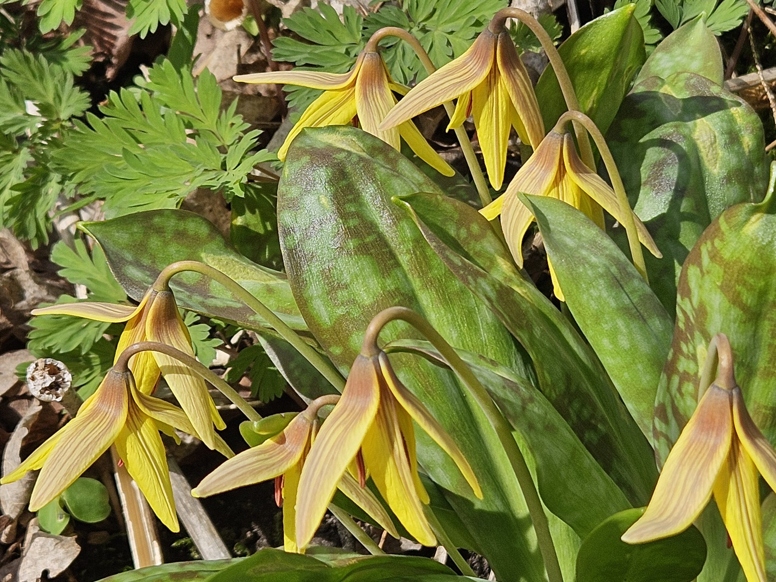
Glen Haffy
https://hikesstaging.brucetrail.org/event/glen-haffy-2/Sorry, the registration cut-off time for this hike has been reached.Not a member? Click here to join today!Hosting Club: Caledon Hills
Category: General
Location (Google Maps): Meet at the roadside parking on Coolihans Sideroad, km 35.0 Map 17, near where the Trail crosses the road. This is just west of the intersection of Glen Haffy Road and Coolihans Sideroad (even though the GPS coordinates are showing just to the east). It is best to aim for arriving around 8:15, so we can start hiking as close to 8:30 am as possible. Thanks!Hike Leader(s): Elizabeth Ganong Click here to contact Hike Leader(s)
Pace: Medium – 3 to 4 km/hour
Terrain: Moderate – some hills and/or some poor footing
Distance: Approximately 6 kmDescription
For today’s hike, we’ll follow the main Bruce Trail and conservation trails to make an approximately 6 km route. The pace will be leisurely in parts, so you can take a moment to enjoy the carpet of spring flowers, seemingly changing weekly this time of year. Consider the following as you prepare for the hike: a hat, insect repellent, sunscreen, hiking boots/shoes, poles. You are encouraged to bring water and a snack as there will be a short break. No dogs please. You can expect a reminder/update message one or two days before the hike.
8:30 Welland Canals Badge Hike #2 Woodend to Museum
https://hikesstaging.brucetrail.org/event/830-welland-canals-badge-hike-2-woodend-to-museum/Sorry, the registration cut-off time for this hike has been reached.Not a member? Click here to join today!Hike open to BTC Members only.
Hosting Club: Niagara
Category: Loop
Location (Google Maps): Woodend Conservation Area ,Taylor Rd, NOTLHike Leader(s): Suzanne Gourluck Click here to contact Hike Leader(s)
Pace: Medium
Terrain: Easy
Distance: 8.5 kmDescription
This is the second Welland Canal hike in a series of 4 hikes. This hike will take you past the third and present day canals. We will spend some time enjoying the museum and surrounding grounds. Bring snacks and water. Dress for the weather.Duntroon View Points
https://hikesstaging.brucetrail.org/event/duntroon-view-points/Sorry, the registration cut-off time for this hike has been reached.Not a member? Click here to join today!Hosting Club: Blue Mountains
Category: Cancelled
Location (Google Maps): Tim Hortons on First St. in Collingwood.Hike Leader(s): Richard edwards Click here to contact Hike Leader(s)
Pace: Medium – 3 to 4 km/hr
Terrain: Moderate – Some hills and/or some poor footing
Distance: 5 kmDescription
We will carpool to the carpark on Cty.Rd. 91 (map 22, km 37.4) and follow the trail north past interesting crevices and amazing views over Georgian Bay. We will pause for a vista at the “wedding tree” before looping back to the road for a peek at the historic Franks Lime Kiln. We will then head south on the trail past more crevices and forest for a look at the huge Walkers Quarry before returning to our cars via a blue side trail. We will have completed a 5 km double loop with lots of nice views.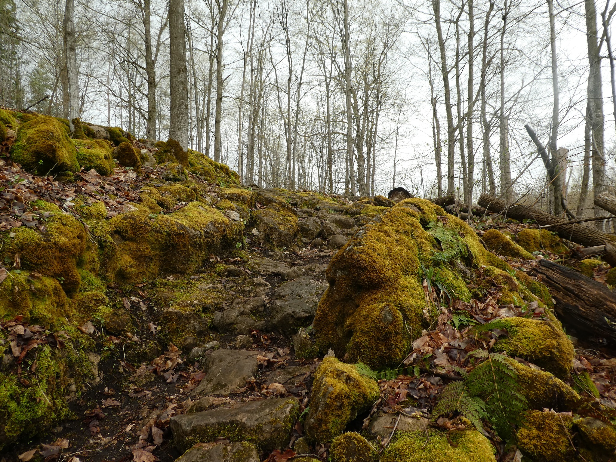
Halton Agreement Forest - using All Trails to navigate your hike
https://hikesstaging.brucetrail.org/event/halton-agreement-forest-using-all-trails-to-navigate-your-hike/Sorry, the registration cut-off time for this hike has been reached.Not a member? Click here to join today!Hosting Club: Iroquoia
Category: General Hike
Location (Google Maps): Meet at the corner of 10 Side Road and 4th Line at 9:15 am.Hike Leader(s): Karen Bergmann Click here to contact Hike Leader(s)
Pace: Medium – 3 to 4 km/hr
Terrain: Moderate – Some hills and/or some poor footing
Distance: 8 kmsDescription
We will hike the bike trails around a big loop. Bring icers for your boots.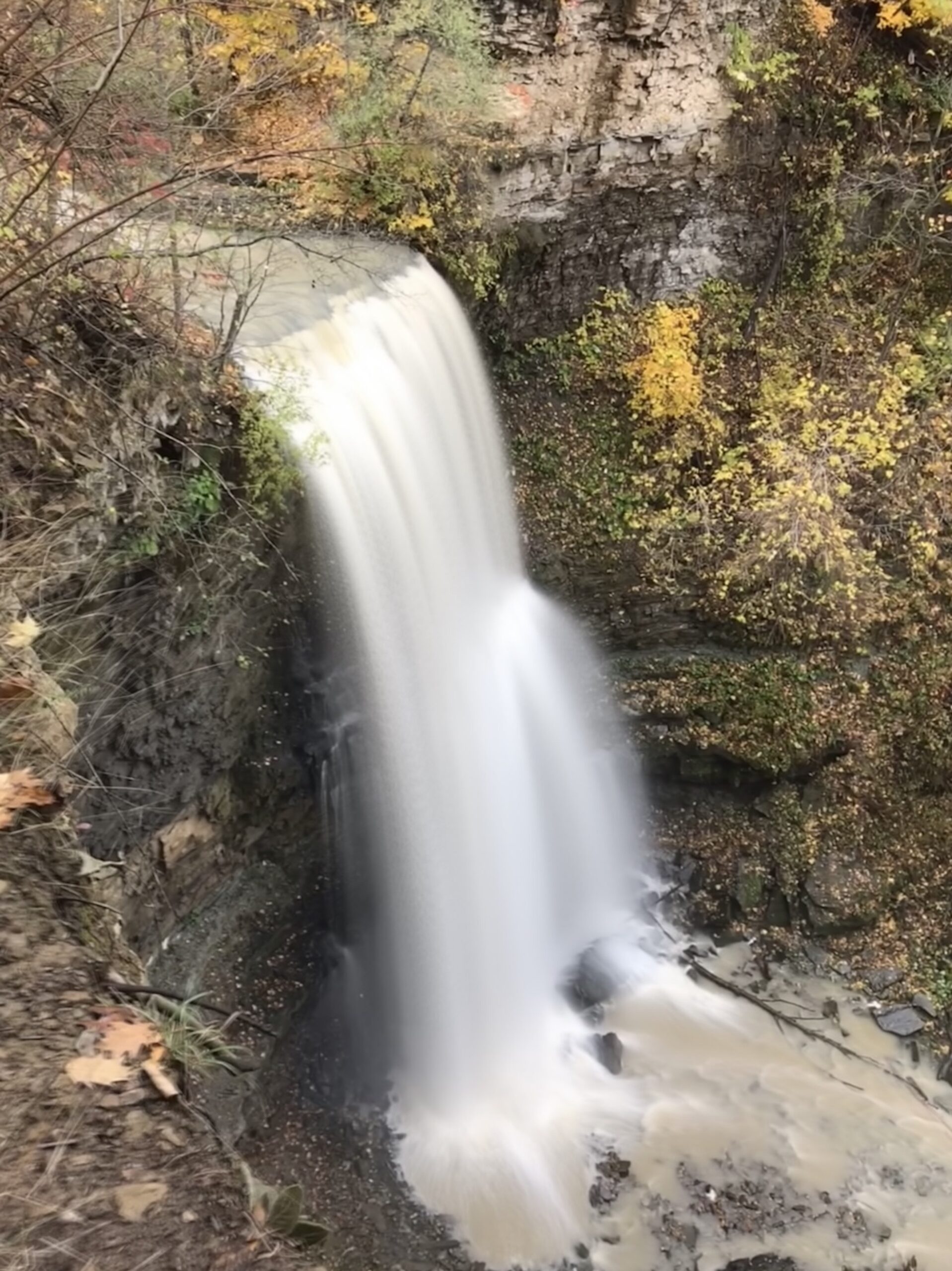
Felkers Falls
https://hikesstaging.brucetrail.org/event/felkers-falls/Sorry, the registration cut-off time for this hike has been reached.Not a member? Click here to join today!Hike open to BTC Members only.
Hosting Club: Iroquoia
Category: Good Companions
Location (Google Maps):Red Hill Trail South Parking Lot – Mud Street Just beyond where Mountain Brow Blvd meets Pritchard Rd on the east mountain area of Hamilton
Hike Leader(s): Ted Bossence Click here to contact Hike Leader(s)
Pace: Medium – 3 to 4 km/hr
Terrain: Moderate – Some hills and/or some poor footing
Distance: 7.5 kmDescription
We will follow the Red Hill Creek Trail and Bruce Trail to Felker’s Falls and follow a similar route back to the parking lot. Bring water and a snack . Trails may be muddy and slippery so poles may be needed. Please arrive by 9:45 am as we will be on the trail by 10:00 am sharp.If cancelled due to rain, I will notify you by email the evening prior to the hike. If you cancel after 4:00 pm on the day prior to the hike, use the contact information I will send you by email a day or two before the hike.
- 17April 17, 2025
Urban Walk: Valley View Park Thornhill 93
https://hikesstaging.brucetrail.org/event/urban-walk-valley-view-park-thornhill-68/Sorry, the registration cut-off time for this hike has been reached.Not a member? Click here to join today!Hosting Club: Toronto
Location (Google Maps): Parking lot is inside Sycamore Drive East of Bayview , north of Bayview Reservoir Park Playground, across Starbucks plaza
Hike Leader(s): Mohammad Aghamiri Click here to contact Hike Leader(s)
Pace: Moderate (3-4 km/hr)
Terrain: Hilly, Level 2 (Intermediate – some hills and uneven surfaces, rocks and roots underfoot)
Distance: 7 – 8 kmDescription
We will explore Valleyview and Maple View parks, and walk along German Mill Creak, in return we stop in Huntington park and have snack under beautiful shed ,Even it is considered Urban walk, it is urban hike as we have some up and down hills and tree roots, please bring your hiking poles, water and snacks
9:00 Queenston Heights
https://hikesstaging.brucetrail.org/event/900-queenston-heights-3/Sorry, the registration cut-off time for this hike has been reached.Not a member? Click here to join today!Hike open to BTC Members only.
Hosting Club: Niagara
Category: In and Out
Location (Google Maps): Locust Grove Picnic Area. Free parking.Hike Leader(s): Suzanne Gourluck Click here to contact Hike Leader(s)
Pace: Brisk
Terrain: Moderate
Distance: 10 kmDescription
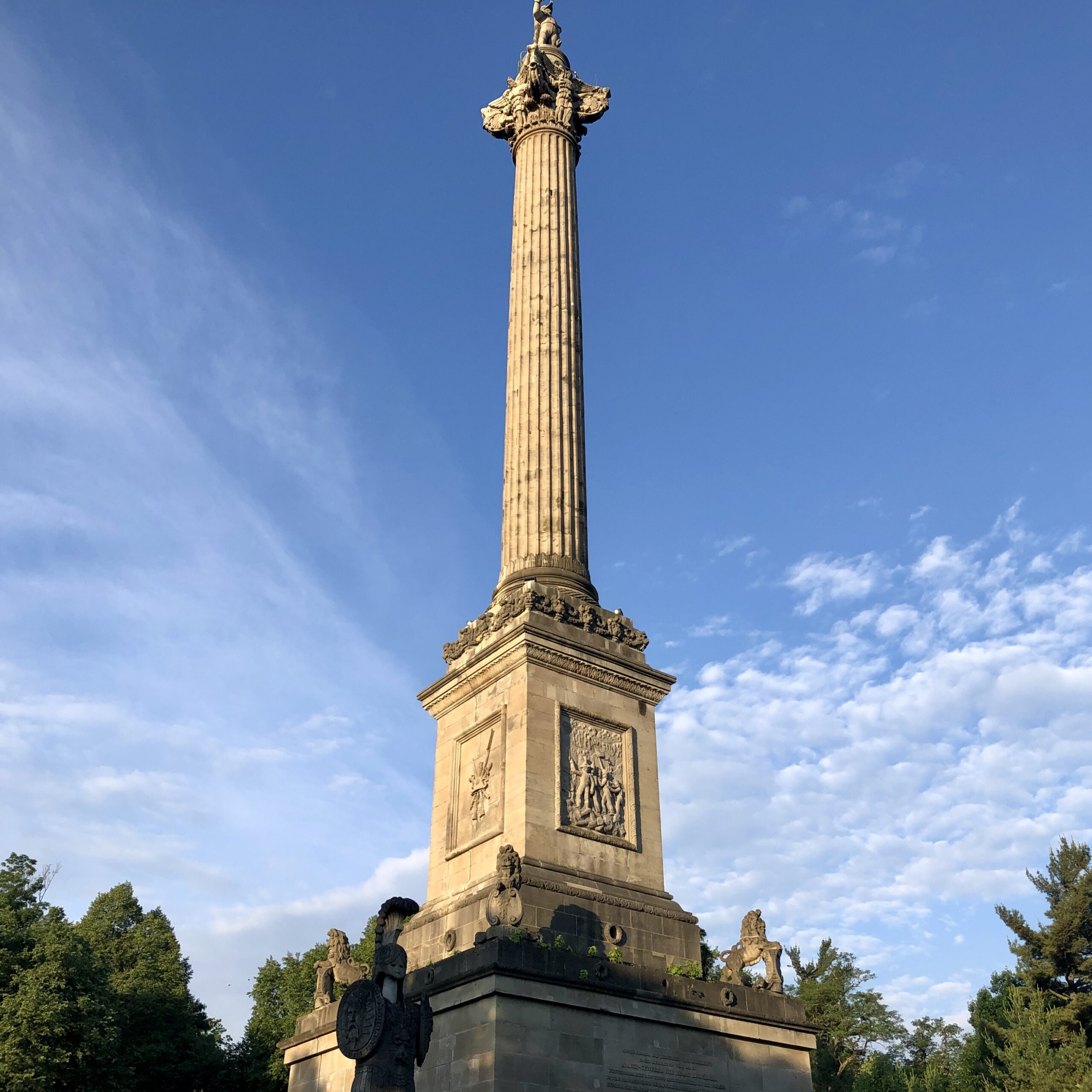
Let’s hike the main trail and some side trails from Locust Grove Picnic Area. This may involve ascending the escarpment depending on the route we take, but we will take it slowly. Dress for the weather and bring poles and a snack.9:00 am Long Hike Glen Road Jordan
https://hikesstaging.brucetrail.org/event/900-am-long-hike-cave-spring-11/Sorry, the registration cut-off time for this hike has been reached.Not a member? Click here to join today!Hosting Club: Niagara
Location (Google Maps): 3640 glen road Jordan
Hike Leader(s): Alan Laver Click here to contact Hike Leader(s)
Pace: Medium
Terrain: Moderate
Distance: 10kDescription
From Glen Road explore the trail network on the escarpment You must register for each hike. Bring Poles, snack and a drink and dress for the weatherHiking Around Cave springs. NEW LOCATION
https://hikesstaging.brucetrail.org/event/hiking-around-cave-springs-new-location-2/Sorry, the registration cut-off time for this hike has been reached.Not a member? Click here to join today!Hosting Club: Niagara
Category: Hike
Location (Google Maps):Cave Springs Conservation Area)
Hike Leader(s): Bill Russell Click here to contact Hike Leader(s)
Pace: Medium
Terrain: Moderate
Distance: 6kDescription
Hiking in and around Cave Springs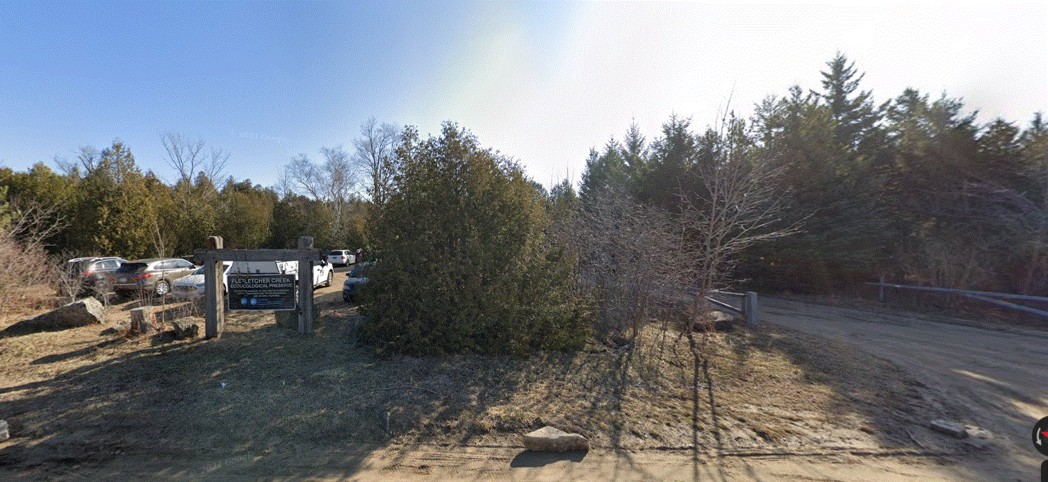
Fletcher Creek Preserve, Puslinch, HCA Property
https://hikesstaging.brucetrail.org/event/fletcher-creek-preserve-puslinch-hca-property/Sorry, the registration cut-off time for this hike has been reached.Not a member? Click here to join today!Hosting Club: Iroquoia
Category: General Hike
Location (Google Maps):Park at Fletcher Creek Ecological Preserve on Concession 7 just north of Gore Rd , Puslinch
HCA passes can be used or $8.00 per vehicleHike Leader(s): Cathie Green Click here to contact Hike Leader(s)
Pace: Medium – 3 to 4 km/hr
Terrain: Easy – Mostly flat and usually good footing
Distance: Approx. 10 kmsDescription
Easy, Moderate hike – Fletcher’s Creek Preserve is an abandoned quarry site that has been rehabilitated and is located at the headwaters of the Spencer Creek watershed
We will loop hike through the preserve as well as an adjacent trail that also was part of the quarry back in the day-lots of local history- it was the area swimming hole and some still use it.
Wear appropriate clothing and footwear for the weather-could be wet. Bring water, snack, hiking poles, cell
Afternoon hike - Mount Nemo (reservation required)
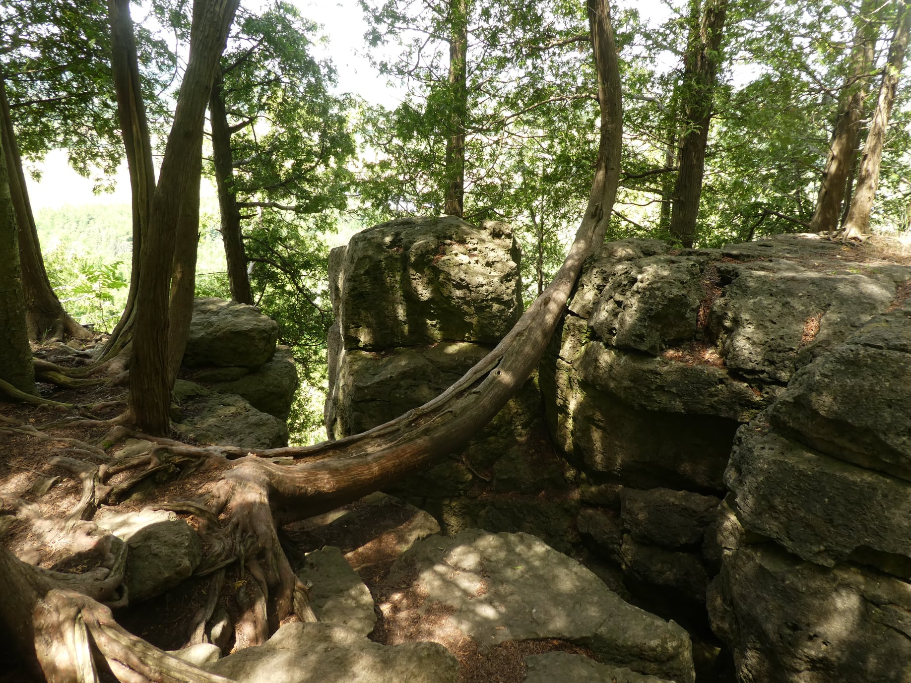
https://hikesstaging.brucetrail.org/event/afternoon-hike-mount-nemo-reservation-required/Sorry, the registration cut-off time for this hike has been reached.Not a member? Click here to join today!Hosting Club: Iroquoia
Category: Afternoon/Evening Hikes
Location (Google Maps): Meet at 4:15 pm in the main parking lot at Mount Nemo on Guelph Line.Hike Leader(s): Karen Bergmann Click here to contact Hike Leader(s)
Pace: Medium – 3 to 4 km/hr
Terrain: Moderate – Some hills and/or some poor footing
Distance: 7 kmsDescription
Meet in the main parking lot at 4:15 and we will hike around the main loop and into the forest for a bit. Reserve your time at conservationhalton.ca