
Hike Schedule
Join us for a hike! Registration required.
All hikes available to BTC members. Some hikes are open to non-members.
See Refund Policy for Paid Hikes >
TIP: The calendar view displays up to 7 hikes on a day, but often there are more. Click “View more events” to see them all.
Categories
- 28March 28, 2025

9:00 am Niagara-on-the-Lake Tour
https://hikesstaging.brucetrail.org/event/900-am-niagara-on-the-lake-tour-36/Sorry, the registration cut-off time for this hike has been reached.Not a member? Click here to join today!Hosting Club: Niagara, Blue Mountains
Category: Urban
Location (Google Maps):Veterans Memorial Park, park just outside the park on King Street
Hike Leader(s): Robin Garrett Click here to contact Hike Leader(s)
Pace: Medium
Terrain: Easy
Distance: 6-7 kmDescription
Each Friday we will explore different neighbourhoods, trails and parkland throughout Historic Niagara-on-the-Lake.Moderate pace with some weeks entirely on sidewalks and roads while others may include a mix of trails and paved pathways. Great way to build up endurance for longer more strenuous hikes.
Prepare for cooler windy conditions on open parkland and along Lake Ontario and Niagara River trails.
Plan to stay for conversation and a warm cup of coffee or tea at Sweets & Swirls, Community Centre, Niagara Stone Road, NOTL
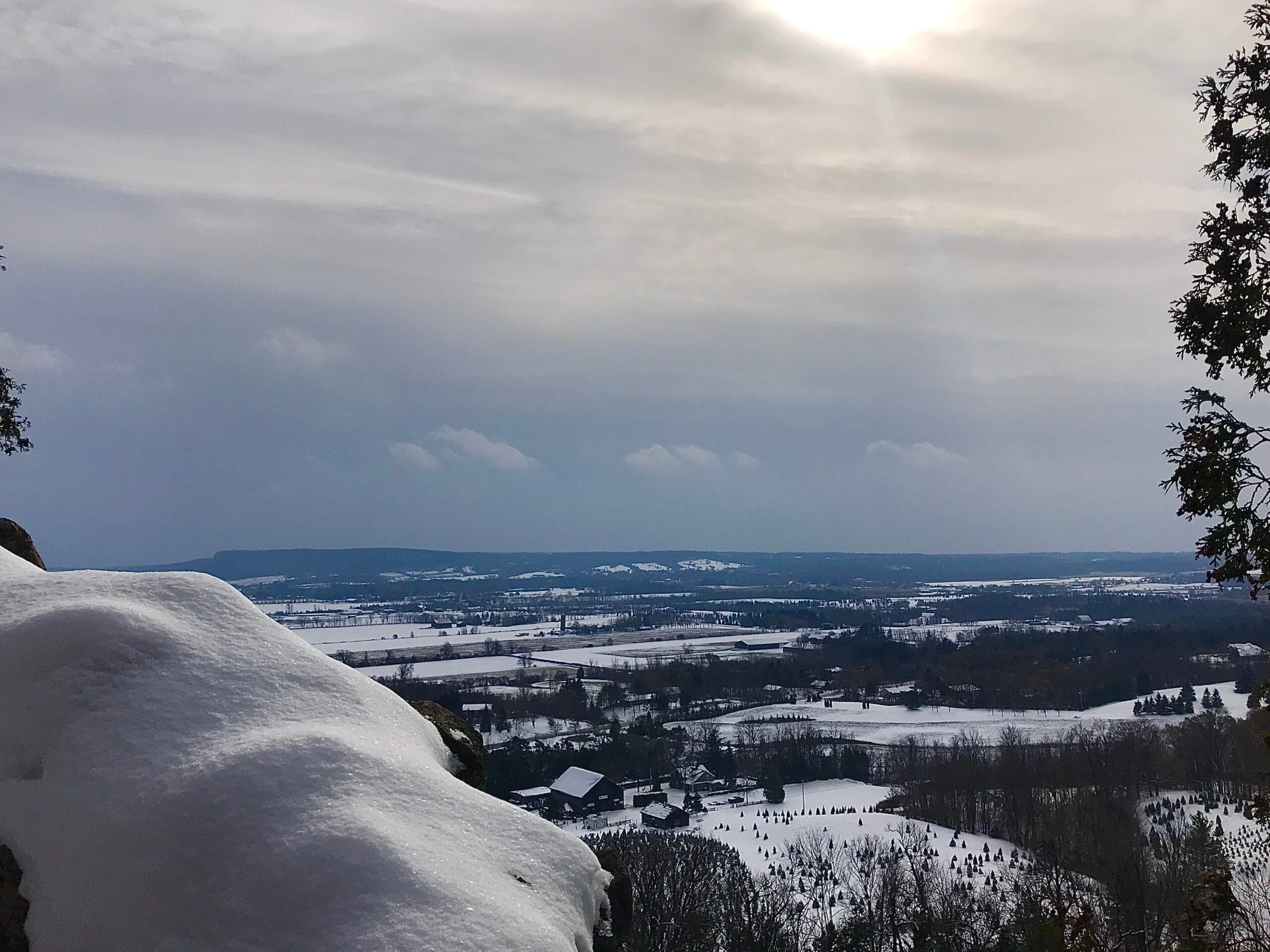
Rattle Snake Pt Conservation Area to Kilbride Park
https://hikesstaging.brucetrail.org/event/rattle-snake-pt-conservation-area-to-kilbride-park-2/Sorry, the registration cut-off time for this hike has been reached.Not a member? Click here to join today!Hosting Club: Iroquoia
Category: General Hike
Location (Google Maps): 9:30am sharp meet at Kilbride parking lot behind Kilbride Public School (6611 Panton St.) by tennis courts (ignore oneway arrows) and shuttle to Rattlesnake Pt. Conservation Area. Drivers with Halton Conservation Passes will be needed to help with the shuttle and should preregister at Rattlesnake CA. Thank you!Hike Leader(s): Karen Capindale-Smith Click here to contact Hike Leader(s)
Pace: Medium – 3 to 4 km/hr
Terrain: Strenuous – Hilly with steep climbs and some poor footing
Distance: +/- 16kmDescription
From Rattlesnake Pt. CA we will follow conservation side trails and main BT along the escarpment and descend/ascend Nassagaweya Canyon into Crawford Lake CA. From there we will wind our way through the CA and on to the calcium pits/caves at Twiss Rd. the last leg of our hike will follow the main BT thru a nature reserve to the new “Kilbride Pass” and parking lot.Please wear appropriate layers and bring water, snack and lunch. Proper icers are a must!
Baked goods should be expected:)
- 29March 29, 2025
School Bus Hike: Caledon Trailway, "Return Of The Pizza Hike"
https://hikesstaging.brucetrail.org/event/school-bus-hike-caledon-trailway-return-of-the-pizza-hike/Sorry, the registration cut-off time for this hike has been reached.Not a member? Click here to join today!Trip Information
Departure Time: 08:30
Return to City Time: 17:00
Departure Point: York Mills Bus PickupOptional Items
Pizza ($.01)Hosting Club: Toronto
Category: Bus Hike
Location (Google Maps): Caledon, Caledon TrailwayHike Leader(s): Tom Swales, Michael Humpage Click here to contact Hike Leader(s)
Pace: Moderate (3-4 km/hr)
Terrain: Flat
Distance: 12 kmDescription
The annual “pizza hike” was a popular Spring TBTC Bus hike starting the bus hike season that ran annually for 23 years up to 2019 organized and led by Larry Haigh an Ruth Dorey. We are pleased to reintroduce this popular Spring hike. The hike will be for a distance of 12 km at a moderate pace, mostly flat, with a dropout at 8 km. If the bus is full, free hot pizza will be delivered to the us on the trail. If the bus is NOT full then $5.00 per person will be collected on the bus. Please select the option upon registration to confirm you would like to participate in the “pizza party”. There will be a 30 minute refreshment stop in Caledon East (where the hike ends) at the Four Corners Bakery. Register early and bring your friends and family along to fill the bus. We should be back at York Mills around 5:00 PM (depending on the Hwy 401 traffic)Bethesda Trail Richmond Hill 180
https://hikesstaging.brucetrail.org/event/car-hike-bethesda-trail-richmond-hill-23/Sorry, the registration cut-off time for this hike has been reached.Not a member? Click here to join today!Hosting Club: Toronto
Category: Car Hike
Location (Google Maps): Meet at Bethesda Trail Head Parking on Bethesda Sideroad off Bayview Avenue, across from Lake Wilcox. This parking lot is free.Hike Leader(s): Mohammad Aghamiri Click here to contact Hike Leader(s)
Pace: Moderate (3-4 km/hr)
Terrain: Hilly, Level 2 (Intermediate – some hills and uneven surfaces, rocks and roots underfoot), Variable
Distance: 12-14 kmDescription
Join us to explore the trails of York Regional Forest and the Oak Ridges Corridor at Jefferson Forest and Bond lake,From parking lot we hike thought Jefferson forest and continue to Bond Lake and have snack beside the lake and return to parking around 13 to 13.30
Niagara Glen Hike
https://hikesstaging.brucetrail.org/event/niagara-glen-hike-3/Sorry, the registration cut-off time for this hike has been reached.Not a member? Click here to join today!Hosting Club: Niagara
Category: Loop
Location (Google Maps): Meet at the Niagara Glen Nature Centre parking lot, 3050 Niagara Parkway, Niagara Falls. This is located between the Whirlpool Golf Course and the Niagara Botanical Gardens, on the river side of the Niagara Parkway. Parking fees may apply.Hike Leader(s): Marion Hanover Click here to contact Hike Leader(s)
Pace: Medium
Terrain: Strenuous
Distance: 10kmDescription
Hike deep in the Niagara Gorge, along stairways cut into the rock and rugged paths that wind through this pristine pocket of Carolinian Forest. View ancient geological formations and fossils dating back millions of years, while hiking along the turbulent rapids of the Niagara River. This is a strenuous hike and there is a chance hikers will get wet. Depending on weather conditions, bring water, a snack, icers, gaiters and hiking poles, if necessary. Dress in layers.
Dufferin Hi-Land 60th Anniversary Side Trail Highlights
https://hikesstaging.brucetrail.org/event/dufferin-hi-land-60th-anniversary-side-trail-highlights-3/Sorry, the registration cut-off time for this hike has been reached.Not a member? Click here to join today!Hosting Club: Dufferin Hi-Land
Category: General Hike
Location (Google Maps): Park at Split Rock Narrows parking lot on 2nd Line EHS, 1.5 km north of 25 Sideroad (north of Mono Cliffs Provincial Park)Hike Leader(s): su Bate, Helen Bailey Click here to contact Hike Leader(s)
Pace: Brisk
Terrain: Dependent on Conditions, Moderate, Slippery and Steep Sections
Distance: 10kmDescription
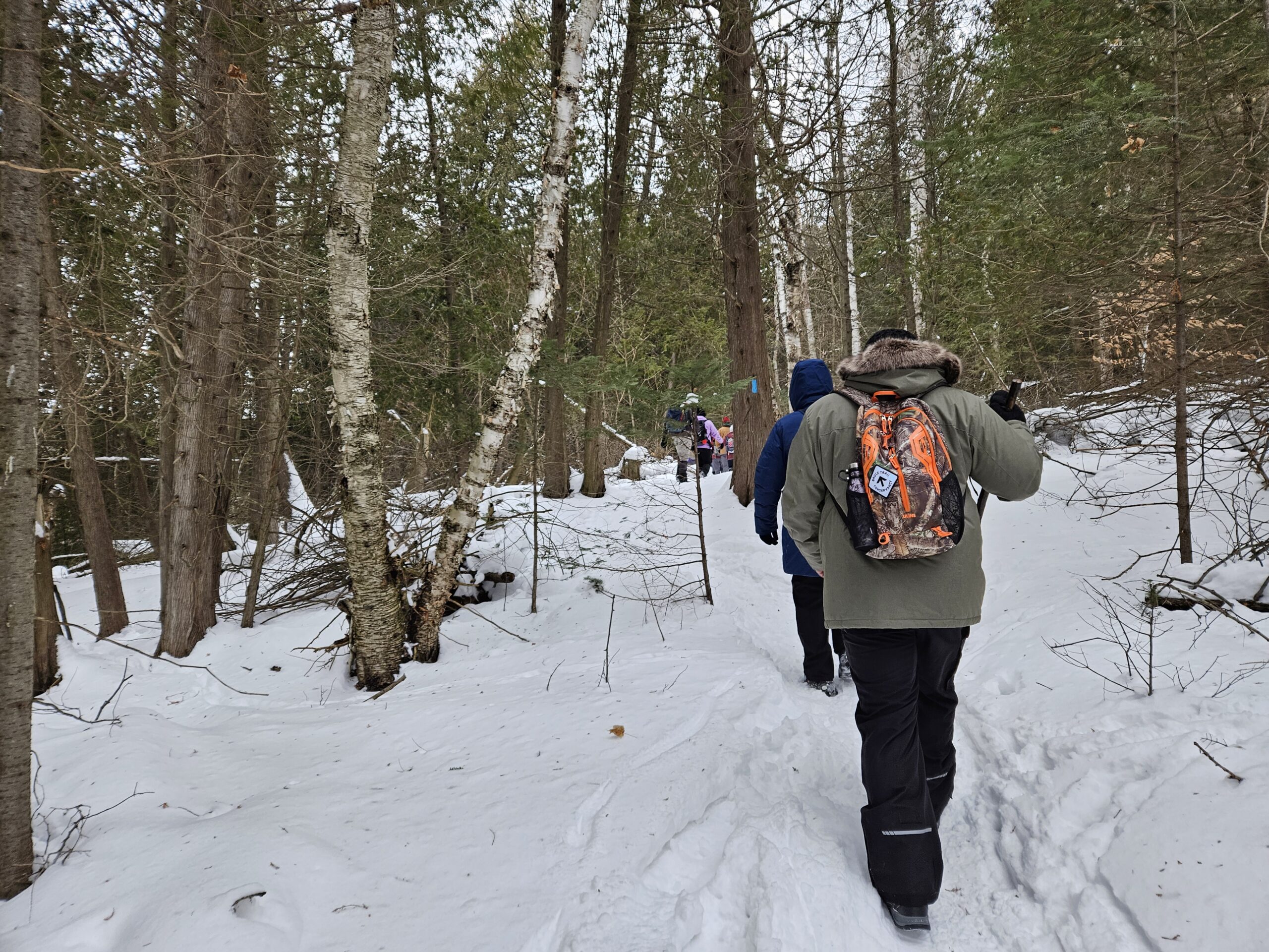
This is the 3rd in a series of 6 loop hikes; each hike is between 9-12km in length. If you hike all 6 of the hikes in this series, or otherwise hike 60 km in Dufferin during 2025, you qualify for the 60th Anniversary badge.Bring a drink, a snack and ICERS. There are some steep drop offs and the trail can be slippery, icy and muddy at this time of year. Dress for the weather!We will follow Splitrock Side Trail east and south to second intersection with Ralph Tremills Side Trail. Then we follow Ralph Tremills east and return via Splitrock Side Trail west to 2ndLine. We’ll follow 2nd Line EHS Side Trail south to 25 Sideroad, cross the stile and continue south on Walter Tovell Side Trail to Clifftop Trail. Keep right on Clifftop Trail to Bruce Main Trail, following the Main Trail west and north to Lookout Side Trail (km 4.0). Take Lookout Trail north and east to Walter Tovell and return north on Walter Tovell and 2nd Line EHS Side Trail to parking lot.
Saturday Shorts: Mono Centre
https://hikesstaging.brucetrail.org/event/saturday-shorts-mono-centre-3/Sorry, the registration cut-off time for this hike has been reached.Not a member? Click here to join today!Hosting Club: Caledon Hills
Category: General
Location (Google Maps): Meet at 9:30 am at the parking lot at Mono Community Centre. The centre is located at 754483 Mono Centre Rd. Please park in the gravel surface lot – which is the first lot as you drive in. You might notice the side trail sign at the edge of the lot. It is best to aim for arriving around 9:15, so we can start hiking as close to 9:30 am as possible. Thanks!Hike Leader(s): Elizabeth Ganong Click here to contact Hike Leader(s)
Pace: Medium – 3 to 4 km/hour
Terrain: Easy – mostly flat and usually good footing, Moderate – some hills and/or some poor footing
Distance: Approximately 6 kmDescription
This hike has been cancelled due to inclement weather.Looking to get out on a Saturday but not give up your whole day? Saturday Shorts, a hiking series, will get you out in a small group on a short hike. This Saturday’s 6 km hike takes us from the Mono Community Centre into Mono Cliffs to loop around the South Outlier and then return to the parking area. Bring water and a snack, if desired. There will be a short break. No dogs please. Registrants can expect a reminder/update message one or two days before the hike. Be prepared for snowy, icy, or muddy conditions with icers/crampons and poles as needed. Our pace will match the conditions and might be slower than indicated. The reminder email will include updated notes on trail conditions.
Niagara Gorge, American side CANCELLED
https://hikesstaging.brucetrail.org/event/niagara-gorge-american-side-4/Sorry, the registration cut-off time for this hike has been reached.Not a member? Click here to join today!Hike open to BTC Members only.
Hosting Club: Niagara
Category: Cancelled
Location (Google Maps): Whirlpool State Park, Niagara Scenic Pkwy, Niagara Falls, NY 14303, United StatesHike Leader(s): Marion Hanover Click here to contact Hike Leader(s)
Pace: Medium
Terrain: Easy
Distance: 8 kmDescription
Let’s explore the Niagara gorge from the American side. Proper documentation needed to cross into the United States. - 30March 30, 2025
CANCELLED (freezing rain alert): Indigenous Learning @ Crawford Lake
https://hikesstaging.brucetrail.org/event/indigenous-learning-crawford-lake/Sorry, the registration cut-off time for this hike has been reached.Not a member? Click here to join today!Hosting Club: Caledon Hills
Category: General
Location (Google Maps): Meet in the parking lot of the Crawford Lake Conservation Area, adjacent to Longhouses.Hike Leader(s): GG Click here to contact Hike Leader(s)
Pace: Leisurely – 3 km/hour or less, Medium – 3 to 4 km/hour
Terrain: Easy – mostly flat and usually good footing, Moderate – some hills and/or some poor footing
Distance: 10 kmDescription
Are you on a learning journey to enhance your Indigenous learnings? We are! Join Sandy and I as we explore the longhouses, medicine garden, biodiversity displays and much more at Crawford Lake during their SweetWater celebration.Maple sugaring is a truly Indigenous tradition. Visit Crawford Lake to learn more about how Indigenous sugar making has changed over the years. https://www.conservationhalton.ca/mapleseason/
Park entry requires gate admission ($8-11) through Halton Conservation: https://admin.parkpassproject.com/book?inventory=1229284276&inventoryGroup=1554186518
We will also do a hike around the rare meromictic lake and possibly explore some side trails of the Bruce Trail if there’s time and interest. Please wear appropriate gear, hiking boots, poles, layers and bring a lunch, snack and water. FYI there is a basic canteen and washrooms on site but we will be out and about during our time there.
Mountsberg Conservation Area is close by and they also have sweetwater activities. Pending time & interest, we may explore as a group after our time at Crawford lake 🙂
Join us as we enjoy, learn and appreciate.

Urban Walk: Waterfront Trail 11/11 - Whitby to Oshawa
https://hikesstaging.brucetrail.org/event/urban-walk-waterfront-trail-11-11-whitby-to-oshawa/Sorry, the registration cut-off time for this hike has been reached.Not a member? Click here to join today!Hosting Club: Toronto
Category: Urban Walk
Location (Google Maps): Whitby, OntarioHike Leader(s): Brian Rideout Click here to contact Hike Leader(s)
Pace: Moderate (3-4 km/hr)
Terrain: Flat
Distance: 10 kmDescription
Please join me under the clock in the Great Hall of Union Station by 9:05 am. We will take the eastbound Lakeshore train departing 9:20 AM, arriving in Whitby at 10:13 AM. If you prefer to drive, please meet at the north entrance of Whitby Go Station near the washrooms and the ticket counter.Please check out the GO Transit website and consider purchasing a one day pass for $10.
We will hike south to the lake and east to Oshawa along the Waterfront Trail for an estimated distance of 10 km. We will pass through several parks in Whitby and Oshawa along the way.While in Oshawa we will take Durham Region Transit to the Fox and the Goose pub and to Oshawa GO so please bring your Presto card and / or cash fare. Please bring sun screen, bug spray, a light snack and at least 2 liters of water.
Here is a map of our route: Whitby to Oshawa
Snowshoe Exploring Sydenham Hike #11
https://hikesstaging.brucetrail.org/event/exploring-sydenham-hike-11/Sorry, the registration cut-off time for this hike has been reached.Not a member? Click here to join today!Hosting Club: Sydenham
Category: Snowshoe Hike
Location (Google Maps):Meet in the north-east corner of the parking lot at Home Depot on Highway 26 on the east side of Owen Sound.
Hike Leader(s): Bill Snel Click here to contact Hike Leader(s)
Pace: Leisurely: 3 km/h or less
Terrain: Moderate: Some hills and/or poor footing
Distance: 2 kmDescription
We will carpool to snowshoe the Cottonwood loop. This is hike 11 in the book Exploring Sydenham. There will be one secret to find. If you do not have a book and would like one ($30) let me know by using the “Contact hike leader” link. - 31March 31, 2025
Sweetwater Series - Hike 4 - Forks of the Credit
https://hikesstaging.brucetrail.org/event/sweetwater-series-hike-4-forks-of-the-credit/Sorry, the registration cut-off time for this hike has been reached.Not a member? Click here to join today!Hosting Club: Caledon Hills
Category: General
Location (Google Maps): Southwest shoulder of Willoughby Rd. and Escarpment SideroadFrom ON-10 head west on Escarpment Sideroad until you meet Willoughby Road.
Hike Leader(s): Jennie Greenfield; Elizabeth Ganong Click here to contact Hike Leader(s)
Pace: Medium – 3 to 4 km/hour
Terrain: Strenuous – hilly with steep climbs and some poor footing
Distance: 9 kmDescription
This series of five hikes celebrates the glorious sugar maple as we move from winter towards spring. The trails are all in or near the Caledon Hills section of the Bruce Trail and range from 7 to 10 km in length.Register individually for one, a few, or all of the Sweetwater Badge Hikes taking place on Mondays. Participants who complete the five hikes will be eligible to receive a Sweetwater badge. (Note: If you wish to purchase a badge, the cost is $10.00 for BTC members and $15.00 for non-members.)
Hike 4 loops through the Forks of the Credit Provincial Park with a stop at the Credit River. This hike has some big hills and can be strenuous under winter / spring conditions.
Bring your choice of hydration and snacks. Hiking boots and icers/crampons are required.
Participants will be notified the night before if a hike must be cancelled due to inclement weather.
CANCELLED - Kilbride to Twiss Rd return - Afternoon Hike
https://hikesstaging.brucetrail.org/event/kilbride-to-twiss-rd-return-afternoon-hike/Sorry, the registration cut-off time for this hike has been reached.Not a member? Click here to join today!Hosting Club: Iroquoia
Category: Afternoon/Evening Hikes
Location (Google Maps): Meet in the parking lot behind the school in Kilbride at 4:15 pmHike Leader(s): Karen Bergmann Click here to contact Hike Leader(s)
Pace: Medium – 3 to 4 km/hr
Terrain: Moderate – Some hills and/or some poor footing
Distance: 6.5 kmsDescription
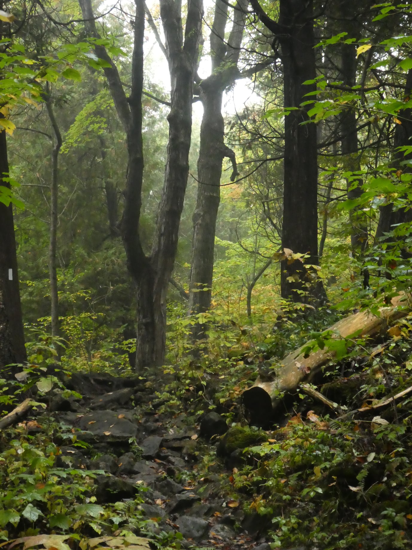
Meeting in the parking lot behind the Kilbride School, we will hike along the main trail to Twiss Road and turn around and hike back. There is some technical footing near the Twiss Road end of the trail, but otherwise this is a fairly easy hike. Bring icers for your boots just in case it’s still icy.