
Hike Schedule
Join us for a hike! Registration required.
All hikes available to BTC members. Some hikes are open to non-members.
See Refund Policy for Paid Hikes >
TIP: The calendar view displays up to 7 hikes on a day, but often there are more. Click “View more events” to see them all.
Categories
- 22March 22, 2025

Sydenham End to End - Stain Glass Badge
https://hikesstaging.brucetrail.org/event/sydenham-end-to-end-stain-glass-badge/Sorry, the registration cut-off time for this hike has been reached.Not a member? Click here to join today!This is a Multi-Day Hike
You are signing up for the following dates and times:
2025-03-22 at 07:45
2025-03-23 at
2025-03-29 at
2025-03-30 at
2025-04-05 at
2025-04-06 at
2025-04-12 at
2025-04-13 atHosting Club: Iroquoia, Dufferin Hi-Land, Sydenham
Category: Stained Glass Badge End to End Fundraiser Hike
Location (Google Maps): Blantyre Parking LotHike Leader(s): Anita Bergsma Click here to contact Hike Leader(s)
Pace: Medium – 3 to 4 km/hr
Terrain: Slippery and Steep Sections, Slippery Sections Likely, Strenuous – Hilly with steep climbs and some poor footing
Distance: Varies depending on available parking. The section is about 170km with 50km on road / 8 days of hiking.Description
Pace: Medium – 3-4 km/hr
Terrain: Dependent on Conditions, Moderate – Some hills and/or some poor footing, Strenuous – Hilly with steep climbs and some poor footing
Distance: 165km over 8 days ~ 20km – 25 km+ per day.Description
Overview
Important – Please do not register for this hike unless you can attend all 8 days. You may only miss 1 day if you have to but must be made up and reported to the Hike Leader before the last scheduled hike.
This is a series of 8 hikes to complete the Sydenham section of the Bruce Trail. The organization, guidance, logistics and stained glass badge are included in your fee, which is non-refundable. Proceeds support the Sydenham Bruce Trail Club, which in turn supports the Bruce Trail Conservancy’s mission to “Preserve a ribbon of wilderness, for everyone, forever.”For this E2E in 8, we will be following the main trail northbound, finishing in Wiarton. Please note that you are signing up for the entire series of 8 hikes as a Group Hike. This Sydenham series in 8 hikes is geared toward experienced long-distance hikers with the expectation of a 3 to 4 km/ hr. pace maintained over a 20 km-plus day. The section is approximately 170 km, so daily distances will be based on available parking. No dropout points have been established, and therefore, hikers who must drop out will be responsible for their transportation back to their vehicle. Please note that public transportation back to your vehicle is very limited if existent at all, in this section. Please be honest about your hiking abilities. We will hike at a steady pace, but there will be plenty of time to take pictures and enjoy the flora and fauna of this beautiful but challenging section. This particular set of 8 hikes is intended to be Moderate. It is a group hike, so you must be able to keep pace with the person in front of you.
Attire and Daily Hikes.
Hikers will be expected to be wearing proper hiking boots and layered clothing with the expectation of cool and possible wet weather. Sufficient food and water for a full day of hiking is required as well as hiking poles (if you use them), and wet weather gear is strongly recommended. Bug spray is also suggested. Clothing adjustments and bio-breaks are as needed. Please let the sweep person know and they will wait for you. A morning break around 10 am and a 10-15 minute on-trail lunch break will be scheduled. An afternoon break will be based on our expected finish time. Depending on weather conditions, these times may vary.
Please do not sign up for this hike if you need to miss any of the days. It is 4 straight weekends and your attendance is needed in each of the days for sharing of car shuttling. One day may be made up if you absolutely must miss a day.
All participants will be expected to take turns either driving to the start or driving the drivers back at the end of the day. Carpooling to our meeting spot with 2 people in the car is generally ok but we would like to minimize and equalize the driving/shuttling as much as possible so it is fair for all participants.
Leave No Trace
Please remember, like all hikes, this is a Leave No Trace hike. Pack out whatever you pack in. Do not toss anything onto or into any sections of the trail. We will also try to leave the trail better than we found it so we will be collecting collectable garbage we might see along the way. Daily volunteers to collect trail trash will be supplied with a bag. Dogs will not be welcome on this hike.
Accommodations
It is strongly recommended you make reservations for accommodations as soon as you register for the hike. Accommodations can be made anywhere along the Sydenham trails. There is a motel, a campground and several B&Bs. If you would like a roommate, I can share your email with any other registered participants who are also looking for shared accommodations. Please let me know.
Daily
We meet for each hike by at least 7:45 am each day. A schedule for meeting and start locations will be sent to each participant closer to the start date. We will hike northerly each day. The schedule is subject to change.
Boyd conservation park,,,, Persian new year hike (Nou Rooz)
https://hikesstaging.brucetrail.org/event/car-hike-boyd-conservation-park-3/Sorry, the registration cut-off time for this hike has been reached.Not a member? Click here to join today!Hosting Club: Toronto
Location (Google Maps): Free parking lot before main entrance of park
Hike Leader(s): Mohammad Aghamiri Click here to contact Hike Leader(s)
Pace: Moderate (3-4 km/hr)
Terrain: Level 2 (Intermediate – some hills and uneven surfaces, rocks and roots underfoot), Variable
Distance: 12-14 kmDescription
Let’s hike Boyd conservation park trails through beautiful valleys.It is winter time,please bring your ice cleats and proper clothing and hiking poles are recommended

9:00am Niagara Shores Park Beachcoming Hike
https://hikesstaging.brucetrail.org/event/900am-niagara-shores-park-beachcoming-hike-3/Sorry, the registration cut-off time for this hike has been reached.Not a member? Click here to join today!Hosting Club: Niagara
Category: Loop
Location (Google Maps):Corner of Niven Road and Lakeshore Road in Niagara-on-the-Lake. Park along Old Lakeshore Road.
Hike Leader(s): Suzanne Gourluck Click here to contact Hike Leader(s)
Pace: Leisurely
Terrain: Moderate
Distance: 5-6kmDescription
Explore a lakeshore park, shoreline and cliff top trail in Niagara-on-the-Lake. This beachcombing hike involves uneven ground, clambouring over fallen trees, a pebbly beach, sandy, wet and exposed areas. Hat, Icer’s and poles are highly recommended. Please note: This is not a maintained trail so caution is needed.Dufferin Hi-Land 60th Anniversary Side Trail Highlights
https://hikesstaging.brucetrail.org/event/dufferin-hi-land-60th-anniversary-side-trail-highlights-2/Sorry, the registration cut-off time for this hike has been reached.Not a member? Click here to join today!Hosting Club: Dufferin Hi-Land
Category: General Hike
Location (Google Maps): Parking is at the Mono Cliffs Provincial Park lot on 3rd line. You must purchase a reservation pass in advance (https://www.ontarioparks.ca/fees/dayuse/2024).Hike Leader(s): su Bate, Helen Bailey Click here to contact Hike Leader(s)
Pace: Brisk
Terrain: Dependent on Conditions, Moderate, Slippery Sections Likely
Distance: 11.5kmDescription
This is the 2nd in a series of 6 loop hikes; each hike is between 9-12km in length. If you hike all 6 of the hikes in this series, or otherwise hike 60 km in Dufferin during 2025, you qualify for the 60th Anniversary badge. Please bring a drink, snack and icers. The trail is well used and can be slippery, muddy and icy. Dress for the weather!We will follow the Carriage Side Trail to South Outlier Connector to South Outlier Loop. We will complete the loop and return via South Outlier Connector to Carriage Side Trail, then continue west on Carriage Side Trail to Bruce Main Trail (km 2.0), continuing west, then north to McCarston Lake Side Trail (km 2.5). We will rejoin the Bruce Main Trail (km 5.5) and continue north, looping back to km 2.0, returning to the 3rd line parking lot via Carriage Side Trail.

Saturday Shorts: Cold Creek
https://hikesstaging.brucetrail.org/event/saturday-shorts-cold-creek-2/Sorry, the registration cut-off time for this hike has been reached.Not a member? Click here to join today!Hike open to BTC Members only.
Hosting Club: Caledon Hills
Category: General
Location (Google Maps): Meet at the main gate entrance. Park roadside near the gate. Please do not drive into the park past the main gate, as we are starting out on the loop from this point. The park address is 14125 11th Concession, King (near Nobleton). The GPS coordinates will lead you into the park past the main gate. Please aim to arrive at 9:15 am for a 9:30 start. Thanks!Hike Leader(s): Elizabeth Ganong Click here to contact Hike Leader(s)
Pace: Medium – 3 to 4 km/hour
Terrain: Easy – mostly flat and usually good footing, Moderate – some hills and/or some poor footing
Distance: Approximately 6 kmDescription
Looking to get out on a Saturday but not give up your whole day? Saturday Shorts, a hiking series, will get you out in a small group on a short hike. This Saturday’s hike is an enjoyable one in any season. We’ll hike the outer loop, making about a 6 km route, at Cold Creek Conservation Area. Be prepared for winter conditions by bringing warm gear, icers/crampons, and poles. If the weather warms up, the route may be altered to avoid a flooded section of trail. Bring water and a snack, if desired. There will be a short break. No dogs please. Registrants can expect a reminder/update message one or two days before the hike.For this hike, registrants can bring a friend who is not yet a BTC member. Please send the hike leader a message indicating that a friend will be joining you. A paper registration sheet will be available for your friend to sign in, so please factor that into your arrival time.
Urban Walk: Highland Creek Trail--East Point Park
https://hikesstaging.brucetrail.org/event/urban-walk-highland-creek-trail-east-point-park/Sorry, the registration cut-off time for this hike has been reached.Not a member? Click here to join today!Hosting Club: Toronto
Category: Urban Walk
Location (Google Maps): Guildwood GO station, 4105 Kingston Road, Scarborough ONHike Leader(s): Felix Wan, Tom Swales Click here to contact Hike Leader(s)
Pace: Moderate (3-4 km/hr)
Terrain: Level 2 (Intermediate – some hills and uneven surfaces, rocks and roots underfoot)
Distance: 15 kmDescription
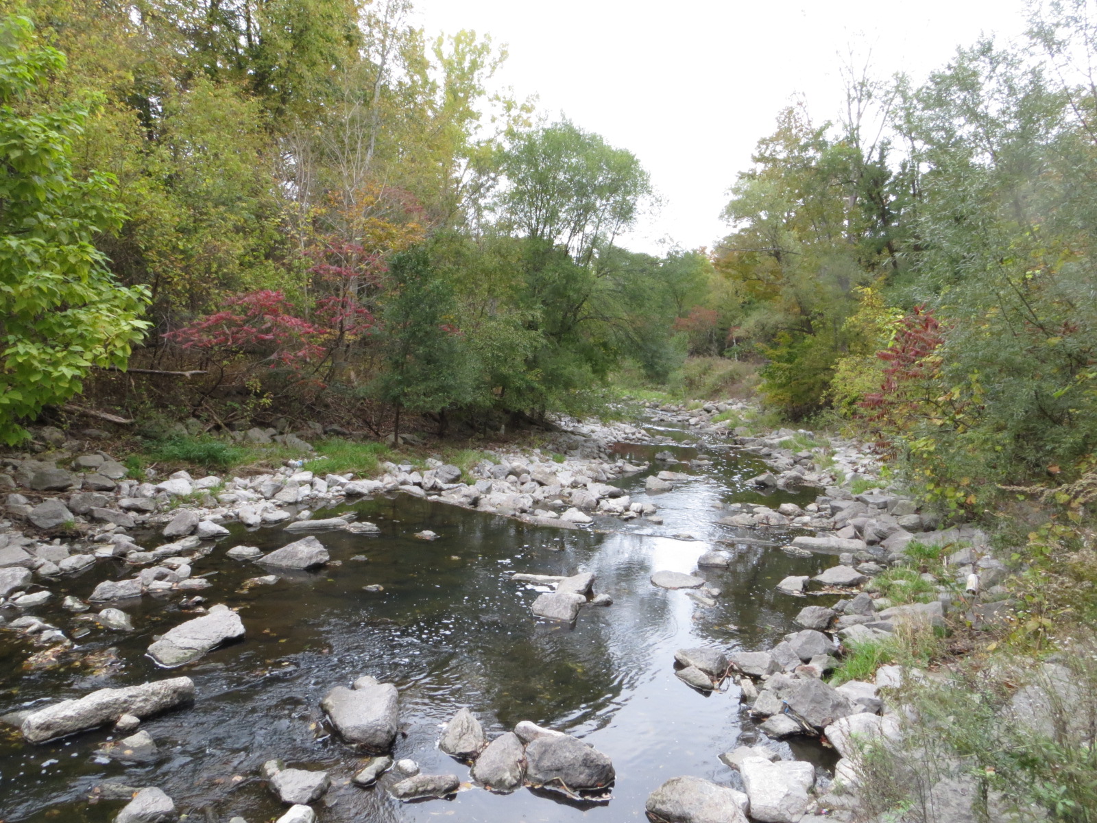
On the first Saturday of spring, join us on a walk along scenic Highland Creek in Scarborough, through East Point Park and ending at Guild Park. We will enjoy the beautiful Highland Creek valley, naturally-eroded cliffs and forests along the trail banks of the winding river, and Highland Creek and Morningside Parks. Perhaps we will get an opportunity to watch white-tailed deer and red foxes that have been spotted in the area. There will also be several lookout points over Lake Ontario.The terrain is mostly flat and features a mixture of paved paths, road walking, and dirt trails. Depending on weather conditions, parts of the trail may be muddy or icy. Bring icers/crampons just in case, as well as a lunch/snacks and at least 2L of drinking water.
Route map: https://onthegomap.com/s/6mcjm8j6
Travel to the trailhead:
- By TTC: Meet Felix and Tom at Kennedy subway station by 9:15 a.m. to take the route 905 Eglinton East Express bus (bus bay #5 on Platform A, the platform two levels directly above the subway trains). The bus departs Kennedy station at 9:30 a.m. and arrives at Guildwood GO station at 9:51 a.m.
- By GO: *UPDATED* There will be no service at Guildwood station on the Lakeshore East line on March 22 due to construction. Transit users should take the TTC as above.
- By car: Free parking is available (first-come, first-served) at Guildwood station. Note that there are two parking lots: the main lot (to the north) and the south lot. We will meet outside the entrance to the station building in the main lot.
Washrooms:
Please use washrooms at Kennedy station (east end of the level above the subway trains) before the start of the hike. During the hike, we will take “Bruce Trail-style” bio breaks in the woods, as access to public washrooms will be limited, given the season.
Après-hike:
There will be an optional après-hike stop at Gabby’s. Alternatively, you may choose to take a self-guided tour of Guild Park, or the Clark Centre for the Arts (free admission) located within the park.
Urban Walk: Waterfront Trail 11/11 – Whitby to Oshawa
https://hikesstaging.brucetrail.org/event/urban-walk-waterfront-trail-11-11-whitby-to-oshawa-2/Sorry, the registration cut-off time for this hike has been reached.Not a member? Click here to join today!Hosting Club: Toronto
Category: Urban Walk
Location (Google Maps): CanadaHike Leader(s): Brian Rideout Click here to contact Hike Leader(s)
Pace: Moderate (3-4 km/hr)
Terrain: Flat
Distance: 10 kmDescription
Please join me under the clock in the Great Hall of Union Station by 9:05 am. We will take the eastbound Lakeshore train departing 9:20 AM, arriving in Whitby at 10:13 AM. If you prefer to drive, please meet at the north entrance of Whitby Go Station near the washrooms and the ticket counter.Please check out the GO Transit website and consider purchasing a one day pass for $10.
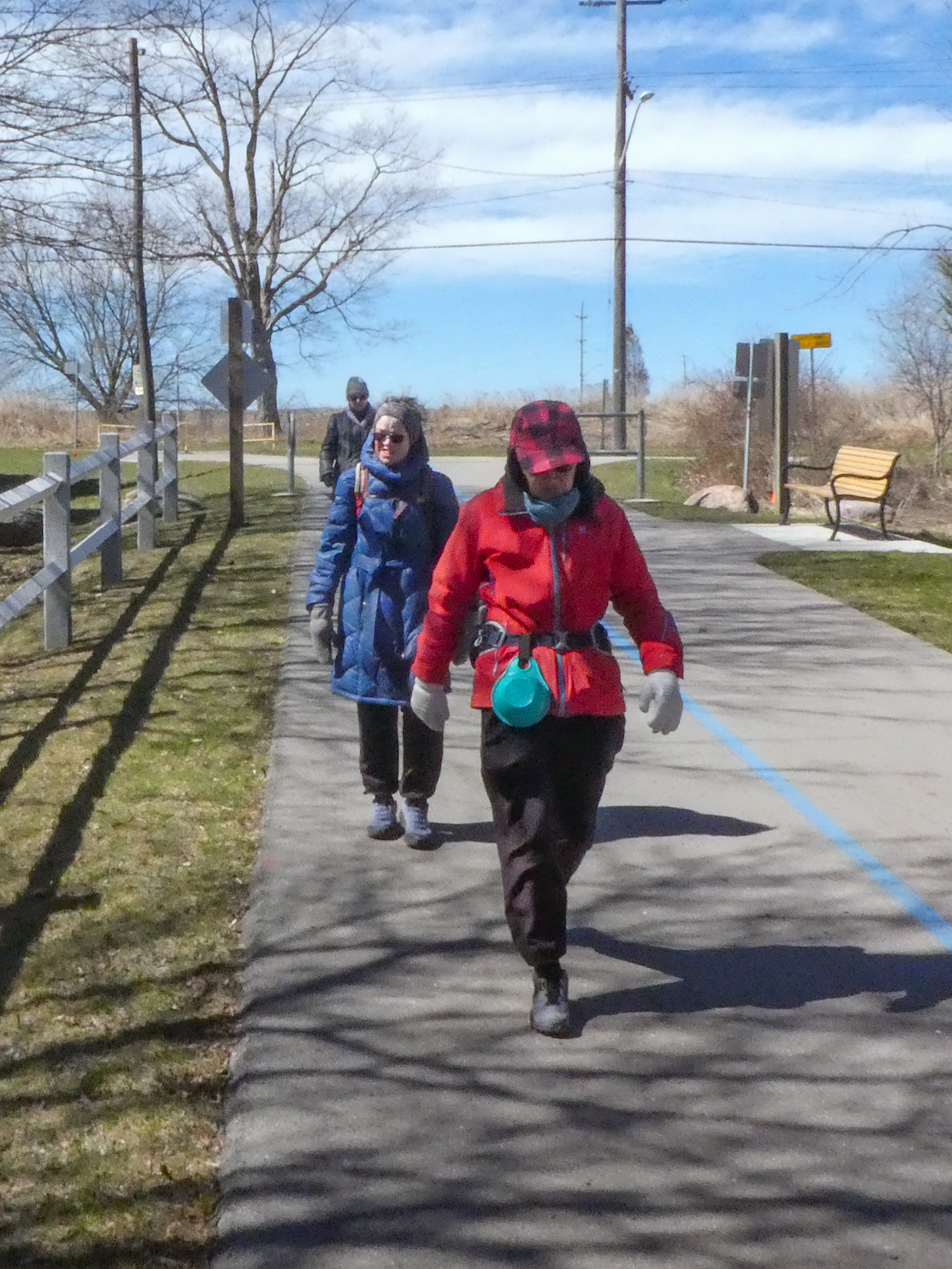
We will hike south to the lake and east to Oshawa along the Waterfront Trail for an estimated distance of 10 km. We will pass through several parks in Whitby and Oshawa along the way.While in Oshawa we will take Durham Region Transit to the Fox and the Goose pub and to Oshawa GO so please bring your Presto card and / or cash fare. Please bring sun screen, bug spray, a light snack and at least 2 liters of water.
Here is a map of our route: Whitby to Oshawa