
Hike Schedule
Join us for a hike! Registration required.
All hikes available to BTC members. Some hikes are open to non-members.
See Refund Policy for Paid Hikes >
TIP: The calendar view displays up to 7 hikes on a day, but often there are more. Click “View more events” to see them all.
Categories
- 16March 16, 2025
CANCELLED - Speyside Loops - How to use the Bruce Trail app
https://hikesstaging.brucetrail.org/event/speyside-loops-how-to-use-the-bruce-trail-app/Sorry, the registration cut-off time for this hike has been reached.Not a member? Click here to join today!Hosting Club: Iroquoia
Category: General Hike
Location (Google Maps): Meet at the end of 17 Sideroad, off Hwy 25, just north of MiltonHike Leader(s): Karen Bergmann Click here to contact Hike Leader(s)
Pace: Medium – 3 to 4 km/hr
Terrain: Moderate – Some hills and/or some poor footing
Distance: 7 kmsDescription
We will hike 3 loops including the main and 3 side trails. There are lots of rocks on this trail and some possible wet areas.While we hike, we will learn how to use the Bruce Trail app to navigate our hikes, with each hiker taking a turn to lead us around the loops.
Hike is dependent on weather conditions. Bring icers.
Urban Walk: Waterfront Trail 9/11 – Ajax GO to Pickering GO
https://hikesstaging.brucetrail.org/event/urban-walk-waterfront-trail-9-11-ajax-go-to-pickering-go/Sorry, the registration cut-off time for this hike has been reached.Not a member? Click here to join today!Hosting Club: Toronto
Category: Urban Walk
Location (Google Maps): CanadaHike Leader(s): Brian Rideout Click here to contact Hike Leader(s)
Pace: Moderate (3-4 km/hr)
Terrain: Flat
Distance: 11 kmDescription
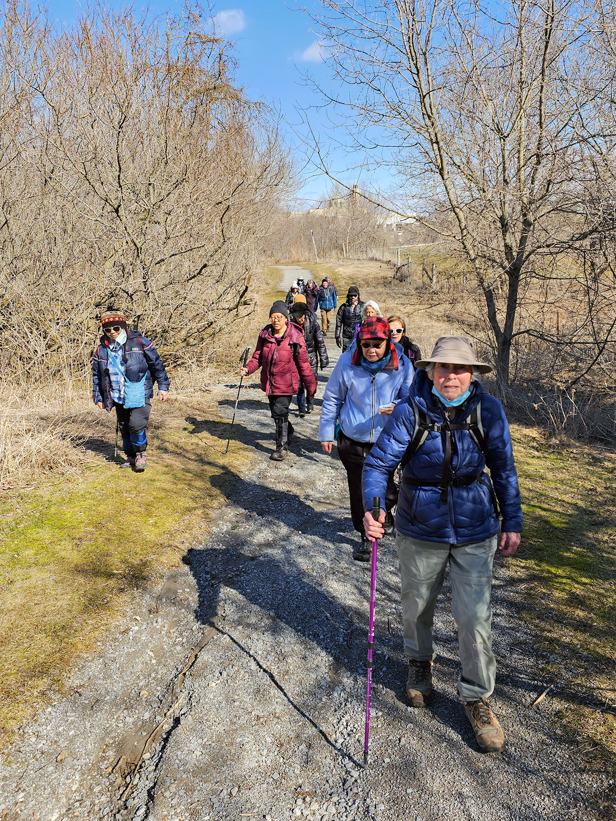
Please join me under the clock in the Great Hall at Union Station by 9:05 am. We will take the eastbound Lakeshore Train departing Union Station GO at 9:20 am, arriving Ajax GO at 10:15 am. You may choose to join the group at Ajax GO Station.We will hike south to Lake Ontario (washrooms in the park), west to Sandy Beach Rd, and north to Bayly St with a pub stop at Irish Times adjacent to Pickering GO. Trains to Toronto depart at 25 minutes and 55 minutes after the hour.
Here is an online map of our route (please click on the link): Ajax to Pickering
You can buy a GO Transit day pass for $10.
Snowshoe Exploring Sydenham Hike #16
https://hikesstaging.brucetrail.org/event/exploring-sydenham-hike-16/Sorry, the registration cut-off time for this hike has been reached.Not a member? Click here to join today!Hosting Club: Sydenham
Category: Snowshoe Hike
Location (Google Maps):Meet in the north-east corner of the parking lot at Home Depot on Highway 26 on the east side of Owen Sound.
Hike Leader(s): Bill Snel Click here to contact Hike Leader(s)
Pace: Leisurely: 3 km/h or less
Terrain: Moderate: Some hills and/or poor footing
Distance: 2 kmDescription
We will carpool to snowshoe the Pines loop hike. This is hike 16 in the book, Exploring Sydenham. There are no secrets to locate. If you do not have a book and would like one ($30) let me know by using the “Contact hike leader” link. - 17March 17, 2025
Blue Loop Hikes #2 - Hockley Valley
https://hikesstaging.brucetrail.org/event/blue-loop-hikes-2-hockley-valley/Sorry, the registration cut-off time for this hike has been reached.Not a member? Click here to join today!Hosting Club: Iroquoia, Caledon Hills
Category: General Hike
Location (Google Maps): Bruce Trail Parking Lot, Hockey Valley RoadHike Leader(s): Pati Greenwood, Jeff Dowsett Click here to contact Hike Leader(s)
Pace: Medium – 3 to 4 km/hr
Terrain: Strenuous – Hilly with steep climbs and some poor footing
Distance: 11 kmDescription
This is a series of loop hikes exploring various BT Blue trails in wintry and early spring conditions. Join us for one, some or all.Today’s hike will follow the main trail and explore Glen Cross, Isabel East and Tom East Side Trails in an 11 km loop.
Bring a snack and plenty of water, and other hydration as needed. Wear hiking boots and bring hiking poles. Icers may also be required.
Please arrive at the meeting place by 8:15 am as we will leave promptly at 8:30 am.
Sweetwater Series - Hike 2 - Island Lake
https://hikesstaging.brucetrail.org/event/sweetwater-series-hike-2-island-lake/Sorry, the registration cut-off time for this hike has been reached.Not a member? Click here to join today!Hosting Club: Caledon Hills
Category: General
Location (Google Maps): P5 – Island Lake Conservation Area – 673173 Hurontario Street, Mono.Hike Leader(s): Jennie Greenfield; Elizabeth Ganong Click here to contact Hike Leader(s)
Pace: Medium – 3 to 4 km/hour
Terrain: Moderate – some hills and/or some poor footing
Distance: 9.5 kmDescription
This series of five hikes celebrates the glorious sugar maple as we move from winter towards spring. The trails are all in or near the Caledon Hills section of the Bruce Trail and range from 7 to 10 km in length.Register individually for one, a few, or all of the Sweetwater Badge Hikes taking place on Mondays. Participants who complete the five hikes will be eligible to receive a Sweetwater badge. (Note: If you wish to purchase a badge, the cost is $10.00 for BTC members and $15.00 for non-members.)
Hike 2 explores the Lakeside, Sugar Bush, and Memorial Forest Trails. Sights include Island Lake, tap lines, a sugar shack, the Stone Wall tree and the Memorial Leaf Wall.
Moderate – difficult under winter conditions.
Bring your choice of hydration and snacks. Hiking boots and icers/crampons are required.
Participants will be notified the night before if a hike must be cancelled due to inclement weather.
- 18March 18, 2025
Urban Walk: Valley View Park Thornhill 84
https://hikesstaging.brucetrail.org/event/urban-walk-valley-view-park-thornhill-64/Sorry, the registration cut-off time for this hike has been reached.Not a member? Click here to join today!Hosting Club: Toronto
Location (Google Maps): Parking lot is inside Sycamore Drive East of Bayview , north of Bayview Reservoir Park Playground
Hike Leader(s): Mohammad Aghamiri Click here to contact Hike Leader(s)
Pace: Moderate (3-4 km/hr)
Terrain: Level 2 (Intermediate – some hills and uneven surfaces, rocks and roots underfoot)
Distance: 7-8 kmDescription
We will explore Valleyview and Maple View parks, and walk along German Mill Creak,In return we stop in Huntington park and have snack under beautiful shed ,Even it is considered Urban walk, but it is urban hike as we have some up and down hills and tree roots, please bring your Ice cleats and hiking poles
9:00 Long Hike Louth Conservation (CHANGE IN LOCATION DUE TO FLOODING)
https://hikesstaging.brucetrail.org/event/900-long-hike-wiley-road-short-hills-50/Sorry, the registration cut-off time for this hike has been reached.Not a member? Click here to join today!Hosting Club: Niagara
Location (Google Maps): Louth Consevation Staff Avenue
Hike Leader(s): Alan Laver Click here to contact Hike Leader(s)
Pace: Medium
Terrain: Moderate
Distance: 10kmDescription
Explore Louth Conservation area. Bring Poles, Icers, snack, and dress for the weather9:15 Short hike, Short Hills Park, Pelham Road
https://hikesstaging.brucetrail.org/event/915-short-hike-short-hills-park-pelham-road/Sorry, the registration cut-off time for this hike has been reached.Not a member? Click here to join today!Hosting Club: Niagara
Category: Loop
Location (Google Maps): Short Hills Provincial Park, Pelham Road entranceHike Leader(s): janet davey Click here to contact Hike Leader(s)
Pace: Medium
Terrain: Moderate
Distance: 6 kmsDescription
Hike the main and side trails in Short Hills Provincial Park. Bring hiking boots and water. Keep a pair of icers in your car in case of icy conditions.Silver Creek - Terra Cotta; Side Trails and Main Trail
https://hikesstaging.brucetrail.org/event/silver-creek-terra-cotta-side-trails-and-main-trail/Sorry, the registration cut-off time for this hike has been reached.Not a member? Click here to join today!Hosting Club: Caledon Hills
Category: Tuesday Hikers
Location (Google Maps): BTC maps 13 and 14. Park on Fallbrook Rd. near the Education Centre unless it is in use. Alternate parking 8th Line north of km 32.3 on eastern shoulder of 8th Line at southern most intersection with 27 Sideroad; unless we can still park on Fallbrook.Hike Leader(s): Doris Harper Click here to contact Hike Leader(s)
Pace: Medium – 3 to 4 km/hour
Terrain: Moderate – some hills and/or some poor footing
Distance: about 10 kmDescription
From the parking area we will hike the Irwin Quarry , Roberts and Walking Fern sidetrails, the main trail into Terra Cotta. We will return the way we came; about a 10 km hike.Phone number 519-589-4114 in case of confusion
Alton Grange
https://hikesstaging.brucetrail.org/event/alton-grange/Sorry, the registration cut-off time for this hike has been reached.Not a member? Click here to join today!Hosting Club: Dufferin Hi-Land
Category: Tuesday Hike
Location (Google Maps): Go to the village of Alton, at the corner of Station Street and Main Street (Rd 136 ), turn down Station Street
(public school at corner), cross railway tracks, road curves , parking lot is on rightHike Leader(s): Inge Eckerich, Les Babbage, Julie Daley, Tony Evangelista Click here to contact Hike Leader(s)
Pace: Leisurely
Terrain: Moderate
Distance: 4 kmDescription
Alton Grange is a 350-acre tract located where Shaw’s Creek and the Credit Credit River flow south and converge. It contains fragile wetlands, areas of natural hardwood and mixed forest, meadows and open flood plain. Snow shoes or icers may be required. - 19March 19, 2025
Bent Rim 1 and 2 (E2E)
https://hikesstaging.brucetrail.org/event/bent-rim-1-and-2-e2e/Sorry, the registration cut-off time for this hike has been reached.Not a member? Click here to join today!Hosting Club: Iroquoia
Category: General Hike
Location (Google Maps): Meet in the parking lot at Hilton Falls Conservation Area. Reservation required.Hike Leader(s): Karen Bergmann Click here to contact Hike Leader(s)
Pace: Medium – 3 to 4 km/hr
Terrain: Moderate – Some hills and/or some poor footing
Distance: 7 kmsDescription
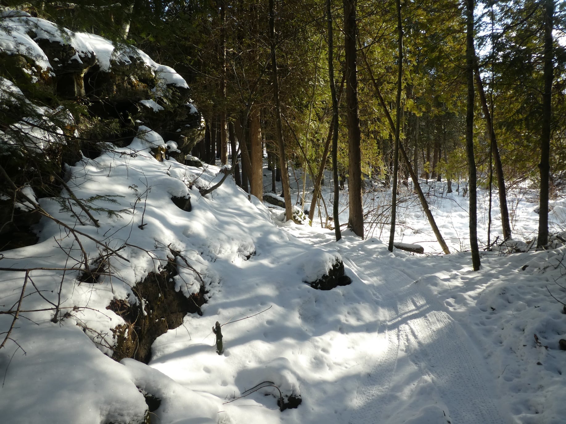
We will meet in the Hilton Falls Parking lot and carpool to 6th Line and hike back along the two Bent Rim trails and the Hilton Falls Side Trail back to the cars. For those leaving their car at Hilton Falls, you will need to reserve your time at conservationhalton.caPlease bring icers for your boots. Hike is dependent on weather conditions.
Good Companions - Rail trail to Trail Centre and back
https://hikesstaging.brucetrail.org/event/good-companions-rail-trail-to-trail-centre-and-back/Sorry, the registration cut-off time for this hike has been reached.Not a member? Click here to join today!Hike open to BTC Members only.
Hosting Club: Iroquoia
Category: Good Companions
Location (Google Maps): Behind Shoppers Drug Mart – University Plaza – Osler Drive – DundasHike Leader(s): Ted Bossence Click here to contact Hike Leader(s)
Pace: Medium – 3 to 4 km/hr
Terrain: Dependent on Conditions, Easy – Mostly flat and usually good footing
Distance: 10 kmDescription
This is a there and back walk on the rail trail. A gentle uphill and downhill. How icy the trail will be is dependent on the weather in the weeks before the hike.Bring icers, water and a snack . Walk will be cancelled in case of poor weather (please check your email the evening before).
Please arrive for 9:45 and we will start walking at 10:00 am sharp! I will email you on the day before the hike with contact information should you need to cancel after 4:00 pm on that day.