
Hike Schedule
Join us for a hike! Registration required.
All hikes available to BTC members. Some hikes are open to non-members.
See Refund Policy for Paid Hikes >
TIP: The calendar view displays up to 7 hikes on a day, but often there are more. Click “View more events” to see them all.
Categories
- 13March 13, 2025
Urban Walk: Valley View Park Thornhill
https://hikesstaging.brucetrail.org/event/urban-walk-valley-view-park-thornhill-63/Sorry, the registration cut-off time for this hike has been reached.Not a member? Click here to join today!Hosting Club: Toronto
Location (Google Maps): Parking lot is inside Sycamore Drive East of Bayview , north of Bayview Reservoir Park Playground
Hike Leader(s): Mohammad Aghamiri Click here to contact Hike Leader(s)
Pace: Moderate (3-4 km/hr)
Terrain: Level 2 (Intermediate – some hills and uneven surfaces, rocks and roots underfoot)
Distance: 7-8 kmDescription
We will explore Valleyview and Maple View parks, and walk along German Mill Creak,In return we stop in Huntington park and have snack under beautiful shed ,Even it is considered Urban walk, but it is urban hike as we have some up and down hills and tree roots, please bring your Ice cleats and hiking poles
9:00 am Long Hike Cave Spring
https://hikesstaging.brucetrail.org/event/900-am-long-hike-cave-spring-6/Sorry, the registration cut-off time for this hike has been reached.Not a member? Click here to join today!Hosting Club: Niagara
Location (Google Maps):
Cave Spring Conservation Area
Pace: Medium
Terrain: Moderate
: 10kDescription
From Cave Spring Conservation Area explore the trail network on the escarpment You must register for each hike. Bring Poles, snack and a drink and dress for the weatherHiking around Jordan
https://hikesstaging.brucetrail.org/event/hiking-around-jordan-26/Sorry, the registration cut-off time for this hike has been reached.Not a member? Click here to join today!Hosting Club: Niagara
Location (Google Maps): Shoarishon Park (formerly known as Jordan Hollow)
Note: Due to construction at Shoarishon Park, Boo’s Restaurant across the street is allowing us to use their premises to park
Hike Leader(s): Bill Russell Click here to contact Hike Leader(s)
Pace: Medium
Terrain: Moderate
Distance: 6 – 7 kmDescription
Hike various trails in and around Jordan (Balls Falls, Jim Rainforth Trail, Bailey’s Bridge and through the village of Jordan
Welland Canal Series: Hikes #2 Woodend to Museum return and #3 Sobey's to Richard Pierpoint Park return
https://hikesstaging.brucetrail.org/event/welland-canal-series-hikes-2-woodend-to-museum-return-and-3-sobeys-to-richard-pierpoint-park-return/Sorry, the registration cut-off time for this hike has been reached.Not a member? Click here to join today!Hosting Club: Niagara, Sydenham
Category: Historical Hike
Location (Google Maps):Woodend Conservation, Taylor Rd. 43.143377, -79.167212
Hike Leader(s): Karen Buschert Click here to contact Hike Leader(s)
Pace: Medium: 3 to 4 km/h
Terrain: Easy: Mostly flat and good footing., There might be muddy sections.
Distance: 8.5 km for first hike, 9 km for second hikeDescription
Day 2: Woodend to Museum and back (8.5 km return), then drive to Sobeys off Glendale Ave and walk along Canal 2 to Richard Pierpoint Park and back (9 km return).The first hike will take you past both the Third and the Present Welland Canal. We will also visit the Welland Canal Museum for a more complete picture of the history of the canal system. This is Hike #2 of the Welland Canal Badge.
The second hike will take you along parts of the Merritt Trail where the first Welland Canal followed. Unfortunately, there is little left of the first canal but many sections of the Second Welland Canal are quite visible here because it followed much the same route as the first one. This is Hike #3 of the Welland Canal Badge.
Mono Cliffs - Bottom loops
https://hikesstaging.brucetrail.org/event/mono-cliffs-bottom-loops/Sorry, the registration cut-off time for this hike has been reached.Not a member? Click here to join today!Hosting Club: Iroquoia
Category: General Hike
Location (Google Maps): Meet in the parking lot in the village of Mono Centre on Mono Centre Rd.Hike Leader(s): Karen Bergmann Click here to contact Hike Leader(s)
Pace: Medium – 3 to 4 km/hr
Terrain: Moderate – Some hills and/or some poor footing
Distance: 9 kmsDescription
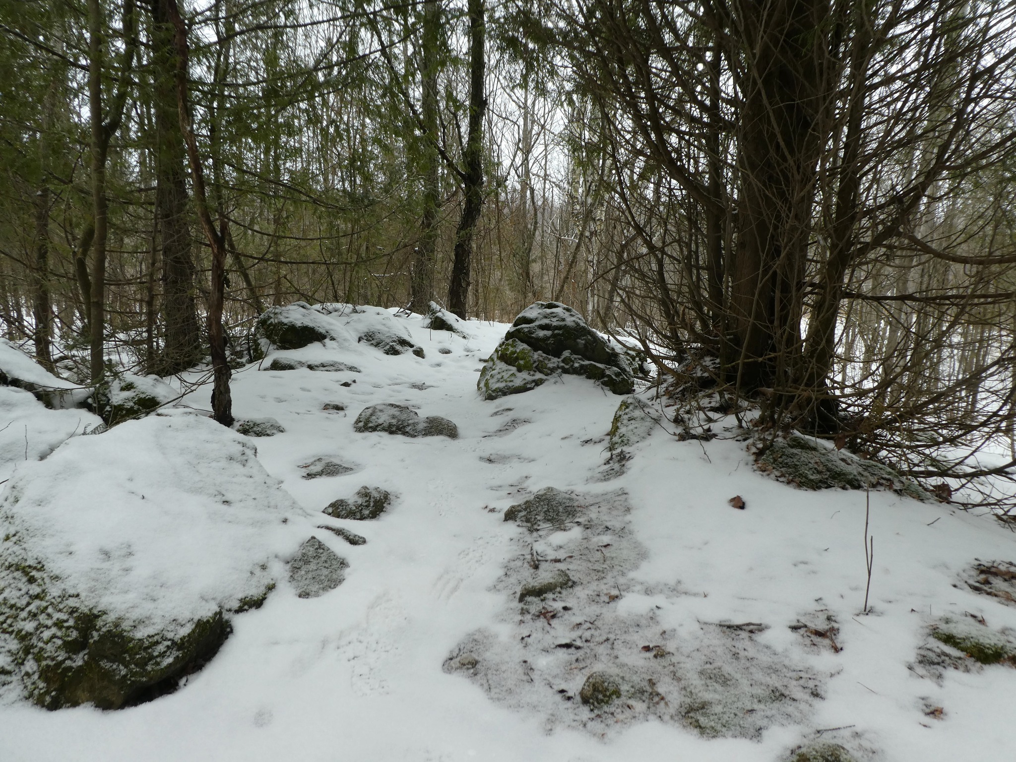
We will hike the bottom three loops of Mono Cliffs Provincial Park and end along the Laidlaw Side Trail to the parking lot. These trails are fairly easy, with some rocks and roots and a few hills. Bring icers for your boots. Hike is dependent on weather conditions.Waxing Gibbous Moon Hike
https://hikesstaging.brucetrail.org/event/waxing-gibbous-moon-hike/Sorry, the registration cut-off time for this hike has been reached.Not a member? Click here to join today!Hosting Club: Caledon Hills
Category: General
Location (Google Maps): Riverwood Conservancy Parking, upper parking lot at Riverwood.
From Burnhamthorpe Road in Mississauga, turn north on Riverwood Park Ln, in about 200 meters parking lot on the left.Hike Leader(s): Mohammad Shafiq Click here to contact Hike Leader(s)
Pace: Medium – 3 to 4 km/hour
Terrain: Easy – mostly flat and usually good footing
Distance: 8 kmDescription
This is an evening hike, opportunity to hike under full moon, will start from Riverwood Conservancy to Erindale Park and return after sunset. Trails are flat, easy to walk and best way to spend an evening while watching nature along Credit River, mainly on Culham trail.
Dress accordingly to weather, in layers
Bring a hydration drink and snack
Icers are required
Bring a flashlight or head lamp, if you have one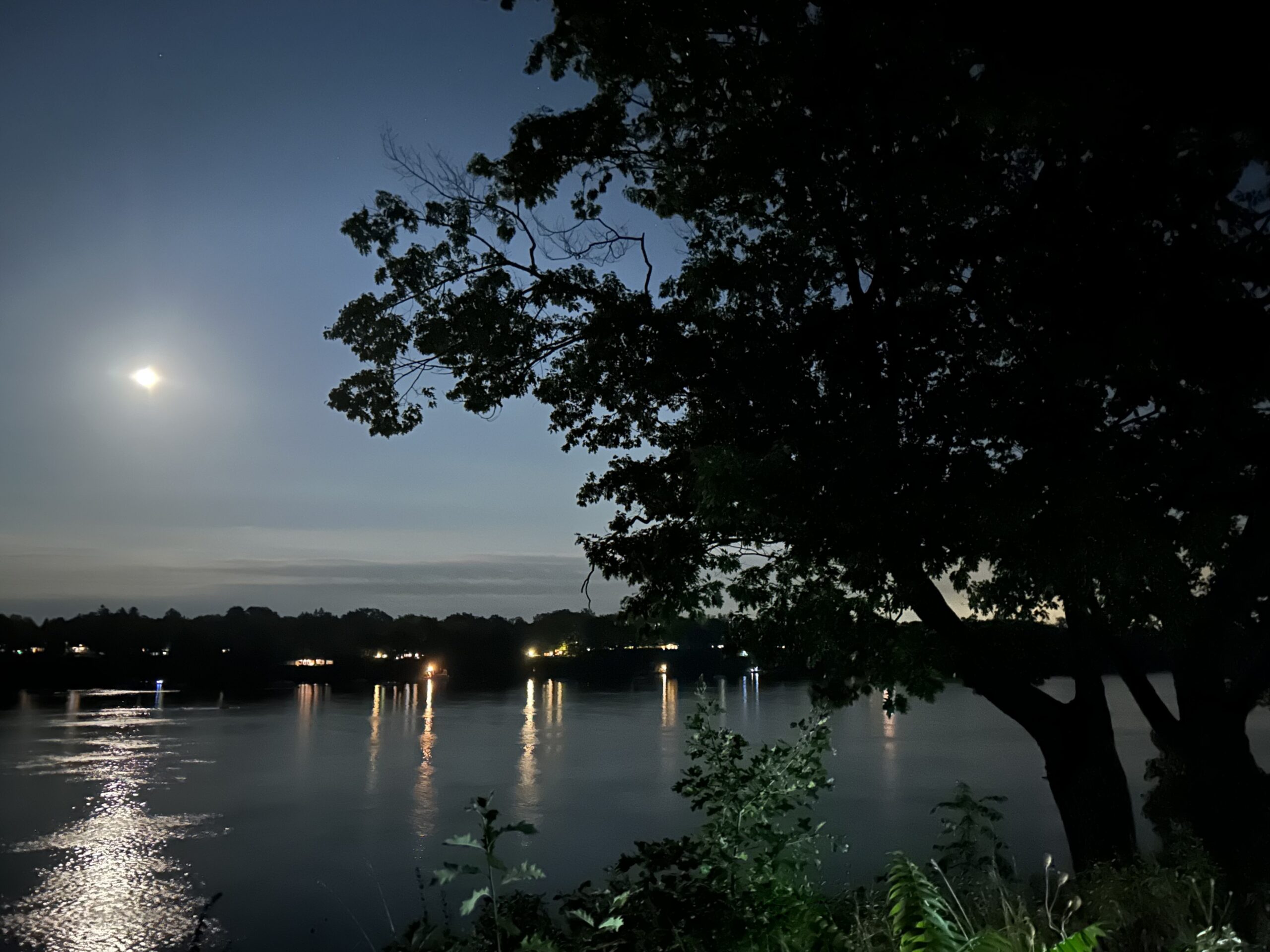
7:00 pm Moonlight Night Hike in Niagara-on-the-Lake
https://hikesstaging.brucetrail.org/event/700-pm-moonlight-night-hike-in-niagara-on-the-lake-10/Sorry, the registration cut-off time for this hike has been reached.Not a member? Click here to join today!Hosting Club: Niagara
Category: Night
Location (Google Maps):Veteran’s Memorial Park, park just outside the park on King St.
Hike Leader(s): Robin Garrett Click here to contact Hike Leader(s)
Pace: Medium
Terrain: Easy
Distance: 6-7 kmDescription
Moonlight Night Hike – Take in the magic of the rising moon over Lake Ontario and the Niagara River. This hike includes a stop to connect with your senses – sights, sounds, smells and the rhythm of your breath. Counts towards your night hike badge (5 night hikes).