
Hike Schedule
Join us for a hike! Registration required.
All hikes available to BTC members. Some hikes are open to non-members.
See Refund Policy for Paid Hikes >
TIP: The calendar view displays up to 7 hikes on a day, but often there are more. Click “View more events” to see them all.
Categories
- 11March 11, 2025
Caledon Double End to End Challenge and Fundraiser
https://hikesstaging.brucetrail.org/event/caledon-double-end-to-end-challenge-and-fundraiser/Sorry, the registration cut-off time for this hike has been reached.Not a member? Click here to join today!Hike open to BTC Members only.
This is a Multi-Day Hike
You are signing up for the following dates:
2025-03-11, 2025-03-12, 2025-03-13, 2025-03-18, 2025-03-19, 2025-03-20Hosting Club: Caledon Hills, Sydenham
Category: Fundraiser
Location (Google Maps): First Hike Only: Roadside parking at the north end of Chinguacousy RdHike Leader(s): Margaret O’Dell Click here to contact Hike Leader(s)
Pace: Brisk: 4 to 5 km/h, Fast: more than 5 km/h
Terrain: Strenuous: Hilly with steep climbs and some poor footing.Description
Join me on this fundraising series to complete two End to Ends of Caledon in March earning both the new Caledon Stained Glass badge and the Redside Dace E2E badge. The cost of both badges is included in your registration fee.Over 6 scheduled hikes, we will hike out and back to complete two End to Ends of the Caledon Hills Bruce Trail section from Cheltenham Badlands to Mono Centre.
A detailed schedule with meeting locations will be sent prior to the start of the series.
There is no car shuttle. We will meet at a convenient location between the start and finish points.
This is a challenger series. Hikes will average 24 km in distance and we will be hiking at a brisk to fast pace, depending on the conditions of the trail. Be sure of your ability prior to joining this series. There are no Refunds!
If there is a risk of inclement weather affecting road conditions, the hike leader will reschedule the hike. Make-up dates will be discussed with registrants.
If you have any questions or concerns about this series, please contact me using the Contact form.
Caledon Hills Fandango Pentango (9 hikes, 5 badges)
https://hikesstaging.brucetrail.org/event/caledon-hills-fandango-pentango-9-hikes-5-badges/Sorry, the registration cut-off time for this hike has been reached.Not a member? Click here to join today!Hike open to BTC Members only.
This is a Multi-Day Hike
You are signing up for the following dates and times:
2025-03-11 at 08:15
2025-03-12 at 08:15
2025-03-13 at 08:15
2025-03-18 at 08:15
2025-03-19 at 08:15
2025-03-25 at 08:15
2025-03-26 at 08:15
2025-04-01 at 08:15
2025-04-02 at 08:15Hosting Club: Caledon Hills
Category: End-to-End
Location (Google Maps): Mono Community Centre (County Rd. 8)Hike Leader(s): Heather Murch Click here to contact Hike Leader(s)
Pace: Brisk – 4 to 5 km/hour
Terrain: Strenuous – hilly with steep climbs and some poor footing
Distance: 21.1 kmDescription
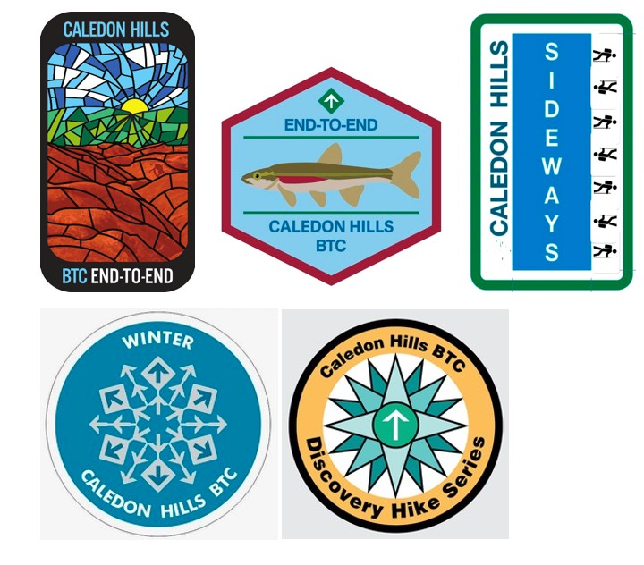
It’s been 5 years since the Quadrango Fandango and so it seems fitting the hike series be renamed to celebrate those 5 years! There will be 5 badges awarded to those who complete 9 hikes over 4 weeks; mostly on Tuesday/Wednesday.March 11/12/13, 18/19/25/26 and April 1 & 2 with the 3rd held in reserve should we need to cancel a hike due to inclement weather.
The hikes are no more than 22 km.
The registration fee includes 5 badges.
Exciting new badges:
1. Badlands Stained Glass series (fundraiser E2E) $30
2. Redside Dace, a little at-risk fish (independent E2E) $10
3. Sideways (40 km of side trails) $10
We will also meet the requirements for:
4. Frosty-Five badge (5 hikes by Mar 20) $10
5. Discovery badge (learn along the way!) $10Participants must be BTC members and pay for all badges ($70) when registering; as a fundraiser for the Caledon Hills Club of the BTC. The badges will be awarded on the final hike of the series.
There will be no shuttling; all hikes are in & out so you can make up a hike on your own if needed. Carpooling is encouraged to minimize parking requirements. We’ll start in the north at the Mono Community Centre. The hikes range from 17.9 to 21.6 km. I’ll send out the full itinerary a few days before we start.
Expect winter conditions – icers are required and snow shoes are recommended. You’ll need layered clothing, boots & poles and a raincoat. Bring lots of water, a snack and lunch. You’ll want to arrive by 8:00 am as the hikes start at 8:15 sharp.
Also expect to have fun! We will be challenged by Caledon Hills in the winter and we will also do some learning along the way. I’m looking forward to this adventure!
Urban Walk: Valley View Park Thornhill
https://hikesstaging.brucetrail.org/event/urban-walk-valley-view-park-thornhill-62/Sorry, the registration cut-off time for this hike has been reached.Not a member? Click here to join today!Hosting Club: Toronto
Location (Google Maps): Parking lot is inside Sycamore Drive East of Bayview , north of Bayview Reservoir Park Playground
Hike Leader(s): Mohammad Aghamiri Click here to contact Hike Leader(s)
Pace: Moderate (3-4 km/hr)
Terrain: Level 2 (Intermediate – some hills and uneven surfaces, rocks and roots underfoot)
Distance: 7-8 kmDescription
We will explore Valleyview and Maple View parks, and walk along German Mill Creak,In return we stop in Huntington park and have snack under beautiful shed ,Even it is considered Urban walk, but it is urban hike as we have some up and down hills and tree roots, please bring your Ice cleats and hiking poles
9:00 Long Hike Louth CHANGE OF LOCATION
https://hikesstaging.brucetrail.org/event/900-long-hike-wiley-road-short-hills-49/Sorry, the registration cut-off time for this hike has been reached.Not a member? Click here to join today!Hosting Club: Niagara
Location (Google Maps): Staff Avenue Jordan
Hike Leader(s): Alan Laver Click here to contact Hike Leader(s)
Pace: Medium
Terrain: Moderate
Distance: 10kmDescription
Change of Location due to flooding at ShorthillsBring Poles, Icers, snack, and dress for the weather
9:15 Short Hike, Rotary Park
https://hikesstaging.brucetrail.org/event/915-short-hike-short-hills/Sorry, the registration cut-off time for this hike has been reached.Not a member? Click here to join today!Hosting Club: Niagara
Category: In and Out
Location (Google Maps): 376 Regional Road 69 (Pelham Road), St. Catharines L2S OA2Hike Leader(s): Sheila Massey Click here to contact Hike Leader(s)
Pace: Medium
Terrain: Moderate
Distance: 6 kmDescription
Hike the main and side trails in Short Hills Provincial Park. Wear hiking boots and bring water. In the event of icy conditions, it is highly recommended to wear icers.City View Park to Waterdown
https://hikesstaging.brucetrail.org/event/city-view-park-to-waterdown/Sorry, the registration cut-off time for this hike has been reached.Not a member? Click here to join today!Hosting Club: Caledon Hills
Category: Tuesday Hikers
Location (Google Maps): Meet at City View Park in Burlington. BTC Map 9. From QEW come north on Brant St., then left at Dundas. Then left at Kerns Rd. Enter City View Park at the second entrance on Kerns Rd. south of Dundas St.Hike Leader(s): Peter Leeney Click here to contact Hike Leader(s)
Pace: Medium – 3 to 4 km/hour
Terrain: Moderate – some hills and/or some poor footing
Distance: 10 kmDescription
From City View Park we will hike west to Waterdown, return by the same route.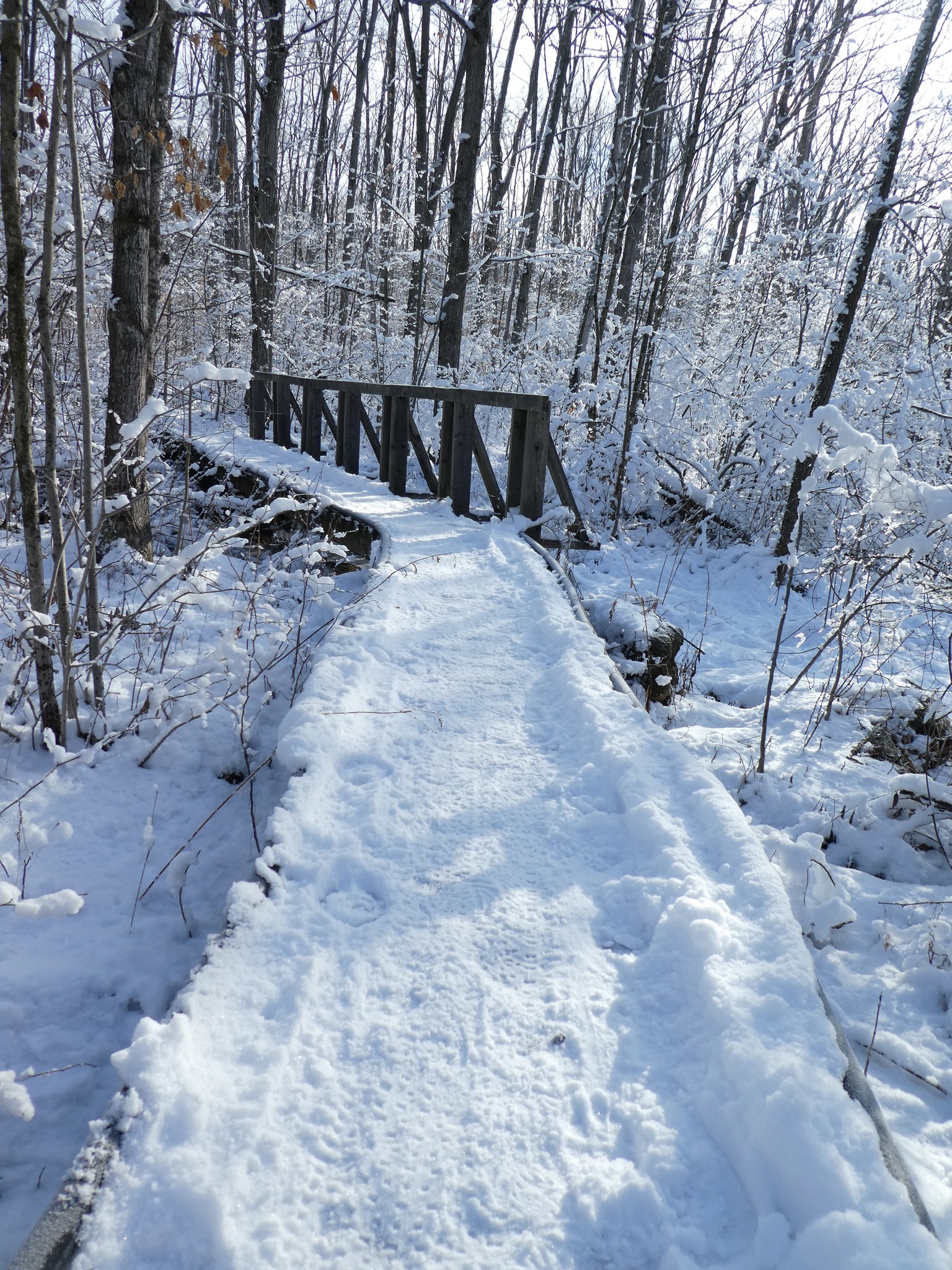
Halton Agreement Forest
https://hikesstaging.brucetrail.org/event/halton-agreement-forest-10/Sorry, the registration cut-off time for this hike has been reached.Not a member? Click here to join today!Hosting Club: Iroquoia
Category: General Hike
Location (Google Maps): Meet at the corner of 10 Side Road and 4th Line at 9:15 am.Hike Leader(s): Karen Bergmann Click here to contact Hike Leader(s)
Pace: Medium – 3 to 4 km/hr
Terrain: Moderate – Some hills and/or some poor footing
Distance: 8 kmsDescription
We will hike the bike trails around a big loop. Bring icers. Hike is dependent on weather.Scotsdale Farm
https://hikesstaging.brucetrail.org/event/scotsdale-farm-2/Sorry, the registration cut-off time for this hike has been reached.Not a member? Click here to join today!Hosting Club: Dufferin Hi-Land
Category: Tuesday Hike
Location (Google Maps): (Google Maps) Toronto Section, Map 13. Meet at the Scotsdale Farm parking lot, northeast of Trafalgar Rd, about 1 km north of 27 Sideroad.Hike Leader(s): Tony Evangelista, Inge Eskerich, Julie Daley, Les Babbage Click here to contact Hike Leader(s)
Pace: Medium
Terrain: Moderate, Slippery Sections Likely
Distance: 9.3 km or 4.2 kmDescription
We will hike the Main, Bennett Heritage, and Maureen Smith Side Trails loop. The shorter hike will loop back on the Maureen Smith and Main Trail at Eighth Line.Bring water and snacks. Icers or snowshoes may be required. Hiking poles are recommended.
Optional coffee/lunch stop after the hike–Main Street Market in Glen Williams
- 12March 12, 2025
10:00 Merrit island loop
https://hikesstaging.brucetrail.org/event/1000-merrit-island-loop-3/Sorry, the registration cut-off time for this hike has been reached.Not a member? Click here to join today!Hosting Club: Niagara
Category: Loop
Location (Google Maps): meritt island parkHike Leader(s): Sylvia Wheeler Click here to contact Hike Leader(s)
Pace: Medium
Terrain: Easy
Distance: 7kDescription
Hike along the Welland canal looping back on the opposite side. Please Park right in the Park and not at library.Winter Wednesday Walkers - Hogg's Falls Side & Main Trails
https://hikesstaging.brucetrail.org/event/winter-wednesday-walkers-hoggs-falls-side-main-trails-2/Sorry, the registration cut-off time for this hike has been reached.Not a member? Click here to join today!Hosting Club: Beaver Valley
Location (Google Maps): Meet in the Hogg’s Falls parking lot, km 65.2, Map 26, Edition 31. If the parking lot is not plowed we will park on the shoulder of the road.
Hike Leader(s): Glenda Collings Click here to contact the hike leader.
Pace: Medium
Terrain: Moderate, Some steep sections
Length of Hike: Approx. 6 kmDescription
We will hike both the Uplands Meadow and Upper Beaver Valley Side Trails plus sections of the main trail and view Hogg’s Falls in its winter glory. On winter hikes we may encounter bare ground, light snow, deep snow, or ice. Please bring snowshoes and icers to our Winter Wednesday Walkers outings. Wear appropriate clothing for the weather plus water and a snack.COVID-19 Precautions Before, During and After your Hike
- Each hiker joining a Bruce Trail Club organized hike must perform a self-screening check before hiking.
Find Ontario’s self-assessment tool here: https://covid-19.ontario.ca/self-assessment/ - If you are experiencing COVID-19 symptoms, stay home.
Other Guidelines
- Arrive 15 minutes before the start of the hike.
- Wear sturdy footwear and appropriate attire for the weather and the terrain.
Hiking poles are a good idea in any season, especially if the terrain is rocky or slippery. In winter, snowshoes or icers/crampons are needed when conditions dictate.
Wearing appropriate clothing and footwear prevents injuries and shows consideration for a safe and positive group hiking experience. - Always carry I.D. and your health card.
- Bring sufficient water and snacks (or lunch if indicated). A minimum of 1L of water is recommended on all hikes, and 3L is recommended for long, challenging hikes in the heat of the summer.
- Bring sunscreen and insect repellent (for spring and summer hikes).
- Bring your own first aid kit.
- Please leave dogs at home.
Dundas Valley West
https://hikesstaging.brucetrail.org/event/dundas-valley-west/Sorry, the registration cut-off time for this hike has been reached.Not a member? Click here to join today!Hosting Club: Iroquoia
Category: Good Companions
Location (Google Maps): Western Dundas ValleyHike Leader(s): Anne Armstrong Click here to contact Hike Leader(s)
Pace: Leisurely – 3km/hr or less
Terrain: Easy – Mostly flat and usually good footing, Moderate – Some hills and/or some poor footing
Distance: Approx. 8 – 9 km.Description
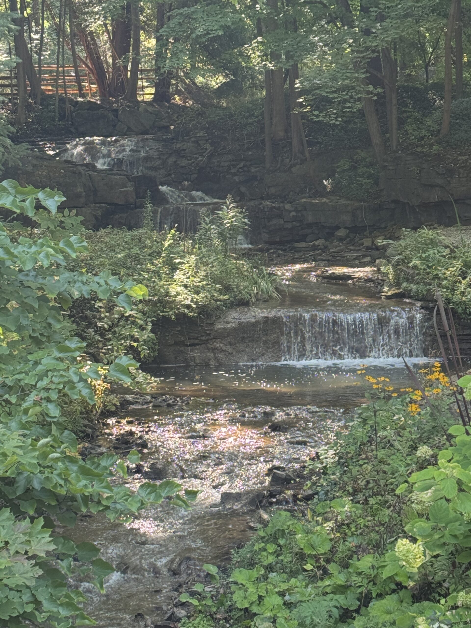
Please join this hike for lovely views in the western end of Dundas Valley including some lovely waterfalls. Please meet in the parking lot of the baseball playing fields, across from Lion’s Club Swimming Pool, 263 Jerseyville Rd. W in Ancaster. Meet at 9:45 for a 10:00 am. start. Bring water, a snack, icers and poles if using.
Winter Badge Wednesdays: Riverside Woods Nature Reserve
https://hikesstaging.brucetrail.org/event/winter-badge-wednesdays-riverside-woods-nature-reserve-2/Sorry, the registration cut-off time for this hike has been reached.Not a member? Click here to join today!Hike open to BTC Members only.
Hosting Club: Caledon Hills
Category: General
Location (Google Maps): Meet at 10 am at the BTC parking lot, 713377 1st Line EHS, Mono. Go north on 1st Line from Side Road 5. Access is closed going south on 1st Line from Hockley Road during the winter. It is best to aim for arriving around 9:45, so we can start hiking as close to 10 am as possible. Thanks!Hike Leader(s): Elizabeth Ganong Click here to contact Hike Leader(s)
Pace: Medium – 3 to 4 km/hour
Terrain: Easy – mostly flat and usually good footing, Moderate – some hills and/or some poor footing
Distance: Between 4 and 5 kmDescription
Update on trail conditions: As of March 8th, the trails remain snow-covered at Riverside Woods. Half of the Saturday Shorts hikers snowshoed the route. You may wish to bring your snowshoes along on Wednesday!Looking to get outside and enjoy nature in another season? You may wish to join in on one Wednesday hike in this winter series or all five! Complete all five as part of the series or do a combination of hikes within the series and your own winter hikes, and you will be eligible to receive the Caledon Winter Hiking Badge (further details below and on the CHBTC website under Club Badges).
This Wednesday’s hike explores Riverside Woods on side trails and gentler nature reserve trails on a 4 or 5 km route. Be prepared for winter conditions by bringing warm gear, poles, and icers. You are encouraged to bring water and a snack. No dogs please.
The hike leader for this hike is Elizabeth Ganong. Registrants can expect a reminder/update message one or two days before the hike.
If desired, this hike may be used towards the Caledon Winter Hiking Badge (5 winter hikes in the Caledon section that are 1 ½ hours or longer in length). Please keep a log of your hikes and follow the directions on the CHBTC website under Club Badges to receive your badge.
- Each hiker joining a Bruce Trail Club organized hike must perform a self-screening check before hiking.
- 13March 13, 2025
Urban Walk: Valley View Park Thornhill
https://hikesstaging.brucetrail.org/event/urban-walk-valley-view-park-thornhill-63/Sorry, the registration cut-off time for this hike has been reached.Not a member? Click here to join today!Hosting Club: Toronto
Location (Google Maps): Parking lot is inside Sycamore Drive East of Bayview , north of Bayview Reservoir Park Playground
Hike Leader(s): Mohammad Aghamiri Click here to contact Hike Leader(s)
Pace: Moderate (3-4 km/hr)
Terrain: Level 2 (Intermediate – some hills and uneven surfaces, rocks and roots underfoot)
Distance: 7-8 kmDescription
We will explore Valleyview and Maple View parks, and walk along German Mill Creak,In return we stop in Huntington park and have snack under beautiful shed ,Even it is considered Urban walk, but it is urban hike as we have some up and down hills and tree roots, please bring your Ice cleats and hiking poles
9:00 am Long Hike Cave Spring
https://hikesstaging.brucetrail.org/event/900-am-long-hike-cave-spring-6/Sorry, the registration cut-off time for this hike has been reached.Not a member? Click here to join today!Hosting Club: Niagara
Location (Google Maps):
Cave Spring Conservation Area
Pace: Medium
Terrain: Moderate
: 10kDescription
From Cave Spring Conservation Area explore the trail network on the escarpment You must register for each hike. Bring Poles, snack and a drink and dress for the weatherHiking around Jordan
https://hikesstaging.brucetrail.org/event/hiking-around-jordan-26/Sorry, the registration cut-off time for this hike has been reached.Not a member? Click here to join today!Hosting Club: Niagara
Location (Google Maps): Shoarishon Park (formerly known as Jordan Hollow)
Note: Due to construction at Shoarishon Park, Boo’s Restaurant across the street is allowing us to use their premises to park
Hike Leader(s): Bill Russell Click here to contact Hike Leader(s)
Pace: Medium
Terrain: Moderate
Distance: 6 – 7 kmDescription
Hike various trails in and around Jordan (Balls Falls, Jim Rainforth Trail, Bailey’s Bridge and through the village of Jordan
Welland Canal Series: Hikes #2 Woodend to Museum return and #3 Sobey's to Richard Pierpoint Park return
https://hikesstaging.brucetrail.org/event/welland-canal-series-hikes-2-woodend-to-museum-return-and-3-sobeys-to-richard-pierpoint-park-return/Sorry, the registration cut-off time for this hike has been reached.Not a member? Click here to join today!Hosting Club: Niagara, Sydenham
Category: Historical Hike
Location (Google Maps):Woodend Conservation, Taylor Rd. 43.143377, -79.167212
Hike Leader(s): Karen Buschert Click here to contact Hike Leader(s)
Pace: Medium: 3 to 4 km/h
Terrain: Easy: Mostly flat and good footing., There might be muddy sections.
Distance: 8.5 km for first hike, 9 km for second hikeDescription
Day 2: Woodend to Museum and back (8.5 km return), then drive to Sobeys off Glendale Ave and walk along Canal 2 to Richard Pierpoint Park and back (9 km return).The first hike will take you past both the Third and the Present Welland Canal. We will also visit the Welland Canal Museum for a more complete picture of the history of the canal system. This is Hike #2 of the Welland Canal Badge.
The second hike will take you along parts of the Merritt Trail where the first Welland Canal followed. Unfortunately, there is little left of the first canal but many sections of the Second Welland Canal are quite visible here because it followed much the same route as the first one. This is Hike #3 of the Welland Canal Badge.
Mono Cliffs - Bottom loops
https://hikesstaging.brucetrail.org/event/mono-cliffs-bottom-loops/Sorry, the registration cut-off time for this hike has been reached.Not a member? Click here to join today!Hosting Club: Iroquoia
Category: General Hike
Location (Google Maps): Meet in the parking lot in the village of Mono Centre on Mono Centre Rd.Hike Leader(s): Karen Bergmann Click here to contact Hike Leader(s)
Pace: Medium – 3 to 4 km/hr
Terrain: Moderate – Some hills and/or some poor footing
Distance: 9 kmsDescription
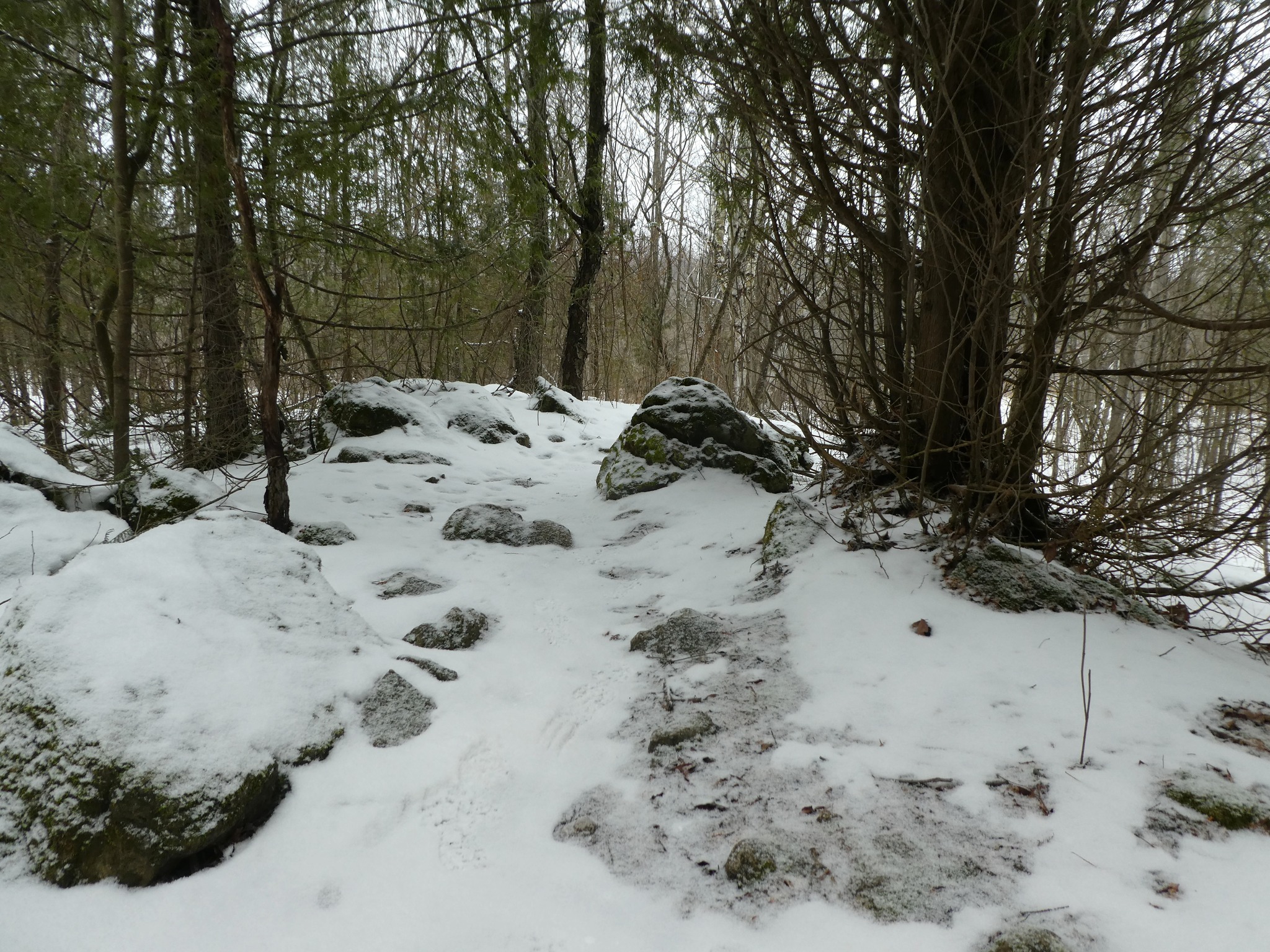
We will hike the bottom three loops of Mono Cliffs Provincial Park and end along the Laidlaw Side Trail to the parking lot. These trails are fairly easy, with some rocks and roots and a few hills. Bring icers for your boots. Hike is dependent on weather conditions.Waxing Gibbous Moon Hike
https://hikesstaging.brucetrail.org/event/waxing-gibbous-moon-hike/Sorry, the registration cut-off time for this hike has been reached.Not a member? Click here to join today!Hosting Club: Caledon Hills
Category: General
Location (Google Maps): Riverwood Conservancy Parking, upper parking lot at Riverwood.
From Burnhamthorpe Road in Mississauga, turn north on Riverwood Park Ln, in about 200 meters parking lot on the left.Hike Leader(s): Mohammad Shafiq Click here to contact Hike Leader(s)
Pace: Medium – 3 to 4 km/hour
Terrain: Easy – mostly flat and usually good footing
Distance: 8 kmDescription
This is an evening hike, opportunity to hike under full moon, will start from Riverwood Conservancy to Erindale Park and return after sunset. Trails are flat, easy to walk and best way to spend an evening while watching nature along Credit River, mainly on Culham trail.
Dress accordingly to weather, in layers
Bring a hydration drink and snack
Icers are required
Bring a flashlight or head lamp, if you have one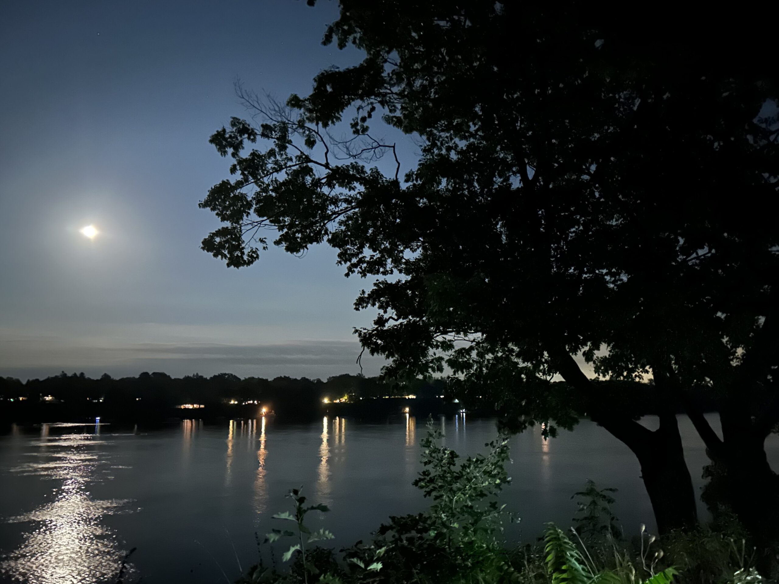
7:00 pm Moonlight Night Hike in Niagara-on-the-Lake
https://hikesstaging.brucetrail.org/event/700-pm-moonlight-night-hike-in-niagara-on-the-lake-10/Sorry, the registration cut-off time for this hike has been reached.Not a member? Click here to join today!Hosting Club: Niagara
Category: Night
Location (Google Maps):Veteran’s Memorial Park, park just outside the park on King St.
Hike Leader(s): Robin Garrett Click here to contact Hike Leader(s)
Pace: Medium
Terrain: Easy
Distance: 6-7 kmDescription
Moonlight Night Hike – Take in the magic of the rising moon over Lake Ontario and the Niagara River. This hike includes a stop to connect with your senses – sights, sounds, smells and the rhythm of your breath. Counts towards your night hike badge (5 night hikes). - 14March 14, 2025
9:00 am Niagara-on-the-Lake Tour
https://hikesstaging.brucetrail.org/event/900-am-niagara-on-the-lake-tour-34/Sorry, the registration cut-off time for this hike has been reached.Not a member? Click here to join today!Hosting Club: Niagara
Category: Urban
Location (Google Maps):Veterans Memorial Park, park just outside the park on King Street
Hike Leader(s): Robin Garrett Click here to contact Hike Leader(s)
Pace: Medium
Terrain: Easy
Distance: 6-7 kmDescription
Each Friday we will explore different neighbourhoods, trails and parkland throughout Historic Niagara-on-the-Lake.Moderate pace with some weeks entirely on sidewalks and roads while others may include a mix of trails and paved pathways. Great way to build up endurance for longer more strenuous hikes.
Prepare for cooler windy conditions on open parkland and along Lake Ontario and Niagara River trails.
Plan to stay for conversation and a warm cup of coffee or tea at Sweets & Swirls, Community Centre, Niagara Stone Road, NOTL
Moonlit Hike Series - Part 6 of 6 An evening hike along Ginebek Miikaans – the Snake Trail Boardwalk
https://hikesstaging.brucetrail.org/event/moonlit-hike-series-part-6-of-6/Sorry, the registration cut-off time for this hike has been reached.Not a member? Click here to join today!Hosting Club: Peninsula
Category: Moonlit Hike Series
Location (Google Maps): Neyaashiinigmiing (Cape Crocker Park)Hike Leader(s): Caley Doran and Bill Floyd Click here to contact Hike Leader(s)
Pace: Leisurely (2.0 – 3.0 km/h): A relaxed pace with frequent breaks and a focus on enjoyment.
Terrain: Easy: Flat forested sections or lowland trails.
Distance: 2 kmDescription
🌕 Full Moon Hike Series: Part 6 of 6 (Last Winter Full Moon Hike)🌕This Full moon is known as “Worm Moon” or “Snowcrust Moon”
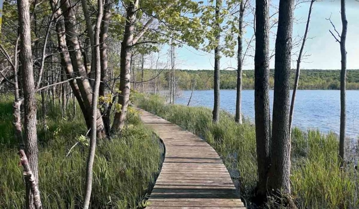
Join us for a captivating evening hike along Ginebek Miikaans – the Snake Trail Boardwalk on the sacred land of the Chippewas of Nawash.
Date: Friday, March 14th
Time: 7:00 pmMoonrise: 8:07 pm
Sunset: 7:29 pm
Hike length: 2 km
Duration: 2 hours
Location: Neyaashiinigmiing, Cape Croker Park, 112 Park Road, Wiarton.
Where to Meet: Cape Croker Park Beach Parking Area
Your Anishinaabe guide Caley Doran will introduce us to the natural and cultural wonders found along Ginebek Miikaans – the Snake Trail Boardwalk. Miikaans is part of the Bruce Trail that is located along the shoreline of Wiikwedoonse (Sydney Bay) in the unceded Anishinaabek territory of Neyaashiinigmiing. This trail winds through mixed forest, to the edges of an active beaver dam and lodge, and along the shoreline of Sydney Bay. During this exploration you will learn about the traditional plants and wildlife that play a pivotal role in the traditional and contemporary lives of the Anishinaabek people. There are two very nice lookouts to take in the natural beauty of Sydney Bay and a beaver pond.
You can learn more about the traditional Anishinaabek teachings from time immemorial. Visit the Cape Croker Park website for more information on their Anishinaabe Cultural Experiences.
What to bring:
- Illuminate the path with a red light headlamp (if you don’t have one that’s ok).
- Sturdy boots
- Appropriate clothing for the weather conditions (layers are great)
- Something to sit on, snack, water or hot beverage
Don’t miss this opportunity to connect with nature and enjoy the night sky! We hope for clear skies to make the evening even more special.

Full Moon - Blood Moon hike
https://hikesstaging.brucetrail.org/event/full-moon-blood-moon-hike/Sorry, the registration cut-off time for this hike has been reached.Not a member? Click here to join today!Hosting Club: Iroquoia
Category: Moonlight Hikes
Location (Google Maps): Dundas Valley entrance Near headwater trail, behind Morgan Firestone Arena. Go to Martin Road to the furthest parking lot across from the baseball field.Hike Leader(s): Madeline Grady Click here to contact Hike Leader(s)
Terrain: Moderate – Some hills and/or some poor footing
Distance: ~7 kmDescription
March’s full moon has many names. Blood moon. Snow crust moon. The Snow crust because the days are warner but the nights are still cold. Be prepared for some icy conditions, hiking boots, poles and icers are recommended. Dress in layers, it may be cooler at the end of our hike. Bring water and maybe a snack.