
Hike Schedule
Join us for a hike! Registration required.
All hikes available to BTC members. Some hikes are open to non-members.
See Refund Policy for Paid Hikes >
TIP: The calendar view displays up to 7 hikes on a day, but often there are more. Click “View more events” to see them all.
Categories
- 25February 25, 2025
Car Hike: Niagara E2E 4/4
https://hikesstaging.brucetrail.org/event/car-hike-niagara-e2e-4-4/Sorry, the registration cut-off time for this hike has been reached.Not a member? Click here to join today!Hike open to BTC Members only.
Hosting Club: Toronto
Category: Car Hike
Location (Google Maps): Km 0.0, Queenston HeightsPark. Coordinates N 43.157826,W 79.052045 map 1. No winter maintenance. We may need to park at the restaurant up the road. Paying fees may apply.Hike Leader(s): Smadar Junkin Click here to contact Hike Leader(s)
Pace: Brisk (4-5 km/hr)
Terrain: Hilly, Variable
Distance: 18.5 km.Description
Last day of the series. Badge day, treats day. Please see details on hike 1 February 22. We will shuttle to km 18.5 and hike back. Be there at 8:15 so we are in the cars and ready to go by 8:30.Urban Walk: Valley View Park Thornhill
https://hikesstaging.brucetrail.org/event/urban-walk-valley-view-park-thornhill-58/Sorry, the registration cut-off time for this hike has been reached.Not a member? Click here to join today!Hosting Club: Toronto
Location (Google Maps): Parking lot is inside Sycamore Drive East of Bayview , north of Bayview Reservoir Park Playground
Hike Leader(s): Mohammad Aghamiri Click here to contact Hike Leader(s)
Pace: Moderate (3-4 km/hr)
Terrain: Level 2 (Intermediate – some hills and uneven surfaces, rocks and roots underfoot)
Distance: 7-8 kmDescription
We will explore Valleyview and Maple View parks, and walk along German Mill Creak,In return we stop in Huntington park and have snack under beautiful shed ,Even it is considered Urban walk, but it is urban hike as we have some up and down hills and tree roots, please bring your Ice cleats and hiking poles
9:00 Long Hike Wiley Road Short Hills
https://hikesstaging.brucetrail.org/event/900-long-hike-wiley-road-short-hills-47/Sorry, the registration cut-off time for this hike has been reached.Not a member? Click here to join today!Hosting Club: Niagara
Location (Google Maps):
Short Hills Wiley Road Entrance
Hike Leader(s): Alan Laver Click here to contact Hike Leader(s)
Pace: Medium
Terrain: Moderate
Distance: 10kmDescription
Explore Short Hills and the majestic side trails of Scarlett Tanager, Hemlock. Swayze Falls and Terrace. Register for each hikeBring Poles, Icers, snack, and dress for the weather
9:15 Short Hike - Short Hills Park, Pelham Rd
https://hikesstaging.brucetrail.org/event/915-short-hike-short-hills-park-pelham-rd-19/Sorry, the registration cut-off time for this hike has been reached.Not a member? Click here to join today!Hosting Club: Niagara
Category: Hike
Location (Google Maps): Short Hills Provincial Park, Pelham Rd entranceHike Leader(s): Debbie Demizio Click here to contact Hike Leader(s)
Pace: Medium
Terrain: Moderate
Distance: ~ 6kmsDescription
Hike the main and side trails in Short Hills Provincial Park. Bring hiking boots and water. Bring icers in case of icy trail conditions.Caledon Trail, Olde Base Line to Maclaren
https://hikesstaging.brucetrail.org/event/caledon-trail-olde-base-line-to-maclaren/Sorry, the registration cut-off time for this hike has been reached.Not a member? Click here to join today!Hosting Club: Dufferin Hi-Land
Category: Tuesday Hike
Location (Google Maps): Caledon Hills Section, Map 14. Meet at the dead
end of Chinguacousy Rd, north of Olde Base Line (2.8, Edition 31)Hike Leader(s): Julie Daley, Les Babbage, Inge Eckerich, Tony Evangelista Click here to contact Hike Leader(s)
Pace: Leisurely
Terrain: Moderate
Distance: 7km, short hike 4.8kmDescription
We will hike north along the Main Trail through a wooded area, cross The Grange Sideroad, and continue to the Credit River bridge crossing on McLaren Rd, and return. The shorter hike will turn around at The Grange Sideroad. Car pooling is recommended due to limited parking. Those wishing to carpool, please meet at Party City in Orangeville at 8:45. Bring icers, poles and snack. Snowshoes may be helpful.CANCELLED -- West of Scotsdale
https://hikesstaging.brucetrail.org/event/west-of-scotsdale/Sorry, the registration cut-off time for this hike has been reached.Not a member? Click here to join today!Hosting Club: Caledon Hills
Category: Tuesday Hikers
Location (Google Maps): Meet at Scotsdale Farm parking 13807 Trafalgar Rd. Map 13.Hike Leader(s): Peter Leeney Click here to contact Hike Leader(s)
Pace: Leisurely – 3 km/hour or less
Terrain: Moderate – some hills and/or some poor footing
Distance: 10 kmDescription
This is a loop hike going west from Scotsdale Farm on a mixture of Main and Side Trails to the Trafalgar Side Trail and Reservoir Side Trail, then returning to the Farm by a different route.
Hamilton Soupfest
https://hikesstaging.brucetrail.org/event/hamilton-soupfest-3/Sorry, the registration cut-off time for this hike has been reached.Not a member? Click here to join today!Hike open to BTC Members only.
Hosting Club: Iroquoia
Category: General Hike
Location (Google Maps): Bayfront parkHike Leader(s): Jill Parratt Click here to contact Hike Leader(s)
Pace: Medium – 3 to 4 km/hr
Terrain: Easy – Mostly flat and usually good footing
Distance: 6Description
Meet at 9:45 for 10am start.
Hike to Hamilton Convention Centre via Harbour waterfront trail, Desjardins Trail, Kay Drage Park by the Cathedral Basilica.
The Hamilton Soupfest supports Living Rock Youth Centre. $20 for 4 soup samples. Ticket can be bought at the event or online in advance at https://www.livingrock.ca/soupfest
After soup and voting we will walk back to our cars as a group or individually.
Please email me with any questions.
Jill Parratt
- 26February 26, 2025
Applewood Hills in Mississauga
https://hikesstaging.brucetrail.org/event/applewood-hills-in-mississauga/Sorry, the registration cut-off time for this hike has been reached.Not a member? Click here to join today!Hosting Club: Caledon Hills
Category: Tuesday Hikers
Location (Google Maps): “Mississauga Plaza” is at the North-west corner of Dixie Rd. and Dundas St. If coming from the north on Dixie Rd., turn right into the plaza at the set of traffic lights just north of the Dixie/Dundas intersection. If you are coming from the west along Dundas, turn left at Dixie and drive a short distance up to the lights and turn left into the plaza. Park at the north end of the plaza near the Mission Thrift Store.Hike Leader(s): Peter Leeney Click here to contact Hike Leader(s)
Pace: Leisurely – 3 km/hour or less
Terrain: Easy – mostly flat and usually good footing
Distance: 7 kmDescription
Applewood Hills trail follows the Little Etobicoke Creek north as far as Eastgate Pkwy. We will hike for about one hour and return. Trail is generally flat and has been mostly cleared of snow.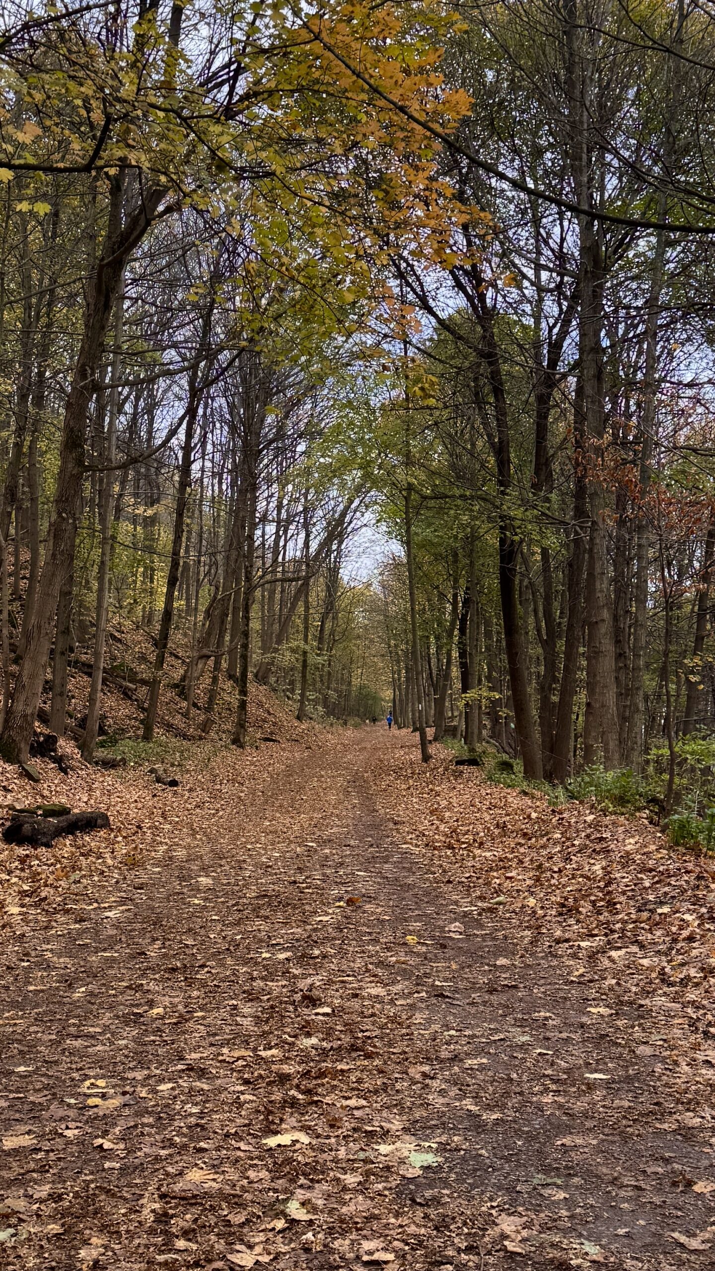
*Good Companions - Chedoke Radial Trail and Scenic Drive Side Trail
https://hikesstaging.brucetrail.org/event/good-companions-chedoke-radial-trail-and-scenic-drive-side-trail/Sorry, the registration cut-off time for this hike has been reached.Not a member? Click here to join today!Hosting Club: Iroquoia
Category: Good Companions
Location (Google Maps):Chedoke Golf Club Parking Lot – Hamilton
Hike Leader(s): Ted Bossence Click here to contact Hike Leader(s)
Pace: Medium – 3 to 4 km/hr
Terrain: Moderate – Some hills and/or some poor footing
Distance: 8 kmDescription
We will walk up the Chedoke Radial Trail and into the Iroquoia Heights Conservation Area. We will then loop back and follow the Scenic Drive Side Trail along the top of the escarpment and down either the Dundurn or Chedoke (Leader’s choice) escarpment stairs to the golf course parking lot. Bring water and icers, in case they are needed. I will be leaving on time at 10:00 am. In case of bad weather I will cancel the hike and notify you by email the evening before. Please check your email. If you must cancel after 4:00 pm on the Tuesday, please use contact information I will send on the Tuesday. Please arrive by 9:45 am, I will be leaving on time.Winter Wednesday Walkers - North from North Street
https://hikesstaging.brucetrail.org/event/winter-wednesday-walkers-north-from-north-street-2/Sorry, the registration cut-off time for this hike has been reached.Not a member? Click here to join today!Hosting Club: Beaver Valley
Location (Google Maps): Meet at the end of North St. in Eugenia, on the shoulder, on the south side, turn cars to face east, . (North St. is directly north of The Top O’ The Rock store.) km 56.1, Map 26, Edition 31.
Hike Leader(s): Glenda Collings Click here to contact the hike leader.
Pace: Medium
Terrain: Moderate, Some steep sections
Length of Hike: Approx. 6 kmDescription
We’ll be hiking along the escarpment through forest to the Beaver Valley landmark “The Penstocks” and then returning to our cars. Some great views to be had! On winter hikes we may encounter bare ground, light snow, deep snow, or ice. Please bring snowshoes and icers to our Winter Wednesday Walkers outings. Wear appropriate clothing for the weather plus water and a snack.COVID-19 Precautions Before, During and After your Hike
- Each hiker joining a Bruce Trail Club organized hike must perform a self-screening check before hiking.
Find Ontario’s self-assessment tool here: https://covid-19.ontario.ca/self-assessment/ - If you are experiencing COVID-19 symptoms, stay home.
Other Guidelines
- Arrive 15 minutes before the start of the hike.
- Wear sturdy footwear and appropriate attire for the weather and the terrain.
Hiking poles are a good idea in any season, especially if the terrain is rocky or slippery. In winter, snowshoes or icers/crampons are needed when conditions dictate.
Wearing appropriate clothing and footwear prevents injuries and shows consideration for a safe and positive group hiking experience. - Always carry I.D. and your health card.
- Bring sufficient water and snacks (or lunch if indicated). A minimum of 1L of water is recommended on all hikes, and 3L is recommended for long, challenging hikes in the heat of the summer.
- Bring sunscreen and insect repellent (for spring and summer hikes).
- Bring your own first aid kit.
- Please leave dogs at home.

Winter Badge Wednesdays: Hockleycrest
https://hikesstaging.brucetrail.org/event/winter-badge-wednesdays-hockleycrest-2/Sorry, the registration cut-off time for this hike has been reached.Not a member? Click here to join today!Hike open to BTC Members only.
Hosting Club: Caledon Hills
Category: General
Location (Google Maps): Meet at 10 am at the Mono 5 Sideroad parking area at km 45.4 on the north side of the road where the Trail crosses. This is east of Airport Road. It is best to aim for arriving around 9:45, so we can start hiking as close to 10 am as possible. Thanks!Hike Leader(s): Elizabeth Ganong Click here to contact Hike Leader(s)
Pace: Medium – 3 to 4 km/hour
Terrain: Moderate – some hills and/or some poor footing
Distance: Approximately 5 kmDescription
Update on the conditions at Hockleycrest: We will be hiking less than 5 km because of the deep snow along some parts of the route. It is a bit narrow in those parts for snowshoes. For other parts, the trail is shared with the cross country skiers. We will be walking to the side of the groomed tracks for the skiers.Looking to get outside and enjoy nature in another season? You may wish to join in on one Wednesday hike in this winter series or all five! Complete all five as part of the series or do a combination of hikes within the series and your own winter hikes, and you will be eligible to receive the Caledon Winter Hiking Badge (further details below and on the CHBTC website under Club Badges).
Following the main Bruce Trail and side trails, this Wednesday’s hike takes us through Hockleycrest. Be prepared for winter conditions on our approximately 5 km route by bringing warm gear, poles, and icers. You are encouraged to bring water and a snack. No dogs please.
The hike leader for this hike is Elizabeth Ganong. Registrants can expect a reminder/update message one or two days before the hike.
If desired, this hike may be used towards the Caledon Winter Hiking Badge (5 winter hikes in the Caledon section that are 1 ½ hours or longer in length). Please keep a log of your hikes and follow the directions on the CHBTC website under Club Badges to receive your badge.
3:00pm Ridgeway/Crystal Beach - A walk in the neighbourhood
https://hikesstaging.brucetrail.org/event/300pm-ridgeway-crystal-beach-a-walk-in-the-neighbourhood/Sorry, the registration cut-off time for this hike has been reached.Not a member? Click here to join today!Hosting Club: Niagara
Category: Urban
Location (Google Maps): Ridge Road, RidgewayHike Leader(s): Heather Howkins Click here to contact Hike Leader(s)
Pace: Medium
Terrain: Easy
Distance: 8kDescription
We will meet outside Brimstone Brewing pub and walk through town and down to Crystal Beach. We will see the old site of Crystal Beach amusement park , Hot dog alley and return to Ridgeway after checking out the beach.On street parking, no fee.
Please dress according to weather and bring water. No poles required.
We will visit Brimstone on our return after the hike.
- Each hiker joining a Bruce Trail Club organized hike must perform a self-screening check before hiking.
- 27February 27, 2025
9:00 am Long Hike Cave Spring
https://hikesstaging.brucetrail.org/event/900-am-long-hike-cave-spring-4/Sorry, the registration cut-off time for this hike has been reached.Not a member? Click here to join today!Hosting Club: Niagara
Location (Google Maps):
Cave Spring Conservation Area
Hike Leader(s): Alan Laver Click here to contact Hike Leader(s)
Pace: Medium
Terrain: Moderate
Distance: 10kDescription
From Cave Spring Conservation Area explore the trail network on the escarpment You must register for each hike. Bring Poles, snack and a drink and dress for the weatherHiking Around Jordan
https://hikesstaging.brucetrail.org/event/hiking-around-jordan-23/Sorry, the registration cut-off time for this hike has been reached.Not a member? Click here to join today!Hosting Club: Niagara
Location (Google Maps): Shoarishon Park (formerly known as Jordan Hollow)
Hike Leader(s): Bill Russell Click here to contact Hike Leader(s)
Pace: Medium
Terrain: Moderate
Distance: 7 kmDescription
Hike various trails in Jordan (Balls Falls, Jim Rainforth Trail and Bailey Bridge through the village of Jordan)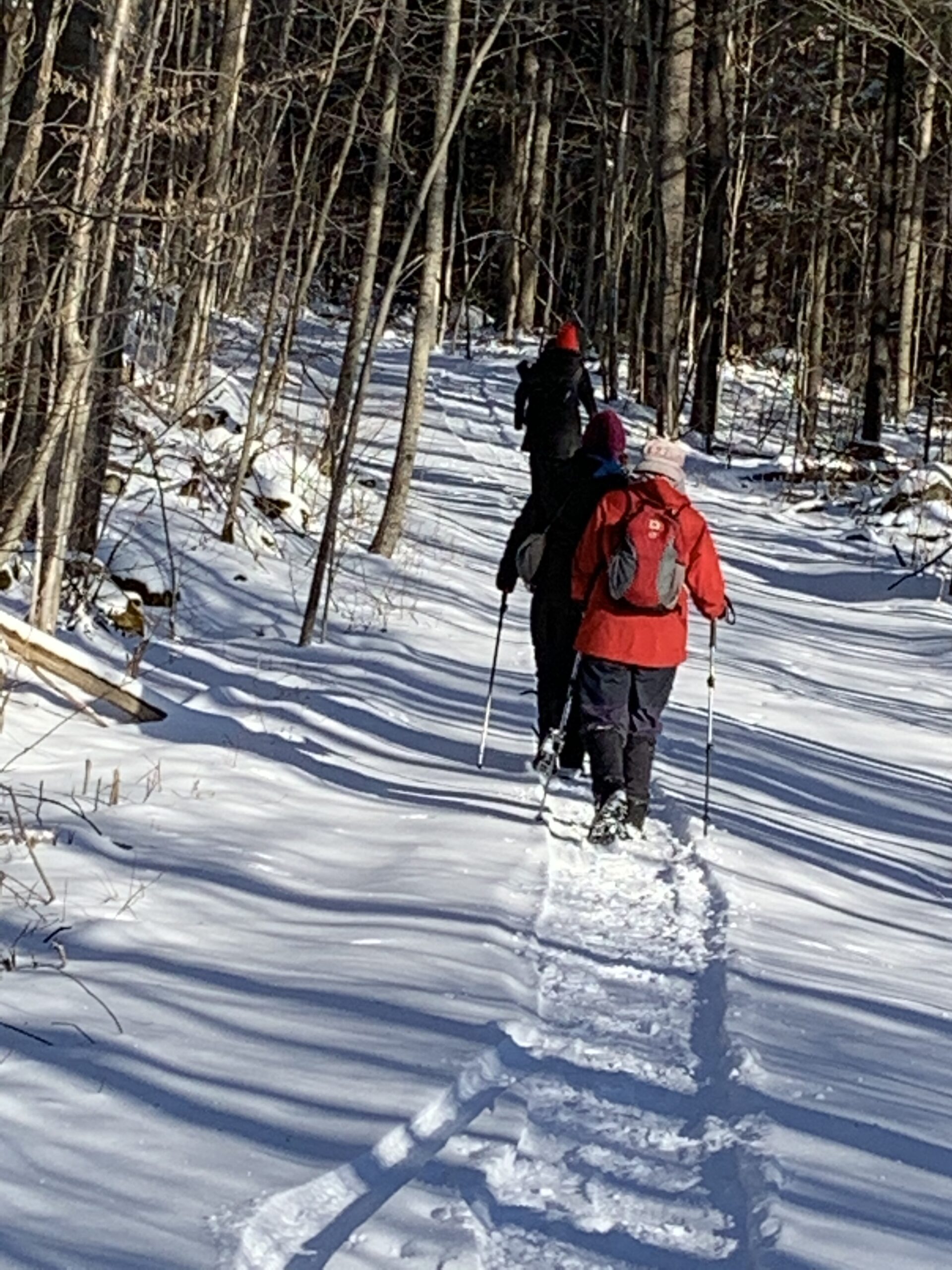
Lollipop Hike
https://hikesstaging.brucetrail.org/event/lollipop-hike/Sorry, the registration cut-off time for this hike has been reached.Not a member? Click here to join today!Hosting Club: Iroquoia
Category: Good Companions
Location (Google Maps): Halton Agreement Forest, Guelph Line, across from Elements Casino MohawkHike Leader(s): Anne Armstrong Click here to contact Hike Leader(s)
Pace: Leisurely – 3km/hr or less
Terrain: Moderate – Some hills and/or some poor footing
Distance: Approx 8 – 9 km.Description
Join us to hike the many trails of this extensive forest with its many hiking and biking trails. With good snow cover we may avoid the rocks. rocks. Meet in the northeast corner of the Elements Casino parking lot at 9:45 am. for a 10:00 am. start. Bring water, a snack, and icers. Poles may be helpful. I will send an email out ahead of the hike to give you my contact information. - 28February 28, 2025

9:00 am Niagara-on-the-Lake Tour
https://hikesstaging.brucetrail.org/event/900-am-niagara-on-the-lake-tour-32/Sorry, the registration cut-off time for this hike has been reached.Not a member? Click here to join today!Hosting Club: Niagara
Category: Urban
Location (Google Maps):Veterans Memorial Park, park just outside the park on King Street
Hike Leader(s): Robin Garrett Click here to contact Hike Leader(s)
Pace: Medium
Terrain: Easy
Distance: 6-7 kmDescription
Each Friday we will explore different neighbourhoods, trails and parkland throughout Historic Niagara-on-the-Lake.Moderate pace with some weeks entirely on sidewalks and roads while others may include a mix of trails and paved pathways. Great way to build up endurance for longer more strenuous hikes.
Prepare for cooler windy conditions on open parkland and along Lake Ontario and Niagara River trails.
Plan to stay for conversation and a warm cup of coffee or tea at Sweets & Swirls, Community Centre, Niagara Stone Road, NOTL
Scotch Block Forest Trails
https://hikesstaging.brucetrail.org/event/scotch-block-forest-trails/Sorry, the registration cut-off time for this hike has been reached.Not a member? Click here to join today!Hike open to BTC Members only.
Hosting Club: Iroquoia
Category: General Hike
Location (Google Maps): Scotch Block and SpeysideHike Leader(s): Victoria Best Click here to contact Hike Leader(s)
Pace: Medium – 3 to 4 km/hr
Terrain: Dependent on Conditions, Moderate – Some hills and/or some poor footing
Distance: 7 to 10 kmDescription
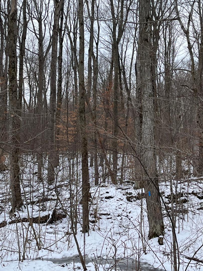
We will walk to the end of St Helena Rd. Hike the BT main trail north to the Al Shaw Side Trail. Take forest trails to the Tirion Tract and the BT main trail.
Depending on the time and trail conditions, we can extend the hike along the edge of the escarpment to the McKague Easement and then hike back to the cars via the BT main trail.
Dress appropriately for the weather. We can expect to see snow on the trails. The trail has rocky sections. Hiking boots and icers are required.
Bring a snack & beverage.
No dogs please.
Departure Time: arrive at 9:15 for a 9:30AM departure.
Fun Friday Hike - Cyprus Lake and Georgian Trail
https://hikesstaging.brucetrail.org/event/fun-friday-hike-cyprus-lake-and-georgian-trail/Sorry, the registration cut-off time for this hike has been reached.Not a member? Click here to join today!Hosting Club: Peninsula
Category: Winter Hikes
Location (Google Maps): Bruce Peninsula National Park – Cyprus LakeHike Leader(s): Marg and Owen Glendon Click here to contact Hike Leader(s)
Pace: Leisurely (2.0 – 3.0 km/h): A relaxed pace with frequent breaks and a focus on enjoyment.
Terrain: Moderate: Rolling hills, mild slopes and rocky paths.
Distance: 5 – 6 kmDescription
Let’s have some winter fun exploring the trails at Bruce Peninsula National Park. Meet at the Head of the Trails at Bruce Peninsula National Park located at 469 Cyprus Lake Rd, Tobermory. Bruce Peninsula National Park showcases some of Mother Nature’s most beautiful natural ice sculptures and beautiful forest trails. We will hike the Georgian Trail to the Grotto and extend our hike along the Horseshoe Lake or Cyprus Lake Trail, depending on trail conditions. Bring a backpack to carry a light lunch and water. Weather and trail can be variable at this time of year -be prepared to bring snowshoes, icers, hiking poles, gators. We will aim for a 2 1/2 -3 hour hike with short nutrition break, time for photos and conversation. Please arrive about 15 minutes prior to the hike start time. All park fees apply.