
Hike Schedule
Join us for a hike! Registration required.
All hikes available to BTC members. Some hikes are open to non-members.
See Refund Policy for Paid Hikes >
TIP: The calendar view displays up to 7 hikes on a day, but often there are more. Click “View more events” to see them all.
Categories
- 15February 15, 2025
Car Hike: Boyd conservation park
https://hikesstaging.brucetrail.org/event/car-hike-boyd-conservation-park-2/Sorry, the registration cut-off time for this hike has been reached.Not a member? Click here to join today!Hosting Club: Toronto
Location (Google Maps): Free parking lot before main entrance of park
Hike Leader(s): Mohammad Aghamiri Click here to contact Hike Leader(s)
Pace: Moderate (3-4 km/hr)
Terrain: Level 2 (Intermediate – some hills and uneven surfaces, rocks and roots underfoot), Variable
Distance: 12-14 kmDescription
Let’s hike Boyd conservation park trails through beautiful valleys.It is winter time,please bring your ice cleats and proper clothing and hiking poles are recommended

CANCELLED 9:00 NOTL Black History SERIES - #3 of 4: Standing Firm for Freedom: The Solomon Moseby Affair
https://hikesstaging.brucetrail.org/event/900-notl-black-history-series-3-of-4-standing-firm-for-freedom-the-solomon-moseby-affair-2/Sorry, the registration cut-off time for this hike has been reached.Not a member? Click here to join today!Hike open to BTC Members only.
Hosting Club: Niagara
Category: Urban
Location (Google Maps):Veteran’s Memorial Park. Park on King St. at Centre.
Hike Leader(s): Karen Couch Click here to contact Hike Leader(s)
Pace: Medium
Terrain: Easy
Distance: 7 – 8 kmsDescription
Since 1995, the government in Canada officially recognized February as Black History Month; a time when Canadians are invited to reflect, educate and engage in the ongoing fight against anti-Black racism and discrimination. You will find out about some of those who fought enslavement, and how they were pivotal in shaping our society to be as diverse as it is today.*Dress for the weather. Icers and hiking poles are recommended as paths tend to be icy. We will stop several times. Expect hike to take from 1.5-2 hours.
Hike 3 of 4 hikes in this series for the Black History badge.
PLEASE NOTE: Hikes are offered by volunteers who have committed to their own learning to be able to offer informative and contemplative hike experiences. These hikes are open to all and offered in a spirit of mutual leaning and inclusion.
Urban Walk: Uxbridge Trails
https://hikesstaging.brucetrail.org/event/urban-walk-uxbridge-trails-4/Sorry, the registration cut-off time for this hike has been reached.Not a member? Click here to join today!Hosting Club: Toronto
Category: Urban Walk
Location (Google Maps):Union Station – Meet in the Great Hall by the information desk with the clock over it by 9:00. We will take the 9:13 Stouffville Line train to Mount Joy GO Station and connect to the GO Bus towards Uxbridge. You may alternatively board the GO Train at Kennedy GO Station or stops in north Scarborough. The GO $10.00 Transit Day Pass, available for smart phones, is valid for return travel on the train and GO Bus. Hikers without a smart phone may purchase the Day Pass from the Hike Leader. Seniors return fare from Union is $10.61 with Presto including their TTC Fare which is the cheaper option for them.
Hike Leader(s): Tom Swales
Pace: Moderate (3-4 km/hr)
Terrain: Level 2 (Intermediate – some hills and uneven surfaces, rocks and roots underfoot), Variable
Distance: 12Description
Join us for a winter hike on the Countryside Preserve trails, the Ewan and Historic Trails into downtown Uxbridge. Due to the limited bus service plan on joining us for a refreshment stop at the local brewery or pub before returning to the city. Bring icers (mandatory) and poles if preferred. Difficulty and routing may be determined by amount of recent snowfall.Enjoy your day after Valentines hiking with the Toronto Bruce Trail Club. Discounted chocolates welcome.
Dundas Valley Winter Hike
https://hikesstaging.brucetrail.org/event/dundas-valley-winter-hike/Sorry, the registration cut-off time for this hike has been reached.Not a member? Click here to join today!Hosting Club: Dufferin Hi-Land
Category: General Hike
Location (Google Maps): Please note the meeting point location- it’s at the Dundas Valley Conservation parking lot at the end of Lions Club Rd. Follow this road to the end, then enter the gates leading to the parking lot. Paid entrance by credit card at the gate. Please note that there are a number of parking lots within this conservation area.Hike Leader(s): Gilles Gagnon Click here to contact Hike Leader(s)
Pace: Medium
Terrain: Slippery and Steep Sections
Distance: 8.5 to 15 depending on conditions. Drop out options available at about 9 km markDescription
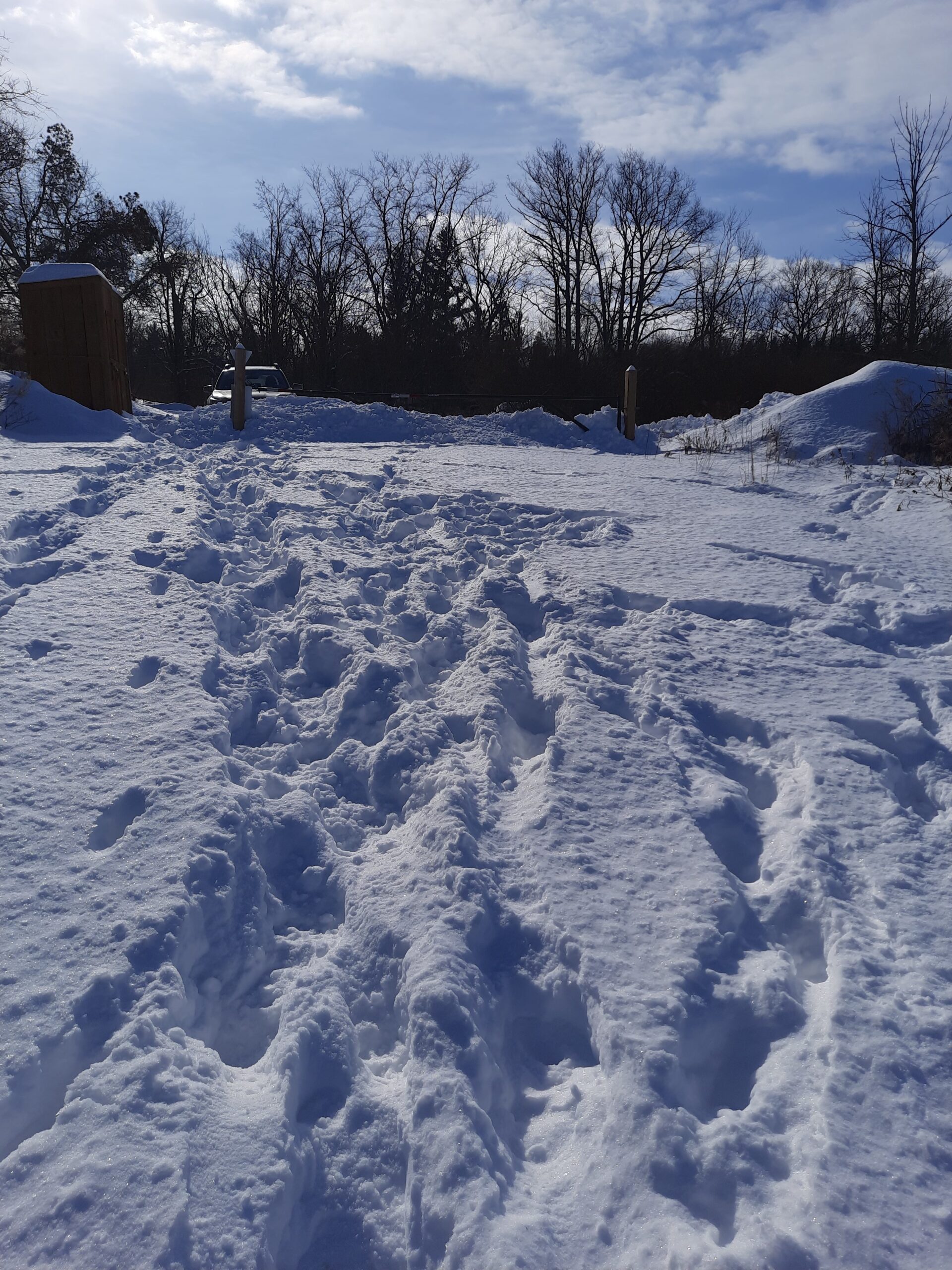
Circular hike within the Dundas Valley Conservation area taking in Canterbury, Sherman, and Tiffany Falls. Icers are required/ snowshoes (to be advised depending on conditions ). Optional pub stop afterwards.
Urban Walk: Waterfront Trail 6/11 – Lakeshore East
https://hikesstaging.brucetrail.org/event/urban-walk-waterfront-trail-6-11-lakeshore-east-2/Sorry, the registration cut-off time for this hike has been reached.Not a member? Click here to join today!Hosting Club: Toronto
Category: Urban Walk
Location (Google Maps): CanadaHike Leader(s): Brian Rideout Click here to contact Hike Leader(s)
Pace: Moderate (3-4 km/hr)
Terrain: Flat
Distance: 10.9 kmDescription
Please join me at the Tim Horton’s at Lakeshore and Leslie no later than 9:50 am. We start hiking at 10:00 am.We will hike east on Lakeshore, along the Beaches Boardwalk, and on Kingston Rd to Brimley Rd. The estimated distance is 10.9 km. Here is an online map of our route Lakeshore to Brimley Rd
Bring a snack, at least 2 liters of water, and icers. Dress for cold weather.
Saturday Shorts: Hockley Valley Provincial Nature Reserve
https://hikesstaging.brucetrail.org/event/saturday-shorts-hockley-valley-provincial-nature-reserve-2/Sorry, the registration cut-off time for this hike has been reached.Not a member? Click here to join today!Hike open to BTC Members only.
Hosting Club: Caledon Hills
Category: General
Location (Google Maps): Meet at 10 am at the parking area (10 cars) on 3rd Line, north of Hockley Road. (Note: We are not meeting at the main parking area on Hockley Road. Go north on 3rd Line. The parking area is on the east side of the road.) It is best to aim for arriving around 9:45, so we can start hiking as close to 10 am as possible. Thanks!Hike Leader(s): Dan Revington; Elizabeth Ganong Click here to contact Hike Leader(s)
Pace: Medium – 3 to 4 km/hour
Terrain: Moderate – some hills and/or some poor footing, Strenuous – hilly with steep climbs and some poor footing
Distance: Approximately 4 kmDescription
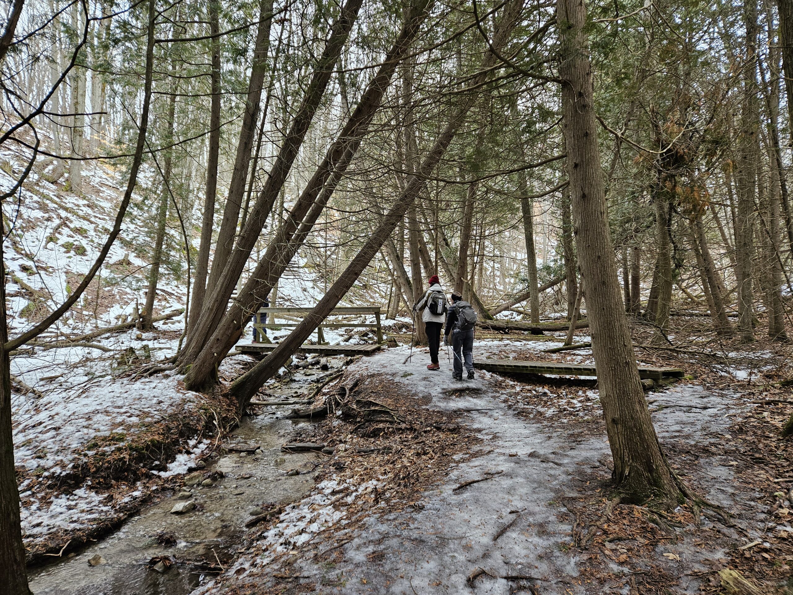
Looking to get out on a Saturday but not give up your whole day? Saturday Shorts, a hiking series, will get you out in a small group on a short hike. This Saturday’s hike is a hilly challenge as we use side trails and the main trail to make a 4 km loop in the Hockley Valley Nature Reserve. Be prepared for winter conditions by bringing warm gear, poles, and icers. You are encouraged to bring water and a snack. No dogs please.The hike leader for this hike is Dan Revington. Registrants can expect a reminder/update message from Dan one or two days before the hike.
If desired, this hike may be used towards the Caledon Winter Hiking Badge (5 winter hikes in the Caledon section that are 1 ½ hours or longer in length). Please keep a log of your hikes and follow the directions on the CHBTC website under Club Badges to receive your badge.
Soup's On Hike - Fairmount Area
https://hikesstaging.brucetrail.org/event/soups-on-hike-fairmount-area-2/Sorry, the registration cut-off time for this hike has been reached.Not a member? Click here to join today!Hosting Club: Beaver Valley
Location (Google Maps): Meet in the laneway of Bob & Joan’s property, 806492 Side Road 25, between Webwood Falls & 3rd Line. If the laneway is full, park on the shoulder of the road, south side.
Hike Leader(s): Glenda Collings Click here to contact the hike leader.
Pace: Medium
Terrain: Moderate
Length of Hike: Approx. 5 kmDescription
SOUP’S ON! Join us for a lovely snowshoe through woods and fields on the property of Bob Hann & Joan Nuffield, followed by a warming lunch in their home. They will provide the soup, plus coffee & tea and you’ll bring a sandwich, or your choice of accompaniment to go with it. If you’d like to bring goodies to share for dessert, feel free! Folks are welcome to show up just for the lunch, or conversely, just for the hike. If you are there just for lunch, please arrive between 12:00 and 12:30 p.m. Depending on the conditions, we may use snowshoes, icers or just boots, so please come prepared. If you have any questions please contact beavervalleytrailactivities@gmail.com. The hike leader will inform the group in the morning on Feb. 15 if weather conditions preclude the hike. Hope to see you there! Please car pool if possible. - 16February 16, 2025

Rush Cove Ice Caves Hike
https://hikesstaging.brucetrail.org/event/rush-cove-ice-caves-hike/Sorry, the registration cut-off time for this hike has been reached.Not a member? Click here to join today!Hosting Club: Peninsula
Category: Winter Hikes
Location (Google Maps): Rush Cove Road municipal parking lotHike Leader(s): Shawn Radcliffe Click here to contact Hike Leader(s)
Pace: Medium (3.0 – 4.5 km/h): A comfortable pace for most hikers with steady progress.
Terrain: Difficult: Steep ascents/descents, rocky scrambling, and some rugged escarpment paths., Moderate: Rolling hills, mild slopes and rocky paths.
Distance: 9.0 kmDescription
Join us for an exciting in-and-out hike to visit the ice caves that form along the escarpment east of Rush Cove. This hike will also feature scenic views of Georgian Bay and walks through snowy forests—perfect for those looking to explore the winter wonderland of the Bruce (Saugeen) Peninsula.We will meet at the Rush Cove Road municipal parking lot at the top of the hill and hike the side trail down the road to the main trail, at which point we will enter the forest. We will follow the main trail to the Shoreline Access side trail, which will take us to the ice caves. On our return, we will take the Rush Cove side trail to meet up with the main trail and then follow the side trail back up the hill to the parking lot.
Winter Hiking Tips:
Wear appropriate winter footwear and traction devices (e.g., microspikes) for icy conditions.
Snowshoes may be needed, depending upon how much snow is on the ground. Gaiters can also keep the snow out of your boots.
Dress in layers to adjust to changing temperatures throughout the day.
Bring plenty of water, snacks, and a camera to capture the stunning scenery.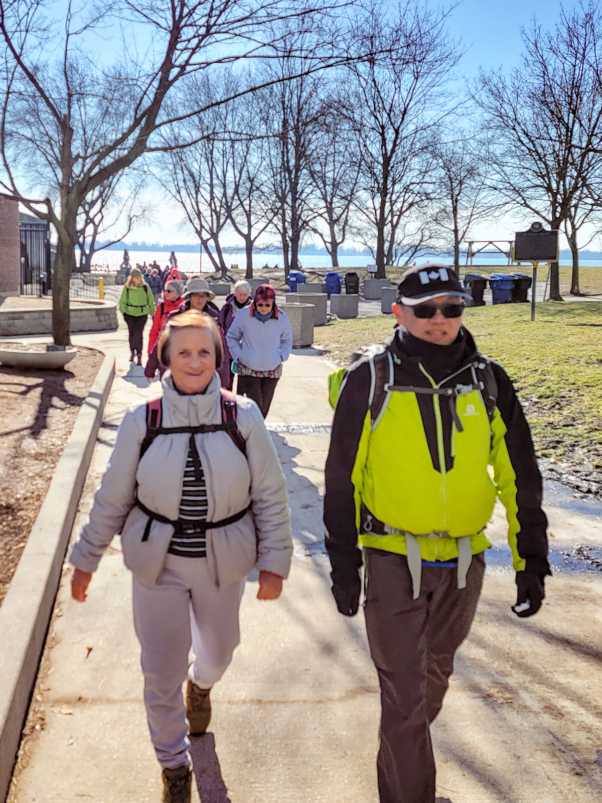
Urban Walk: Waterfront Trail 5/11 – Bathurst
https://hikesstaging.brucetrail.org/event/urban-walk-waterfront-trail-5-11-bathurst/Sorry, the registration cut-off time for this hike has been reached.Not a member? Click here to join today!Hosting Club: Toronto
Category: Urban Walk
Location (Google Maps): CanadaHike Leader(s): Brian Rideout Click here to contact Hike Leader(s)
Pace: Moderate (3-4 km/hr)
Terrain: Flat
Distance: 9.4 kmDescription
Please join me at Bathurst Station no later than 9:00 am. We will take the streetcar southbound departing 9:30 am, arriving at Fleet St 9:49 am. If you want to meet us at Bathurst and Fleet, be there by 9:49 am. We start hiking at 10:00 am.We will hike to the lake and east to Leslie St. The estimated distance is 9.4 km. Here is an online map of our route Bathurst to Leslie
Bring a snack, at least 2 liters of water, and icers. Dress for cold weather.
Port Credit Go to the former site of the Credit Mission Village of the Mississaugas of the New Credit
https://hikesstaging.brucetrail.org/event/port-credit-go-to-the-former-site-of-the-credit-mission-village-of-the-mississaugas-of-the-new-credit/Sorry, the registration cut-off time for this hike has been reached.Not a member? Click here to join today!Hosting Club: Toronto
Category: Urban Walk
Location (Google Maps): Inside the Port Credit Go Train Station. Coming by Go Train from Union Station catch the 9:44 Lake Shore West Train arriving at 10:13.:Free parking at the station.Hike Leader(s): Andrew Proczek Click here to contact Hike Leader(s)
Pace: Moderate (3-4 km/hr)
Terrain: Flat
Distance: 10 – 12 kmDescription
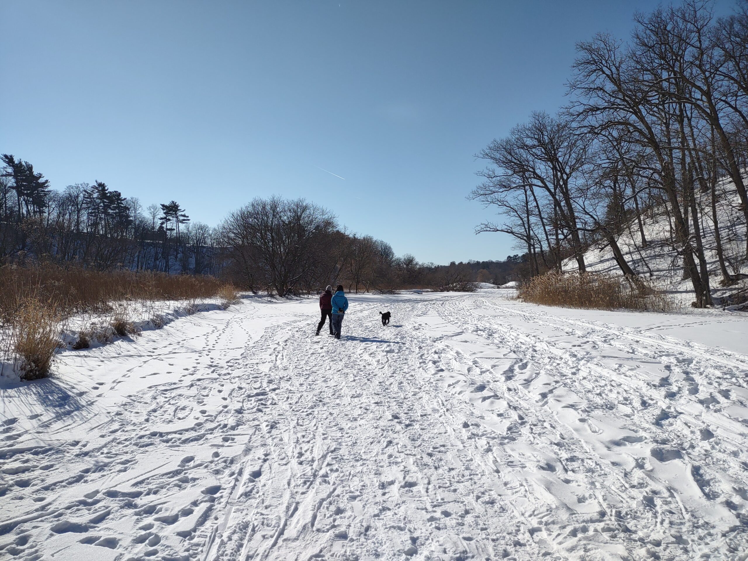
The name Mississauga comes from the Anishinaabe word Misi-zaagiing, which means “Those at the Great River-mouth”. Join me for part 2 of my tribute to the Mississaugas as we move from the Humber to the Credit River, which was the site of the last settlement for the Mississaugas in the GTA, called the Credit Mission Village, from 1825 to 1847. We will hike from Port Credit Go following the Credit River to the present day Mississauga Golf and Country Club where the Credit Mission Village once stood on 200 acres of land. After a short history talk we will loop back to Port Credit via Mississauga Road.Please pack a lunch and a Thermos of your favorite hot beverage. Remember that icers and sturdy hiking shoes or boots are mandatory for winter hiking. Poles are optional but can be of assistance on ice and snow.
Washrooms available only at Port Credit Go Station. We will stop for a bio break in nature before venturing on the golf course.
- 17February 17, 2025

Headwaters Trail in Dundas Valley via Martin Rd, Ancaster
https://hikesstaging.brucetrail.org/event/headwaters-trail-in-dundas-valley-via-spring-valley-trail/Sorry, the registration cut-off time for this hike has been reached.Not a member? Click here to join today!Hike open to BTC Members only.
Hosting Club: Iroquoia
Category: General Hike
Location (Google Maps): Due to remarkable snow levels on the trails, the hike length has been reduced to 8 km and the end time is now 13:30.
We will now meet at the parking lot nearest to the Ancaster Baseball Matthew Krol Field on Martin Road in Ancaster. Near 134 Martin Road, Ancaster.Hike Leader(s): Victoria Best Click here to contact Hike Leader(s)
Pace: Leisurely – 3km/hr or less
Terrain: Dependent on Conditions, Moderate – Some hills and/or some poor footing, Slippery Sections Likely
Distance: 8 kmDescription
Hike the west end of the Dundas Valley Conservation Area.
We will enter the Conservation Area from Martin Road in Ancaster and then hike the Headwaters Trail loop and back to our cars.
Please arrive at 9:15 for a 9:30 start.
There is one to two feet of snow on the trails. If you have them, bring snowshoes so that you can help pack down the trail. Otherwise, hiking boots and icers are required.
Bring a lunch and beverage.
No dogs please.
Family Day in Tobermory - Bruce Trail Hike
https://hikesstaging.brucetrail.org/event/family-day-in-tobermory-bruce-trail-hike/Sorry, the registration cut-off time for this hike has been reached.Not a member? Click here to join today!Hosting Club: Peninsula
Category: Winter Hikes
Location (Google Maps): Bruce Peninsula National Park at the Visitor’s Centre located at 120 Chi sin tib dek Rd, Tobermory ON. Meet at the front of the Visitor’s Centre.Hike Leader(s): Caley Doran
Pace: Leisurely (2.0 – 3.0 km/h): A relaxed pace with frequent breaks and a focus on enjoyment., Medium (3.0 – 4.5 km/h): A comfortable pace for most hikers with steady progress.
Terrain: Moderate: Rolling hills, mild slopes and rocky paths.
Distance: 4.8 kmDescription
Family Day in Tobermory! Bruce Trail Hike, Campfire at the Bruce Peninsula National Park Visitor Centre and Family Activities at the Tobermory Community Centre!Our Family Day hike starts at the BPNP Visitor’s Centre. We will hike the Main Bruce Trail to the Burnt Loop Side Trail. This is a lovely winter hike (~4.8 km) through an enchanting forest with pretty views of Georgian Bay, Flower Pot and Bear’s Rump Islands taking approximately 2 1/2 hours. We will hike at steady pace with brief stops for drinks/snacks and water views.
The terrain on the first part of this trail is level, however the Burnt Loop Side Trail is a meandering, rocky trail with some short ups and downs and includes a short rocky beach section. If snow is deep, the remainder of the hike may be challenging for some. For those wishing to return to the Visitor Centre after reaching our first lookout (~1 km), a PBTC Hike Leader will return with you while the rest of the hiking group continues.
Winter hikes require extra thought and preparation. Weather can be unpredictable. Be prepared to bring snowshoes, icers and gators (optional). Hiking poles are essential for winter hikes. Make sure to wear layers of clothing, warm winter hat, winter hiking boots and mittens. Bring a light backpack for water and snacks.
Don’t have your own snowshoes? No problem! Arrive early to the Park Visitors Centre to borrow a pair of snowshoes from the Park for this hike (limited supplies).
After the hike, everyone is welcome to gather together by the fireplace or outdoor campfire at the Visitor’s Centre. Indoor washrooms are available here. The hike is free. However, park admission and parking fees apply.
Caley Doran, a passionate Anishinaabe Interpretive Guide from Saukiing Anishinaabekiing territory, will lead the hike. Caley is dedicated to his roots, and brings a deep connection to Mother Earth and ancestral wisdom to his guided hikes.

Family Day Trail Adventure for Everyone
https://hikesstaging.brucetrail.org/event/family-day-trail-adventure-for-everyone/Sorry, the registration cut-off time for this hike has been reached.Not a member? Click here to join today!Hosting Club: Caledon Hills
Category: General
Location (Google Maps): Bruce Trail Parking Lot at Riverside Woods
713377 1st Line EHS, Mono
Google GPS Coordinates: 43.959916, -80.070494Driving Directions:
From Hwy #10 north of Orangeville turn east on Hockley Road.
Drive for 1.1 km.
Continue straight onto Side Road 5 for 1.6 km.
Turn left onto 1st Line EHS for 900 metres.
Continue straight into the parking lot.***DO NOT take 1st Line EHS south from Hockley Road. It is NOT maintained. Google Maps may suggest this impassable route. Follow the above directions.
Hike Leader(s): Sandy Green Click here to contact Hike Leader(s)
Pace: Leisurely – 3 km/hour or less
Terrain: Easy – mostly flat and usually good footing, Moderate – some hills and/or some poor footing
Distance: 1.5 km, 3.5 km, or 7.5 kmDescription
EVENT CANCELLED DUE TO INCLEMENT WEATHER Plan to spend time in nature with family and friends. Join one of three group hike options – 1.5 km, 3.5 km, or 7.5 km. Make a craft and challenge each other to an outdoor game. Dress for the weather. Depending on the snow conditions, icers/crampons are recommended. Bring snacks and beverages to keep you fuelled during the hike. Warm up at the end with hot chocolate.CANCELLED- Urban Walk: Toronto Islands Family Day Hike
https://hikesstaging.brucetrail.org/event/urban-walk-toronto-islands-family-day-hike-2/Sorry, the registration cut-off time for this hike has been reached.Not a member? Click here to join today!Hosting Club: Toronto
Category: Cancelled
Location (Google Maps):Meet inside the waiting area of Jack Layton Ferry Terminal at the foot of Bay Street at 10:15AM to take the 10:30 AM Ferry to Ward’s Island. Ferry tickets can be purchased when you arrive or online. Ferry return fares: $10.50 adult, $6.75 student/senior
Hike Leader(s): Ray Berzins Click here to contact Hike Leader(s)
Pace: Moderate (3-4 km/hr)
Terrain: Flat
Distance: 12 kmDescription
CANCELLED Due to heavy snow, cold temperature, high winds and lack of shelter.The Toronto Islands are very peaceful in the Winter Season. We will catch the 3:45 pm or 4:15 pm ferry to be back in the city by 4:30 pm. Bring a lunch, snacks, water, a hot beverage, and icers if available. Dress in warm layers appropriate to the weather. Heated washrooms available. Dropout anytime by walking back to the Ward’s Island Ferry Dock. We will hike to Hanlan’s Point and return to Ward’s Island (only destination served in the Winter) – approximately 6 km each way.

CANCELLED: Youth Hiking Program - Family Day Discovery Hike - GSCA to Inglis
https://hikesstaging.brucetrail.org/event/youth-hiking-program-family-day-discovery-hike-gsca-to-inglis/Sorry, the registration cut-off time for this hike has been reached.Not a member? Click here to join today!Hosting Club: Sydenham
Category: Family Hike
Location (Google Maps): Meet in the parking lot behind the Grey-Sauble Conservation Authority head office (beside the Arboretum).
237897 Inglis Falls Road, Owen SoundHike Leader(s): Jeannine Kralt Click here to contact Hike Leader(s)
Pace: Leisurely: 3 km/h or less
Terrain: Moderate: Some hills and/or poor footing
Distance: 4kmDescription
Join us on this Family Day Discovery Hike from GSCA to Inglis Falls and back – we’ll take our time, and see what we can find. We’ll cross the Sydenham River, hike through forests, climb the Escarpment, check out geological potholes and take a peek at Inglis Falls, returning via mostly the same route. Free ‘Boots on the Trail’ badges are available to youth 18 and under. This is also a great route to choose for the By the Seasons badge.As we’ll be taking our time, this hike is suitable for families, new hikers, and anyone wanting a more leisurely hike. All ages are welcome. We’ll likely take a couple of hours (possibly more), depending on the group – dress in layers, bring a snack, and wear good footwear. Given that February conditions can be variable, an email re: trail conditions to expect will be sent out prior to our hike together. As this is a well-used stretch of trail, it’s anticipated that snowshoes are not necessary. The trail may be slippery-icy or mucky in portions.
If you are unable to register, please contact the hike leader via the link above. Carpooling may be available upon request.
- 18February 18, 2025
CANCELLED Rocklyn Creek to Griersville
https://hikesstaging.brucetrail.org/event/rocklyn-creek-to-griersville-2/Sorry, the registration cut-off time for this hike has been reached.Not a member? Click here to join today!Hosting Club: Sydenham
Category: General Hike
Location (Google Maps): Meet at roadside parking location on Deviation Road where the Bruce Trail crosses the road – see map 28. We will do a quick car shuttle to the parking on Euphrasia St.Vincent Townline at Griersville and will hike back to Deviation Road. Please arrive at Deviation Road at 08:45h so we can do the car shuttle and be hiking by 9 am.Hike Leader(s): Fran Turner
Pace: Brisk: 4 to 5 km/h
Terrain: Moderate: Some hills and/or poor footing
Distance: 9.5 kmDescription
This hike travels along the top of the escarpment, crossing several pretty creeks and waterfalls. At this time of year, the beautiful views northeast to Georgian Bay are not blocked by foliage, so we will enjoy spectacular scenery. There are no major hills to tackle, but the terrain is rugged. I will check the trail conditions the day before the hike and let people know what footwear is needed eg Icers or snowshoes.9:00 Long Hike Wiley Road Short Hills
https://hikesstaging.brucetrail.org/event/900-long-hike-wiley-road-short-hills-46/Sorry, the registration cut-off time for this hike has been reached.Not a member? Click here to join today!Hosting Club: Niagara
Location (Google Maps):
Short Hills Wiley Road Entrance
Hike Leader(s): Alan Laver Click here to contact Hike Leader(s)
Pace: Medium
Terrain: Moderate
Distance: 10kmDescription
Explore Short Hills and the majestic side trails of Scarlett Tanager, Hemlock. Swayze Falls and Terrace. Register for each hikeBring Poles, Icers, snack, and dress for the weather
Urban Walk: Valley View Park Thornhill
https://hikesstaging.brucetrail.org/event/urban-walk-valley-view-park-thornhill-56/Sorry, the registration cut-off time for this hike has been reached.Not a member? Click here to join today!Hosting Club: Toronto
Location (Google Maps): Parking lot is inside Sycamore Drive East of Bayview , north of Bayview Reservoir Park Playground
Hike Leader(s): Mohammad Aghamiri Click here to contact Hike Leader(s)
Pace: Moderate (3-4 km/hr)
Terrain: Level 2 (Intermediate – some hills and uneven surfaces, rocks and roots underfoot)
Distance: 7-8 kmDescription
We will explore Valleyview and Maple View parks, and walk along German Mill Creak,In return we stop in Huntington park and have snack under beautiful shed ,Even it is considered Urban walk, but it is urban hike as we have some up and down hills and tree roots, please bring your Ice cleats and hiking poles
9:15 Short hike, Pelham Road, Short Hills
https://hikesstaging.brucetrail.org/event/915-short-hike-pelham-road-short-hills-10/Sorry, the registration cut-off time for this hike has been reached.Not a member? Click here to join today!Hosting Club: Niagara
Location (Google Maps): Short a hills Provincial Park, Pelham Road entrance
Hike Leader(s): janet davey Click here to contact Hike Leader(s)
Pace: Medium
Terrain: Moderate
Distance: 6 kmsDescription
Hike the main and side trails in Short Hills Provincial Park. Bring hiking boots and water. Keep a pair of icers in your car in case of icy conditions.Forks of the Credit
https://hikesstaging.brucetrail.org/event/forks-of-the-credit/Sorry, the registration cut-off time for this hike has been reached.Not a member? Click here to join today!Hosting Club: Caledon Hills
Category: Tuesday Hikers
Location (Google Maps): Mississauga Rd. intersection with Elora-Cataract Trailway.
Driving direction: From Highway 401, north on Mississauga Rd., pass through Belfountain village, after crossing Cataract Rd. and Elora-Cataract Trailway, park on either side of the road.
Alternate: North on Highway 410, continue on Highway 10, at Caledon Village, left on Charleston Sideroad (24), left on Mississauga Rd., drive 2 km to the roadside parking.Hike Leader(s): Mohammad Shafiq Click here to contact Hike Leader(s)
Pace: Medium – 3 to 4 km/hour
Terrain: Moderate – some hills and/or some poor footing
Distance: 11 kmDescription
Will enter Forks of the Credit Conservation Area using Elora-Cataract Trailway and hike main Bruce Trail, Mill Pond Trail and parts of conservation trails.
Bring water, a warm drink and snack; poles are recommended.
Dress according to weather, in layers, gloves and cleats may be required for safe hiking.
Will observe Forest Bathing for 20 minutes during the hike.Hockley Valley-Tom East Loop
https://hikesstaging.brucetrail.org/event/hockley-valley-tom-east-loop/Sorry, the registration cut-off time for this hike has been reached.Not a member? Click here to join today!Hosting Club: Dufferin Hi-Land
Category: Tuesday Hike
Location (Google Maps):Caledon Hills Section, Map 18, Meet at Hockley Rd parking lot on the north side of Hockley Rd, 250 meters east of 2nd line (near Km 61.3)
Hike Leader(s): Tony Evangelista, Inge Eckerich, Les Babbage , Julie Daley Click here to contact Hike Leader(s)
Pace: Leisurely
Terrain: Moderate, Slippery and Steep Sections
Distance: 5.6 Km, Short hike: 2.5 Km.Description
We will hike a loop consisting of Hockley Rd and Tom East Side Trails and Main Trail. Shorter hike will turn back where the Tom East trail turns sharply to the east. Bring water and snacks. Icers or Snowshoes may be required. Hiking poles are recommended.