
Hike Schedule
Join us for a hike! Registration required:
All hikes available to BTC members. Some hikes are open to non-members.
TIP: The calendar view displays up to 7 hikes on a day, but often there are more. Click “More events” to see them all.
Categories
- 08January 8, 2025
8:30 Niagara Winter End to End #1 Grimsby to Kinsmen Park
https://hikesstaging.brucetrail.org/event/830-niagara-winter-end-to-end-1-grimsby-to-kinsmen-park/Sorry, the registration cut-off time for this hike has been reached.Not a member? Click here to join today!Hosting Club: Niagara
Category: Car Pool
Location (Google Maps): Meet at Kinsmen Park Frost Rd Beamsville. Carpool to Lions Pool Grimsby 43.193201 79.565301Hike Leader(s): Sam Rutherford Click here to contact Hike Leader(s)
Pace: Medium
Terrain: Moderate
Distance: 13.5kmsDescription
We will be car pooling. Bring icers and poles. Dress for the weather, bring water and snacks. No dogs. To earn your Niagara Winter End to End badge, it must be completed between December 21, 2024 to March 21, 2025. Because of the potential for bad winter trail conditions we have broken this E2E into 6 hikes rather than 5.Winter Wednesday Walkers - Margaret Paull Loop CANCELLED
https://hikesstaging.brucetrail.org/event/winter-wednesday-walkers-margaret-paull-loop-2/Sorry, the registration cut-off time for this hike has been reached.Not a member? Click here to join today!Hosting Club: Beaver Valley
Location (Google Maps): Meet on 6th Line, north of Grey Road 119 (also called Sideroad 15), km 13.7, Map 24, Edition 31. Do not block driveway, gate or farm entrance.
Hike Leader(s): Glenda Collings Click here to contact the hike leader.
Pace: Medium
Terrain: Moderate
Length of Hike: Approx. 4 kmDescription
This will be a fairly short, but lovely loop, as we hike into the woods, past a flowerpot created by the waves of an ancient glacial lake, along Indian Creek and through fields with views. On winter hikes we may encounter bare ground, light snow, deep snow, or ice. Please bring snowshoes and icers to our Winter Wednesday Walkers outings. Wear appropriate clothing for the weather plus water and a snack.COVID-19 Precautions Before, During and After your Hike
- Each hiker joining a Bruce Trail Club organized hike must perform a self-screening check before hiking.
Find Ontario’s self-assessment tool here: https://covid-19.ontario.ca/self-assessment/ - If you are experiencing COVID-19 symptoms, stay home.
Other Guidelines
- Arrive 15 minutes before the start of the hike.
- Wear sturdy footwear and appropriate attire for the weather and the terrain.
Hiking poles are a good idea in any season, especially if the terrain is rocky or slippery. In winter, snowshoes or icers/crampons are needed when conditions dictate.
Wearing appropriate clothing and footwear prevents injuries and shows consideration for a safe and positive group hiking experience. - Always carry I.D. and your health card.
- Bring sufficient water and snacks (or lunch if indicated). A minimum of 1L of water is recommended on all hikes, and 3L is recommended for long, challenging hikes in the heat of the summer.
- Bring sunscreen and insect repellent (for spring and summer hikes).
- Bring your own first aid kit.
- Please leave dogs at home.
Cancelled: Winter Badge Wednesdays: Glen Haffy
https://hikesstaging.brucetrail.org/event/winter-badge-wednesdays-glen-haffy/Sorry, the registration cut-off time for this hike has been reached.Not a member? Click here to join today!Hike open to BTC Members only.
Hosting Club: Caledon Hills
Category: General
Location (Google Maps): Meet at 10 am at the roadside parking on Coolihans Sideroad, km 35.0 Map 17, near where the Trail crosses the road. This is just west of the intersection of Glen Haffy Road and Coolihans Sideroad. It is best to aim for arriving around 9:45, so we can start hiking as close to 10 am as possible. Thanks!Hike Leader(s): Elizabeth Ganong Click here to contact Hike Leader(s)
Pace: Medium – 3 to 4 km/hour
Terrain: Moderate – some hills and/or some poor footing
Distance: Under 4 km (with an optional extension)Description
Looking to get outside and enjoy nature in another season? You may wish to join in on one Wednesday hike in this winter series or all five! Complete all five as part of the series or do a combination of hikes within the series and your own winter hikes, and you will be eligible to receive the Caledon Winter Hiking Badge (further details below and on the CHBTC website under Club Badges).This Wednesday’s hike is at Glen Haffy. If the trails are snowy, we’ll hike the main Bruce Trail and Glen Haffy’s red loop, which makes a route under 4 km. If the trails are clear, a 5 km route may be used. Be prepared for winter conditions by bringing warm gear, poles, and icers. You are encouraged to bring water and a snack. No dogs please.
The hike leader for this hike is Elizabeth Ganong. Registrants can expect a reminder/update message one or two days before the hike.
If desired, this hike may be used towards the Caledon Winter Hiking Badge (5 winter hikes in the Caledon section that are 1 ½ hours or longer in length). Please keep a log of your hikes and follow the directions on the CHBTC website to receive your badge.
Good Companions - Shell Park and Bronte Trails
https://hikesstaging.brucetrail.org/event/good-companions-shell-park-and-bronte-trails/Sorry, the registration cut-off time for this hike has been reached.Not a member? Click here to join today!Hosting Club: Iroquoia
Category: Good Companions
Location (Google Maps):Shell Park, Lakeshore Road, Bronte (parking lot closest to Lakeshore Road) See map below
Hike Leader(s): Ted Bossence Click here to contact Hike Leader(s)
Pace: Medium – 3 to 4 km/hr
Terrain: Dependent on Conditions, Easy – Mostly flat and usually good footing
Distance: 7.5 kmDescription
We will hike through Shell Park and trails in Bronte to Bronte Creek and Bronte Harbour, returning via the lake and pioneer cemetery. Bring icers, water and a snack. Please arrive at least 10 minutes before the start time, I will be leaving on time. If you are unable to come and cancel after 4:00 pm on the day before the hike I will provide an email with contact information on the tuesday.In case of rain or blizzard conditions I will cancel, so please check your email the evening before the hike.
Evening Hike in Owen Sound followed by an Opportunity for Refreshments
https://hikesstaging.brucetrail.org/event/evening-hike-in-owen-sound-followed-by-an-opportunity-for-refreshments-11/Sorry, the registration cut-off time for this hike has been reached.Not a member? Click here to join today!Hosting Club: Sydenham
Category: An evening walk.
Location (Google Maps): Meet in the municipal parking lot by the river on the West side of 1st Ave East between 7th St East and 8th St East in Owen Sound.Hike Leader(s): Harriet Nixon Click here to contact Hike Leader(s)
Pace: Brisk: 4 to 5 km/h
Terrain: Easy: Mostly flat and good footing., There might be icy and slippery sections.
Distance: Approx 5 kmDescription
Join us for a winter evening hike exploring Owen Sound neighbourhoods and trails. Please bring icers, in case there are icy conditions. There is no need to arrive 15 minutes early for this hike, but we will leave promptly at 7:00 pm. There will be an opportunity to socialize over refreshments following the hike. - Each hiker joining a Bruce Trail Club organized hike must perform a self-screening check before hiking.
- 09January 9, 2025
Frosty Five Blues Series 1/5
https://hikesstaging.brucetrail.org/event/frosty-five-blues-series-1-5/Sorry, the registration cut-off time for this hike has been reached.Not a member? Click here to join today!Hosting Club: Caledon Hills
Category: General
Location (Google Maps): Meet at roadside parking, km 6.6 on the east side of Creditview Road, immediately north of the Grange Sideroad intersection. 43.791491, -79.975229 (Map 14, Edition 31)Directions: From Hwy#10, head west on Old Base Line Road to Mississauga Road. Turn right and head north to the Grange Sideroad. Turn right and head east to Creditview Road.
Hike Leader(s): Sandy Green Click here to contact Hike Leader(s)
Pace: Medium – 3 to 4 km/hour
Terrain: Strenuous – hilly with steep climbs and some poor footing
Distance: 11 kilometresDescription
Beat the winter blues! Register individually for one, a few, or all of the Frosty Five Blues hikes. Participants who complete all five hikes are eligible to receive a CHBTC Winter badge and new Sideways badge on the final hike. Hike 1 explores the Devils Pulpit, Trimble and Crow’s Nest Side Trails. Bring your choice of hydration and snacks. Hiking boots and icers/crampons are required. See Jan. 23, 30, Feb. 6 & 13 for details pertaining to the other hikes in the series. (Note: If you wish to purchase badges, the cost of each badge is $10.00 for BTC members and $15.00 for non-members.)9:00 am Long Hike Cave Spring NEW LOCATION
https://hikesstaging.brucetrail.org/event/900-am-long-hike-cave-spring-new-location-6/Sorry, the registration cut-off time for this hike has been reached.Not a member? Click here to join today!Hosting Club: Niagara
Location (Google Maps):
Cave Spring Conservation Area
Pace: Medium
Terrain: Moderate
: 10kDescription
From Cave Spring Conservation Area explore the trail network on the escarpment You must register for each hike. Bring Poles, snack and a drink and dress for the weatherUrban Walk: Valley View Park Thornhill
https://hikesstaging.brucetrail.org/event/urban-walk-valley-view-park-thornhill-46/Sorry, the registration cut-off time for this hike has been reached.Not a member? Click here to join today!Hosting Club: Toronto
Category: Urban Walk
Location (Google Maps): Parking lot is inside Sycamore Drive East of Bayview , north of Bayview Reservoir Park PlaygroundHike Leader(s): Mohammad Aghamiri Click here to contact Hike Leader(s)
Pace: Moderate (3-4 km/hr)
Terrain: Level 2 (Intermediate – some hills and uneven surfaces, rocks and roots underfoot)
Distance: 7-8 kmDescription
We will explore Valleyview and Maple View parks, and walk along German Mill Creak,In return we stop in Huntington park and have snack under beautiful shed ,Even it is considered Urban walk, but it is urban hike as we have some up and down hills and tree roots, please bring your Ice cleats and hiking poles
Hiking Around Jordan
https://hikesstaging.brucetrail.org/event/hiking-around-jordan-17/Sorry, the registration cut-off time for this hike has been reached.Not a member? Click here to join today!Hosting Club: Niagara
Location (Google Maps): Shoarishon Park (formerly known as Jordan Hollow)
Hike Leader(s): Bill Russell Click here to contact Hike Leader(s)
Pace: Medium
Terrain: Moderate
Distance: 7 kmDescription
Hike various trails in Jordan (Balls Falls, Jim Rainforth Trail and Bailey Bridge through the village of Jordan)
Hendrie Valley
https://hikesstaging.brucetrail.org/event/hendrie-valley/Sorry, the registration cut-off time for this hike has been reached.Not a member? Click here to join today!Hosting Club: Iroquoia
Category: Thursday Group
Location (Google Maps): RBG parking lotHike Leader(s): Colleen Mabalay Click here to contact Hike Leader(s)
Pace: Medium – 3 to 4 km/hr
Terrain: Easy – Mostly flat and usually good footing, Moderate – Some hills and/or some poor footing
Distance: approx 5kmDescription
Bring water, snack and icers. - 10January 10, 2025
Niagara-on-the-Lake Tour
https://hikesstaging.brucetrail.org/event/niagara-on-the-lake-tour-4/Sorry, the registration cut-off time for this hike has been reached.Not a member? Click here to join today!Hosting Club: Niagara
Category: Urban
Location (Google Maps): Meet on King St near Centre St, outside Veteran’s Memorial ParkHike Leader(s): Margaret Northfield Click here to contact Hike Leader(s)
Pace: Medium
Terrain: Easy
Distance: 6-7kmDescription
Each Friday we will explore some history of Niagara-on-the-Lake while getting a moderate paced walk. Discover where the Niagara River meets Lake Ontario. Experience the Heritage District, woods and the Niagara Parkway.Some weeks may be totally on sidewalks and roads while others may include a mix of trail and paved pathways.
Great way to build up endurance for longer more strenuous hikes.
Plan to stay for conversation and a coffee at Sweets & Swirls, Community Centre, Niagara Stone Rd., NOTL
Pop-Up Tews Falls, Borer's Falls, Great Falls of Fire
https://hikesstaging.brucetrail.org/event/pop-up-tews-falls-borers-falls-great-falls-of-fire/Sorry, the registration cut-off time for this hike has been reached.Not a member? Click here to join today!Hosting Club: Dufferin Hi-Land
Category: General Hike
Location (Google Maps): Great Falls: parking area beside Mill Street at the BTC Smokey Hollow Side Trail, Waterdown. Please be careful. Busy road.Hike Leader(s): Stuart Law Click here to contact Hike Leader(s)
Pace: Medium
Terrain: Slippery and Steep Sections, Strenuous
Distance: 16.7 kmsDescription
Join us on a 16.7 km shuttle hike taking in Tews Falls, Borer’s Falls and the Great Falls at Smokey Hollow. They will look fantastic encased in ice. Great time of year. Entry fee at Tews Falls. If you have a Hamilton Conservation pass please let me know so that I can plan who parks where. Icers, hiking boots and rudimentary common sense mandatory. Poles recommended. Please bring a warm drink, water, a snack, a lunch and a smile. Hike will be cancelled if Trump invades. Please enlist immediately to defend our great country.
Fun Friday Hike - Tobermory
https://hikesstaging.brucetrail.org/event/fun-friday-hike-tobermory/Sorry, the registration cut-off time for this hike has been reached.Not a member? Click here to join today!Hosting Club: Peninsula
Category: Winter Hikes
Location (Google Maps): Bruce Peninsula National Park at the Visitor’s Centre located at 120 Chi sin tib dek Rd, Tobermory ON. Meet at the front of the Visitor’s Centre.Hike Leader(s): Marg and Owen Glendon Click here to contact Hike Leader(s)
Pace: Leisurely (2.0 – 3.0 km/h): A relaxed pace with frequent breaks and a focus on enjoyment.
Terrain: Easy: Flat forested sections or lowland trails., Moderate: Rolling hills, mild slopes and rocky paths.
Distance: ~4.8 kmDescription
We will start our hike at the BPNP Visitor’s Centre, following the Main Bruce Trail to the Burnt Loop Side Trail. This is a lovely, short and sheltered winter hike (~4.8 km) through cedar forest with pretty views of Georgian Bay, Flower Pot and Bear’s Rump Islands taking approximately 2 – 2 1/2 hours. We will keep a steady pace with brief stops for drinks/snacks and water views. The terrain on the first part of this trail is level, however the Burnt Loop Side Trail is a meandering, rocky trail with some short ups and downs. Winter hikes require extra thought and preparation. Weather can be unpredictable. Be prepared to bring snowshoes, icers and gators (optional). Hiking poles are essential for winter hikes. Make sure to wear layers of clothing, warm winter hat, winter hiking boots and mittens. Bring a light backpack for water and snacks. If the trail is snowcovered, and you don’t have your own snowshoes, don’t worry! Arrive early to the Park Visitors Centre to borrow a pair of snowshoes from the Park for this hike. After the hike, everyone is welcome to have lunch (bring your own) together by the fireplace at the Visitor’s Centre. Indoor washrooms are available here. Extend your hike experience and stay for Friday’s movie at 1 p.m. the Visitor’s Centre (by donation). All park fees apply. - 11January 11, 2025
Coach Trip: Skiers Highlands Nordic, Hikers Guided Hike on Bruce Trail or Highlands Nordic
https://hikesstaging.brucetrail.org/event/coach-trip-skiers-highlands-nordic-hikers-bruce-trail/Sorry, the registration cut-off time for this hike has been reached.Not a member? Click here to join today!Hosting Club: Toronto
Category: Coach Trip
Location (Google Maps): Highlands Nordic, DuntroonHike Leader(s): Martina Furrer, Michael Humpage, Tim Wainwright Click here to contact Hike Leader(s)
Pace: Moderate (3-4 km/hr)
Terrain: Level 2 (Intermediate – some hills and uneven surfaces, rocks and roots underfoot), Rocky, VariableDescription
Join us for an awesome day of winter fun in Duntroon.Cross-country skiers: Glide through forests and fields on 25 km of trails groomed for classic and skate skiing. Enjoy amazing views (you can see Georgian Bay) and warm up with a hot drink and fresh baked treat in Highlands’ cozy chalet. Classic ($28) and skate ski ($45) rentals available. All cross-country skiing is self-guided. Ski passes are $30 per person.
Winter hikers, Option 1: Join Michael Humpage and Tim Wainwright for a fun guided hike on the Bruce Trail with great views and good company. The group will be out all day and eat lunch on the trail. Depending on conditions you may need snowshoes, microspikes, or just boots. Option 2: Join Lisa Lifshitz for a guided snowshoe hike on Highlands’ trails. Those staying on resort will need to purchase trail passes ($20); snowshoe rentals ($18) are available for those who stay on resort.
Trail fees will be collected in cash on the bus. We will leave the resort at 4 PM.
Departure 1: 8:30 AM, 10 York Mills Rd
Departure 2: 8:50 AM, HWY 400 and Major Mackenzie Dr Park and Ride
Please arrive at the pick-up location 15 minutes before departure. The bus waits for no one.
Policy for running this trip: To run this trip we need 40 registrants 8 days in advance. We may cancel the trip on short notice if there is substantial risk of trail or resort closure due to major weather warnings. If there is enough snow to ski and conditions are marginal or better, we will go. Marginal conditions mean not ideal skiing conditions. For example, wet snow, a thin bumpy base, or some icy patches. If TBTC cancels the trip, we will refund your coach fare. No refund if you cancel.
Car Hike: Hockley Valley Provincial Park
https://hikesstaging.brucetrail.org/event/car-hike-hockley-valley-provincial-park-2/Sorry, the registration cut-off time for this hike has been reached.Not a member? Click here to join today!Hosting Club: Caledon Hills
Category: General
Location (Google Maps): Hockley Valley Nature Reserve, Map 18. To reach the meeting point, drive north on Hwy 10 from Orangeville and turn right onto Hockley Road. Continue approximately 5 km east until you see the parking area on your left, directly across the road from the Black Birch restaurant.Hike Leader(s): Dylan “Lana” Hubbard Click here to contact Hike Leader(s)
Pace: Medium – 3 to 4 km/hour
Terrain: Strenuous – hilly with steep climbs and some poor footing
Distance: 15 kmDescription
Join us for a 14 km hike through the Nature Preserve, known for being one of the most challenging and hilly sections of the Bruce Trail. Get ready for a workout.We will be hiking at a moderate pace.
and please bring icers.
We are committed to providing an inclusive and welcoming environment. This hike is an 2SLGBTQIA+ safe space, and everyone is welcome to join us!
Car Hike: Exploring Uxbridge Trails (Wilder Forest, Walker Woods, and Glen Major Forest)
https://hikesstaging.brucetrail.org/event/car-hike-exploring-uxbridge-trails-wilder-forest-walker-woods-and-glen-major-forest-5/Sorry, the registration cut-off time for this hike has been reached.Not a member? Click here to join today!Hosting Club: Toronto
Category: Car Hike
Location (Google Maps):2499 Brock Rd, Uxbridge, ON L9P 1R4. We will meet at the East Duffins Headwaters parking lot at the WILDER FOREST trail head. As soon as you got off the Brock Road, passing the horse back riding facility, there is a free designated parking lot 70 meters down the lane to your right. It includes a sign board for East Duffins Headwaters with a map of the trails. Please do not park on the lane or in the horse back riding property.
Hike Leader(s): Amir Alemohammad Click here to contact Hike Leader(s)
Pace: Moderate (3-4 km/hr)
Terrain: Hilly, Level 2 (Intermediate – some hills and uneven surfaces, rocks and roots underfoot), Variable
Distance: Approx.14-16 KmDescription
Join us for a delightful winter hike in Uxbridge, as we explore Wilder Forest, Walker Woods, and Glen Major Forest on a scenic loop starting from Brock Road. We’ll pass Concession Road 6, heading west and back, while also venturing onto several side trails for even more stunning views.What to Expect:
•Beautiful scenic views and lookouts facing south
•A mix of hilly and flat terrain
•Frequent 2-minute breaks for hydration and photos, with a 10-20 minute lunch/snack stop
•Stay on designated trails at all times
What to Bring and Wear:
•Winter boots and icers (mandatory)
•Hiking poles (recommended)
•At least 2 liters of water
•Your favorite snacks and lunch (pack your own refreshments for an outdoor meal)
•Dress in layers for variable weather; cold and windy conditions are likely
Important Details:
•Stay on the designated trails
•Be prepared for the elements and enjoy the adventure!
Looking forward to seeing you on the trail!
Don’t forget your camera and a smile as we explore the beauty of the Uxbridge trails!
Car Hike: Boyd conservation park
https://hikesstaging.brucetrail.org/event/car-hike-boyd-conservation-park/Sorry, the registration cut-off time for this hike has been reached.Not a member? Click here to join today!Hosting Club: Toronto
Category: Car Hike
Location (Google Maps): Free parking lot before main entrance of parkHike Leader(s): Mohammad Aghamiri Click here to contact Hike Leader(s)
Pace: Moderate (3-4 km/hr)
Terrain: Level 2 (Intermediate – some hills and uneven surfaces, rocks and roots underfoot), Variable
Distance: 12-14 kmDescription
Let’s hike Boyd conservation park trails through beautiful valleys.It is winter time,please bring your ice cleats and proper clothing and hiking poles are recommended
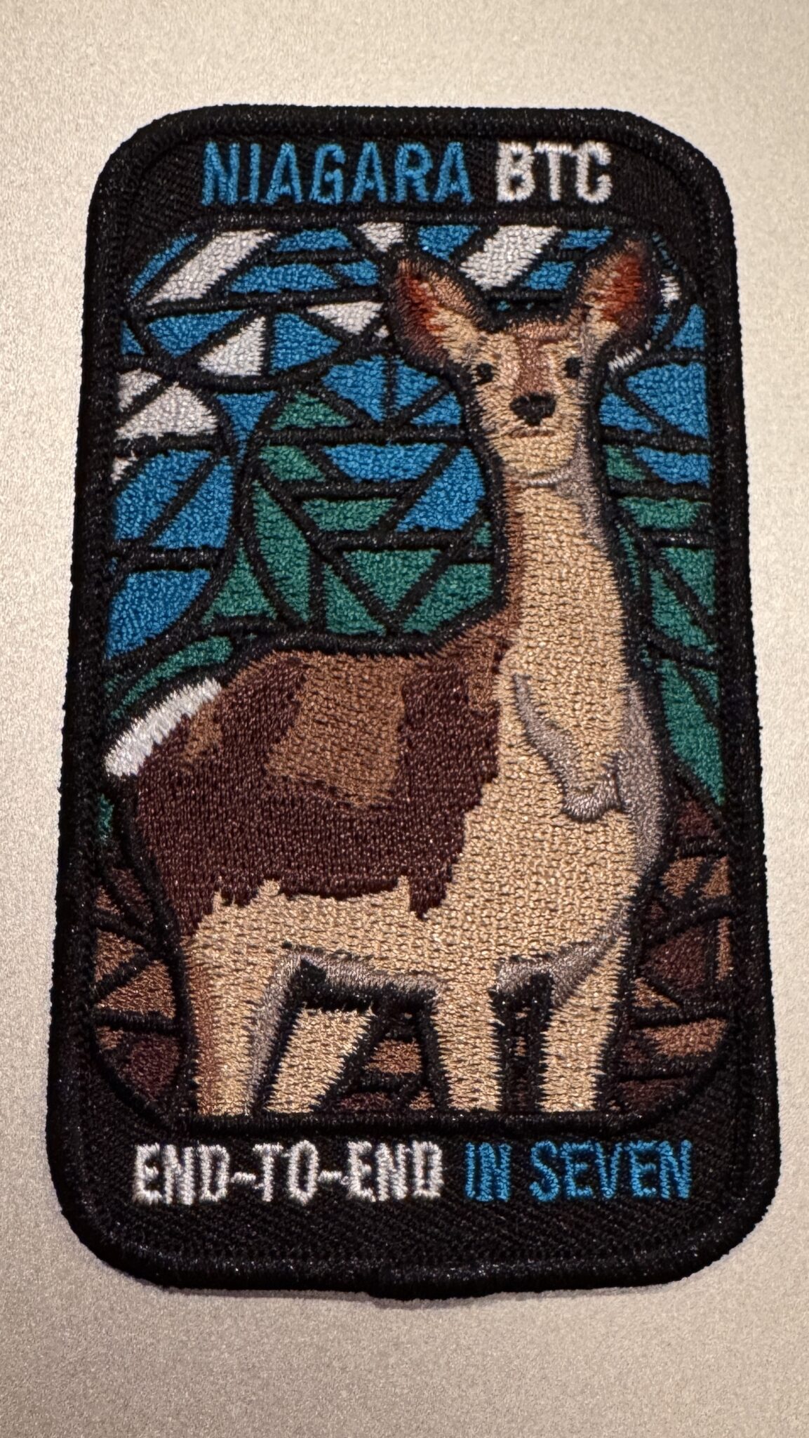
Niagara Stained Glass E2E in 6 (3 weekends)
https://hikesstaging.brucetrail.org/event/niagara-stained-glass-e2e-in-6-3-weekends/Sorry, the registration cut-off time for this hike has been reached.Not a member? Click here to join today!Hosting Club: Niagara, Iroquoia
Category: Stained Glass Badge End to End Fundraiser Hike
Location (Google Maps): Various locations going from west to east. The schedule will be mailed to registered hikers on January 2 (or earlier upon request).Hike Leader(s): Freddy Wang Click here to contact Hike Leader(s)
Pace: Brisk – 4 to 5 km/hr
Terrain: Dependent on Conditions, Moderate – Some hills and/or some poor footing
Distance: Generally 13-18 kmDescription
OverviewThis is a special series of 6 hikes to complete the Niagara section of the Bruce Trail over three weekends (January 11, 18 and 25). There is an accomplishment badge, included in the registration fee – which was designed by Joe Borges and features the White-Tailed Deer. The fee goes towards supporting the Niagara Bruce Trail Club, which in turn supports the mission of the Bruce Trail Conservancy, which is: “Preserving a ribbon of wilderness, for everyone, forever.”
For this E2E in 6, we will be following the main trail eastbound starting in Grimsby and finishing in Queenston Heights. Please note that you are signing up for the entire series of six hikes as a Group Hike. This series is geared to experienced hikers with the expectation of a 4.0 to 5.0 km/hr pace maintained over a 13 to 18 km hike.
This hike is intended to be at a Brisk pace. Please be honest about your degree of physical fitness prior to registration. It is a group hike so it is important you are able to keep pace with the person in front of you.
Hikers will be expected to wear proper hiking footwear and layered clothing. Sufficient snacks, water (preferably warm), hiking poles, and weather-appropriate gear are recommended. Icers may be necessary on certain days.
A maximum of 1 of the 6 hikes can be self-completed as a result of scheduling challenges. You must still complete the distance you have missed. If you miss more than one but still complete the distances on your own, you may apply for the Niagara Club’s regular or Winter End to End badge.
Please note there are no refunds!
TRANSPORTATION
This series will require car shuttling, so you must be willing to drive or to be a passenger. The route has been selected to avoid the need for paid parking.
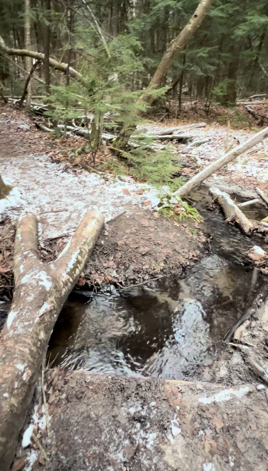
Joker Hill
https://hikesstaging.brucetrail.org/event/joker-hill/Sorry, the registration cut-off time for this hike has been reached.Not a member? Click here to join today!Hosting Club: Niagara, Toronto
Category: Hike
Location (Google Maps): 17100 Bathurst St, Newmarket, ON L3X 1Y6Hike Leader(s): Mehrnoush Ahmadi Click here to contact Hike Leader(s)
Pace: Medium
Terrain: Moderate, Strenuous
Distance: ~8kmDescription
I invite you to explore Jokers Hill! Enjoy peaceful trails, beautiful landscapes, and the perfect setting for a refreshing outdoor adventure. Take a break and reconnect with nature today!
• Please dress appropriately for the weather. Waterproof hiking boots, ice cleats, and trekking poles are required. A windproof jacket and gaiters are recommended.
• We will have short water breaks and a 15-minute snack break.
Everyone is welcome!
See you there!9:00 In & Around Port Weller on Several Lakefront Trails
https://hikesstaging.brucetrail.org/event/900-in-around-port-weller-on-several-lakefront-trails/Sorry, the registration cut-off time for this hike has been reached.Not a member? Click here to join today!Hosting Club: Niagara
Category: Loop
Location (Google Maps):Happy Rolph’s Animal Farm; 650 Read Rd., St Catharines
Hike Leader(s): Karen Couch Click here to contact Hike Leader(s)
Pace: Medium
Terrain: Easy
Distance: 9 kmsDescription
This hike follows several trails maintained by the City of St. Catharines. Birders should bring binoculars as we will follow a portion of the Lake Ontario shoreline.Trails are generally wide dirt paths.
Prepare for the wind chill as much of the hike is on open parkland.
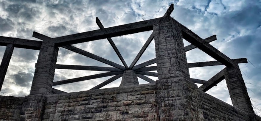
CANCELLED - Chedoke and Durand for Coffee
https://hikesstaging.brucetrail.org/event/chedoke-and-durand-for-coffee/Sorry, the registration cut-off time for this hike has been reached.Not a member? Click here to join today!Hosting Club: Iroquoia
Category: General Hike
Location (Google Maps): Chedoke Parking Lot, Hamilton, ONHike Leader(s): Mike Gill Click here to contact Hike Leader(s)
Pace: Medium – 3 to 4 km/hr
Terrain: Easy – Mostly flat and usually good footing
Distance: 9kmDescription
Sorry to cancel the hike. I’ve been feeling off for the past 24 hours and have now discovered that I’m running a fever.Registered hikers should have received a notice by email.
-Mike, Hike Leader BTC
———————
We’ll head up the Escarpment to West 5th and return through the Durand neighbourhood where we’ll pause for a rejuvenating coffee at Durand Coffee along the way.
BE SURE TO…
- dress for the weather
- wear appropriate footwear
- bring icers
- bring water
Sorry…no dogs, please.
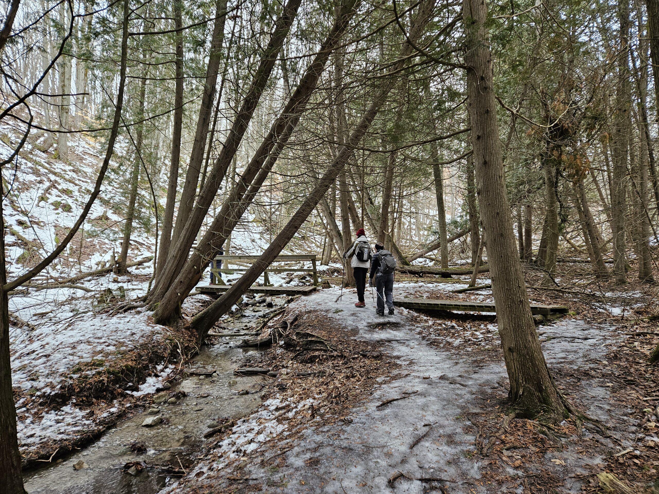
Saturday Shorts: Hockley Valley Provincial Nature Reserve
https://hikesstaging.brucetrail.org/event/saturday-shorts-hockley-valley-provincial-nature-reserve/Sorry, the registration cut-off time for this hike has been reached.Not a member? Click here to join today!Hike open to BTC Members only.
Hosting Club: Caledon Hills
Category: General
Location (Google Maps): Meet at 10 am at the parking area (10 cars) on 3rd Line, north of Hockley Road. (Note: We are not meeting at the main parking area on Hockley Road. Go north on 3rd Line. The parking area is on the east side of the road.) It is best to aim for arriving around 9:45, so we can start hiking as close to 10 am as possible. Thanks!Hike Leader(s): Dan Revington; Elizabeth Ganong Click here to contact Hike Leader(s)
Pace: Medium – 3 to 4 km/hour
Terrain: Moderate – some hills and/or some poor footing, Strenuous – hilly with steep climbs and some poor footing
Distance: Approximately 4 kmDescription
Looking to get out on a Saturday but not give up your whole day? Saturday Shorts, a hiking series, will get you out in a small group on a short hike. This Saturday’s hike is a hilly challenge as we use side trails and the main trail to make a 4 km loop in the Hockley Valley Nature Reserve. Be prepared for winter conditions by bringing warm gear, poles, and icers. You are encouraged to bring water and a snack. No dogs please.The hike leader for this hike is Dan Revington. Registrants can expect a reminder/update message from Dan one or two days before the hike.
If desired, this hike may be used towards the Caledon Winter Hiking Badge (5 winter hikes in the Caledon section that are 1 ½ hours or longer in length). Please keep a log of your hikes and follow the directions on the CHBTC website under Club Badges to receive your badge.

Urban Walk: Waterfront Trail 1/11 - Rattray Marsh
https://hikesstaging.brucetrail.org/event/urban-walk-waterfront-trail-1-11-rattray-marsh-2/Sorry, the registration cut-off time for this hike has been reached.Not a member? Click here to join today!Hosting Club: Toronto
Category: Urban Walk
Location (Google Maps): Mississauga Waterfront TrailHike Leader(s): Brian Rideout Click here to contact Hike Leader(s)
Pace: Moderate (3-4 km/hr)
Terrain: Flat
Distance: 9.3 kmDescription
Please join me at Union Station under the clock inside the Great Hall no later than 9:00 am. We will take the 9:14 train to Clarkson, arriving 9 :51 am. If you want to meet us in Clarkson be there at that time. We start hiking at 10:00 am. Consider purchasing the $10 day pass for the GO train for use with your smart phone. Some of you may find the regular senior rate is cheaper.We will hike from Clarkson to Port Credit through Rattray Marsh and along the shoreline. The estimated distance is 9.9 km. Here is an online map of our route Rattray Marsh to Port Credit
Bring a snack, at least 2 liters of water, and icers. Dress for cold weather.
Winter Badge Series Hike #1 of 4
https://hikesstaging.brucetrail.org/event/winter-badge-series-hike-2-of-4/Sorry, the registration cut-off time for this hike has been reached.Not a member? Click here to join today!Hosting Club: Dufferin Hi-Land
Category: General Hike
Location (Google Maps): Map 20 Km 12.2 (Ed. 31) ( 30th Sideroad Mono On 500m east of Hurontario )Hike Leader(s): Bryan and Carol Foley Click here to contact Hike Leader(s)
Pace: Leisurely
Terrain: Moderate
Distance: 6.5 kmDescription
Start 6:30 pm PROMPT ! NO WAITING FOR LATE COMMERS Please arrive by 6:15pm Roadside Parking on south side of 30th Sideroad only. Mind the ditches. In and back hike. Bring Snack, Water, Headlamp ( Flashlight ) , Dress for the weather , Snow Shoes or Icers may be required If in doubt contact hike leader.