
Hike Schedule
Join us for a hike! Registration required.
All hikes available to BTC members. Some hikes are open to non-members.
See Refund Policy for Paid Hikes >
TIP: The calendar view displays up to 7 hikes on a day, but often there are more. Click “View more events” to see them all.
Categories
- 19January 19, 2025
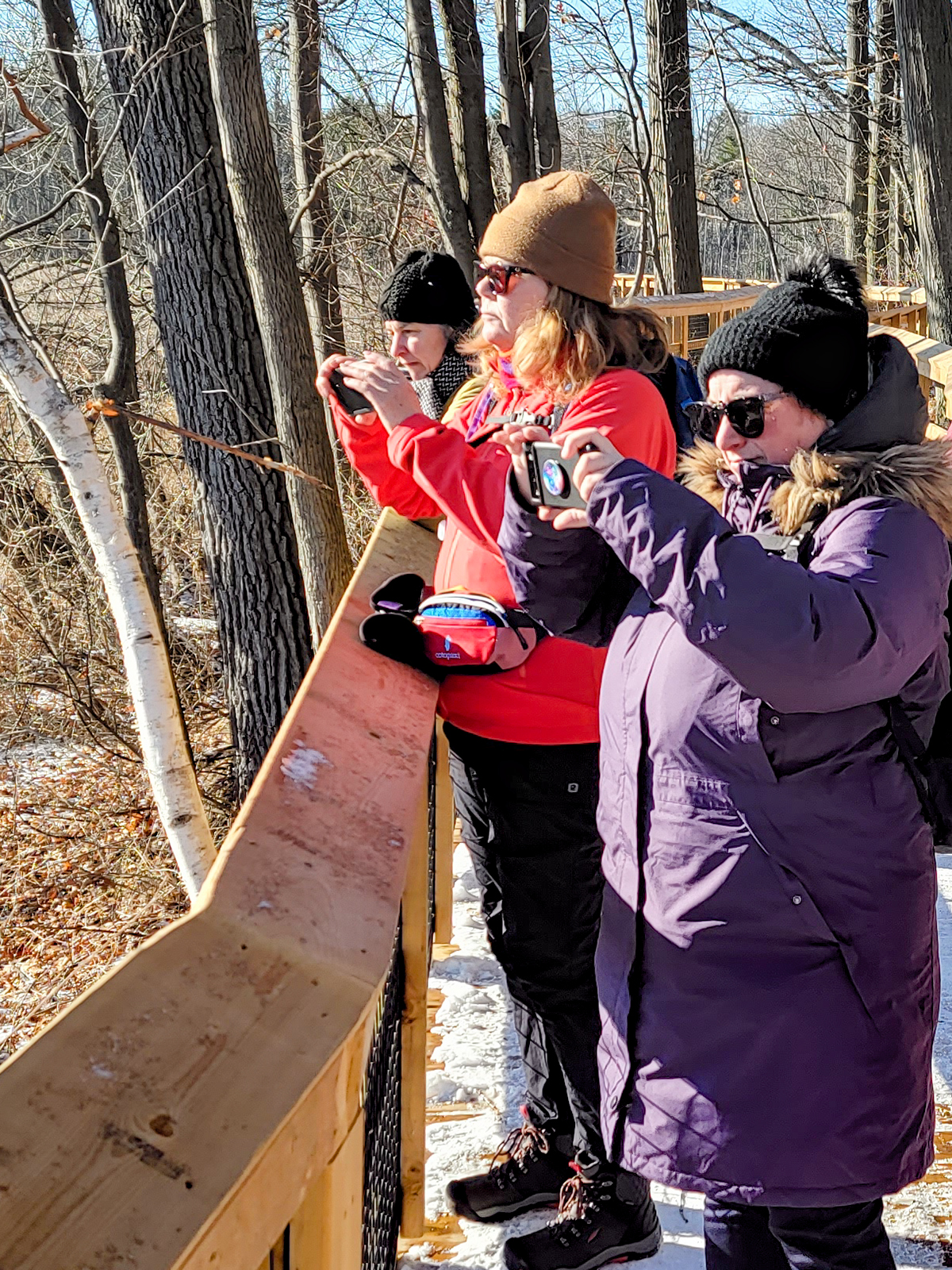
Urban Walk: Waterfront Trail 1/11 - Rattray Marsh
https://hikesstaging.brucetrail.org/event/urban-walk-waterfront-trail-1-11-rattray-marsh/Sorry, the registration cut-off time for this hike has been reached.Not a member? Click here to join today!Hosting Club: Toronto
Category: Urban Walk
Location (Google Maps): Mississauga Waterfront TrailHike Leader(s): Brian Rideout Click here to contact Hike Leader(s)
Pace: Moderate (3-4 km/hr)
Terrain: Flat
Distance: 9.3 kmDescription
Please join me at Union Station under the clock inside the Great Hall no later than 9:00 am. We will take the 9:14 train to Clarkson, arriving 9 :51 am. If you want to meet us in Clarkson be there at that time. We start hiking at 10:00 am. Consider purchasing the $10 day pass for the GO train for use with your smart phone. Some of you may find the regular senior rate is cheaper.We will hike from Clarkson to Port Credit through Rattray Marsh and along the shoreline. The estimated distance is 9.9 km. Here is an online map of our route Rattray Marsh to Port Credit
Bring a snack, at least 2 liters of water, and icers. Dress for cold weather.
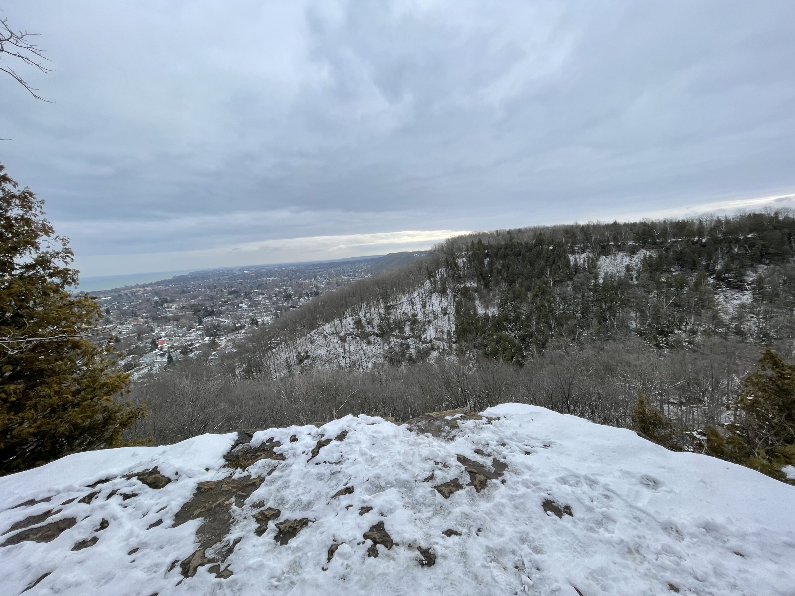
Sunday Ramble - Beamer
https://hikesstaging.brucetrail.org/event/sunday-ramble-beamer/Sorry, the registration cut-off time for this hike has been reached.Not a member? Click here to join today!Hosting Club: Iroquoia
Category: General Hike
Location (Google Maps): Grimsby Lions Club Pool parking lotHike Leader(s): Carol Swanson Click here to contact Hike Leader(s)
Pace: Medium – 3 to 4 km/hr
Terrain: Easy – Mostly flat and usually good footing, Strenuous – Hilly with steep climbs and some poor footing
Distance: 5kmDescription
Bring water, snack and icers.
Pine River Discovery Hike
https://hikesstaging.brucetrail.org/event/pine-river-discovery-hike-3/Sorry, the registration cut-off time for this hike has been reached.Not a member? Click here to join today!Hosting Club: Dufferin Hi-Land
Category: General Hike
Location (Google Maps): Second Line and 15 Sideroad in Mulmur Ontario. From Orangeville, head north on hwy #10 to hwy #89. Turn left and head west to county road #124. Turn right and head north to 15 Sideroad. Turn right and follow to 2nd line. Parking is on the east side of 2nd Line, just north of 15 Sideroad. Do not try and come across 15 sideroad from east to west. It is a snowmobile trail at this time of the year.Hike Leader(s): Tom Thayer, Susan Bate Click here to contact Hike Leader(s)
Pace: Medium
Terrain: Dependent on Conditions, Moderate
Distance: 6 kmDescription
We will be exploring the winter wonders that the Pine River Nature Reserve offers during the winter.This is a snowshoe hike so please be sure to bring your snowshoes. Should the weather not behave and snow is not in abundance, we will still do the hike but icer’s would be recommended in this case as there is sure to still be icy patches within the reserve.
Bring snowshoes, icer’s, mitts, hats, food, and dress according to the weather.
- 20January 20, 2025No events
- 21January 21, 2025
Urban Walk: Valley View Park Thornhill
https://hikesstaging.brucetrail.org/event/urban-walk-valley-view-park-thornhill-48/Sorry, the registration cut-off time for this hike has been reached.Not a member? Click here to join today!Hosting Club: Toronto
Location (Google Maps): Parking lot is inside Sycamore Drive East of Bayview , north of Bayview Reservoir Park Playground
Hike Leader(s): Mohammad Aghamiri Click here to contact Hike Leader(s)
Pace: Moderate (3-4 km/hr)
Terrain: Level 2 (Intermediate – some hills and uneven surfaces, rocks and roots underfoot)
Distance: 7-8 kmDescription
We will explore Valleyview and Maple View parks, and walk along German Mill Creak,In return we stop in Huntington park and have snack under beautiful shed ,Even it is considered Urban walk, but it is urban hike as we have some up and down hills and tree roots, please bring your Ice cleats and hiking poles
CANCELLED 9:00 Long Hike Wiley Road Short Hills
https://hikesstaging.brucetrail.org/event/900-long-hike-wiley-road-short-hills-41/Sorry, the registration cut-off time for this hike has been reached.Not a member? Click here to join today!Hosting Club: Niagara
Location (Google Maps):
Short Hills Wiley Road Entrance
Hike Leader(s): Alan Laver Click here to contact Hike Leader(s)
Pace: Medium
Terrain: Moderate
Distance: 10kmDescription
Explore Short Hills and the majestic side trails of Scarlett Tanager, Hemlock. Swayze Falls and Terrace. Register for each hikeBring Poles, Icers, snack, and dress for the weather
9:15 Short hike, Pelham Road, Short Hills
https://hikesstaging.brucetrail.org/event/915-short-hike-pelham-road-short-hills-8/Sorry, the registration cut-off time for this hike has been reached.Not a member? Click here to join today!Hosting Club: Niagara
Location (Google Maps): Short a hills Provincial Park, Pelham Road entrance
Hike Leader(s): janet davey Click here to contact Hike Leader(s)
Pace: Medium
Terrain: Moderate
Distance: 6 kmsDescription
Hike the main and side trails in Short Hills Provincial Park. Bring hiking boots and water. Keep a pair of icers in your car in case of icy conditions.Hockley Valley - Dunby Rd/Cam Snell Side Trails
https://hikesstaging.brucetrail.org/event/hockley-valley-dunby-rd-cam-snell-side-trails-3/Sorry, the registration cut-off time for this hike has been reached.Not a member? Click here to join today!Hosting Club: Dufferin Hi-Land
Category: Tuesday Hike
Location (Google Maps):Caledon Hills Section, Hockley Valley, Map 18, Meet at the parking lot on the south side of Dunby Rd, Km 68.0
Hike Leader(s): Tony Evangelista; Inge Eckerich; Julie Daley, Les Babbage Click here to contact Hike Leader(s)
Pace: Leisurely
Terrain: Moderate, Slippery Sections Likely
Distance: 6.5 km, short hike 4 kmDescription
We will meet at the roadside parking on Dunby Rd, and hike south along the Main Trail for 2.5 km. We will then follow the Cam Snell Side Trail loop (2 km), and return on the Main Trail. For those wishing a shorter hike, return to the parking before the Side Trail (4 km). Please come prepared for the weather. Snowshoes or icers may be needed. Hiking poles are recommended. Bring snack and water. - 22January 22, 2025
Margaret Paull
https://hikesstaging.brucetrail.org/event/margaret-paull-2/Sorry, the registration cut-off time for this hike has been reached.Not a member? Click here to join today!Hosting Club: Blue Mountains
Category: Organized Hike
Location (Google Maps): Hike meets in the parking lot behind Tim Hortons on First St. in Collingwood.Hike Leader(s): Myra Campbell Click here to contact Hike Leader(s)
Pace: Medium – 3 to 4 km/hr
Terrain: Moderate – Some hills and/or some poor footing
Distance: 5 kmDescription
CANCELLEDMargaret Paull Side Trail
We will drive via Grey Rd 119 to the end of the 6th Line in the Beaver Valley Section. We will hike along the Bruce Trail to km11.3
where it joins up with the Margaret Paull ST. We will follow the ST back to the white blazed trail, then return to the cars. Bring
water and a snack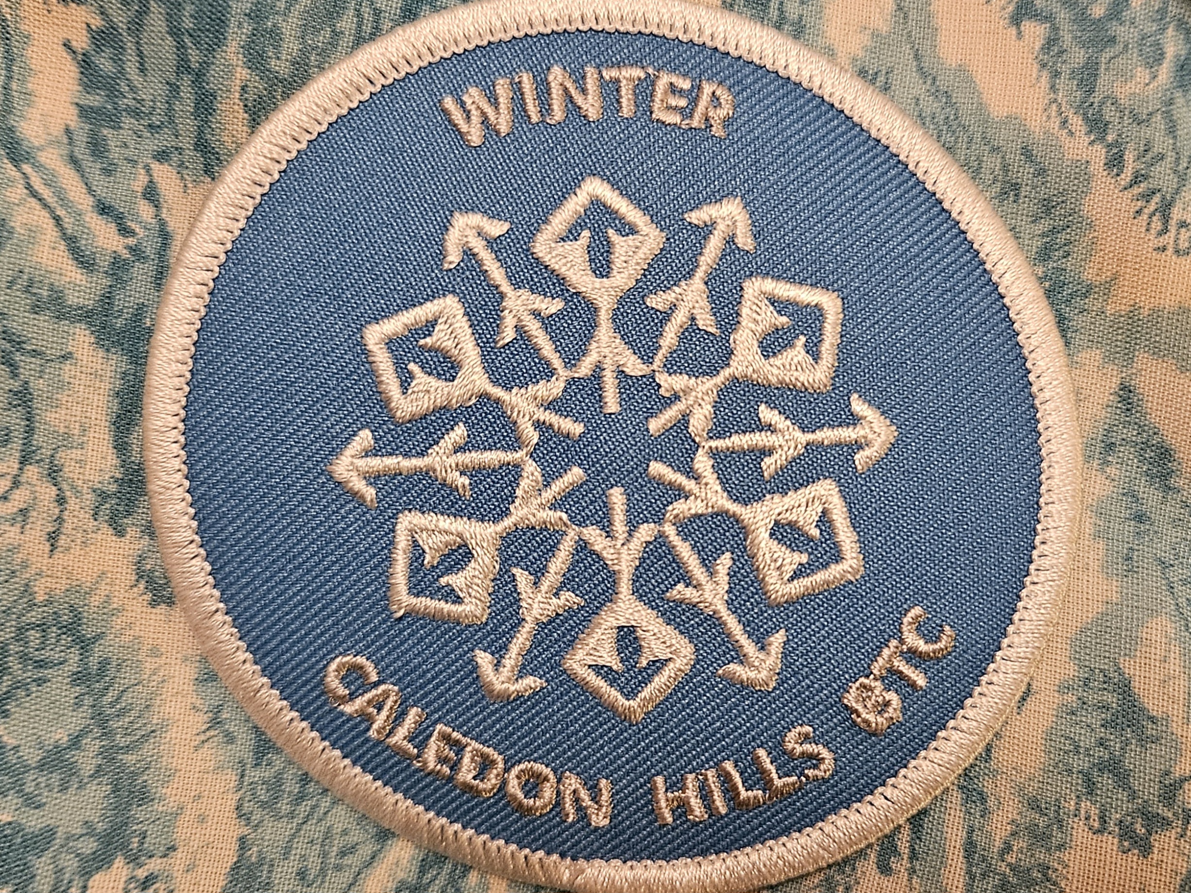
Cancelled: Winter Badge Wednesdays: Hockleycrest
https://hikesstaging.brucetrail.org/event/winter-badge-wednesdays-hockleycrest/Sorry, the registration cut-off time for this hike has been reached.Not a member? Click here to join today!Hike open to BTC Members only.
Hosting Club: Caledon Hills
Category: General
Location (Google Maps): Meet at 10 am at the Mono 5 Sideroad parking area at km 45.4 on the north side of the road where the Trail crosses. This is east of Airport Road. It is best to aim for arriving around 9:45, so we can start hiking as close to 10 am as possible. Thanks!Hike Leader(s): Jennie Greenfield; Elizabeth Ganong Click here to contact Hike Leader(s)
Pace: Medium – 3 to 4 km/hour
Terrain: Moderate – some hills and/or some poor footing
Distance: Approximately 5 kmDescription
Sorry this hike has been cancelled due to the expected extreme cold on Wednesday morning.Looking to get outside and enjoy nature in another season? You may wish to join in on one Wednesday hike in this winter series or all five! Complete all five as part of the series or do a combination of hikes within the series and your own winter hikes, and you will be eligible to receive the Caledon Winter Hiking Badge (further details below and on the CHBTC website under Club Badges).
Following the main Bruce Trail and side trails, this Wednesday’s hike takes us through Hockleycrest. Be prepared for winter conditions on our approximately 5 km route by bringing warm gear, poles, and icers. You are encouraged to bring water and a snack. No dogs please.
The hike leader for this hike is Jennie Greenfield. Registrants can expect a reminder/update message from Jennie one or two days before the hike.
If desired, this hike may be used towards the Caledon Winter Hiking Badge (5 winter hikes in the Caledon section that are 1 ½ hours or longer in length). Please keep a log of your hikes and follow the directions on the CHBTC website under Club Badges to receive your badge.
Snowshoe/Ski at MacGregor Point Provincial Park
https://hikesstaging.brucetrail.org/event/snowshoe-ski-at-macgregor-point-provincial-park/Sorry, the registration cut-off time for this hike has been reached.Not a member? Click here to join today!Hosting Club: Sydenham
Category: Snowshoe Hike
Location (Google Maps): Visitor Center in MacGregor Point Provincial Park, 1593 Bruce Road 33, south of Port Elgin. Day use fee appliesHike Leader(s): Danuta Valleau Click here to contact Hike Leader(s)
Pace: Leisurely: 3 km/h or less
Terrain: Easy: Mostly flat and good footing.
Distance: 3 to 4 kmDescription
Depending on snow conditions, we will walk or snowshoe the Park trails. Day use fees apply with discounts for Seniors. Option to bring your lunch or food to share around a campfire after the hike. If you’re interested in using the skating loop, check with Park Office beforehand to make sure it’s open. There are also set ski trails when there is sufficient snow.Winter Wednesday Walkers - Kolapore East CANCELLED
https://hikesstaging.brucetrail.org/event/winter-wednesday-walkers-kolapore-east-2/Sorry, the registration cut-off time for this hike has been reached.Not a member? Click here to join today!Hosting Club: Beaver Valley
Location (Google Maps): Meet in the Kolapore Skiers parking lot on Grey County Road 2, 750 m south of km 23.8, Map 25 Edition 31
Hike Leader(s): Glenda Collings Click here to contact the hike leader.
Pace: Medium
Terrain: Moderate
Length of Hike: approx. 5 km returnDescription
This is an in and out hike, travelling along rural fields and through forests and back to our cars. On winter hikes we may encounter bare ground, light snow, deep snow, or ice. Please bring snowshoes and icers to our Winter Wednesday Walkers outings. Wear appropriate clothing for the weather plus water and a snack.COVID-19 Precautions Before, During and After your Hike
- Each hiker joining a Bruce Trail Club organized hike must perform a self-screening check before hiking.
Find Ontario’s self-assessment tool here: https://covid-19.ontario.ca/self-assessment/ - If you are experiencing COVID-19 symptoms, stay home.
Other Guidelines
- Arrive 15 minutes before the start of the hike.
- Wear sturdy footwear and appropriate attire for the weather and the terrain.
Hiking poles are a good idea in any season, especially if the terrain is rocky or slippery. In winter, snowshoes or icers/crampons are needed when conditions dictate.
Wearing appropriate clothing and footwear prevents injuries and shows consideration for a safe and positive group hiking experience. - Always carry I.D. and your health card.
- Bring sufficient water and snacks (or lunch if indicated). A minimum of 1L of water is recommended on all hikes, and 3L is recommended for long, challenging hikes in the heat of the summer.
- Bring sunscreen and insect repellent (for spring and summer hikes).
- Bring your own first aid kit.
- Please leave dogs at home.
- Each hiker joining a Bruce Trail Club organized hike must perform a self-screening check before hiking.
- 23January 23, 2025

Frosty Five Blues Series 2/5
https://hikesstaging.brucetrail.org/event/frosty-five-blues-series-2-5/Sorry, the registration cut-off time for this hike has been reached.Not a member? Click here to join today!Hosting Club: Caledon Hills
Category: General
Location (Google Maps): Meet at the Hockley Road parking lot on the north side of Hockley Road at the Hockley Road Side Trail. 43.972857, -80.056330 (Map 18, Edition 31)Directions: From ON-10 turn east onto Hockley Rd/Dufferin County Rd 7. Drive for 5.1 kilometres.
Hike Leader(s): Sandy Green Click here to contact Hike Leader(s)
Pace: Medium – 3 to 4 km/hour
Terrain: Strenuous – hilly with steep climbs and some poor footing
Distance: 11.5 kilometresDescription
Beat the winter blues! Register individually for one, a few, or all of the Frosty Five Blues hikes. Participants who complete all five hikes are eligible to receive a CHBTC Winter badge and new Sideways badge on the final hike. Hike 2 explores trails in the Hockley Valley Provincial Nature Reserve. Bring your choice of hydration and snacks. Hiking boots and icers/crampons are required. See Jan. 9, 30, Feb. 6 & 13 for details pertaining to the other hikes in the series. (Note: If you wish to purchase badges, the cost of each badge is $10.00 for BTC members and $15.00 for non-members.)Urban Walk: Valley View Park Thornhill
https://hikesstaging.brucetrail.org/event/urban-walk-valley-view-park-thornhill-49/Sorry, the registration cut-off time for this hike has been reached.Not a member? Click here to join today!Hosting Club: Toronto
Location (Google Maps): Parking lot is inside Sycamore Drive East of Bayview , north of Bayview Reservoir Park Playground
Hike Leader(s): Mohammad Aghamiri Click here to contact Hike Leader(s)
Pace: Moderate (3-4 km/hr)
Terrain: Level 2 (Intermediate – some hills and uneven surfaces, rocks and roots underfoot)
Distance: 7-8 kmDescription
We will explore Valleyview and Maple View parks, and walk along German Mill Creak,In return we stop in Huntington park and have snack under beautiful shed ,Even it is considered Urban walk, but it is urban hike as we have some up and down hills and tree roots, please bring your Ice cleats and hiking poles
9:00 am Long Hike Cave Spring NEW LOCATION
https://hikesstaging.brucetrail.org/event/900-am-long-hike-cave-spring-new-location-8/Sorry, the registration cut-off time for this hike has been reached.Not a member? Click here to join today!Hosting Club: Niagara
Location (Google Maps):
Cave Spring Conservation Area
Pace: Medium
Terrain: Moderate
: 10kDescription
From Cave Spring Conservation Area explore the trail network on the escarpment You must register for each hike. Bring Poles, snack and a drink and dress for the weatherHiking Around Jordan
https://hikesstaging.brucetrail.org/event/hiking-around-jordan-19/Sorry, the registration cut-off time for this hike has been reached.Not a member? Click here to join today!Hosting Club: Niagara
Location (Google Maps): Shoarishon Park (formerly known as Jordan Hollow)
Hike Leader(s): Bill Russell Click here to contact Hike Leader(s)
Pace: Medium
Terrain: Moderate
Distance: 7 kmDescription
Hike various trails in Jordan (Balls Falls, Jim Rainforth Trail and Bailey Bridge through the village of Jordan)
RBG Arboretum
https://hikesstaging.brucetrail.org/event/rbg-arboretum/Sorry, the registration cut-off time for this hike has been reached.Not a member? Click here to join today!Hosting Club: Iroquoia
Category: Thursday Group
Location (Google Maps): RBG ArboretumHike Leader(s): Colleen Mabalay Click here to contact Hike Leader(s)
Pace: Medium – 3 to 4 km/hr
Terrain: Easy – Mostly flat and usually good footing, Moderate – Some hills and/or some poor footing
Distance: Approx 6kmDescription
Need RBG parking pass or pay for parking.Bring water, snack and icers.
Sydenham Nature Reserve Side Trail
https://hikesstaging.brucetrail.org/event/sydenham-nature-reserve-side-trail/Sorry, the registration cut-off time for this hike has been reached.Not a member? Click here to join today!Hosting Club: Sydenham
Category: Snowshoe Hike
Location (Google Maps): Roadside Parking on County Road 18, just east of Rockford, where it meets the rail trail (Keeling Side Trail).Hike Leader(s): Franziska Edney Click here to contact Hike Leader(s)
Pace: Leisurely: 3 km/h or less
Terrain: Easy: Mostly flat and good footing., There might be icy and slippery sections., There might be muddy sections.
Distance: 4.6 kmsDescription
This 3.6 km loop was donated to the BTC several years ago, it offers us a variety of terrain, but is mostly flat and easy to snow shoe. We start on County Road 18, walk along the rail trail and then hike the loop of the Sydenham Nature Trail, along some fields and through a variety of forests. If there is not enough snow for snow shoeing, please bring good footwear, the trail might then have some wet, muddy sections. Map 32 - 24January 24, 2025

Winterloops #2 - Rattlesnake Point to Crawford Lake and back
https://hikesstaging.brucetrail.org/event/winterloops-2-rattlesnake-point-to-crawford-lake-and-back/Sorry, the registration cut-off time for this hike has been reached.Not a member? Click here to join today!Hosting Club: Iroquoia
Category: General Hike
Location (Google Maps): Rattlesnake Point Conservation Area – Appleby Line – Reservations RequiredHike Leader(s): Pati Greenwood, Jeff Dowsett Click here to contact Hike Leader(s)
Pace: Medium – 3 to 4 km/hr
Terrain: Moderate – Some hills and/or some poor footing, Slippery Sections Likely
Distance: 10.5 kmDescription
This is series of five winter loop hikes along the Bruce Trail, join us for one or all.This will be a loop hike starting and ending on the Rattlesnake Point Side Trail. We will hike along the main trail as well as the BT side trails to take us to Crawford Lake and back. Bring snacks and plenty of water. Wear layered clothing for winter conditions, bring icers and hiking poles.
Parking reservations must be obtained from Conservation Halton (https://www.conservationhalton.ca/) . Please arrive at 8:15 am as we will leave promptly at 8:30 am.
Birthday Outing at Scotsdale Farm
https://hikesstaging.brucetrail.org/event/birthday-outing-at-scotsdale-farm/Sorry, the registration cut-off time for this hike has been reached.Not a member? Click here to join today!Hosting Club: Dufferin Hi-Land
Category: General Hike
Location (Google Maps): The address for Scotsdale Farm is 13807 Trafalgar Road, Georgetown. About .5 km northeast of km 29.7, BTC Map 13. Please park in the parking lot near the heritage house.Hike Leader(s): Stuart Law Click here to contact Hike Leader(s)
Pace: Medium
Terrain: Slippery Sections Likely, Moderate
Distance: 16 kmsDescription
Join us on a 16 km loop hike of the many Side Trails of Scotsdale Farm to celebrate the birthday of a hiker who just became a senior. No gifts please although hugs welcome. This hike is the longer hike referred to in “Hike Lord” Phill Armstrong’s companion hike posting of today’s date. Optional pub stop after in Georgetown at 2:30 pm. Icers and hiking boots mandatory. Please bring a couple of snacks, a warm drink, some water and lots of smiles. Please dress in layers for the weather. Please note the earlier start time of 8:45 am.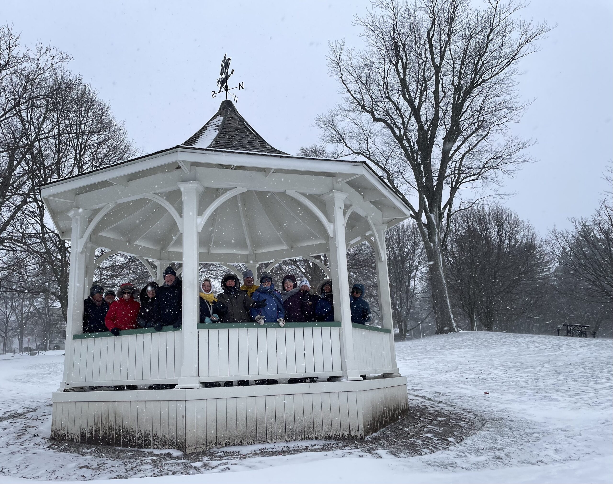
Niagara-on-the-Lake Tour
https://hikesstaging.brucetrail.org/event/niagara-on-the-lake-tour-2/Sorry, the registration cut-off time for this hike has been reached.Not a member? Click here to join today!Hosting Club: Niagara
Location (Google Maps): Park on King St near Centre St, just outside of Veteran’s Memorial Park
Hike Leader(s): Margaret Northfield Click here to contact Hike Leader(s)
Pace: Medium
Terrain: Easy
Distance: 6-7kmDescription
Each Friday we will explore different neighbourhoods, trails and parkland throughout Historic Niagara-on-the-Lake.Moderate pace with some weeks entirely on sidewalks and roads while others may include a mix of trails and paved pathways. Great way to build up endurance for longer more strenuous hikes.
Prepare for cooler windy conditions on open parkland and along Lake Ontario and Niagara River trails.
Plan to stay for conversation and a warm cup of coffee or tea at Sweets & Swirls, Community Centre, Niagara Stone Road, NOTL
Margaret Northfield & Robin Garrett
Scotsdale farm Stuart Law Birthday Hike
https://hikesstaging.brucetrail.org/event/scotsdale-farm-stuart-law-birthday-hike/Sorry, the registration cut-off time for this hike has been reached.Not a member? Click here to join today!Hosting Club: Iroquoia
Category: General Hike
Location (Google Maps): Scotsdale Farm on Trafalgar Rd north of side rd 27.Hike Leader(s): Phillip Armstrong Click here to contact Hike Leader(s)
Pace: Leisurely – 3km/hr or less
Terrain: Easy – Mostly flat and usually good footing, Slippery Sections Likely
Distance: 9kmDescription
You are invited to join us on a hike to celebrate hike leader Stuart Law’s 60th birthday. After the hike there will be the opportunity to wish him well at the St. George Pub in Georgetown at 2-30 pm just a few minutes drive away.There will be another hike for those who would like a longer more strenuous hike which will be listed in the Dufferin section of the website. Stuart will lead the long hike which will start earlier so we can all end up together for the social.
Please meet at the Bruce Trail parking area at the farm at 10-00 a.m. for a 10-15 a.m. start.
The route will be approximately 9km based on weather and trail conditions. I will avoid the most rocky areas.
It will be snowy and icy underfoot so you must have icers with you. Winter clothing necessary and spare dry clothing and shoes in your car will make the apres hike more comfortable. Bring a snack and water or warm drink
Stuart would like this to be a low key sociable event so please don’t bring gifts.

Fun Friday Hike - Wiarton/Colpoys Bay
https://hikesstaging.brucetrail.org/event/fun-friday-hike-wiarton-colpoys-bay/Sorry, the registration cut-off time for this hike has been reached.Not a member? Click here to join today!Hosting Club: Peninsula
Category: Winter Hikes
Location (Google Maps): Wiarton/Colpoys BayHike Leader(s): Marg and Owen Glendon Click here to contact Hike Leader(s)
Pace: Leisurely (2.0 – 3.0 km/h): A relaxed pace with frequent breaks and a focus on enjoyment.
Terrain: Easy: Flat forested sections or lowland trails., Moderate: Rolling hills, mild slopes and rocky paths.
Distance: ~3 1/2 kmDescription
Meet on Everett Road near Bruce County Road 9. Park on Everett Road. On this out-and-back hike (~3 1/2 km) we will head south and explore the Main Trail through the Bull Homestead meadow, mixed forest of Spirit Rock Conservation area and on to The Corran. The verdant green of winter ferns and the many different tracks of local birds and animals along the trail remind us that Mother Nature slows down, restores and rejuvenates herself during the winter months. We will maintain a steady pace briefly stopping for view of Colpoys Bay and nutrition break at The Corran – taking about 2 hour. Bring water and a snack. Winter hiking requires extra preparation! Please wear layered clothing, warm winter hiking boots, face covering (if windy), mittens and winter hat. Hiking poles and gators are recommended. Depending on weather conditions – you may need snowshoes and icers. For those wanting to warm up after the hike – join us at Lost Art Espresso in Wiarton for coffee before heading home. - 25January 25, 2025
Car Hike: Happy Valley, King city
https://hikesstaging.brucetrail.org/event/happy-valley-king-city/Sorry, the registration cut-off time for this hike has been reached.Not a member? Click here to join today!Hosting Club: Toronto
Category: Car Hike
Location (Google Maps): Please park along 16th SideroadHike Leader(s): Mohammad Aghamiri Click here to contact Hike Leader(s)
Pace: Moderate (3-4 km/hr)
Terrain: Level 2 (Intermediate – some hills and uneven surfaces, rocks and roots underfoot), Variable
Distance: 12-14 kmDescription
Will explore through the happy valley forest and visit nice look out ,We have short stops for water,bio and 15-20 minutes for snack,Please dress for winter and bring your ice cleats and hiking poles
Coach Trip: Skiers Horseshoe, Hikers McCrae Lake
https://hikesstaging.brucetrail.org/event/coach-trip-skiers-horseshoe-hikers-copeland-forest/Sorry, the registration cut-off time for this hike has been reached.Not a member? Click here to join today!Hosting Club: Toronto
Category: Coach Trip
Location (Google Maps): Horseshoe ResortHike Leader(s): Martina Furrer, Duro Vukman, George Lennon Click here to contact Hike Leader(s)
Pace: Moderate (3-4 km/hr)
Terrain: Level 2 (Intermediate – some hills and uneven surfaces, rocks and roots underfoot)Description
Join us for an awesome day of winter fun at Horseshoe Resort and in the beautiful McCrae Lake Conservation Reserve.Cross-country skiers: Glide through forests and fields on 30 km of trails groomed for classic and skate skiing. Classic and skate ski rentals available. All cross-country skiing is self-guided. Ski passes are $30 per person.
Winter hikers: Join Duro and George for a fun guided hike in beautiful McCrae Lake Conservation Reserve. The group will be out all day and eat lunch on the trail. Depending on conditions you may need snowshoes, microspikes, or just boots. Option 2: Snowshoe on your own (preferably in your own small group) on Horseshoe’s trails. Those staying on resort will need to purchase trail passes ($15); snowshoe rentals are available for those who stay on resort.
Reserve your rental equipment ahead of time at https://horseshoeresort.com/nordic-centre/cross-country-ski/
Trail fees will be collected in cash on the bus. We will leave the resort at 4 PM.
Departure 1: 9 AM, 10 York Mills Rd
Departure 2: 9:20 AM, HWY 400 and Major Mackenzie Dr Park and Ride
Please arrive at the pick-up location 15 minutes before departure. The bus waits for no one.
Policy for running this trip: To run this trip we need 40 registrants 8 days in advance. We may cancel the trip on short notice if there is substantial risk of trail or resort closure due to major weather warnings. If there is enough snow to ski and conditions are marginal or better, we will go. Marginal conditions mean not ideal skiing conditions. For example, wet snow, a thin bumpy base, or some icy patches. If TBTC cancels the trip, we will refund your coach fare. No refund if you cancel.

Fireman's Park
https://hikesstaging.brucetrail.org/event/firemans-park/Sorry, the registration cut-off time for this hike has been reached.Not a member? Click here to join today!Hosting Club: Niagara
Category: Loop
Location (Google Maps): Meet in the upper parking lot of Fireman’s Park, Mountain & Dorchester Rds, Niagara FallsHike Leader(s): Margaret Northfield Click here to contact Hike Leader(s)
Pace: Medium
Terrain: Moderate
Distance: 8-10kmDescription
We will tour around Fireman’s Park on the main trail and other trails within the park.Poles and ices may be needed depending upon the weather.
Water and snack recommended.
Dufferin Hi-Land Winter Badge Hike #2 of 4
https://hikesstaging.brucetrail.org/event/dufferin-hi-land-winter-badge-hike-2-of-4-3/Sorry, the registration cut-off time for this hike has been reached.Not a member? Click here to join today!Hosting Club: Dufferin Hi-Land
Category: Special Events
Location (Google Maps): Dufferin Hi-Land, Map 20. Meet at BTC Rock Hill parking lot on 1st Line EHS, Mulmur, 300 metres south of 10 Sideroad/County Rd 17 (Km 28.3).Hike Leader(s): Les Babbage; Helen Bailey Click here to contact Hike Leader(s)
Pace: Medium
Terrain: Moderate, Slippery and Steep Sections
Distance: 8 or 9.5 kmDescription
We will hike the Main Trail to the Oliver Creek Loop, returning by way of Moss Haven Side Trail and Main Trail. Option to continue across 1st Line to Rock Hill loop. Lots of hills, streams and crevices. Dress for winter conditions. Snowshoes and/or icers required. Hike leaders will contact registered hikers a day or two before the hike to advise on trail conditions and any weather alerts. Bring water, snacks and lunch.
Urban Walk: Waterfront Trail 3/11 - Long Branch
https://hikesstaging.brucetrail.org/event/urban-walk-waterfront-trail-3-11-long-branch-2/Sorry, the registration cut-off time for this hike has been reached.Not a member? Click here to join today!Hosting Club: Toronto
Category: Urban Walk
Location (Google Maps): Etobicoke Waterfront TrailHike Leader(s): Brian Rideout Click here to contact Hike Leader(s)
Pace: Moderate (3-4 km/hr)
Terrain: Flat
Distance: 9 kmDescription
Please join me at Kipling Station by 9:15 am. We will take the 123 bus departing 9:30 am, arriving 9:53 am. If you want to meet us at the Long Branch loop, be there by 9:53 am. We start hiking at 10:00 am.We will hike to the lake and then east to Parklawn. There we can catch a bus to Old Mill Station or take the Lakeshore bus / streetcar. The estimated distance is 9 km. Here is an online map of our route – Long Branch to Parklawn
Bring a snack, at least 2 liters of water, and icers. Dress for cold weather.

Saturday Shorts: Mono Centre
https://hikesstaging.brucetrail.org/event/saturday-shorts-mono-centre/Sorry, the registration cut-off time for this hike has been reached.Not a member? Click here to join today!Hike open to BTC Members only.
Hosting Club: Caledon Hills
Category: General
Location (Google Maps): Meet at 10 am at the parking lot at Mono Community Centre. The centre is located at 754483 Mono Centre Rd. Please park in the gravel surface lot. It is best to aim for arriving around 9:45, so we can start hiking as close to 10 am as possible. Thanks!Hike Leader(s): Dave Dawe; Elizabeth Ganong Click here to contact Hike Leader(s)
Pace: Medium – 3 to 4 km/hour
Terrain: Moderate – some hills and/or some poor footing
Distance: Between 4 and 5 kmDescription
Looking to get out on a Saturday but not give up your whole day? Saturday Shorts, a hiking series, will get you out in a small group on a short hike. This Saturday’s hike takes us to the north end of the Caledon Hills section as we use side trails and the main trail to make a 4 to 5 km route in the Whitetail Refuge Nature Reserve. Be prepared for winter conditions by bringing warm gear, poles, and icers. You are encouraged to bring water and a snack. No dogs please.The hike leader for this hike is Dave Dawe. Registrants can expect a reminder/update message from Dave one or two days before the hike.
If desired, this hike may be used towards the Caledon Winter Hiking Badge (5 winter hikes in the Caledon section that are 1 ½ hours or longer in length). Please keep a log of your hikes and follow the directions on the CHBTC website under Club Badges to receive your badge.

Youth Hiking Program - Discovery Hike - Lindenwood Loop
https://hikesstaging.brucetrail.org/event/youth-hiking-program-discovery-hike-lindenwood-loop/Sorry, the registration cut-off time for this hike has been reached.Not a member? Click here to join today!Hosting Club: Sydenham
Category: Family Hike
Location (Google Maps):Roadside parking in the BTC parking lot on the south side of Lindenwood Sideroad.
Carpooling may be available upon request.
Hike Leader(s): Jeannine Kralt Click here to contact Hike Leader(s)
Pace: Leisurely: 3 km/h or less
Terrain: Easy: Mostly flat and good footing.
Distance: 3kmDescription
This hike will be a Discovery Hike along the Lindenwood Loop – we’ll take our time, and see what we can find. We’ll hike across an alvar, through forests, and past a large glacial erratic. The Lindenwood Loop counts towards the Junior Hiker badge and is also featured in Ron Savage’s new book, Exploring Sydenham. There will be sufficient time to find the related code en route. This is also a great route to choose for the By the Seasons badge. All ages are welcome.As we’ll be taking our time, this hike is suitable for families, new hikers, and anyone wanting a more leisurely hike. We’ll likely take an hour or two, depending on the group – dress in layers, bring a snack, and wear good footwear. Given that January conditions can be variable, an email re: trail conditions to expect will be sent out prior to our hike together. Snowshoes are generally not necessary, but are available to borrow from the local library if interested.
If you are unable to register, please contact the hike leader via the link above. If there is enough snow that the BTC parking lot is closed, we’ll park roadside. Carpooling may be available upon request.
Rail Trail Hike: Winter Sunset Wander
https://hikesstaging.brucetrail.org/event/rail-trail-hike-winter-sunset-wander/Sorry, the registration cut-off time for this hike has been reached.Not a member? Click here to join today!Hosting Club: Caledon Hills
Category: Nature Walks
Location (Google Maps): Please park at Forfar Park! It’s located about 100 meters past Forfar St. E on Gartshore St., on the left-hand side.Hike Leader(s): Dylan Hubbard Click here to contact Hike Leader(s)
Pace: Leisurely – 3 km/hour or less
Terrain: Easy – mostly flat and usually good footing
Distance: 10 kmDescription
Description:
Join us for a magical winter hike from Fergus to the Belwood Lake Conservation Area! We’ll stroll 5 km to the dam to catch the sun setting over the lake’s icy expanse. After a break (length of the break TBD) to soak in the beauty (and snap some pics), we’ll head back under the soft glow of our headlamps.What to Bring:
- Warm layers: Dress for January’s chilly temps! Think moisture-wicking base layers, insulating mid-layers, and a windproof jacket.
- Traction aids: ICERS or microspikes are essential for icy patches.
- Headlamp: For our walk back after sunset.
- Water and snacks: Stay hydrated and energized!
- Good boots: Waterproof and insulated to keep your toes toasty.
Notes:
Since this is a rail trail, it’s pretty easy as there’s no change in terrain, but be prepared for cold temperatures and walking after dark. The pace will be relaxed, so we can enjoy the scenery and take it easy.PS: If enough people are interested, we could get some reservations to the Goofy Newfie or other local restaurants in town for after the hike!