
Hike Schedule
Join us for a hike! Registration required.
All hikes available to BTC members. Some hikes are open to non-members.
See Refund Policy for Paid Hikes >
TIP: The calendar view displays up to 7 hikes on a day, but often there are more. Click “View more events” to see them all.
Categories
- 06August 6, 2024
8:00 Long Hike Wiley Road Short Hills
https://hikesstaging.brucetrail.org/event/800-long-hike-wiley-road-short-hills-48/Sorry, the registration cut-off time for this hike has been reached.Not a member? Click here to join today!Hosting Club: Niagara
Location (Google Maps):
Short Hills Wiley Road Entrance
Pace: Medium
Terrain: Moderate
: 10kmDescription
Explore Short Hills and the majestic side trails of Scarlett Tanager, Hemlock. Swayze Falls and Terrace. Register for each hikeBring Poles, Sunscreen, bug spray water, snack, and dress for the weather
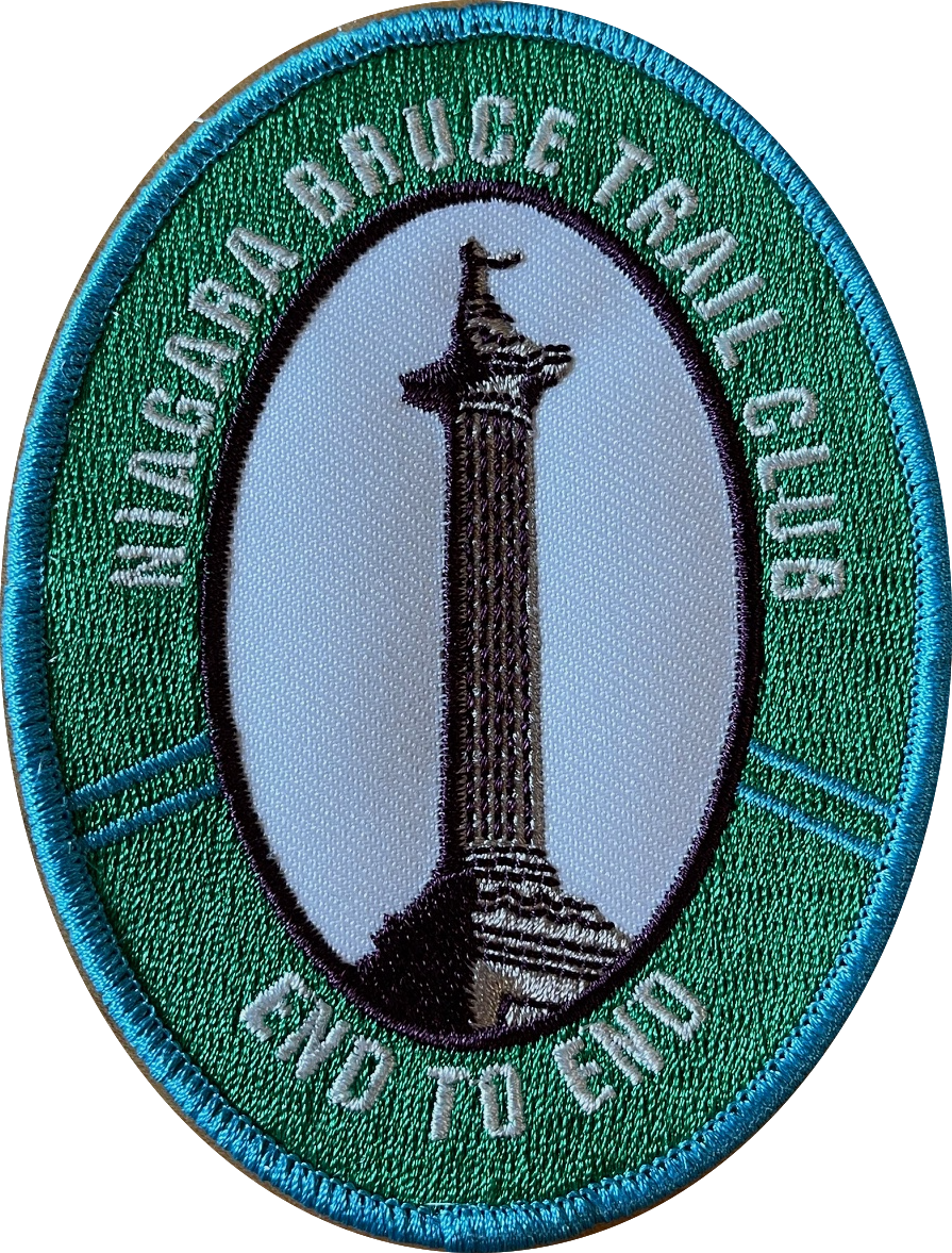
Niagara E2E #4- New Badge
https://hikesstaging.brucetrail.org/event/niagara-e2e-4-new-badge/Sorry, the registration cut-off time for this hike has been reached.Not a member? Click here to join today!Hosting Club: Niagara
Category: Car Pool
Location (Google Maps): Meet at Quarry Rd, Beamsville.Hike Leader(s): Margaret Northfield Click here to contact Hike Leader(s)
Pace: Medium
Terrain: Strenuous
Distance: 15.3kmDescription
Earn the new E2E badge by completing the Niagara Section of the Bruce Trail in 5 hikes. This series will run each Tuesday morning for 5 consecutive weeks. If you are unable to attend all the hikes you can keep a log and complete the missed hikes at another time. You will still be able to earn the badge once all the sections are complete. Badges will be available for purchase at the end of the 5th hike. $10 for members, $15 for non members.This is a carpool hike. Please arrive 15 minutes early so we can arrange carpooling. Driving is voluntary but we encourage all hikers to take their turn to help out. Bring water and a snack. The hikes go rain or shine. Poles, weather appropriate clothing, sturdy hiking shoes and bug spray are recommended.
We will carpool to Louth Conservation and hike back to the cars at Quarry Rd.
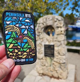
Peninsula Stained Glass Badge, Fundraiser in 8 hikes.
https://hikesstaging.brucetrail.org/event/peninsula-stain-glass-badge-fundraiser/Sorry, the registration cut-off time for this hike has been reached.Not a member? Click here to join today!Hike open to BTC Members only.
This is a Multi-Day Hike
You are signing up for the following dates and times:
2024-08-06 at 09:00
2024-08-07 at 08:30
2024-08-08 at 08:30
2024-08-09 at 08:30
2024-08-19 at 09:00
2024-08-20 at 08:30
2024-08-21 at 08:30
2024-08-22 at 08:30Hosting Club: Toronto, Peninsula
Category: Car Hike
Location (Google Maps): BlueWater park, Wiarton, km 0.0 coordinates N 44.742514,W 81.135140 map 35Hike Leader(s): Smadar Junkin Click here to contact Hike Leader(s)
Pace: Brisk
Terrain: Challenging, Variable
Distance: 24.4 kmDescription
Thank you for registering to the Stain Glass, fund raising hike of the Peninsula. This will be a fundraising hike series in 8. Each hiker will be allowed to miss one hike and make it on their. The funds for this hike will be collected by the Toronto club and it will be transferred to the Peninsula club to help maintain the trail and keep the pledge of Ribbon Of Wilderness For Everyone, Forever.
on the first hike we will shuttle to km and hike back.
hike 2- we will meet at km 44.1, Hope Bay coordinates N 44.902930,W 81.155706 map 37 and shuttle to km 24.4hike 3- we will meet at km 44.1, Hope Bay and will shuttle to km 67.9 and walk back.
hike 4- we will meet at km 87.5, Richardson Side Trail, coordinates N 45.020460,W 81.283790 map 39, we will shuttle to km 67.9 and walk back.
hike 5- we will meet at Richardson SideTrail and shuttle to km 110.6 – (may be a paid parking) and walk back.hike 6- we will meet at km 110.6 coordinates N 45.147416,W 81.338921 map 40, we will shuttle to km 125.4 Crane Lake and walk back.
hike 7- we will meet at Crane Lake, km 124.4 coordinates N 45.190813,W 81.419658, map 41 we will shuttle to Cyprus Lake, parking B. this is a paid parking and will add about 2km to the hike. We will go on the trail that leads to mars lake, km 145.5 and walk back.
hike 8- we will park in Tobermory, there are some places that are free parking, we will park in a free parking place that I will explain how to get there during the duration of the hike. We will shuttle to cypress Lake, ( paid parking) and walk back. It’s badge day at the cairn, pictures and treats.
please bring 2 or more litres of water, snacks and lunch. Everyone is expected to participate in the shuttle once or twice in the duration of the 8 days.lets go and have fun on the trail.
9:15 Short hike, Shorthills Park Pelham Rd
https://hikesstaging.brucetrail.org/event/915-short-hike-shorthills-park-pelham-rd/Sorry, the registration cut-off time for this hike has been reached.Not a member? Click here to join today!Hosting Club: Niagara
Category: Loop
Location (Google Maps): Short Hills Pelham RdHike Leader(s): Debbie Demizio Click here to contact Hike Leader(s)
Pace: Medium
Terrain: Moderate
Distance: ~6kmDescription
Hike around Short Hills Provincial Park. Please bring water, sunscreen snd insect repellent. Following the hike be sure to check yourself for ticks and clean boots to prevent the spread of invasive species.
Founders’ Footpath Finalist “A”
https://hikesstaging.brucetrail.org/event/founders-footpath-finalist-a/Sorry, the registration cut-off time for this hike has been reached.Not a member? Click here to join today!Hosting Club: Caledon Hills
Category: General
Location (Google Maps): Park at BTC 7th Line Parking Lot located 200 metres from km 43.3 off the 7th Line immediately east of Airport Road, 43.960477, -79.979773.Driving Directions:
From Airport Road/Peel Regional Road 7, turn east onto 7 Line E/7th Line EHS. Parking is on the right side. (North of Mono Mills)Hike Leader(s): Sandy Green Click here to contact Hike Leader(s)
Pace: Medium – 3 to 4 km/hour
Terrain: Moderate – some hills and/or some poor footing
Distance: 10 kilometresDescription
HIKE CANCELLED DUE TO HEAVY RAIN IN THE FORECAST. The Founders’ Footpath is a Bruce Trail Conservancy initiative to mark the upcoming 60th Anniversary of the founding of the Bruce Trail. Help the CHBTC select a section of the trail that best exemplifies the founders’ intentions. Explore Finalist A: Main Trail km 42.5 – 47.5 and Darcy’s Side Trail 0.5 km; south of 7th Line to north of 5 Sideroad; BTC Protected Areas: Humber Heights, Twin Waters Nature Reserve, Mathilda’s Way, Dr. Philip Gosling Nature Reserve, Tall Timbers, Scarlett, and Moule Easement. Bring snacks and your choice of hydration. Sturdy footwear is highly recommended. This hike can be logged towards earning the 60 for the 60th Anniversary badge. - 07August 7, 2024
Lavender
https://hikesstaging.brucetrail.org/event/lavender-6/Sorry, the registration cut-off time for this hike has been reached.Not a member? Click here to join today!Hosting Club: Blue Mountains
Category: Register in person the morning of hike.
Location (Google Maps): Hike meets in the parking lot behind Tim Hortons on First St. in Collingwood.Hike Leader(s): Mary-Lynne Chenard Click here to contact Hike Leader(s)
Pace: Medium – 3 to 4 km/hr
Terrain: Moderate – Some hills and/or some poor footing
Distance: 11.5 kmDescription
We will drive to the start of the hike at the roadside parking area near the cemetery located 1 km east of Lavender on Mulmur/Nottawasaga Townline. We will hike along the road until we reach Lavender where km 0.0 is the start of the Blue Mountains section. We will continue hiking past the bridge over the Noisy River and up to County Rd. 9 then retrace our steps. This hike offers a variety of terrain as we proceed along crevices, through forest, fields, and beautiful wetlands before reaching the Noisy River. Bring lunch and water.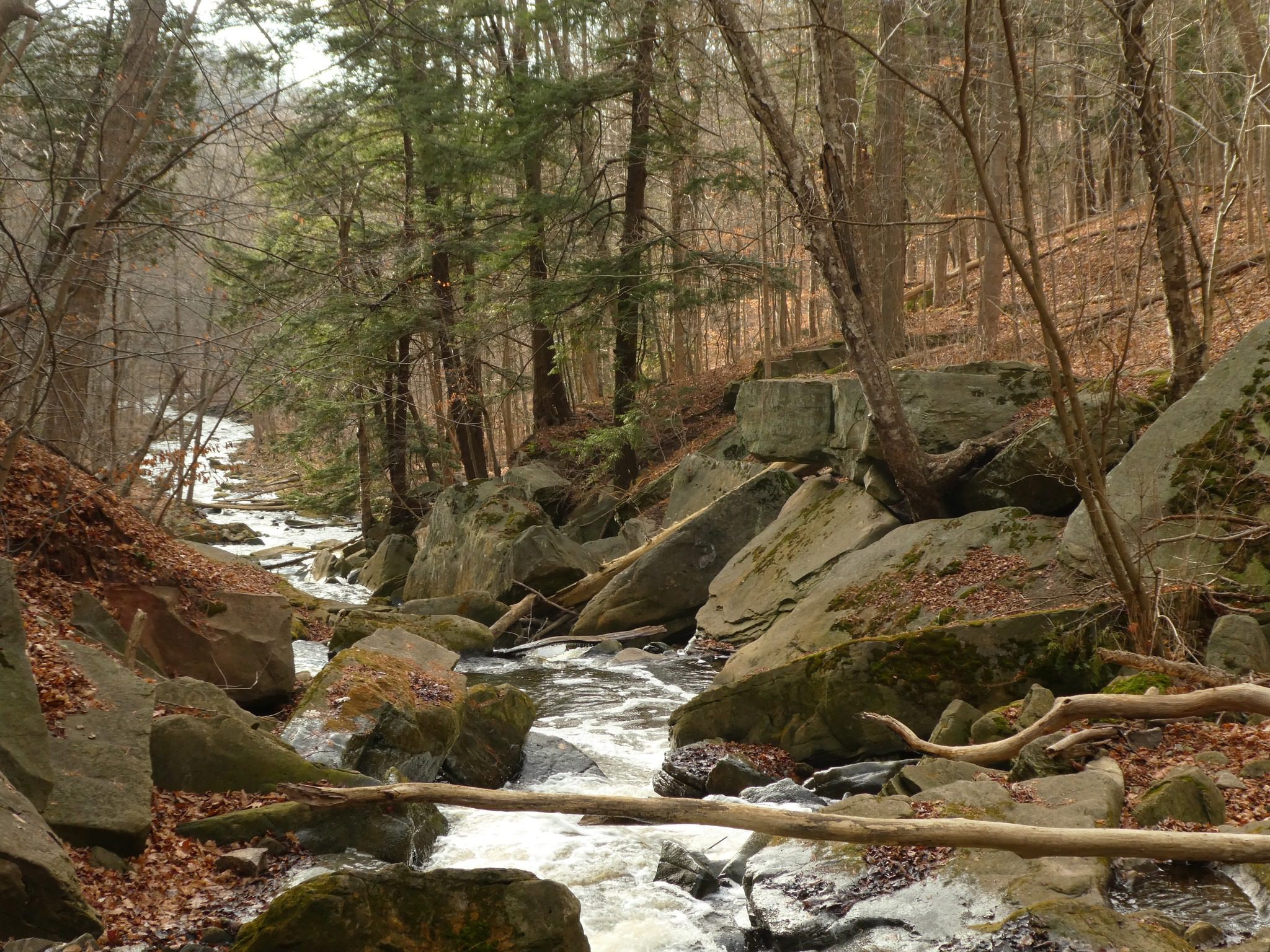
Grindstone Creek (Waterdown)
https://hikesstaging.brucetrail.org/event/grindstone-creek-waterdown-2/Sorry, the registration cut-off time for this hike has been reached.Not a member? Click here to join today!Hosting Club: Iroquoia
Category: General Hike
Location (Google Maps): Meet in the parking lot on Mill Street in Waterdown at 9:15 am or earlier. This is a small parking lot and fills up quickly.Hike Leader(s): Karen Bergmann Click here to contact Hike Leader(s)
Pace: Medium – 3 to 4 km/hr
Terrain: Strenuous – Hilly with steep climbs and some poor footing
Distance: About 8 kmsDescription
We will hike on the main trail alongside the beautiful Grindstone Creek and around a couple of the bike trails and back to the main trail. There are some steep sections along this trail and possibly some muddy spots. Bring water and bug spray/bug net.Car Hike: Midweek Fitness Walk Around Island Lake (8.5 km)
https://hikesstaging.brucetrail.org/event/car-hike-midweek-fitness-walk-around-island-lake-8-5-km/Sorry, the registration cut-off time for this hike has been reached.Not a member? Click here to join today!Hosting Club: Toronto
Category: Car Hike
Location (Google Maps):Island Lake Conservation Area (Hwy 10 and 4th Ave intersection)
Hike Leader(s): Natalia Svechnikova Click here to contact Hike Leader(s)
Pace: Moderate
Terrain: Flat
Distance: 8.3 kmDescription
Please join me for an enjoyable fitness walk on a relatively flat and easy trail around the lake in the Island Lake Conservation area. The trail has treed sections as well as boardwalks near the water, meadows with beautiful flowers and much more. We will keep some steady but still comfortable pace of approximately 3 km/h. We will have a short break on the picnic area after about 6 km. Please bring 2 L of water, sunglasses, hut and some snacks/light lunch. We will meet at the start of the trail (near the large trail map) at 4th Ave and Hwy 10 intersection. You can park anywhere at the Zehrs Orangeville, Winners or Mark’s parking lot which is just across Hwy 10,Evening Hike in Owen Sound followed by an Opportunity for Refreshments
https://hikesstaging.brucetrail.org/event/evening-hike-in-owen-sound-followed-by-an-opportunity-for-refreshments-6/Sorry, the registration cut-off time for this hike has been reached.Not a member? Click here to join today!Hosting Club: Sydenham
Category: An evening walk.
Location (Google Maps): Municipal parking lot on 1st Ave East between 8th St and 7th St Owen SoundHike Leader(s): Harriet Nixon Click here to contact Hike Leader(s)
Pace: Brisk: 4 to 5 km/h
Terrain: Moderate: Some hills and/or poor footing
Distance: Approx 5 kmDescription
Join us for an evening hike exploring Owen Sound neighbourhoods, followed by an opportunity for refreshments. No need to show up 15 minutes early for this hike, but we will leave promptly at 7 pm. - 08August 8, 2024
8:00 am Long Hike Jordan to Moyer / Louth
https://hikesstaging.brucetrail.org/event/800-am-long-hike-jordan-to-moyer-louth-74/Sorry, the registration cut-off time for this hike has been reached.Not a member? Click here to join today!Hosting Club: Niagara
Location (Google Maps):
Jordan Hollow Park 3039 King St Jordan
Pace: Medium
Terrain: Moderate
: 10kDescription
From Jordan Hollow Hike the main trail to Upper and Lower Balls Falls, Moyer Road or Louth and Return. You must register for each hike. Bring Poles, sunscreen, bug spray , snack and a drink and dress for the weather9:15 Short hike - in and around Jordan
https://hikesstaging.brucetrail.org/event/915-short-hike-in-and-around-jordan-2/Sorry, the registration cut-off time for this hike has been reached.Not a member? Click here to join today!Hosting Club: Niagara
Location (Google Maps): Sho’arishon Park (formerly Jordan Hollow)
Hike Leader(s): Bill Russell Click here to contact Hike Leader(s)
Pace: Medium
Terrain: Moderate
Distance: 6kDescription
Hike the main and side trails around Jordan and Balls Falls. Bring hiking boots, water, sunscreen and bug spray. Please arrive 10 minutes prior to start of hike.Caledon Hills End-to-End Hike 5 of 6
https://hikesstaging.brucetrail.org/event/caledon-hills-end-to-end-hike-5-of-6/Sorry, the registration cut-off time for this hike has been reached.Not a member? Click here to join today!Hosting Club: Caledon Hills
Category: End-to-End
Location (Google Maps): Meet at Creditview Rd. north of the Grange Sideroad on the Devils Pulpit Side Trail, southwest of km 5.2. Shuttle to start at Escarpment Sideroad.Hike Leader(s): Nancy Mooney Click here to contact Hike Leader(s)
Pace: Medium – 3 to 4 km/hour
Terrain: Easy – mostly flat and usually good footing, Moderate – some hills and/or some poor footing
Distance: 15.9 – 5.2 + 1.3 of side trail = 12.0 km totalDescription
This is the fifth hike of the series and follows the recent trail changes around the Forks of the Credit area.
Kilbride to Lowville
https://hikesstaging.brucetrail.org/event/kilbride-to-lowville-2/Sorry, the registration cut-off time for this hike has been reached.Not a member? Click here to join today!Hosting Club: Iroquoia
Category: General Hike
Location (Google Maps):Meeting at Park behind Kilbride Public School
Hike Leader(s): Cathie Green Click here to contact Hike Leader(s)
Pace: Medium – 3 to 4 km/hr
Terrain: Moderate – Some hills and/or some poor footing
Distance: 10-12 kmsDescription
We will meet at park behind Kilbride Public School and hike along Kilbride Street to Twiss Road and onto the main trail at 8th Line – this will meet up with the River and Ruins side trail which we will take along Bronte Creek and then follow a private trail to Lowville to snack/lunch at Lowville Park – There is an outdoor sculpture garden we can wonder through on the way -we will return by completing the River and Ruins side trail and back out onto main trail and follow blue trail- side streets back to our vehiclesMust bring Water and wear suitable clothing for weather- Lunch/snack/poles/hat/bug spray/sunscreen –
Any concerns or questions, please text or email me through this form.
- 09August 9, 2024

Niagara-on-the-Lake Tour
https://hikesstaging.brucetrail.org/event/niagara-on-the-lake-tour-58/Sorry, the registration cut-off time for this hike has been reached.Not a member? Click here to join today!Hosting Club: Niagara
Category: Urban
Location (Google Maps): Meet on King St near Centre St just outside of Veterans Memorial Park, Niagara-on-the-LakeHike Leader(s): Margaret Northfield Click here to contact Hike Leader(s)
Pace: Medium
Terrain: Easy
Distance: 6-7kmDescription
Each Friday we will explore different neighbourhoods, trails and parkland throughout Historic Niagara-on-the-Lake.Moderate pace with some weeks entirely on sidewalks and roads while others may include a mix of trails and paved pathways. Great way to build up endurance for longer more strenuous hikes.
Prepare for cooler windy conditions on open parkland and along Lake Ontario and Niagara River trails.
Plan to stay for conversation and a warm cup of coffee or tea at Sweets & Swirls, Community Centre, Niagara Stone Road, NOTL
Robin & Margaret