
Hike Schedule
Join us for a hike! Registration required.
All hikes available to BTC members. Some hikes are open to non-members.
See Refund Policy for Paid Hikes >
TIP: The calendar view displays up to 7 hikes on a day, but often there are more. Click “View more events” to see them all.
Categories
- 23June 23, 2024

CANCELLED Niagara Benchlands Badge Hike
https://hikesstaging.brucetrail.org/event/niagara-benchlands-badge-hike-4/Sorry, the registration cut-off time for this hike has been reached.Not a member? Click here to join today!Hosting Club: Niagara
Category: Hike
Location (Google Maps): We will meet at Jordan Hollow Park, King St (Hwy 81) across from Boo’s Restaurant 3039 King St, Jordan Station
After completing the Ball’s Falls hike, we will drive to Jordan Main Street Parking Lot beside RPM Bakehouse ( 43.1492718 -79.3696930) and complete the walking tour of the town.
Hikers have the option to do the next hike from Mountainview Conservation (43.157888 -79.498415) independently or with the leader on the same day.Hike Leader(s): Sam Rutherford Click here to contact Hike Leader(s)
Pace: Medium
Terrain: Moderate
Distance: 9-15 km dependent on doing 3rd hike from Mountainview Conservation Area the same dayDescription
This series of 3 hikes is a joint effort of NBTC and the Lincoln Museum to introduce hikers to the Niagara Benchlands area. We will complete the Ball’s Falls hike first, then move to the town of Jordan and explore the historical homes in town as well as the Museum. Art Lives Here is a community wide festival and art trail that celebrates the vibrant arts and culture offerings of Lincoln on the weekend June 21, 22 & 23. Costumed interpreters will be onsite at the schoolhouse that weekend to add to the fun.Please refer to the following site for badge requirements: http://niagarabrucetrail.club/wp/wp-content/uploads/2022/12/Niagara-Benchlands-Badge.pdf
It is also recommended to download the following pdf: https://qrco.de/bch3Qi and print the map on page 10 of the PDF
After these 2 sections are completed, hikers will have the option to 1) continue to Mountainview Conservation to complete the third hike with the hike leader or 2) complete this hike independently when convenient. If #2 is the choice, then hikers will need to submit the required information independently to receive the badge.
If completing all 3 hikes, then badges will be available after the third hike. Members $10, Non members $15
Scotsdale Farm the Easy Way CANCELLED. UNSETTLED WEATHER WITH A POSSIBLILTY OF THUNDERSTORMS, RAIN AND HIGH TEMPERATURES.
https://hikesstaging.brucetrail.org/event/scotsdale-farm-the-easy-way/Sorry, the registration cut-off time for this hike has been reached.Not a member? Click here to join today!Hosting Club: Iroquoia
Category: Easy Does It Hikes
Location (Google Maps): Scotsdale Farm, 13807 Trafalgar Rd. N.Hike Leader(s): Anne Armstrong Click here to contact Hike Leader(s)
Pace: Leisurely – 3km/hr or less
Terrain: Easy – Mostly flat and usually good footing
Distance: 8 – 9 km.Description
Scotsdale Farm is on of my favourite places to hike. One can follow the main Bruce Trail over some rather challenging trails or relax with some of the many side trail. We will follow the Bennett Side Trail east from the farm house and barn to where it meets 27th Side Road and then return to the farm. Snack/lunch will be beside a pleasant creek. Meet in the main parking lot at 9:45 am. for a 10:00 am. start. Bring water, a snack, sunscreen, insect repellent. Poles might be useful as there is one section with small rocks and tree roots. Depending on our timing I may extend the hike slightly. I will contact you a couple of days before the hike to give you more contact information.
Leader: Anne ArmstrongTBTC Volunteer Appreciation Day Hike (For TBTC Volunteers Only)
https://hikesstaging.brucetrail.org/event/tbtc-volunteer-appreciation-day-hike-for-tbtc-volunteers-only/Sorry, the registration cut-off time for this hike has been reached.Not a member? Click here to join today!Hosting Club: Toronto
Category: TBTC Special Events
Location (Google Maps): Terra Cotta Conservation Area. TBTC Volunteers who wish to join the hike please meet at our reserved Picnic Area (Picnic Area #1) for a 10:30 AM departure time.
There is no on-line registration for the hike – just meet us at Picnic Area #1 before 10:30 Am where we are having the Volunteer Appreciation Event and sign in.Hike Leader(s): Tom Swales Click here to contact Hike Leader(s)
Pace: Moderate
Terrain: Flat
Distance: 5 kmDescription
This is a short leisurely to moderate hike for Toronto Bruce Trail Club Volunteers attending our annual Volunteer Appreciation Day Event at Terra Cotta Conservation Area. Before lunch and group activities we will hike the McGregor Spring Trail, Vaughan Trail and Terra Cotta Lane trail in a circular route around Wolf Lake to return to our group picnc site for lunch, activites, and mix and mingle with fellow volunteers and TBTC Board Members.This hike is part of the TBTC’s Volunteer Appreciation Day Event to thank our dedicated volunteers for their service.
The TBTC hiking program will be paused this day so the board can thank our hike leaders. Our member’s understanding is appreciated.
Exploring Sydenham hikes 8 & 9
https://hikesstaging.brucetrail.org/event/exploring-sydenham-hikes-8-9/Sorry, the registration cut-off time for this hike has been reached.Not a member? Click here to join today!Hosting Club: Sydenham
Category: General Hike
Location (Google Maps):Meet in the north-east corner of the parking lot at Home Depot on Highway 26 on the east side of Owen Sound.
Hike Leader(s): Bill Snel Click here to contact Hike Leader(s)
Pace: Leisurely: 3 km/h or less
Terrain: Moderate: Some hills and/or poor footing
Distance: 4.5 kmDescription
We will carpool to do a loop hike of 2 Woodford trails. This will be hikes 8 & 9 in the book Exploring Sydenham. Both trails have a secret to find. - 24June 24, 2024

Orchids and Wildflowers at Petrel Point
https://hikesstaging.brucetrail.org/event/orchids-and-wildflowers-at-petrel-point/Sorry, the registration cut-off time for this hike has been reached.Not a member? Click here to join today!Hosting Club: Peninsula
Location (Google Maps): Petrel Point Nature Reserve. Roadside parking at Trail Entrance.
Driving Directions: From Highway 6 turn west at the town of Mar on Red Bay Road. Drive along Red Bay Road to its end at Huron road. Drive north on Huron Road roughly three kilometres, then turn left (west) on Petrel Point Road. Petrel Point Road divides the northern and southern halves of the reserve. Please park only on the north side of the road.Hike Leader(s): Marg Glendon Click here to contact Hike Leader(s)
Pace: Leisurely
Terrain: Easy
Distance: ~2 kmDescription
Explore Nature’s Garden of Wildflowers and Orchids with botanist Barbara Palmer at the Petrel Point Nature Reserve on Monday, June 24th.This pretty nature reserve managed by Ontario Nature is home to many native wildflowers, orchids, and carnivorous plants. Due to the unique conditions in this Great Lakes Coastal Meadow Marsh, special plants have adapted to live in this environment, and Barbara will discuss why they thrive here. You will also learn about orchid etiquette and the importance of protecting orchids. Orchids observed on this hike, will qualify toward earning the PBTC Orchid Badge.
This “walk-and-talk” hike is a loop hike which meanders through the nature reserve joining a short gravel road section to complete the loop. Walking terrain is flat, mostly boardwalk with some natural, uneven forest hiking trail. Be prepared to walk approximately 2 km. Hike duration will be about 2 – 2 1/2 hours.
Orchids viewed on this hike will contribute toward the PBTC Orchid badge.
Please bring a light back pack with snacks and water. Wear a hat, long-sleeved sun protective clothing, and sturdy hiking boots. Be prepared for flying insects and bring a net hat and insect repellent.
Bring binoculars and/or a camera. If planning to post photos or using your I-Naturalist app, please turn off your location identifiers.
If you have reference sheets or books – bring them along. An excellent local reference is the Orchids of Bruce Grey available through Owen Sound Field Naturalists. You may also want to view the BTC webinar Spring Ephemerals: https://development.brucetrail.org/events/#webinars .
Note: There are no bathroom facilities at this location.
Thank you to Barbara for sharing her knowledge with us! Thank you to Ontario Nature for protecting this rare ecosystem!
- 25June 25, 2024
NEW TIME 8:00 Long Hike Wiley Road Short Hills
https://hikesstaging.brucetrail.org/event/new-time-800-long-hike-wiley-road-short-hills-8/Sorry, the registration cut-off time for this hike has been reached.Not a member? Click here to join today!Hosting Club: Niagara
Location (Google Maps):
Short Hills Wiley Road Entrance
Pace: Medium
Terrain: Moderate
: 10kmDescription
Explore Short Hills and the majestic side trails of Scarlett Tanager, Hemlock. Swayze Falls and Terrace. Register for each hike
Bring Poles bug spray water, snack, and dress for the weather
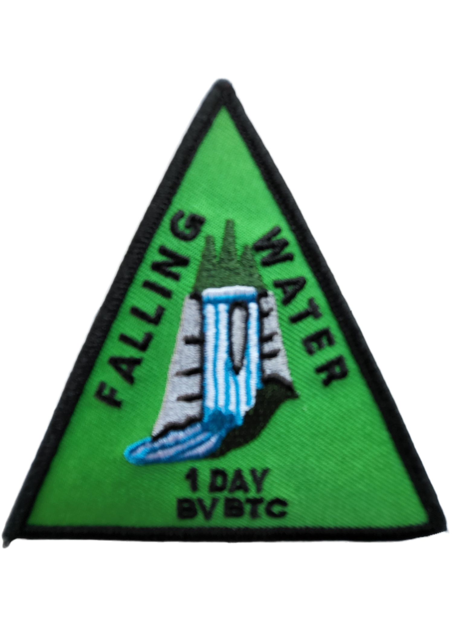
Falling Water - Beaver Valley (1 Day independent)
https://hikesstaging.brucetrail.org/event/falling-water-beaver-valley-1-day-independent/Sorry, the registration cut-off time for this hike has been reached.Not a member? Click here to join today!Hosting Club: Beaver Valley
Location (Google Maps): Meet in the south end of the Beaver Valley Ski Club lower parking lot off Grey Road 30, Map 26, Edition 31
Hike Leader(s): Kristina Rettie Click here to contact the hike leader.
Pace: Brisk
Terrain: Some rocky footing, Some steep sections, Strenuous
Length of Hike: approx. 30 kmDescription
Please join me on my birthday for this 1 day independent Falling Water badge! (cost of badge is $10 for members, $12 non-members)In this challenging loop we will hike the east and west sides of the valley from Beaver Valley Ski Club, connecting them with the Valley Crossover Side Trail.
This hike is for experienced hikers only. You must be able to hike 4-5km per hour for 30km.
This will be a long day and we will stay together as a group.
Bring lots of water (electrolytes) and food
Please no dogs
Please text Kristina @ 519-410-9077 for morning of cancellations
COVID-19 Precautions Before, During and After your Hike
- Each hiker joining a Bruce Trail Club organized hike must perform a self-screening check before hiking.
Find Ontario’s self-assessment tool here: https://covid-19.ontario.ca/self-assessment/ - If you are experiencing COVID-19 symptoms, stay home.
Transportation
It is the Bruce Trail Conservancy’s current policy that car shuttles are allowed. It is at the discrepancy of individual hike leaders to make that decision.
Other Guidelines
- Arrive 15 minutes before the start of the hike.
- Wear sturdy footwear and appropriate attire for the weather and the terrain.
Hiking poles are a good idea in any season, especially if the terrain is rocky or slippery. In winter, snowshoes or icers/crampons are needed when conditions dictate.
Wearing appropriate clothing and footwear prevents injuries and shows consideration for a safe and positive group hiking experience. - Always carry I.D. and your health card.
- Bring sufficient water and snacks (or lunch if indicated). A minimum of 1L of water is recommended on all hikes, and 3L is recommended for long, challenging hikes in the heat of the summer.
- Bring sunscreen and insect repellent (for spring and summer hikes).
- Bring your own first aid kit.
- Please leave dogs at home.
Boyne Valley Side Trail Loop
https://hikesstaging.brucetrail.org/event/boyne-valley-side-trail-loop-8/Sorry, the registration cut-off time for this hike has been reached.Not a member? Click here to join today!Hosting Club: Dufferin Hi-Land
Category: Tuesday Hike
Location (Google Maps):Dufferin Hi-Land Section, Map 20. Meet at parking lot at end of Centre Road, south of 5 Sideroad Mulmur (just north of Km 17.6
) at 9:00 am.Hike Leader(s): Les Babbage, Inge Eckerich, Julie Daley, Tony Evangelista Click here to contact Hike Leader(s)
Pace: Leisurely
Terrain: Moderate, Slippery and Steep Sections
Distance: 6.3 km, Short hike: 3 kmDescription
We will hike a loop consisting of the Main Trail and Boyne Valley Side Trail. The short option will return to parking from the Boyne River bridges by way of Centre Road road allowance. Bring water and snacks.9:15 Short Hike - Short Hills Park, Pelham Rd
https://hikesstaging.brucetrail.org/event/915-short-hike-short-hills-park-pelham-rd-7/Sorry, the registration cut-off time for this hike has been reached.Not a member? Click here to join today!Hosting Club: Niagara
Category: Hike
Location (Google Maps): Short Hills Provincial Park, Pelham Rd parking lotHike Leader(s): Debbie Demizio Click here to contact Hike Leader(s)
Pace: Medium
Terrain: Moderate
Distance: ~ 6kmsDescription
Hike the main and side trails in Shorthills Provincial Park. Bring hiking boots, water, sunscreen and bug spray. Please help prevent the spread of invasive species by cleaning your boots following the hike. Please check yourself for ticks following the hike.Devil's Pulpit and Forks of the Credit
https://hikesstaging.brucetrail.org/event/devils-pulpit-and-forks-of-the-credit/Sorry, the registration cut-off time for this hike has been reached.Not a member? Click here to join today!Hosting Club: Caledon Hills
Category: Tuesday Hikers
Location (Google Maps): Parking at the corner of Creditview Rd. and the Grange Side Road; 16413 Creditview Rd., Belfountain. Bruce Trail Map 14.Hike Leader(s): Peter Leeney Click here to contact Hike Leader(s)
Pace: Medium – 3 to 4 km/hour
Terrain: Strenuous – hilly with steep climbs and some poor footing
Distance: 11 kmDescription
We will hike DOWN the Devil’s Pulpit side trail with a visit to the Ring Kiln Side Trail. Then we will continue down to the Trimble Side Trail and follow it to Belfountain (including the Crow’s Nest Trail). Return by the same route but this time UP the Devil’s Pulpit.60 for the 60th Anniversary Badge Hike Series - #5 of 10
https://hikesstaging.brucetrail.org/event/60-for-the-60th-anniversary-badge-hike-series-5-of-10/Sorry, the registration cut-off time for this hike has been reached.Not a member? Click here to join today!Hosting Club: Caledon Hills
Category: General
Location (Google Maps): Roadside parking on Coolihans Sideroad, east of where the trail crosses the road; km 35.0, Map 17.Hike Leader(s): Marilyn Ross 416-895-8254 Click here to contact Hike Leader(s)
Pace: Leisurely – 3 km/hour or less
Terrain: Moderate – some hills and/or some poor footing
Distance: 6 kmDescription
Join Marilyn and Louise on this 2 hour, 6 km hike which is the 5th in the series of hikes for the new “60 for the 60th Anniversary” badge. We will hike north through Glen Haffy Conservation Area toward Hwy 9 and back. Hike one, a few, or all 10 hikes. Join any hike and make up the rest on your own as long as a record is kept of their hikes to submit on completion to obtain their badge. Participants who complete all 10 hikes will be eligible to purchase the “60 for the 60th” badge.
Bring poles, and hydration. - Each hiker joining a Bruce Trail Club organized hike must perform a self-screening check before hiking.
- 26June 26, 2024
McCluskey’s Rock
https://hikesstaging.brucetrail.org/event/mccluskeys-rock-7/Sorry, the registration cut-off time for this hike has been reached.Not a member? Click here to join today!Hosting Club: Blue Mountains
Category: Register in person the morning of hike.
Location (Google Maps): Hike meets in the parking lot behind Tim Hortons on First St. in Collingwood.Hike Leader(s): Myra Campbell Click here to contact Hike Leader(s)
Pace: Medium – 3 to 4 km/hr
Terrain: Moderate – Some hills and/or some poor footing
Distance: 8.5 kmDescription
We will start the hike at km 35.0 on The Blue Mountains-Euphrasia townline. The hike meanders through some fields, follows Fox Ridge Rd for a short distance to 39.3. The trail then ascends & descends some lovely, scenic, very rocky sections of the escarpment. We follow the escarpment edge with great views over the Beaver Valley, ending at 43.5 on Sideroad 7B. Bring a snack or lunch and water.9:30 Niagara Glen (Gorge)
https://hikesstaging.brucetrail.org/event/930-niagara-glen-gorge/Sorry, the registration cut-off time for this hike has been reached.Not a member? Click here to join today!Hosting Club: Niagara
Category: Loop
Location (Google Maps): Niagara Glen Nature Centre, Niagara River Parkway, Niagara Falls, ONHike Leader(s): Heather Howkins Click here to contact Hike Leader(s)
Pace: Fast, Medium
Terrain: Moderate
Distance: 6kDescription
Meet at metal stairs leading to the gorge and hike the river trail returning to metal stairs.
Bring water, sun screen and bug spray.
paid parking lotDundurn Park and Princess Point
https://hikesstaging.brucetrail.org/event/dundurn-park-and-princess-point-3/Sorry, the registration cut-off time for this hike has been reached.Not a member? Click here to join today!Hosting Club: Iroquoia
Category: Good Companions
Location (Google Maps):Dundurn Park, York Rd, Hamilton (near Dundurn Castle)
Hike Leader(s): Craig Sim Click here to contact Hike Leader(s)
Pace: Medium – 3 to 4 km/hr
Terrain: Moderate – Some hills and/or some poor footing
Distance: 8k (approximate)Description
Meet at Dundurn Park parking lot, part of lot farthest from Dundurn Castle. We will walk toward Princess Point via stairs, then a bit of trails there. Some flat trail and some easy hills. Good views. Dress in layers adequate for weather, wear hiking boots, bring water and snack. Up to day before hike contact by email.WEDNESDAY WALKERS - McCluskey's Rock
https://hikesstaging.brucetrail.org/event/wednesday-walkers-mccluskeys-rock-2/Sorry, the registration cut-off time for this hike has been reached.Not a member? Click here to join today!Hosting Club: Beaver Valley
Location (Google Maps): Park on the shoulder of Sideroad 7B, at the bend in the road near the Old Baldy parking lot, km 43.5, Map 25, Edition 31
Hike Leader(s): Margaret Yaraskavitch Click here to contact the hike leader.
Pace: Medium
Terrain: Moderate
Length of Hike: 5 kmDescription
This hike is primarily a there-and-back hike. We will be starting near the iconic Old Baldy. The Trail takes us along the edge of the Escarpment with a number of views across the Valley. We will walk on the main Trail as far as McCluskey’s Rock. After experiencing being “between a rock and a hard place”, we will return on the main Trail and then take the Ken Young side Trail back.COVID-19 Precautions Before, During and After your Hike
- Each hiker joining a Bruce Trail Club organized hike must perform a self-screening check before hiking.
Find Ontario’s self-assessment tool here: https://covid-19.ontario.ca/self-assessment/ - If you are experiencing COVID-19 symptoms, stay home.
Other Guidelines
- Arrive 15 minutes before the start of the hike.
- Wear sturdy footwear and appropriate attire for the weather and the terrain.
Hiking poles are a good idea in any season, especially if the terrain is rocky or slippery. In winter, snowshoes or icers/crampons are needed when conditions dictate.
Wearing appropriate clothing and footwear prevents injuries and shows consideration for a safe and positive group hiking experience. - Always carry I.D. and your health card.
- Bring sufficient water and snacks (or lunch if indicated). A minimum of 1L of water is recommended on all hikes, and 3L is recommended for long, challenging hikes in the heat of the summer.
- Bring sunscreen and insect repellent (for spring and summer hikes).
- Bring your own first aid kit.
- Please leave dogs at home.
- Each hiker joining a Bruce Trail Club organized hike must perform a self-screening check before hiking.
- 27June 27, 2024
NEW TIME 8:00 am Long Hike Jordan to Moyer / Louth
https://hikesstaging.brucetrail.org/event/new-time-800-am-long-hike-jordan-to-moyer-louth-6/Sorry, the registration cut-off time for this hike has been reached.Not a member? Click here to join today!Hosting Club: Niagara
Location (Google Maps):
Jordan Hollow Park 3039 King St Jordan
Hike Leader(s): Alan Laver Click here to contact Hike Leader(s)
Pace: Medium
Terrain: Moderate
Distance: 10kDescription
From Jordan Hollow Hike the main trail to Upper and Lower Balls Falls, Moyer Road or Louth and Return. You must register for each hike. Bring Poles, sunscreen, bug spray , snack and a drink and dress for the weather
9:15 Short hike - Jordan Hollow
https://hikesstaging.brucetrail.org/event/915-short-hike-jordan-hollow-116/Sorry, the registration cut-off time for this hike has been reached.Not a member? Click here to join today!Hosting Club: Niagara
Location (Google Maps): Jordan Hollow Park, Jordan Station
Hike Leader(s): Bill Russell Click here to contact Hike Leader(s)
Pace: Medium
Terrain: Strenuous
Distance: 6 kmsDescription
Hike the main and side trails around Jordan and Balls Falls. Bring hiking boots, water, sunscreen and bug spray.Christie Lake
https://hikesstaging.brucetrail.org/event/christie-lake-2/Sorry, the registration cut-off time for this hike has been reached.Not a member? Click here to join today!Hosting Club: Iroquoia
Category: Thursday Group
Location (Google Maps):Christie Lake Conservation Area largest parking lot.
Hike Leader(s): Craig Sim Click here to contact Hike Leader(s)
Pace: Medium – 3 to 4 km/hr
Terrain: Moderate – Some hills and/or some poor footing
Distance: 6-7k (approximate)Description
Note start time. Drive straight in from entrance, main parking lot to your right turn from stop sign at T junction. Either Hamilton Conservation Area membership or parking fees apply. Loop of lake, exact route may vary. Wear boots or strong footwear. One side of loop flat, other has some moderate hills. Prepare for variable conditions and footing if wet conditions, easy in ideal conditions. Dress in layers appropriate to weather. Bring water and snack. Bring swimsuit for optional swim after. Hike leaves at 930am.Skinners Woods and Len Holley Side Trail
https://hikesstaging.brucetrail.org/event/skinners-woods-and-len-holley-side-trail/Sorry, the registration cut-off time for this hike has been reached.Not a member? Click here to join today!Hosting Club: Sydenham
Category: General Hike
Location (Google Maps): The Owen Sound Galaxy Cinema parking lot. Meet at the tall “Galaxy Centre” sign next to the traffic lights.Hike Leader(s): Franziska Edney Click here to contact Hike Leader(s)
Pace: Leisurely: 3 km/h or less
Terrain: Easy: Mostly flat and good footing., Moderate: Some hills and/or poor footing
Distance: 5.5kmsDescription
We will start our hike at the corner of Colpoys Range Rd. and Gleason Lake Rd. First we follow the Len Holley Side Trail north to the main trail. There we can enjoy some nice views over Colpoys Bay, follow the escarpment along Skinners Bluff and hike back to our cars on Skinners Woods Side Trail. There are no big hills on this hike, but the trail is rocky, poles are advised. This time of year you might need bug spray. If you choose not to carpool or for any other information, please connect with the hike leader.
Urban Walk: Toronto Islands Evening Walk
https://hikesstaging.brucetrail.org/event/urban-walk-toronto-islands-evening-walk-9/Sorry, the registration cut-off time for this hike has been reached.Not a member? Click here to join today!Hosting Club: Toronto
Location (Google Maps): Jack Layton Ferry Terminal, near the gates to Wards Island Ferry. Arrive 20 minutes prior to departure to check in with hike leader.
From Union Station take the LRT and get off at the stop Ferry Docks.Walk up to the Ferry Docks on Queens Quay West, street level. at the foot of Bay Street.
Hike Leader(s): Miriam Stevens Click here to contact Hike Leader(s)
Pace: Leisurely
Terrain: Flat
Distance: 6-9 kmDescription
After a day’s work come and “cool off” on the Toronto Islands free of fumes and traffic. Enjoy the view of the city skyline and Toronto’s beautiful island parkland.
Pack a dinner for a sit down picnic. Food is not available for purchase on the Islands early in the season. Also bring a warm jacket and flashlight.
Return fare ticket for the ferry $9.11, $5.86 for seniors.
Hikes will take place rain or shine.
Toronto Island evening hikes will take place every THURSDAY in MAY and JUNE 2024.
Same time and same meeting place. No preregistration is required – just show up at the ferry docks at 5:40 PM and sign with the hike leader. - 28June 28, 2024

Sydenham Fundraising E2E in 8 hikes
https://hikesstaging.brucetrail.org/event/sydenham-fundraising-e2e-in-8-hikes/Sorry, the registration cut-off time for this hike has been reached.Not a member? Click here to join today!Hike open to BTC Members only.
This is a Multi-Day Hike
You are signing up for the following dates and times:
2024-06-28 at 08:30
2024-06-29 at 08:30
2024-06-30 at 08:30
2024-07-01 at 08:30
2024-07-05 at 08:30
2024-07-06 at 08:30
2024-07-07 at 08:30
2024-07-08 at 08:30Hosting Club: Toronto, Sydenham
Category: Car Hike
Location (Google Maps): Km 20.7, shoulders of 6th concession S. coordinates N 44.507399, 80.810098 map 29Hike Leader(s): Smadar Junkin Click here to contact Hike Leader(s)
Pace: Brisk
Terrain: Challenging, Variable
Distance: 20.7kmDescription
Welcome to the Fundraising hike series of the Sydenham. These funds will be collected by the Toronto Bruce Trail Club and will be transferred to the Sydenham Club to help with the club’s expenses and the pledge of maintaining The Ribbon Of Wilderness For Everyone Forever.
the hike cost will earn the participants the Stained glass badge of the Hart Tongue Fern.
You are registering for all 8 hikes and expected to hike all 8. However, you will be allowed to miss two hikes and make it up on your own.we will shuttle to km 0.0 and walk back.
We will leave no trace of being on the trail and try to leave the trail in better shape then before we get there.
hikers will receive an email with the meeting locations for each hike.
the pace expectation is 4- 4.5 km per hour. Please arrive 15 minutes early so the shuttle can leave by 8:30. All participants are expected to take part in the shuttles during the 8 hiking days.bring two litres of water. Bug repellent.
Terra Cotta Loop
https://hikesstaging.brucetrail.org/event/terra-cotta-loop-8/Sorry, the registration cut-off time for this hike has been reached.Not a member? Click here to join today!Hosting Club: Iroquoia
Category: General Hike
Location (Google Maps):Roadside parking on Heritage Road
Hike Leader(s): Pati Greenwood, Jeff Dowsett Click here to contact Hike Leader(s)
Pace: Medium – 3 to 4 km/hr
Terrain: Moderate – Some hills and/or some poor footing
Distance: 15 kDescription
Starting from the roadside parking, the hike will follow the main trail, the Terra Cotta Side Trail, and the Rockside Side Trail to form a loop. Regular breaks and a lunch stop will be included. Bring snacks, lunch and plenty of water. Insect repellent is also recommended. Please arrive at 8:15 am as we will depart promptly at 8:30 am.
Niagara-on-the-Lake Tour
https://hikesstaging.brucetrail.org/event/niagara-on-the-lake-tour-55/Sorry, the registration cut-off time for this hike has been reached.Not a member? Click here to join today!Hosting Club: Niagara
Category: Urban
Location (Google Maps): Park on King St near Centre St, at the entrance to Veteran’s Memorial Park, Niagara-on-the-LakeHike Leader(s): Margaret Northfield Click here to contact Hike Leader(s)
Pace: Medium
Terrain: Easy
Distance: 6-7 kmDescription
Each Friday we will explore different neighbourhoods, trails and parkland throughout Historic Niagara-on-the-Lake.
Moderate pace with some weeks entirely on sidewalks and roads while others may include a mix of trails and paved pathways. Great way to build up endurance for longer more strenuous hikes.
Prepare for cooler windy conditions on open parkland and along Lake Ontario and Niagara River trails.
Plan to stay for conversation and a warm cup of coffee or tea at Sweets & Swirls, Community Centre, Niagara Stone Road, NOTL
Margaret Northfield & Robin Garrett
- 29June 29, 2024

Mulmur and Boyne Valley Provincial Park
https://hikesstaging.brucetrail.org/event/mulmur-and-boyne-valley-provincial-park/Sorry, the registration cut-off time for this hike has been reached.Not a member? Click here to join today!Trip Information
Departure Time: 08:00
Return to City Time: 18:00
Departure Point: York Mills Bus PickupOptional Items
Major Mackenzie and 400 Park and Ride Parking lot ($0.01)Hosting Club: Toronto, Dufferin Hi-Land
Category: Bus Hike
Location (Google Maps): Boyne Valley Provincial Park and Mulmur (map 20)Hike Leader(s): Amir Alemohammad, Mohammad Aghamiri, Mehrnoush Ahmadi Click here to contact Hike Leader(s)
Pace: Moderate (3-4 km/hr)
Terrain: Variable
Distance: 16-18 kmDescription
Bus departs 10 York Mills Rd at 8:00 AM and Major Mackenzie Dr and HWY 400 Park and Ride at 8:30 AM. If you wish to be picked up at the Major Mackenzie Dr and HWY 400 Park and Ride, type ‘yes’ in the additional information field. Please arrive 15 minutes before departure. The bus waits for no oneThis is a fantastic hike to explore Mulmur and the Boyne Valley provincial park. Entering from 10 Sideroad (Road 17) into the main trail (km 30.5, Map 20) we will go south to enter the Boyne Valley on km 20.6. Beautiful side trails, some lookouts and creeks are along the way including Murphy’s Pinnacle Lookout point and Mulmur Lookout side trail. The Boyne valley is always a piece of gem in the Bruce trail. We will end up in the Primrose Bruce Trail parking lot. Drop outs at Km 23.9, 20.6 and First Line E Rd. Please dress according to weather conditions. Boots mandatory poles recommended. Bring at least 4 lit of water, snacks/lunch and be prepared for bugs. Access to the bus is available on the drop out locations. We will have frequent stops to have water and bio breaks and also a 30 min stop for lunch. On the way back we will have a short stop at the nearby local burger shop for refreshments, if there is enough time. We will be back to the York Mills Bus stop by 6:00 pm. We love pets but they are not allowed in this hike.
Car Hike: Hike the Main Trail from Limehouse CA to Speyside Resource Management Area
https://hikesstaging.brucetrail.org/event/car-hike-hike-the-main-trail-north-of-limehouse-ca-to-speyside-resource-management-area/Sorry, the registration cut-off time for this hike has been reached.Not a member? Click here to join today!Hosting Club: Toronto
Category: Car Hike
Location (Google Maps): Meeting Location: Roadside parking at Limehouse at the intersection of 22 Sideroad and Fifth Line. Please do not block driveway or access to the bridge. GPS N43.636859, W-79.979818. Map 12Hike Leader(s): Ross Estrella Click here to contact Hike Leader(s)
Pace: Brisk, Moderate
Terrain: Hilly, Rocky, Variable
Distance: 14 kmsDescription
We will hike the main trail from Limehouse Conservation Area to Speyside Resource Mangement Area. We’ll make this outing a (Hike4Health-Hike4Fun) which allowed us ample time for fun activities and photograhy of the sceneries that catches our eyes along the way. Please bring snacks, lunch and enough water for hydration. Make handy of sunscreen, sun head protection and bug spray as we may be greeted by our friendly mosquitoes. Comfortable/sturdy hiking shoe/boot and poles are strongly recommended. Check weather forecast and dress accordingly. Strongly suggest to bring your personal medication and health ID. Please arrive fifteen minutes early to allow for car shuttling. No drop out allowed.Car Hike: Happy Valley - CANCELLED
https://hikesstaging.brucetrail.org/event/car-hike-happy-valley-3/Sorry, the registration cut-off time for this hike has been reached.Not a member? Click here to join today!Hosting Club: Toronto
Location (Google Maps): Happy Valley, Oak Ridges Trail 16th Sideroad and Weston Road
Hike Leader(s): Mohammad Aghamiri Click here to contact Hike Leader(s)
Pace: Moderate
Terrain: Variable
Distance: 14-17 kmDescription
Come and join the group to view nice sceneries and look out of Happy valleySome safety procedures during the hike:
1-Hikers must stay between the leader and the sweep.
2-Hikers must advise the leader or the sweep if they wish to leave the group.
3- Hikers must follow the whistle instructions: 1 blast- stay where you are; 2 blasts come to the leader; 3 blasts – come to the leader quickly.
4-Hike leader may request volunteers to stop at trail intersections, they need to help hikers to the direction the group walk and wait till they see the sweep .
5-Hikers have to make sure they can see the persons behind and in front of them.
Car Hike: Bethesda Trail Richmond Hill
https://hikesstaging.brucetrail.org/event/car-hike-bethesda-trail-richmond-hill-28/Sorry, the registration cut-off time for this hike has been reached.Not a member? Click here to join today!Hosting Club: Toronto
Location (Google Maps): Free parking lot at the head of trail Bethesda Side Road off Bayview Ave. across Wilcox lake
Hike Leader(s): Mohammad Aghamiri Click here to contact Hike Leader(s)
Pace: Moderate (3-4 km/hr)
Terrain: Hilly, Level 2 (Intermediate – some hills and uneven surfaces, rocks and roots underfoot)
Distance: 14-15 kmDescription
Join us to explore the trails of York Regional Forest and the Oak Ridges Corridor at Jefferson Forest and Bond lake,From parking lot we hike thought Jefferson forest and continue to Bond Lake and have snack beside the lake and return to parking around 13 to 13.30
New Badge! Niagara E2E Hike #1
https://hikesstaging.brucetrail.org/event/new-badge-niagara-e2e-hike-1/Sorry, the registration cut-off time for this hike has been reached.Not a member? Click here to join today!Hike open to BTC Members only.
Hosting Club: Niagara
Category: Car Pool
Location (Google Maps): Meet at Grimsby Lions Community Pool, 1 Elm St., Grimsby N43.193201 W79.565301
Carpool to Quarry Rd km 66.7 N43.142846 W79.458913Hike Leader(s): Lauren Doig Click here to contact Hike Leader(s)
Pace: Medium
Terrain: Strenuous
Distance: 15.2Description
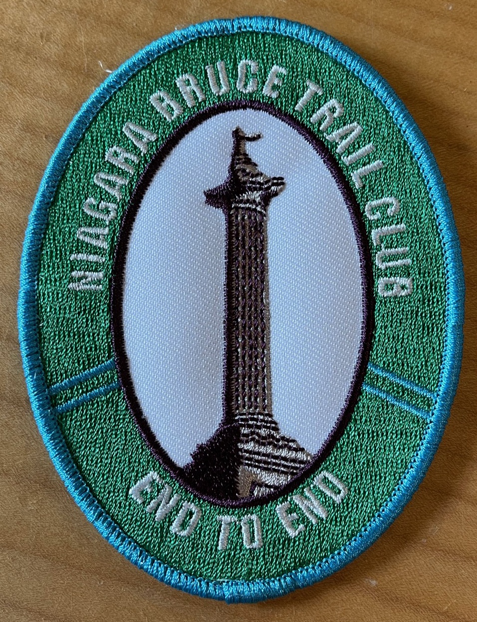
Hike the entire Niagara section in 5 hikes from Grimsby to Queenston to receive the NEW BADGE! Please bring snacks and plenty of water. Be prepared for the weather. Poles are recommended. Bring $10 for the new badge on the final day if you have completed all 5 hikes.Seven Rivers Hike Series - # 7 of 7 - Pretty River
https://hikesstaging.brucetrail.org/event/seven-rivers-hike-series-7-of-7-pretty-river/Sorry, the registration cut-off time for this hike has been reached.Not a member? Click here to join today!Hosting Club: Dufferin Hi-Land
Category: General Hike
Location (Google Maps): Meet at the Snowmobile Parking Lot, 63597 Pretty River Rd north of Duntroon.Hike Leader(s): Margery Cruise,Susan Ford Click here to contact Hike Leader(s)
Pace: Medium
Terrain: Moderate
Distance: 9.9Description
We will walk 380 meters on Pretty River road to catch the main trail, take it to the John Haigh Side Trail reaching the highest point of the Bruce trail. Then we turn around, retrace our steps and follow Pretty River Side Trail. When it joins the main trail, we will follow it back to Pretty River Road and walk east to the parking lot.Directions: From CR 124 and HW 89, north on CR 124 to Singhampton, continue east on CR 124 and then north to Sideroad 33 and 34 Nottawasaga. Turn left and look for Snowmobile Parking Lot.
This is Seven Rivers (aka Headwaters) series consists of 7 hikes: 3 North and 4 South. Hikers completing all 7 hikes in this series will be eligible to purchase a Seven Rivers Hike Series Badge from Dufferin Hi-Land BTC.
Duncan Crevice Caves - loop
https://hikesstaging.brucetrail.org/event/duncan-crevice-caves-loop/Sorry, the registration cut-off time for this hike has been reached.Not a member? Click here to join today!Hosting Club: Sydenham
Category: General Hike
Location (Google Maps): Meet in the north-east corner of the parking lot at Home Depot on Highway 26 on the east side of Owen Sound.Hike Leader(s): Ian Mills Click here to contact Hike Leader(s)
Pace: Medium: 3 to 4 km/h
Terrain: Strenuous: Hilly with steep climbs and some poor footing., There might be muddy sections., There might be sections with water on the trail.
Distance: 10+kmDescription
We will be doing a loop at Duncan Crevice Caves Provincial Nature Reserve (BTC Map # 25) via the Main Trail and Chuck & Pat Grant Side Trail. Wonderful elevations and scenery including Metcalfe Rock via Metcalfe Crevice Side Trail. Closer to the hike date we can investigate if folks would like to do lunch at (Hearts Tavern) Kimberley – please advise the Hike Leader if you are interested. Please advise the Hike Leader if you would prefer to meet at the trail head vs. Car Pool location.