
Hike Schedule
Join us for a hike! Registration required.
All hikes available to BTC members. Some hikes are open to non-members.
See Refund Policy for Paid Hikes >
TIP: The calendar view displays up to 7 hikes on a day, but often there are more. Click “View more events” to see them all.
Categories
- 05May 5, 2024
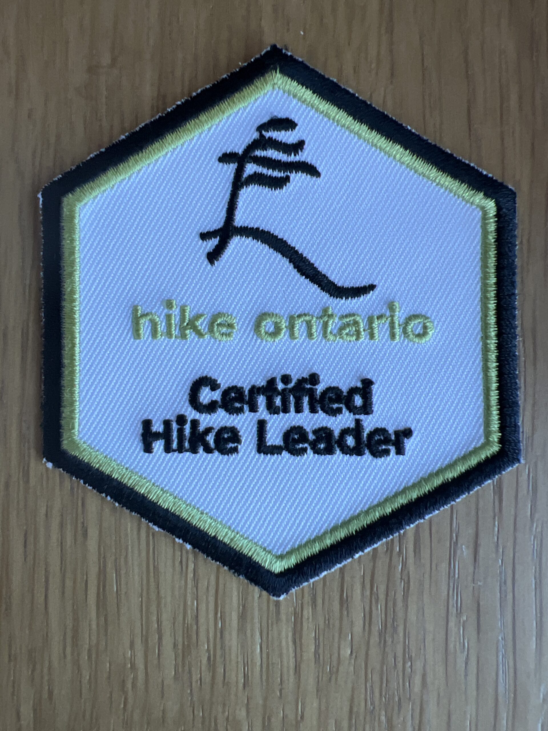
Hike Leader’s Hike/Social
https://hikesstaging.brucetrail.org/event/hike-leaders-hike-social-2/Sorry, the registration cut-off time for this hike has been reached.Not a member? Click here to join today!Hosting Club: Iroquoia
Category: Hike Leader’s Hike
Location (Google Maps): We will meet at the back of the Kilbride School on Panton Street at 08:30 sharp. From here we will carpool to the roadside parking at Twiss Road, (just south of Camp Manitou- Boy Scout camp and just north of Derry Rd.) See link below for directions.
As this roadside parking area has limited room for cars and does tend to fill up quickly and early on weekends we will carpool to this location. As there is plenty of parking at the nearby Kilbride Park, behind Kilbride School at the end of Panton St we will shuttle from there to Twiss road.Hike Leader(s): Dave Salt Click here to contact Hike Leader(s)
Pace: Medium – 3 to 4 km/hr
Terrain: Moderate – Some hills and/or some poor footing
Distance: Approx 10kmDescription
This is a rescheduled hike from April 13 that was cancelled due to weather. I am changing the format slightly from a Iroquoia hike leader social to a meet & greet the Iroquoia hike leaders. Everyone is welcome on this hike and it will be a great opportunity for non-leaders to meet our team and to learn what being a BT hike leader is all about. After we carpool to the Twiss road parking area we will hike toward the Guelph Line where we will cross the road and enter the Crawford Lake Conservation Area and make our way to the Nassagawaya Canyon lookout where we will take a short break. From the lookout we will retrace our steps back to the Guelph Line and back to Twiss road. All hikers will be carpooled back to Panton Street where most cars will be parked behind the Kilbride school. If the weather allows we can have an optional social afterwards for additional conversations.Please dress for the weather. Bring water and snacks in addition to a lunch.
Please bring suntan lotion and bug spray if you are partial to that as we may be in the early timing for blackfly season.Hiking Rotary Park to Decew House
https://hikesstaging.brucetrail.org/event/hiking-rotary-park-to-decew-house/Sorry, the registration cut-off time for this hike has been reached.Not a member? Click here to join today!Hosting Club: Niagara
Category: In and Out
Location (Google Maps): Rotary ParkHike Leader(s): Sheila Massey Click here to contact Hike Leader(s)
Pace: Medium
Terrain: Strenuous
Distance: Approximately 10Description
This hike is very scenic with hills up the escarpment along the way. We cross the Laura Secord Bridge and continue to Morningstar Mill. If volunteers are there, we can see how the mill operates and possibly get a chance to go through the historic house. Then we continue walking a rocky path along Lake Moodie where we end up at Decew House. From there we walk over to the First Nations Peace Monument returning by the same trails back to Rotary Park. If you have any questions email smassey449@gmail.comHighland Creek Urban Walk: Guildwood to Rouge Hill & Some Yoga
https://hikesstaging.brucetrail.org/event/highland-creek-urban-walk-guildwood-to-rouge-hill-some-yoga/Sorry, the registration cut-off time for this hike has been reached.Not a member? Click here to join today!Hosting Club: Toronto
Category: Urban Walk
Location (Google Maps): We will meet in front of the Guildwood GO Station. See Meeting details below.Hike Leader(s): Leonora Rochwerger Click here to contact Hike Leader(s)
Pace: Moderate
Terrain: Flat
Distance: 11.5 kmDescription
Description: Join us for a pleasant walk and some Yoga along Highland Creek and the Waterfront Trail to Port Union. We will meet outside Guildwood Go Train Station, and head to Highland Creek Community Park to hike along the Highland Creek Trail. If weather allows, we will find a flat area along the way to pause and do some gentle Yoga standing poses- no Yoga mat is required. We will continue our hike and reach the Waterfront Trail, ending in Rouge Hill Go Station. Those interested can join us for an after-hike coffee/tea at a local coffee shop.Route map: https://onthegomap.com/s/j7htp3e6
How to get there and get home: We will meet as a group no later than 09:30 outside the Guildwood Go Station. GO trains run eastbound approximately every 30 minutes from Union Station. Bus 86 from Kennedy Station is an alterantive to get there using TTC transit. If you are driving, there is free parking outside the station. To go back, you can take the westbound GO train to Union Station and beyond. If you parked at Guildwood, you can take the westbound train for 1 station to retrieve the car.
What to bring: Proper walking /hiking shoes, at least 1.5 litres of water and a packed lunch. Appropriate clothing for the weather. No Yoga mats required. No dogs allowed.

Toronto Urban Badge Hike - 5 of 7
https://hikesstaging.brucetrail.org/event/toronto-urban-badge-hike-5-of-7-3/Sorry, the registration cut-off time for this hike has been reached.Not a member? Click here to join today!Hosting Club: Toronto
Category: Urban Walk
Location (Google Maps):Toronto, Ontario, Canada
Hike Leader(s): Brian Rideout Click here to contact Hike Leader(s)
Pace: Moderate
Terrain: Flat
Distance: 9.6 kmDescription
Please join me at the north east corner of Bathurst and Finch by 10 AM. We will hike east on the Finch Hydro Corridor Trail and south along East Don Parklands to Sheppard and Leslie (km 41.6 to km 51.2). Here is an online map with km markings of our route for all 7 hikes for the Toronto Urban Badge.Please make sure you bring at least 2 liters of water, a lunch, bug spray and sunscreen.
Spring Social Hike: Rocklyn Creek
https://hikesstaging.brucetrail.org/event/spring-social-hike-rocklyn-creek/Sorry, the registration cut-off time for this hike has been reached.Not a member? Click here to join today!Hosting Club: Sydenham
Category: General Hike
Location (Google Maps): Meet at Walter’s Falls Community Centre at 1:30 and we will shuttle to the start of the hike from there.Hike Leader(s): Fran Turner Click here to contact Hike Leader(s)
Pace: Medium: 3 to 4 km/h
Terrain: Strenuous: Hilly with steep climbs and some poor footing.
Distance: 4.3 kmDescription
We’ll meet at the Walter’s Falls Community Centre at 1:30. After a very short car shuttle, our hike begins at Deviation Road. We will hike west along the top of the escarpment for 3 km, enjoying the scenic vistas and the beautiful forest for 3 km, then descend into the Rocklyn Creek valley and follow the waterfalls out to the road. The creek portion is muddy at this time of year, so waterproof footwear is strongly advised. This is a very pretty hike, but there are several steep ascents and descents with rocky terrain and uneven footing. Hiking poles are helpful.Spring Social Hike: Walter's Falls Loop
https://hikesstaging.brucetrail.org/event/spring-social-hike-walters-falls-loop/Sorry, the registration cut-off time for this hike has been reached.Not a member? Click here to join today!Hosting Club: Sydenham
Category: General Hike
Location (Google Maps): Walter’s Falls Community CentreHike Leader(s): Danuta Valleau Click here to contact Hike Leader(s)
Pace: Leisurely: 3 km/h or less
Terrain: Moderate: Some hills and/or poor footing
Distance: 4.8 kmDescription
Walk or carpool to Walters Falls Inn crossing the bridge on main trail which traverses the escarpment and follows the river upstream, returning on the other side of the river via the Walters Creek Side Trail. Walking poles or sticks are helpful for downhill sections. Some areas by the river may be muddy.This is a beautiful hike in any season through mixed forest, and close to a running stream, with low and high sections.
Spring Social Hike: Mossy Gorge
https://hikesstaging.brucetrail.org/event/spring-social-hike-mossy-gorge/Sorry, the registration cut-off time for this hike has been reached.Not a member? Click here to join today!Hosting Club: Sydenham
Category: General Hike
Location (Google Maps): Walter’s Falls Community CentreHike Leader(s): Bob Knapp Click here to contact Hike Leader(s)
Pace: Leisurely: 3 km/h or less
Terrain: Moderate: Some hills and/or poor footing
Distance: 2.5 kmDescription
A wonderful opportunity to discover this very interesting newly acquired BTC property.
A rough trail has been marked, but hikers must be able to step over branches and walk on uneven ground.
The hike will include views of large maple trees and a hike up the Gorge! We will make several stops to look at features.We will meet outside the Community Hall 1:00-1:15 for instructions and to arrange car pooling the 5 kilometres to the start of the hike.