
Hike Schedule
Join us for a hike! Registration required.
All hikes available to BTC members. Some hikes are open to non-members.
See Refund Policy for Paid Hikes >
TIP: The calendar view displays up to 7 hikes on a day, but often there are more. Click “View more events” to see them all.
Categories
- 15April 15, 2024
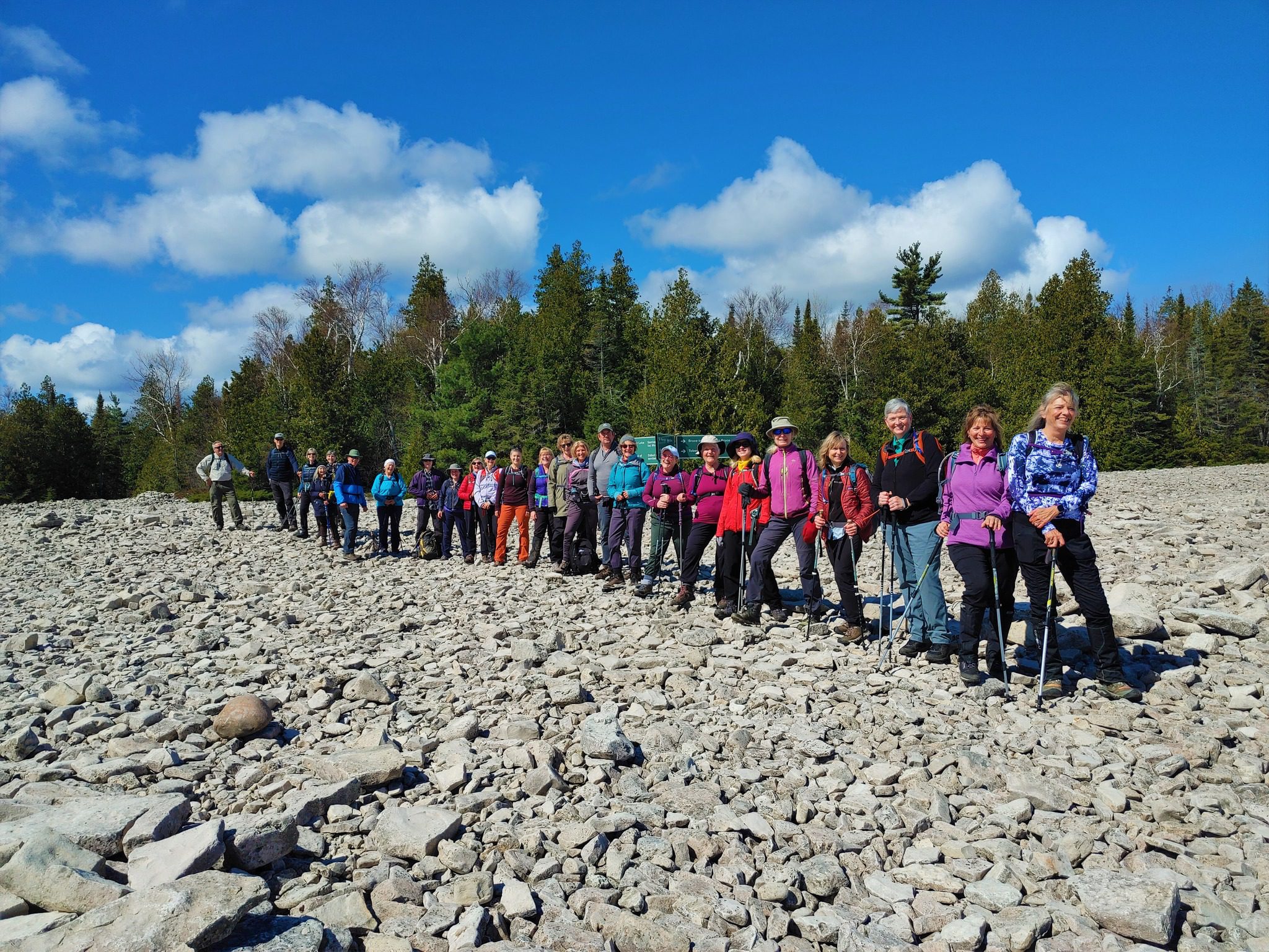
Peninsula Bruce Trail Club: End-to-End 8-Day Hiking Series - Please read description before registering
https://hikesstaging.brucetrail.org/event/peninsula-bruce-trail-club-end-to-end-8-day-hiking-series/Sorry, the registration cut-off time for this hike has been reached.Not a member? Click here to join today!This is a Multi-Day Hike
You are signing up for the following dates and times:
2024-04-15 at 08:00
2024-04-16 at 08:00
2024-04-22 at 08:00
2024-04-23 at 08:00
2024-04-29 at 08:00
2024-04-30 at 08:00
2024-05-06 at 08:00
2024-05-07 at 08:00Hosting Club: Peninsula
Location (Google Maps): Hike 1 – Meeting Location Wiarton Bluewater Park
Hike Leader(s): Caley Doran Click here to contact Hike Leader(s)
Pace: Medium
Terrain: Difficult, Moderate
Distance: Varies by hikeDescription
Event Type: Multi-Day HikeOpen to Bruce Trail Conservancy (BTC) Members Only.
Non-members can join by signing up for a one-year BTC membership [$75] before registering at Bruce Trail Conservancy Memberships.
Participant Limit: Maximum of 17 participants, including the hike leader and sweep.
Scheduled Dates:
- April 15, 16, 22, 23, 29, 30, 2024
- May 6, 7, 2024
Registration Fees:
- BTC Members: $50
- Includes Badge Fee
- To Confirm Your Registration E-transfer $50 to HikeWithPBTC@gmail.com
- Note: No refunds, hiker substitutions, or guest hikers. Registration fee does not include BPNP entry fee. Parking charges will be shared equally among participants.
Hike Leadership:
- Led by PBTC Certified Hike Leader Caley Doran.
- Pace: Medium
- Terrain: Moderate/Difficult
- Average Hike Distance: Approximately 19-25 KM per day
Hike Overview:
- Complete the Peninsula section of the Bruce Trail over 8 hikes.
- Direction: Northbound from Wiarton to Tobermory.
- Group Hike Format: Participants commit to the entire series.
- Intermediate/experienced hikers comfortable with challenges, including longer distances and elevation gains.
- Expected Pace: 3 – 4 km/hr over 19-25 km
- Total Distance: Approximately 165km with no dropout points.
- Time allocated for photography and appreciating the local flora and fauna.
Participant Requirements:
- Assess and ensure physical fitness for group hiking.
- Attire: Proper hiking boots, layered clothing for varying weather, and wet weather gear. Hiking poles recommended.
- Essentials: Sufficient food [lunch], snacks and water for a full day, bug spray.
- Breaks: Morning, 15-30 minute on-trail lunch, and afternoon breaks, weather-dependent.
- Participant is required to sign a BTC Waiver of Liability
Fee:
- Covers badge fee.
- Surplus supports Peninsula Bruce Trail Club’s hike program
Transportation:
- Each hike in this series will involve a car shuttle, and all participants will take their turn as a shuttle driver. Ensure your vehicle is passenger ready for the shuttle.
- Typical Meeting Time: 8 AM
- Schedule will be based on daily hiking distance
Environmental Responsibility:
- Adherence to Leave No Trace principles.
- Collective effort in trail cleanliness.
- Note: Dogs are not permitted on this hike.
Accommodations:
- Early reservations recommended.
- Suggested locations: Near meeting points or centrally in Lion’s Head.
- Options include motels, campgrounds, hostels, and B&Bs.
Schedule and Communication:
- Detailed itinerary sent prior to each hike.
- Schedule subject to change.
Join us for this memorable hiking adventure and be part of a community dedicated to preserving and enjoying the natural beauty of the Bruce Trail.

Afternoon Hike - Silver Creek area
https://hikesstaging.brucetrail.org/event/afternoon-hike-silver-creek-area/Sorry, the registration cut-off time for this hike has been reached.Not a member? Click here to join today!Hosting Club: Iroquoia
Category: Afternoon/Evening Hikes
Location (Google Maps): Meet at 4:15 roadside on Fallbrook Trail at Silver Creek Conservation Area.Hike Leader(s): Karen Bergmann Click here to contact Hike Leader(s)
Pace: Medium – 3 to 4 km/hr
Terrain: Moderate – Some hills and/or some poor footing
Distance: 7 kmsDescription
We will hike around the Roberts ST and Irwin Quarry ST and then cross the road to the main trail and around a couple of side trails that you may not have known were there. - 16April 16, 2024
Urban Walk: Valley View and Maple view Parks Thornhill
https://hikesstaging.brucetrail.org/event/urban-walk-valley-view-and-maple-view-parks-thornhill-2/Sorry, the registration cut-off time for this hike has been reached.Not a member? Click here to join today!Hosting Club: Toronto
Location (Google Maps): Parking lot at the corner of Bayview Ave, and Sycamore Dr. South of Highway 7
Sycamore Dr. is 2 blocks south of highway 7,parking lot is across plaza of Dollarama and Star boxHike Leader(s): Mohammad Aghamiri Click here to contact Hike Leader(s)
Pace: Moderate
Terrain: Variable
Distance: 7-8 kmDescription
We will explore Valleyview and Maple view parks, and walk along German Mill Creek,Woodford to north end of Bognor Marsh Conservation Area (Concession 4)
https://hikesstaging.brucetrail.org/event/woodford-to-north-end-of-bognor-marsh-conservation-area-concession-4/Sorry, the registration cut-off time for this hike has been reached.Not a member? Click here to join today!Hosting Club: Sydenham
Category: General Hike
Location (Google Maps): Meet at Roadside Parking at the south end of 4th Concession N – go South from Highway 26 to parking area at the end of the 4th Concession N . The landmark for turning south off Highway 26 is the Woodford Baptist Church. From here we will do a car shuttle to the Woodford Community Centre which will be our starting point.Hike Leader(s): Fran Turner Click here to contact Hike Leader(s)
Pace: Brisk: 4 to 5 km/h
Terrain: Strenuous: Hilly with steep climbs and some poor footing.
Distance: 8 kmDescription
This is a lovely hike through the forest along the top of the escarpment. We will take the Crevice Springs Side Trail at the start of the hike and enjoy passing through the Hole-in-the-Wall crevice. We’ll stop for a drink and snack at the Waisberg Side Trail Lookout. When we reach the north end of Bognor Marsh Conservation Area, we’ll turn north and head back to the cars.9:00 Long Hike Wiley Road Short Hills
https://hikesstaging.brucetrail.org/event/900-long-hike-wiley-road-short-hills-30/Sorry, the registration cut-off time for this hike has been reached.Not a member? Click here to join today!Hosting Club: Niagara
Location (Google Maps):
Short Hills Wiley Road Entrance
Pace: Medium
Terrain: Moderate
: 10kmDescription
Explore Short Hills and the majestic side trails of Scarlett Tanager, Hemlock. Swayze Falls and Terrace. Register for each hike
Bring Poles water, snack, and dress for the weather
9:15 Short Hike - Rotary Park
https://hikesstaging.brucetrail.org/event/915-short-hike-rotary-park-12/Sorry, the registration cut-off time for this hike has been reached.Not a member? Click here to join today!Hosting Club: Niagara
Category: Hike
Location (Google Maps): Rotary Park, 376 Regional Rd 69, St. CatharinesHike Leader(s): Debbie Demizio Click here to contact Hike Leader(s)
Pace: Medium
Terrain: Moderate
Distance: ~ 6kmsDescription
Hike around Twelve Mile Creek. Bring hiking boots, water, sunscreen and bug spray.Hockley Valley South Side
https://hikesstaging.brucetrail.org/event/hockley-valley-south-side-6/Sorry, the registration cut-off time for this hike has been reached.Not a member? Click here to join today!Hosting Club: Dufferin Hi-Land
Category: Tuesday Hike
Location (Google Maps):Caledon Hills Section, Map 18. The parking lot is located south of Hockley Road at 5th Line EHS. Take Hwy 10 north and just north of Orangeville turn right (east) on Hockley Road. Drive 7 km and turn right on 5th Line to the parking lot on your left.
Hike Leader(s): Tony Evangelista, Les Babbage, Inge Eckerich, Julie Daley Click here to contact Hike Leader(s)
Pace: Medium
Terrain: Slippery and Steep Sections, Strenuous
Distance: Long Hike:10.6 km; Short Hike: 3 kmDescription
From the parking lot, we will climb the Hockley Heights Side Trail to the Main Trail and turn left. At km 51.4 we will enter the Glacier Valley Side Trail and loop back to the Main Trail. Then heading west to km 56.2, we will turn right and hike back through the Griffith Ravine Side Trail to rejoin the Main Trail. Returning to the parking area will be via the Hemlock Ridge Side Trail. The short hike will complete the Glacier Valley Side Trail loop and return to the parking lot.Bring lunch, water, and snacks. Hiking poles are recommended.
Boston Mills / Mississauga Rd
https://hikesstaging.brucetrail.org/event/boston-mills-mississauga-rd/Sorry, the registration cut-off time for this hike has been reached.Not a member? Click here to join today!Hosting Club: Caledon Hills
Category: Tuesday Hikers
Location (Google Maps): Parking at Boston Mills Rd., just west of its intersection with Mississauga Rd.
Driving directions: From Highway 410 north, continue on Highway 10, left on King Street, right on Mississauga Rd., left on Boston Mills Rd. to the parking at dead end.Hike Leader(s): Mohammad Shafiq Click here to contact Hike Leader(s)
Pace: Medium – 3 to 4 km/hour
Terrain: Moderate – some hills and/or some poor footing
Distance: 14 kmDescription
Main Bruce Trail and Rockside Side Trail, there and back; will hike about 6 km reaching into Terra Cotta and return after snack break.
Bring water, snack, sunscreen and insect repellent, poles are recommended.
After hike there is optional stop at nearby coffee place, Coywolf Coffee, McLaughlin Rd. - 17April 17, 2024
Bayview Escarpment
https://hikesstaging.brucetrail.org/event/bayview-escarpment-4/Sorry, the registration cut-off time for this hike has been reached.Not a member? Click here to join today!Hosting Club: Blue Mountains
Category: Register in person the morning of hike.
Location (Google Maps): Hike meets in the parking lot behind Tim Hortons on First St. in Collingwood.Hike Leader(s): CANCELLED DUE TO RAIN Click here to contact Hike Leader(s)
Pace: Medium – 3 to 4 km/hr
Terrain: Moderate – Some hills and/or some poor footing
Distance: 13.5Description
CANCELLED This is a loop hike exploring the Lebanon Mountain Friendship Trail,
Bayview Escarpment Side Trail and the River Kwai Side Trail. Part of the trail is along
the escarpment edge with numerous deep crevices and high cliffs. The views are
magnificent which means some steep climbs. Bring a snack or lunch and water.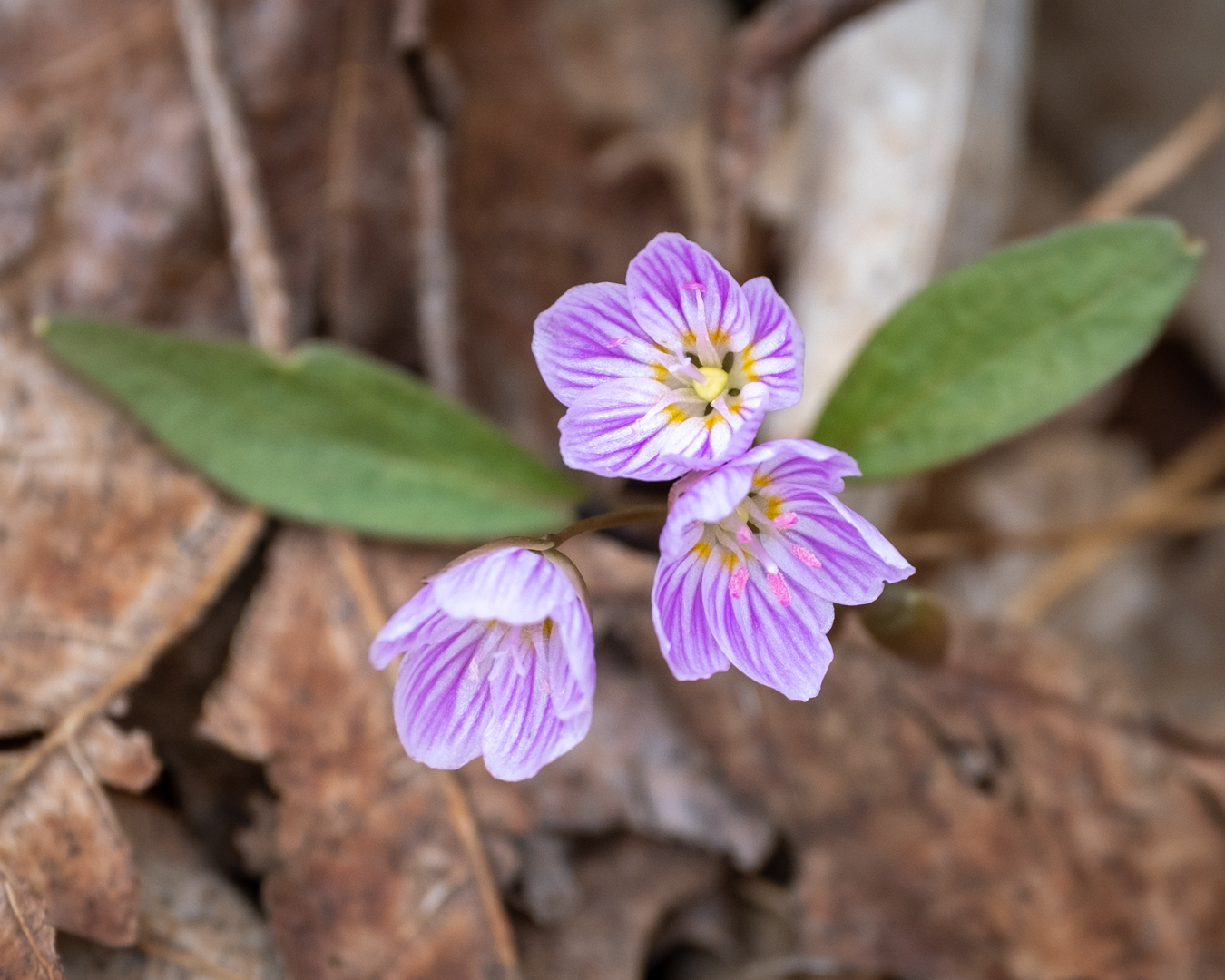
Biodiversity Spring Nature Walk: 3rd Annual Pools, Ponds & Peepers
https://hikesstaging.brucetrail.org/event/biodiversity-spring-nature-walk-3rd-annual-pools-ponds-peepers/Sorry, the registration cut-off time for this hike has been reached.Not a member? Click here to join today!Hosting Club: Caledon Hills
Category: Nature Walks
Location (Google Maps): Location: Meet at roadside parking at the dead end of Boston Mills Rd., about 400 m west of Mississauga Rd. Directions: From Hwy 10 take Boston Mills Rd. 6 km west to the dead end just west of Mississauga Rd. An alternative is to take Mississauga Rd. north from King St. about 3 kms, turn left on Boston Mills Rd. for about 400 mHike Leader(s): Richard Smythe Click here to contact Hike Leader(s)
Pace: Leisurely – 3 km/hour or less
Terrain: Moderate – some hills and/or some poor footing
Distance: 3.8 kmDescription
“There and back” on both the Main Trail and the Rockside Side Trail, about 3.8 km, with some hills and rugged sections. Hiking poles can be a great help. The pace will be slow at times with numerous stops to observe the spring ephemerals, listen to bird song and take photos. Bring your binoculars, camera and cellphone. Apps like Merlin, Seek, and iNaturalist will help identify flora and fauna along the route.Wednesday Walkers - Daphne & Dorothy Nicholls Nature Reserve and more
https://hikesstaging.brucetrail.org/event/wednesday-walkers-daphne-dorothy-nicholls-nature-reserve-and-more/Sorry, the registration cut-off time for this hike has been reached.Not a member? Click here to join today!Hosting Club: Beaver Valley
Location (Google Maps): Meet in the BTC parking lot on the south side of Grey Road 40, where the trail crosses, km 105.7, Edition 31
Hike Leader(s): Glenda Collings Click here to contact the hike leader.
Pace: Medium
Terrain: Moderate
Length of Hike: 7.4 kmDescription
Join us for an in and out hike north of Grey Road 40 through lovely autumn woods, including the Daphne and Gordon Nicholls Nature Reserve. No big hills to climb and great crevices to see. Bring water and a snack.COVID-19 Precautions Before, During and After your Hike
- Each hiker joining a Bruce Trail Club organized hike must perform a self-screening check before hiking.
Find Ontario’s self-assessment tool here: https://covid-19.ontario.ca/self-assessment/ - If you are experiencing COVID-19 symptoms, stay home.
Other Guidelines
- Arrive 15 minutes before the start of the hike.
- Wear sturdy footwear and appropriate attire for the weather and the terrain.
Hiking poles are a good idea in any season, especially if the terrain is rocky or slippery. In winter, snowshoes or icers/crampons are needed when conditions dictate.
Wearing appropriate clothing and footwear prevents injuries and shows consideration for a safe and positive group hiking experience. - Always carry I.D. and your health card.
- Bring sufficient water and snacks (or lunch if indicated). A minimum of 1L of water is recommended on all hikes, and 3L is recommended for long, challenging hikes in the heat of the summer.
- Bring sunscreen and insect repellent (for spring and summer hikes).
- Bring your own first aid kit.
Please leave dogs at home
11:00 am Hike & Picnic
https://hikesstaging.brucetrail.org/event/1100-am-hike-picnic-13/Sorry, the registration cut-off time for this hike has been reached.Not a member? Click here to join today!Hosting Club: Niagara
Category: Loop
Location (Google Maps): Locust Grove Picnic AreaHike Leader(s): Marion Hanover Click here to contact Hike Leader(s)
Pace: Medium
Terrain: Moderate
Distance: 7 kmDescription
Hike around Queenston area. Optional outdoor gathering in Locust Grove including pot luck picnic after the hike. - Each hiker joining a Bruce Trail Club organized hike must perform a self-screening check before hiking.
- 18April 18, 2024
9:00 am Long Hike Jordan to Moyer / Louth
https://hikesstaging.brucetrail.org/event/900-am-long-hike-jordan-to-moyer-louth-60/Sorry, the registration cut-off time for this hike has been reached.Not a member? Click here to join today!Hosting Club: Niagara
Location (Google Maps):
Jordan Hollow Park 3039 King St Jordan
Pace: Medium
Terrain: Moderate
: 10kDescription
From Jordan Hollow Hike the main trail to Upper and Lower Balls Falls, Moyer Road or Louth and Return. You must register for each hike. Bring Poles, sunscreen, bug spray , snack and a drink and dress for the weather
9:15 Short Hike, Jordan Hollow
https://hikesstaging.brucetrail.org/event/915-short-hike-jordan-hollow-106/Sorry, the registration cut-off time for this hike has been reached.Not a member? Click here to join today!Hosting Club: Niagara
Category: Hike
Location (Google Maps): Jordan Hollow Park, Jordan StationHike Leader(s): Bill Russell Click here to contact Hike Leader(s)
Pace: Medium
Terrain: Moderate
Distance: ~ 6kmsDescription
Hike the main and side trails around Jordan and Ball’s Falls. Bring hiking boots, water, sunscreen and bug spray.Beaver Valley End-to-End Hike 1 of 9
https://hikesstaging.brucetrail.org/event/beaver-valley-end-to-end-hike-1-of-9/Sorry, the registration cut-off time for this hike has been reached.Not a member? Click here to join today!Hosting Club: Caledon Hills
Category: End-to-End
Location (Google Maps): Meet at 9:15 am at the new parking area off Grey Rd. 40, 650 m east of Grey Rd. 7; km 105.7, Map 28 (Ed. 31). Shuttle to start at Blantyre (or alternative parking).Hike Leader(s): Nancy Mooney Click here to contact Hike Leader(s)
Pace: Medium – 3 to 4 km/hour
Terrain: Moderate – some hills and/or some poor footing
Distance: km 117.3 – 105.7 = 11.6 km totalDescription
This is the first hike of a series to complete the Beaver Valley Section going from the north to the south. It includes Anthea’s Waterfall, hardwood bush, fields and deep crevices.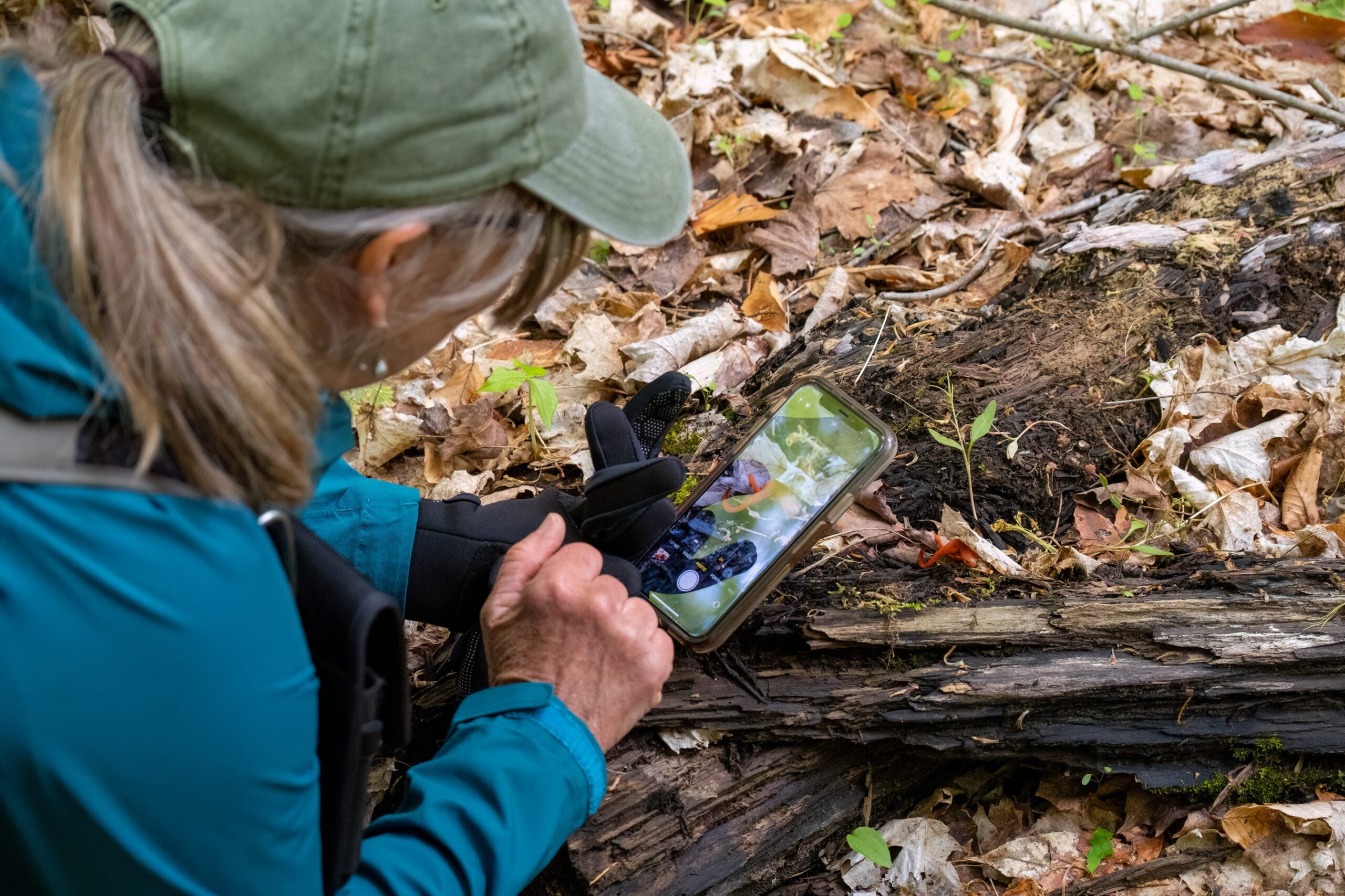
Nature Seekers Exploring Whitetail Refuge Nature Reserve
https://hikesstaging.brucetrail.org/event/nature-seekers-exploring-whitetail-refuge-nature-reserve/Sorry, the registration cut-off time for this hike has been reached.Not a member? Click here to join today!Hosting Club: Caledon Hills
Category: Nature Walks
Location (Google Maps): Meet at the Mono Community Centre, 200 m south of Mono Centre (County Road 8). 44.026195, -80.071516Directions: From ON-10 head east onto Dufferin Rd. 8/Mono Centre Rd. for 6.0 km. The Community Centre is on the right.
Hike Leader(s): Sandy Green Click here to contact Hike Leader(s)
Pace: Leisurely – 3 km/hour or less
Terrain: Moderate – some hills and/or some poor footing
Distance: 5 kilometresDescription
Join with other friends of the Caledon Hills Club to leisurely explore the emergence of spring on our Whitetail Refuge Nature Reserve. Bring your choice of hydration and snacks. Sturdy footwear is highly recommended. This hike can be counted towards the 60 for the 60th Anniversary Badge.
Hilton Falls and Beyond
https://hikesstaging.brucetrail.org/event/hilton-falls-and-beyond/Sorry, the registration cut-off time for this hike has been reached.Not a member? Click here to join today!Hosting Club: Iroquoia
Category: Thursday Group
Location (Google Maps): Hilton Falls Conservation Area, Campbellville Rd.Hike Leader(s): Phillip Armstrong Click here to contact Hike Leader(s)
Pace: Leisurely – 3km/hr or less
Terrain: Moderate – Some hills and/or some poor footing
Distance: 10 km.Description
Join us for a hike on some of the various trails within this conservation area. We will hike to the falls and then cross the creek to explore some of the trails beyond. Who knows, we may spot some early Spring wildflowers including some good patches of Walking Fern. Some of the trails will be rocky. Bring water, a snack, sunscreen and insect repellent (hopefully not needed!). Hiking poles will be useful for some sections.
Leader: Phill Armstrong You will be contacted a few days before to receive more contact information.