
Hike Schedule
Join us for a hike! Registration required.
All hikes available to BTC members. Some hikes are open to non-members.
See Refund Policy for Paid Hikes >
TIP: The calendar view displays up to 7 hikes on a day, but often there are more. Click “View more events” to see them all.
Categories
- 03March 3, 2024
Iroquoia Odyssey #6 - Burlington to Kilbride
https://hikesstaging.brucetrail.org/event/iroquoia-odyssey-6-burlington-to-kilbride/Sorry, the registration cut-off time for this hike has been reached.Not a member? Click here to join today!Hosting Club: Dufferin Hi-Land
Category: General Hike
Location (Google Maps): Parking lot behind Kilbride Public School in Kilbride. North end of Panton Street. Northwestern end of the Kilbride Side Trail near km 96.8 BTC map 10.Hike Leader(s): Stuart Law Click here to contact Hike Leader(s)
Pace: Medium
Terrain: Moderate, Slippery and Steep Sections, Slippery Sections Likely
Distance: 17 kmsDescription
Join us on the sixth of seven shuttle hikes to complete the Iroquoia Section. We will climb Mount Nemo, cross the Bronte Creek valley, learn why Bronte Creek is called Bronte Creek, learn about an explosion that could be heard for miles around, then head into Halton gem, Kilbride. Some road walking. Hiking boots, icers and poles essential. Please dress in layers for the weather. Mitts a good idea. Please bring a smile, warm drink, water, a snack and a lunch. Please meet at 8:45 am to be ready to shuttle at 9 am. Please bring a garbage bag and footwear to change into for the shuttle after the hike (it might be muddy).
CHBTC Frosty 5 & 60 for the 60th Anniversary Badge Combo
https://hikesstaging.brucetrail.org/event/chbtc-frosty-five-60th-anniversary-badge-combo-7/Sorry, the registration cut-off time for this hike has been reached.Not a member? Click here to join today!Hosting Club: Caledon Hills
Category: General
Location (Google Maps): Meet north of the intersection of Cataract Road and Mississauga Road at the Elora Cataract Trailway Trail Head. Google Coordinates: 43.813120, -80.028656Directions: From ON-10 head west on Charleston Sideroad/Peel Regional Rd. 24 for 5.5 km. Turn left onto Mississauga Rd. and drive for 1.0 km. Park on west shoulder.
Hike Leader(s): Sandy Green, Dan Revington, and Roopa Dindigal Click here to contact Hike Leader(s)
Pace: Medium – 3 to 4 km/hour
Terrain: Strenuous – hilly with steep climbs and some poor footing
Distance: 12 kilometresDescription
Register individually for one, a few, or all of the Frosty 5 and 60 for the 60th Anniversary Badge Combo hikes. Participants who complete five hikes will be eligible to receive a CHBTC Winter badge and a 60th Anniversary badge. This hike explores trails within the Forks of the Credit Provincial Park. Bring your choice of hydration and snacks. Hiking boots and icers/crampons are required. Hikes in the series take place on select Wednesdays and Sundays. (Note: If you wish to purchase badges, the cost of each badge is $10.00 for BTC members and $15.00 for non-members.)
Urban Walk: Waterfront Trail 7/8 - Brimley
https://hikesstaging.brucetrail.org/event/urban-walk-waterfront-trail-7-8-brimley-3/Sorry, the registration cut-off time for this hike has been reached.Not a member? Click here to join today!Hosting Club: Toronto
Category: Urban Walk
Location (Google Maps): Scarborough Waterfront TrailHike Leader(s): Brian Rideout Click here to contact Hike Leader(s)
Pace: Moderate
Distance: 11.4 km
Description
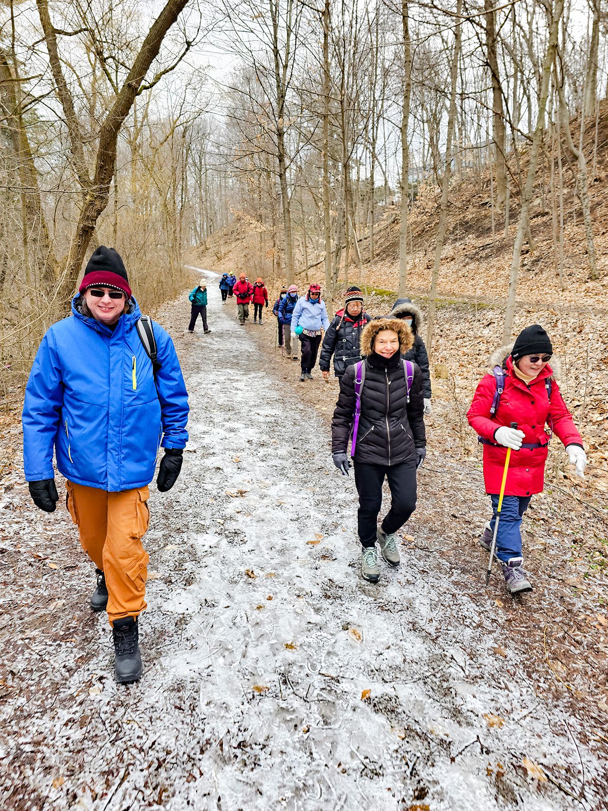
Please join me at Kennedy Station by 10:15 am. We will take the 12 Kingston Rd bus departing 10:30 am, arriving 10:45 am.We will hike along Kingston Rd, down to and east olong the Lake on the Doris MacCarthy Trail to Guildwood and then to Beechgrove Dr. The estimated distance is 11.4 km. Here is an online map of our route – Brimley to BeechgroveBring a snack, at least 2 liters of water, and icers. Dress for cold weather.