
Hike Schedule
Join us for a hike! Registration required.
All hikes available to BTC members. Some hikes are open to non-members.
See Refund Policy for Paid Hikes >
TIP: The calendar view displays up to 7 hikes on a day, but often there are more. Click “View more events” to see them all.
Categories
- 20March 20, 2024
Hart's Triple Inferno EARLY START
https://hikesstaging.brucetrail.org/event/harts-triple-hell-early-start/Sorry, the registration cut-off time for this hike has been reached.Not a member? Click here to join today!Hosting Club: Blue Mountains
Category: Register online ONLY
Location (Google Maps):Hike Leader(s): Hart Fischer Click here to contact Hike Leader(s)
Pace: Brisk – 4 to 5 km/hr
Terrain: Moderate – Some hills and/or some poor footing
Distance: 12 kmDescription
CONTACT Hike Leader to get directions for meet-up point. Three steep climbs makes for a very challenging hike. Footing is generally good but we may encounter some spots that are tricky along the way and
some road hiking. Terrain includes shale and sandstone. We will include Russ McConnell Side Trail, John Haigh Side Trail and Pretty River Side Trail at some point
along the way when you are least expecting it. It is always a strenuous and fulfilling adventure. Bring a snack or lunch and water.
8:30 Merritt Trail Hike Series #3
https://hikesstaging.brucetrail.org/event/830-merritt-trail-hike-series-3-2/Sorry, the registration cut-off time for this hike has been reached.Not a member? Click here to join today!Hosting Club: Niagara
Category: Car Pool
Location (Google Maps): Meet at the Parking Lot at Port Dalhousie Parking Lot and Car pool to Book Depot , 67 Front St North Thorold, 43.128058, -79.202189Hike Leader(s): Sam Rutherford Click here to contact Hike Leader(s)
Pace: Brisk
Terrain: Easy
Distance: 15kDescription
Hike from Thorold on mainly paved trails to Port Dalhousie. Bring snacks and a drink .Earn the Merritt Trail badge for all 3 hikes. Badge Presentation after the hike $10 per badge
RBG North Shore Trail
https://hikesstaging.brucetrail.org/event/rbg-north-shore-trail-12/Sorry, the registration cut-off time for this hike has been reached.Not a member? Click here to join today!Hosting Club: Iroquoia
Category: Good Companions
Location (Google Maps): Meet at the circular parking lot by the paviloin at the RBG Arboretum at 9:45Hike Leader(s): Linda Robinson Click here to contact Hike Leader(s)
Pace: Leisurely – 3km/hr or less
Terrain: Easy – Mostly flat and usually good footing
Distance: about 7 kmDescription
There are some hills. Be aware there are lyme disease carrying ticks in this area. - 21March 21, 2024
9:00 am Long Hike Jordan to Moyer / Louth
https://hikesstaging.brucetrail.org/event/900-am-long-hike-jordan-to-moyer-louth-62/Sorry, the registration cut-off time for this hike has been reached.Not a member? Click here to join today!Hosting Club: Niagara
Location (Google Maps):
Jordan Hollow Park 3039 King St Jordan
Pace: Medium
Terrain: Moderate
: 10kDescription
From Jordan Hollow Hike the main trail to Upper and Lower Balls Falls, Moyer Road or Louth and Return. You must register for each hike. Bring Poles, sunscreen, bug spray , snack and a drink and dress for the weather
9:15 Short Hike, Jordan Hollow
https://hikesstaging.brucetrail.org/event/915-short-hike-jordan-hollow-101/Sorry, the registration cut-off time for this hike has been reached.Not a member? Click here to join today!Hosting Club: Niagara
Category: Loop
Location (Google Maps): Jordan Hollow Park, 3039 King St., Jordan StationHike Leader(s): Bill Russell Click here to contact Hike Leader(s)
Pace: Medium
Terrain: Moderate
Distance: ~ 6kmsDescription
Hike the main and side trails around Jordan and Ball’s Falls. Bring hiking boots, water and icers. - 22March 22, 2024
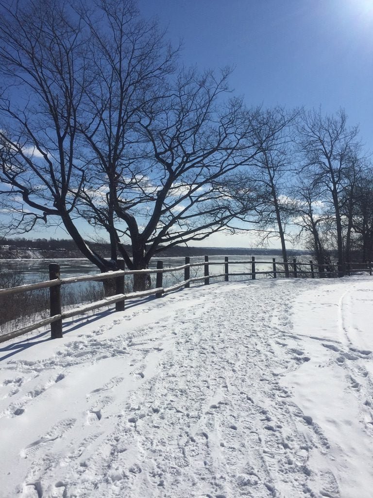
9:00 am Niagara-on-the-Lake Tour
https://hikesstaging.brucetrail.org/event/900-am-niagara-on-the-lake-tour-21/Sorry, the registration cut-off time for this hike has been reached.Not a member? Click here to join today!Hosting Club: Niagara
Location (Google Maps): Veterans Memorial Park, park just outside the park on King Street
Hike Leader(s): Robin Garrett Click here to contact Hike Leader(s)
Pace: Medium
Terrain: Easy
Distance: 6-7 kmDescription
Each Friday we will explore different neighbourhoods, trails and parkland throughout Historic Niagara-on-the-Lake.Moderate pace with some weeks entirely on sidewalks and roads while others may include a mix of trails and paved pathways. Great way to build up endurance for longer more strenuous hikes.
Prepare for cooler windy conditions on open parkland and along Lake Ontario and Niagara River trails.
Plan to stay for conversation and a warm cup of coffee or tea at Sweets & Swirls, Community Centre, Niagara Stone Road, NOTL
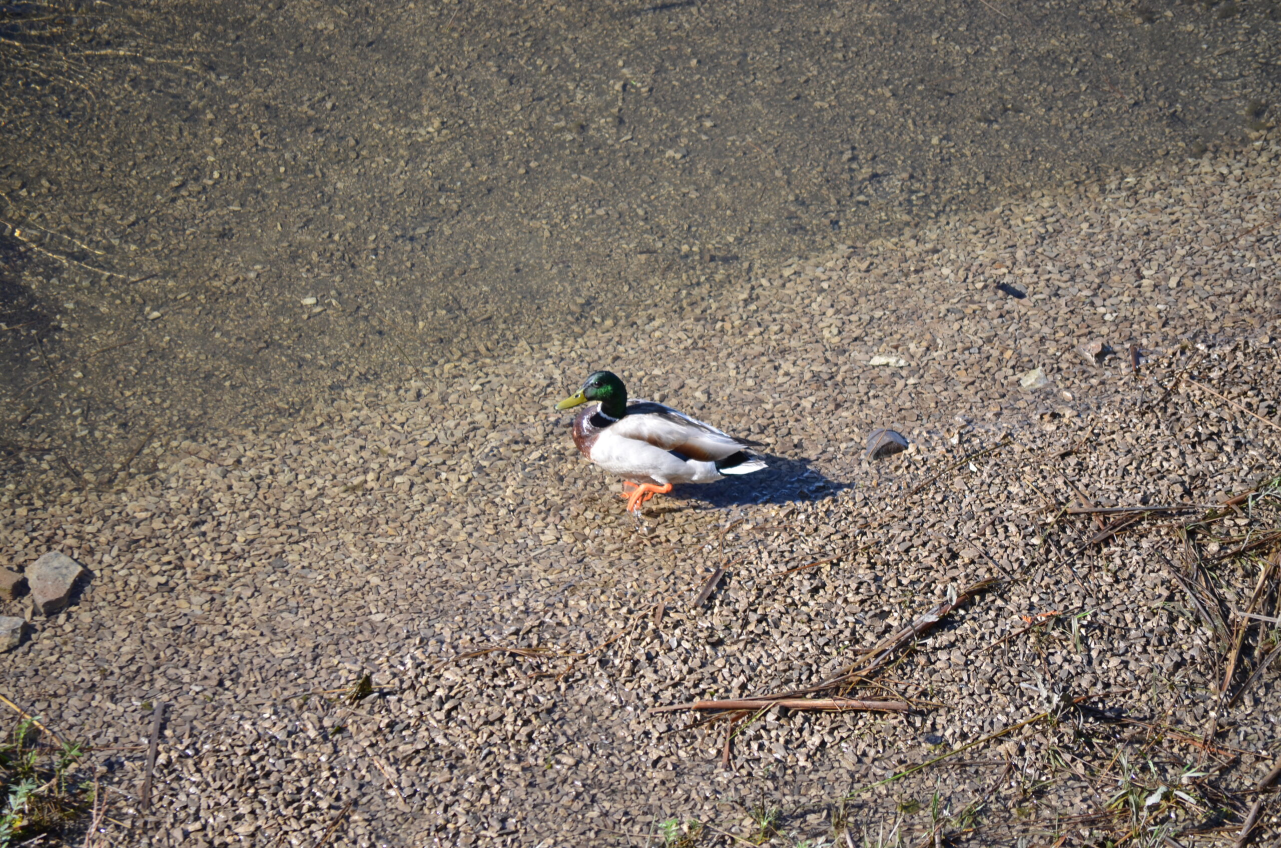
Spring & Migration Monitor Hike
https://hikesstaging.brucetrail.org/event/spring-migration-monitor-hike-5/Sorry, the registration cut-off time for this hike has been reached.Not a member? Click here to join today!Hosting Club: Peninsula
Location (Google Maps): Borchardt Rd Parking Lot – km 108.5 in the 31st Ed Manual
Hike Leader(s): Tamara Wilson Click here to contact Hike Leader(s)
Pace: Leisurely
Terrain: Difficult
Distance: 6kmDescription
Starting on the Borchardt Rd parking lot (km 108.7), we will follow the Minhinnik ST to the Lillie Family parking area on Britain Lk Rd at the Cotrill Lake ST (110.8 km) we will loop around the Cotrill Lk ST spending time on the shores looking for the arrival of water fowl. On the return trip to the cars, we will follow the Main Trail South, looking for grebes, loons and other shoreline birds that frequent Dyers Bay. We will visit the Devil’s Monument viewing platform, and check out the waterfall before heading back to the parking lot along Devil’s Monument ST and the Minhinnik to Borchardt Rd. Throughout our hike, we will keep an eye out for the arrival of spring flowers and other harbingers of spring. This route is quite rocky in places with stairs. The Trail may be wet and muddy around Cotrill Lake. We will be taking stairs down to the viewing platform and the waterfall. Total distance is around 8 km. This hike may take 3 hours to complete. Pack snacks and drinks accordingly.Maple Cross Reserve near Kemble, ON
https://hikesstaging.brucetrail.org/event/sydenham-nature-reserve-3/Sorry, the registration cut-off time for this hike has been reached.Not a member? Click here to join today!Hosting Club: Sydenham
Category: General Hike
Location (Google Maps):319897 Kemble Rock Road, Kemble Arena. Carpool from this location to trail head
Hike Leader(s): Carol Graham-Mullin Click here to contact Hike Leader(s)
Pace: Leisurely: 3 km/h or less
Terrain: Easy: Mostly flat and good footing., Moderate: Some hills and/or poor footing, There might be muddy sections.
Distance: 5.0 km approxDescription
We will make a balloon loop through this beautiful forest reserve from Concession 24 road allowance access. Water and snacks as needed. Text or call hike leader 226-787-8804 for any questions or if unable to register. - 23March 23, 2024
Car Hike: Toronto E2E 1/3
https://hikesstaging.brucetrail.org/event/car-hike-toronto-e2e-1-3-2/Sorry, the registration cut-off time for this hike has been reached.Not a member? Click here to join today!Hosting Club: Toronto
Category: Car Hike
Location (Google Maps):We will meet at km 17.4 (GPS N43.615163, W79.975157) on the east side of the road where the trail crosses Fourth Line.
Hike Leader(s): Jacquie Van Dyke Click here to contact Hike Leader(s)
Pace: Moderate
Terrain: Variable
Distance: 18 kmDescription
This is the first of three hikes to hike the Toronto section E2E. We will be hiking in early spring conditions (mud, ice, snow) so be prepared for it all. Please bring your icers, gaitors, and poles. Hiking boots/shoes are mandatory. Please bring at least 2L of water, snacks, and your lunch.We will be shuttling to Hilton Falls CA parking, close to Appleby Line, and hiking by the location of the first blaze on the Bruce Trail. Please note, we will need to pay for parking at Hilton Falls. If any hiker has an annual pass, please let me know. Pass holders can do this shuttle and the rest of the hikers are expected to pay the driver $2. If there are no pass holders, hikers will share the cost of the parking. Hikers are expected to follow all Covid 19 restrictions.
Please arrive by 8:00 so we can get organized. We will begin our shuttle at 8:15 am.
Car Hike: Bethesda Trail Richmond Hill
https://hikesstaging.brucetrail.org/event/car-hike-bethesda-trail-richmond-hill-16/Sorry, the registration cut-off time for this hike has been reached.Not a member? Click here to join today!Hosting Club: Toronto
Location (Google Maps): Meet at Bethesda Trail Head Parking on Bethesda Sideroad off Bayview Avenue, across from Lake Wilcox. This parking lot is free.
Hike Leader(s): Mohammad Aghamiri Click here to contact Hike Leader(s)
Pace: Moderate
Terrain: Variable
Distance: 14-17KMDescription
Join us to explore Jefferson Forest and Bond lake ,Please bring hiking poles, proper closing and shoes and lots of water,
Please carefully read safety procedures during the hike:
1-Hikers must stay between the leader and the sweep.
2-Hikers must advise the leader or the sweep if they wish to leave the group.
3- Hikers must follow the whistle instructions: 1 blast- stay where you are; 2 blasts come to the leader; 3 blasts – come to the leader quickly.
4-Hike leader may request volunteers to stop at trail intersections, they need to help hikers to the direction the group walk and wait till they see the sweep .
5-Hikers have to make sure they can see the persons behind and in front of them.

9:00 am Hydro Hill Training
https://hikesstaging.brucetrail.org/event/900-am-hydro-hill-training-4/Sorry, the registration cut-off time for this hike has been reached.Not a member? Click here to join today!Hosting Club: Niagara
Category: In and Out
Location (Google Maps):Lockhart Drive, St Catharines, by the large yellow swing gate.
Hike Leader(s): Suzanne Gourluck Click here to contact Hike Leader(s)
Pace: Brisk
Terrain: Strenuous
Distance: 6 kmsDescription
This challenging “hike” is intended for those wishing to train for future challenging hikes. Choose your own pace to go up and down the moderately steep hill for 90 minutes with a brief flat walk partway through. The terrain is a hard packed gravel surface. Bring water, hiking poles, snack and dress for the weather.
9:00 Black History in NOTL: In Honour of Chloe Cooley
https://hikesstaging.brucetrail.org/event/900-in-honour-of-chloe-cooley-2/Sorry, the registration cut-off time for this hike has been reached.Not a member? Click here to join today!Hosting Club: Niagara
Category: In and Out
Location (Google Maps):General Brock Side Trail Parking Area- on Niagara River Parkway, east of the John St. E intersection
Hike Leader(s): Karen Couch Click here to contact Hike Leader(s)
Pace: Brisk
Terrain: Easy
Distance: 16 kmsDescription
On March 14, 1793 Chloe Cooley, an enslaved Black woman living in Queenston, strongly resisted as she was bound, thrown in a boat and taken across the river to a new enslaver in the United States. On 21 MAR, 1793, two men testified to her capture at the Executive Council of Upper Canada (at Navy Hall). Her brave act of resistance led to the 1793 Act to Limit Slavery, the first of its kind in the British Empire. This paved the way to freedom for so many others like Chloe & set the stage for the great freedom movement of enslaved African Americans to Canada.Participants will walk along the Niagara Parkway to a plaque that marks the place where this incident may have place, then return along the same route with a stop at Navy Hall, the site where Executive Council met.
Open the link below to view the Chloe Cooley Heritage Minute.
https://www.youtube.com/watch?v=cLPMlNSQjOg
*This hike counts as 1 of 3 required hikes towards the Black History badge. If you have met the requirements, and are interested in a badge, please remember to bring $10.*
PLEASE NOTE: Hikes are offered by BTC volunteers who have committed to their own learning, to be able to offer informative and contemplative hike experiences. These hikes are open to all & offered in a spirit of mutual leaning and inclusion.
Beaverdale Forest
https://hikesstaging.brucetrail.org/event/beaverdale-forest/Sorry, the registration cut-off time for this hike has been reached.Not a member? Click here to join today!Hosting Club: Blue Mountains
Category: Register in person the morning of hike.
Location (Google Maps): Hike meets in the parking lot behind Tim Hortons on First St. in Collingwood.Hike Leader(s): Michael Treuman Click here to contact Hike Leader(s)
Pace: Medium – 3 to 4 km/hr
Terrain: Moderate – Some hills and/or some poor footing
Distance: 8 kmDescription
We will park at km 91.9 on Sideroad 16C in the Beaver Valley section.
We will follow the white blazed trail north to km 94.9 and return via the Sligo Side Trail
to the cars. The trail meanders through varied wilderness terrain that includes extensive
wetlands, a large beaver pond, deciduous forest, spruce and pine plantations and an
old forest road. Bring a snack and water.
9:30am - Fundraiser Toronto End to End - 3 Hikes for the Limehouse Arch Badge
https://hikesstaging.brucetrail.org/event/945am-fundraiser-toronto-end-to-end-3-hikes-for-the-limehouse-arch-badge/Sorry, the registration cut-off time for this hike has been reached.Not a member? Click here to join today!This is a Multi-Day Hike
You are signing up for the following dates and times:
2024-03-23 at 09:30
2024-03-24 at 09:30
2024-03-30 at 09:30Hosting Club: Iroquoia, Toronto
Category: General Hike
Location (Google Maps): Parking capacity is in brackets.
March 23 – Meet on 3rd line (Charles Hildebrandt Side Trail)) – 15kms
March 24 – Meet at Scottsdale Farm on Trafalgar Rd Parking Lot – 14.4kms
March 30 – Meet at Roadside pkg at Boston Mills Rd just west of the Mississauga Rd intersection. Note: Driveway is private property . 43.750866, -79.951452 (5) 17kmHike Leader(s): Anita Bergsma Click here to contact Hike Leader(s)
Pace: Medium – 3 to 4 km/hr
Terrain: Moderate – Some hills and/or some poor footing
Distance: Varies – two long days and one short one.Description
Join us for this special 3 day Toronto End to End this spring on March 23, 24, and 30, 2024. The hikes will be at a moderate pace 3-4km per hour. This is suitable for intermediate to advanced hikers.We will be using hiker’s vehicles to shuttle between to our start from our meeting point. As well, there will be entry costs at Hilton Falls. (If you are a member of Halton Conservation, please bring your pass). Costs will be shared amongst the hikers unless you have a pass.
Proper hiking boots is a must! Bring hiking poles (if you use them), food, snacks, 2l of water, hat, and rain gear. It may be cool, wet or warm. Please check the weather forecast each day before heading out.
Arrive by 9:30 am to check in. Once everyone has arrived, we will proceed and drive to the starting point.
Your fee includes the guidance and organization of a volunteer hike leader. Everyone will receive their Stained-glass End to End badge upon completion which depicts the historic Limehouse Arch.
If you must miss a day but can make it up before the last scheduled hike, you will still qualify for this special badge. This is a fundraising hike for the Bruce Trail Club. Proceeds go to the Toronto Club to support the trail infrastructure and to the Bruce Trail Conservancy mission “Protecting this ribbon of wilderness, for every one, forever.”Please, no dogs or children.
There are no refunds for this hike series. Please ensure you are physically capable of these distances before signing up for this hike.
If you have any questions, please enquire to the hike leader through this form.
Urban Walk: Sherwood Park/Sunnybrook Park
https://hikesstaging.brucetrail.org/event/urban-walk-sherwood-park-sunnybrook-park-2/Sorry, the registration cut-off time for this hike has been reached.Not a member? Click here to join today!Hosting Club: Toronto
Category: Urban Walk
Location (Google Maps):NE Corner Yonge & Lawrence (by subway exit)
Hike Leader(s): Tom Swales
Pace: Moderate
Terrain: Variable
Distance: 12 KMDescription
Join us for a hike through ravines from Yonge & Lawrence to Sunnybrook & Serena Gundy parks to end at Brentcliffe & Eglinton. Those who wish may continue to a refreshment stop at the Longo’s on Laird Ave. All are welcome but proper ice traction footwear (icers) is mandatory for safety reasons.Soup's On Hike! Foothills in Ravenna
https://hikesstaging.brucetrail.org/event/soups-on-hike-foothills-in-ravenna/Sorry, the registration cut-off time for this hike has been reached.Not a member? Click here to join today!Hosting Club: Beaver Valley
Location (Google Maps): There is a long driveway up to the house, some cars will park at the top, when that’s full, others will park along the driveway. The property is located at 496101 on the Eastside of Grey Rd 2. – exactly 1k North of the Ravenna Country Market.
Hike Leader(s): Glenda Collings Click here to contact the hike leader.
Pace: Medium
Terrain: Moderate
Length of Hike: Approx. 4 km, about 1 1/2 hoursDescription
SOUP’S ON! Join us for a lovely snowshoe on the property of Larry & Barb Hall, where we’ll hike through well laid out trails to see some wonderful views. Afterward we’ll enjoy a warming lunch in their home. They will provide the soup, plus coffee & tea and you’ll bring a sandwich, or your choice of accompaniment to go with it. If you’d like to bring goodies to share for dessert, feel free! Folks are welcome to show up just for the lunch, or conversely, just for the hike. If you are there just for lunch, please arrive about 12:00p.m. We may still be on the trail. Depending on the conditions, we may use snowshoes, icers or just boots, so please come prepared. If you have any questions please contact beavervalleytrailactivities@gmail.com. The hike leader will inform the group in the morning on Mar. 23 if weather conditions preclude the hike. Hope to see you there! Please car pool if possible.COVID-19 Precautions for your Hike
- Each hiker joining a Bruce Trail Club organized hike must perform a self-screening check before hiking.
Find Ontario’s self-assessment tool here: https://covid-19.ontario.ca/self-assessment/ - If you are experiencing COVID-19 symptoms, stay home.
Transportation
All hikers are responsible for their own transportation to and from the hike.
Currently, there are no car shuttles on hikes – all hikes must be out-and-back or loop hikes.
Other Guidelines
- Arrive 15 minutes before the start of the hike.
- Wear sturdy footwear and appropriate attire for the weather and the terrain.
Hiking poles are a good idea in any season, especially if the terrain is rocky or slippery. In winter, snowshoes or icers/crampons are needed when conditions dictate.
Wearing appropriate clothing and footwear prevents injuries and shows consideration for a safe and positive group hiking experience. - Always carry I.D. and your health card.
- Bring sufficient water and snacks (or lunch if indicated). A minimum of 1L of water is recommended on all hikes, and 3L is recommended for long, challenging hikes in the heat of the summer.
- Bring sunscreen and insect repellent (for spring and summer hikes).
- Each hiker joining a Bruce Trail Club organized hike must perform a self-screening check before hiking.