
Hike Schedule
Join us for a hike! Registration required.
All hikes available to BTC members. Some hikes are open to non-members.
See Refund Policy for Paid Hikes >
TIP: The calendar view displays up to 7 hikes on a day, but often there are more. Click “View more events” to see them all.
Categories
- 04February 4, 2024
Iroquoia Odyssey #3 - Jolly Cut to Dundas Valley
https://hikesstaging.brucetrail.org/event/iroquoia-odyssey-3-jolly-cut-to-dundas-valley/Sorry, the registration cut-off time for this hike has been reached.Not a member? Click here to join today!Hosting Club: Dufferin Hi-Land
Category: General Hike
Location (Google Maps): Dundas Valley Conservation Area. Enter from Governor’s Road, 3.5 km west of Main Street in Dundas.Hike Leader(s): Stuart Law Click here to contact Hike Leader(s)
Pace: Medium
Terrain: Moderate, Slippery and Steep Sections, Slippery Sections Likely
Distance: 18 kmsDescription
Join us on the third of seven shuttle hikes to complete the Iroquoia Section. We proceed west along the brow with great sights of the Hammer and its environs until we arrive in the Dundas Valley which we shall descend. Lots of waterfalls. Hiking boots, icers and poles essential. Please dress in layers for the weather. Mitts a good idea. Please bring a smile, warm drink, water, a snack and a lunch. Please meet at 8:45 am to be ready to shuttle at 9 am. Please bring a garbage bag and footwear to change into for the shuttle after the hike (it might be muddy). Parking fee applicable to enter the conservation area.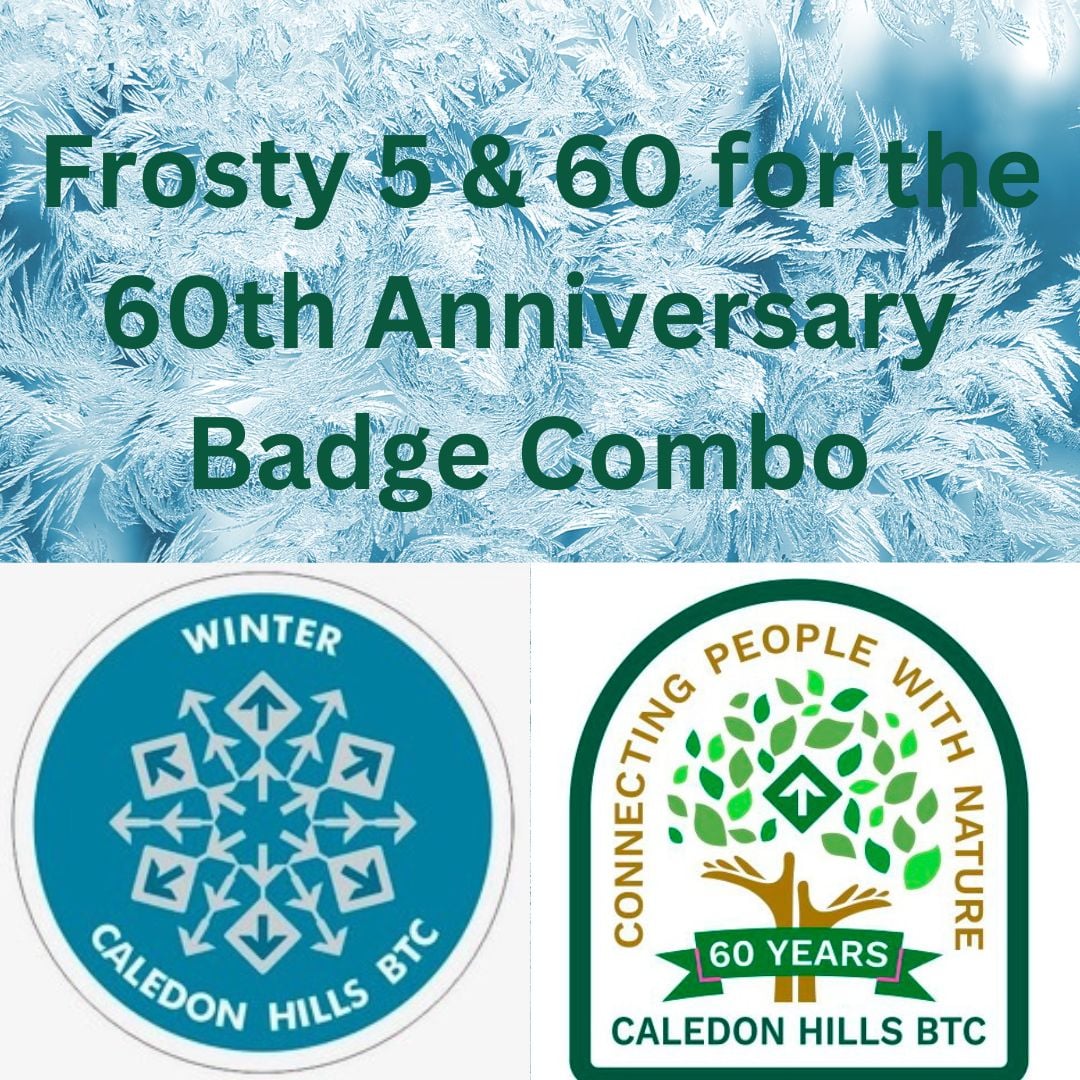
CHBTC Frosty 5 and 60 for the 60th Anniversary Combo
https://hikesstaging.brucetrail.org/event/chbtc-frosty-five-60th-anniversary-combo/Sorry, the registration cut-off time for this hike has been reached.Not a member? Click here to join today!Hosting Club: Caledon Hills
Category: General
Location (Google Maps): Meet at roadside parking on Coolihans Sideroad, east of where the Trail crosses the road. 43.937967, -79.934650Directions: From ON-10 head east for 8.0 km. Turn left onto Airport Rd./Peel Regional Rd. 7 and drive for 2.0 km. Turn right onto Coolihans Side Rd. Parking is in 1.5 km.
Hike Leader(s): Sandy Green and Dan Revington Click here to contact Hike Leader(s)
Pace: Medium – 3 to 4 km/hour
Terrain: Strenuous – hilly with steep climbs and some poor footing
Distance: 12 kilometresDescription
Register individually for one, a few, or all of the Frosty 5 and 60 for the 60th Anniversary Badge Combo hikes. Participants who complete five hikes will be eligible to receive a CHBTC Winter badge and a 60th Anniversary badge. This hike explores MT and the Glen Haffy Side Trail. Bring your choice of hydration and snacks. Hiking boots and icers/crampons are required. Hikes in the series take place on select Wednesdays and Sundays. (Note: If you wish to purchase badges, the cost of each badge is $10.00 for BTC members and $15.00 for non-members.)

Sunday Rambles at RBG (Princess Pt) - rescheduled
https://hikesstaging.brucetrail.org/event/sunday-rambles-at-rbg-princess-pt/Sorry, the registration cut-off time for this hike has been reached.Not a member? Click here to join today!Hosting Club: Iroquoia
Category: General Hike
Location (Google Maps): Meet at the Princess Point parking lot at the end of Macklin Street North in Hamilton. Macklin Street North is accessed either from Main Street West or King Street West, depending on which way you enter Hamilton. Please note that this is Royal Botanical Gardens property so you must use either an RBG parking pass or pay at the parking machines. Parking can be paid for by the hour.Hike Leader(s): Colleen Mabalay Click here to contact Hike Leader(s)
Pace: Medium – 3 to 4 km/hr
Terrain: Moderate – Some hills and/or some poor footing
Distance: 6-7kmDescription
Meet at 9:45am. You will need to pay for parking or use your RBG parking member pass. Bring water and snack. Dress according to weather conditions (icers).Please text me at (905) 815-7100 on the evening before or morning of hike if you are unable to attend.

Urban Walk: Waterfront Trail 3/8 - Long Branch
https://hikesstaging.brucetrail.org/event/urban-walk-waterfront-trail-3-8-long-branch-2/Sorry, the registration cut-off time for this hike has been reached.Not a member? Click here to join today!Hosting Club: Toronto
Category: Urban Walk
Location (Google Maps): Etobicoke Waterfront TrailHike Leader(s): Brian Rideout Click here to contact Hike Leader(s)
Pace: Moderate
Terrain: Flat
Distance: 9 kmDescription
Please join me at Kipling Station by 9:15 am. We will take the 123 bus departing 9:30 am, arriving 9:53 am. If you want to meet us at the Long Branch loop, be there by 9:53 am. We start hiking at 10:00 am.We will hike to the lake and then east to Parklawn. There we can catch a bus to Old Mill Station or take the Lakeshore bus / streetcar. The estimated distance is 9 km. Here is an online map of our route – Long Branch to Parklawn
Bring a snack, at least 2 liters of water, and icers. Dress for cold weather.

Hike and Art: Woodbine Subway Station to Leslieville via Ashbridge's Bay Park
https://hikesstaging.brucetrail.org/event/hike-and-art-woodbine-subway-station-to-leslieville-via-ashbridges-bay-park/Sorry, the registration cut-off time for this hike has been reached.Not a member? Click here to join today!Hosting Club: Toronto
Category: Urban Walk
Location (Google Maps): Please meet in front of Woodbine Subway Station on Woodbine Avenue.Hike Leader(s): Andrew Proczek Click here to contact Hike Leader(s)
Pace: Moderate
Terrain: Flat
Distance: 11 kmDescription
We will hike to Woodbine Beach and Ashbridge’s Bay Park via a collection of parks and trails, including the little known Small’s Creek and Williamson Ravine. Our destination will be Leslie Grove Gallery, 1158 Queen Street East, in Leslieville where one of our finest new hike leaders, KJ Chong (Ke-Jia) will be exhibiting an artwork for the first time in an indoor gallery as part of a group show. For KJ the last few years have been a parallel journey between becoming a hike leader for TBTC and an artist and she very proficient at both. Please join me as we celebrate a talented and outstanding person among us. KJ will be on hand to greet us.The Route:https://onthegomap.com/s/svqu40d2
Sunday Social Hike - Snowshoe out and back on rail trail
https://hikesstaging.brucetrail.org/event/sunday-social-hike-snowshoe-out-and-back-on-rail-trail/Sorry, the registration cut-off time for this hike has been reached.Not a member? Click here to join today!Hosting Club: Sydenham
Category: Snowshoe Hike
Location (Google Maps): The SNELs, 2888 3rd Ave. W., Owen SoundHike Leader(s): Bill Snel
Pace: Leisurely: 3 km/h or less
Terrain: Easy: Mostly flat and good footing.
Distance: 5 kmDescription
We will snowshoe out on the Georgian Bluffs rail trail at a slight incline and then return. Depending on snow conditions and the amount of snowmobile traffic, conditions will vary. If unable to register or for information contact the hike leader at w.snel2@gmail.com or landline (519) 470-0584.