
Hike Schedule
Join us for a hike! Registration required.
All hikes available to BTC members. Some hikes are open to non-members.
See Refund Policy for Paid Hikes >
TIP: The calendar view displays up to 7 hikes on a day, but often there are more. Click “View more events” to see them all.
Categories
- 25February 25, 2024
Milton Escarpment Brow
https://hikesstaging.brucetrail.org/event/milton-escarpment-brow/Sorry, the registration cut-off time for this hike has been reached.Not a member? Click here to join today!Hosting Club: Dufferin Hi-Land
Category: General Hike
Location (Google Maps): Hilton Falls CA parking lot. 4985 Campbellville Road, Milton, L7P 0G3Hike Leader(s): Stuart Law Click here to contact Hike Leader(s)
Pace: Medium
Terrain: Slippery Sections Likely, Slippery and Steep Sections, Strenuous
Distance: 16 kmsDescription
Join us on a shuttle hike taking in part of the Vanderleck Side Trail and Main Trail at 17 Sideroad to and including the Philip Gosling Side Trail in the Hilton Falls Conservation Area. Great views from the cliffs of the land to the southeast including Toronto. The terrain includes some of the rockiest sections of the Bruce Trail and it will be slippery, muddy and icy. Icers and hiking boots mandatory. Poles highly recommended. Admission fee at Hilton Falls CA payable and reservation required on the Conservation Halton website. Please be respectful of the interior of your fellow hiker’s car by bringing a change of footwear and a garbage bag for the shuttle at the end of the hike. While we will be hiking in the Hilton Falls CA, we will not be taking in the Falls themselves. Please be at the Hilton Falls CA parking lot ready to shuttle at 8:45 sharp. Please bring a smile, a warm drink, lunch and a snack.
CHBTC Frosty 5 & 60 for the 60th Anniversary Badge Combo
https://hikesstaging.brucetrail.org/event/chbtc-frosty-five-60th-anniversary-badge-combo-5/Sorry, the registration cut-off time for this hike has been reached.Not a member? Click here to join today!Hosting Club: Caledon Hills
Category: General
Location (Google Maps): Meet at the BTC parking lot on the east side of 5th Line EHS, just south of Hockley Road. 43.993572, -80.014057Directions: From ON-10 turn east onto Hockley Rd./Dufferin County Rd. 7. Drive for 9.5 km. Turn south/right onto 5th Line E. The parking lot is on the left in 100 m.
Hike Leader(s): Sandy Green, Jennie Greenfield, and Roopa Dindigal Click here to contact Hike Leader(s)
Pace: Medium – 3 to 4 km/hour
Terrain: Strenuous – hilly with steep climbs and some poor footing
Distance: 12 kilometresDescription
Register individually for one, a few, or all of the Frosty 5 and 60 for the 60th Anniversary Badge Combo hikes. Participants who complete five hikes will be eligible to receive a CHBTC Winter badge and a 60th Anniversary badge. This hikes explores parts of the main Trail and Hemlock Ridge, Griffith Ravine, and Glacier Valley Side Trails in the south Hockley Valley area. Bring your choice of hydration and snacks. Hiking boots and icers/crampons are required. Hikes in the series take place on select Wednesdays and Sundays. (Note: If you wish to purchase badges, the cost of each badge is $10.00 for BTC members and $15.00 for non-members.)
#3/4 Feb 23 -26 Bruce Peninsula National Park Hike - 12km
https://hikesstaging.brucetrail.org/event/bruce-peninsula-national-park-hike-12km/Sorry, the registration cut-off time for this hike has been reached.Not a member? Click here to join today!Hosting Club: Toronto, Peninsula
Category: Car Hike
Location (Google Maps): Bruce Peninsula National Park Parking LotHike Leader(s): Alina Lin Click here to contact Hike Leader(s)
Pace: Moderate
Terrain: Challenging, Hilly, Rocky, Variable
Distance: 10km -12kmDescription
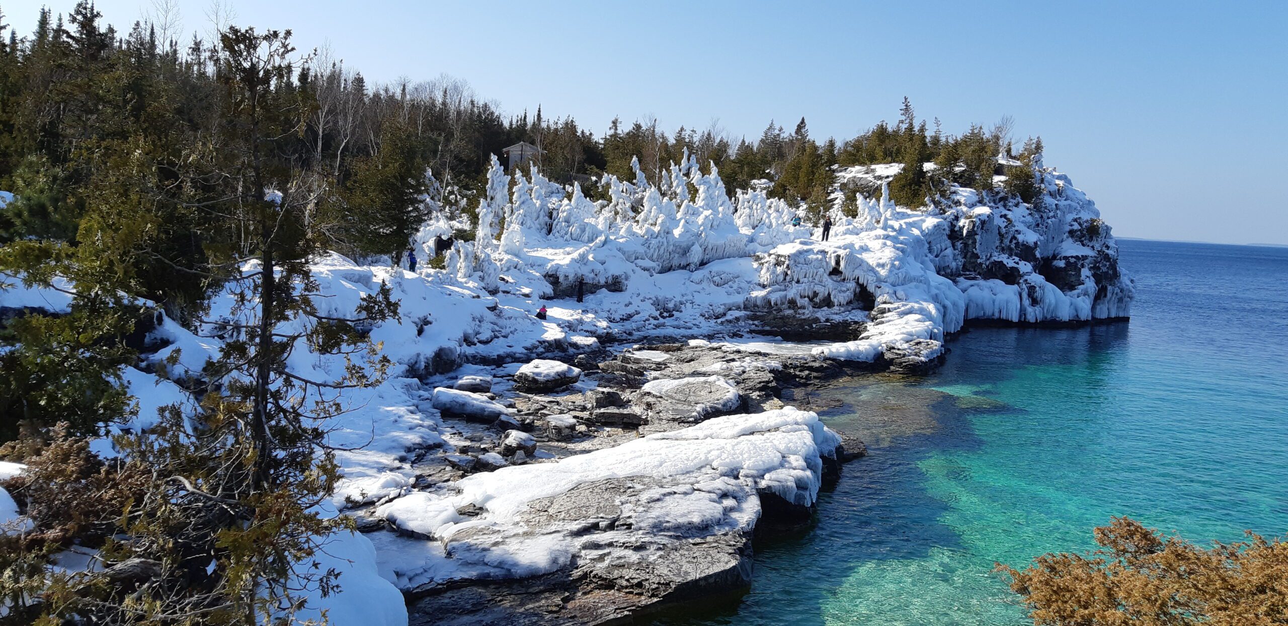
This is one of the four day hikes scheduled from Feb 23 to 26. If you are interested in participating in all four hikes and staying in an Airbnb with some of us, please reach out to me.Meetup at the Bruce Peninsula National Park parking lot. GPS coordinates: 45.236363, -81.522626. Admission and parking fees are applied by the Park. We will hike go-and-back along the main trail between Loon Lake and Halfway Dump. The terrain is rocky and rugged so be prepared for some challenges.
Pack lunch and water. No dogs.
It may not be clear ahead of time whether snowshoes are needed or just icers will be sufficient. Come prepared for anything. Icers/microspikes are a must-have.

Urban Walk: Waterfront Trail 6/8 - Lakeshore East
https://hikesstaging.brucetrail.org/event/urban-walk-waterfront-trail-6-8-lakeshore-east-3/Sorry, the registration cut-off time for this hike has been reached.Not a member? Click here to join today!Hosting Club: Toronto
Category: Urban Walk
Location (Google Maps): Toronto/ScarboroughHike Leader(s): Brian Rideout Click here to contact Hike Leader(s)
Pace: Moderate
Terrain: Flat
Distance: 10.9 kmDescription
Please join me at the Tim Horton’s at Lakeshore and Leslie no later than 9:50 am. We start hiking at 10:00 am.We will hike east on Lakeshore, along the Beaches Boardwalk, and on Kingston Rd to Brimley Rd. The estimated distance is 10.9 km. Here is an online map of our route Lakeshore to Brimley RdBring a snack, at least 2 liters of water, and icers. Dress for cold weather.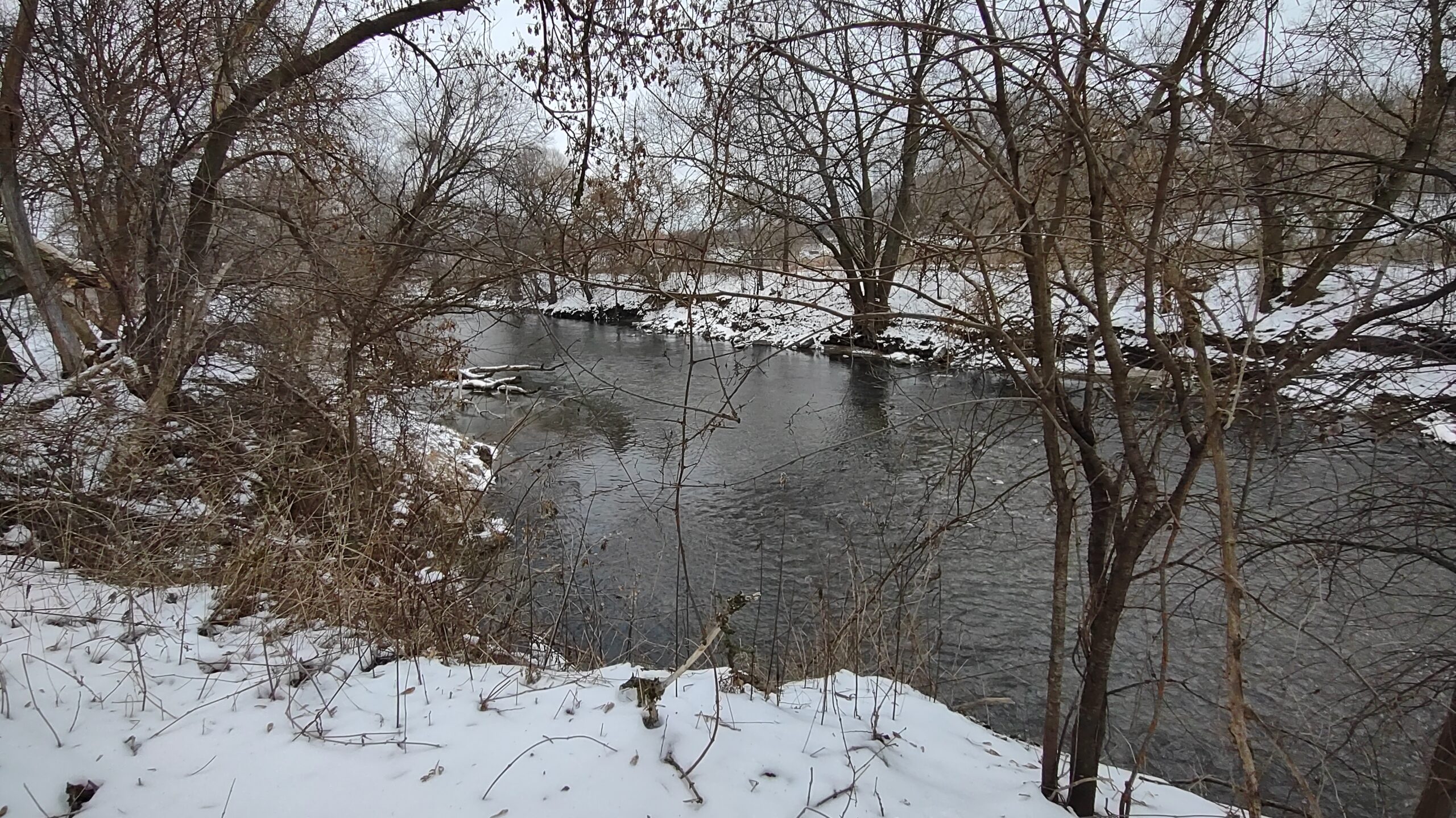
Urban Walk: Wayne Hike: Crothers Woods to Victoria Park Subway via Flat and Taylor Creek Trails
https://hikesstaging.brucetrail.org/event/urban-walk-wayne-hike-crothers-woods-to-victoria-park-subway-via-flat-and-taylor-creek-trails/Sorry, the registration cut-off time for this hike has been reached.Not a member? Click here to join today!Hosting Club: Toronto
Category: Urban Walk
Location (Google Maps): Meet inside Pape Subway Station at 10:15 to catch the #81 Thorncliffe Park bus at 10:30 to Millwood Rd and Overlea Blvd. From the bus stop we will walk along Millwood to Redway Rd on the left and follow it to the end around the Loblaws to the Thomas Hauser Memorial Trail Head. Alternatively, hikers wanting to meet us there directly by foot or car can do so. The proper hike will leave from the trail head at 11 am.Hike Leader(s): Andrew Proczek Click here to contact Hike Leader(s)
Pace: Moderate
Terrain: Flat, Variable
Distance: 10 kmDescription
“I decided to check out an alternative route along the Don River to avoid cycle traffic on [weekends] and it is pretty nice. I picked up the trail at the parking lot for the Loblaws on Redway Road and worked down into the valley to where it intersected with the Flats Trail on the west side of the Don River. No pavement and few bikes. Mosquitoes and stinging nettles but that is better than dodging bikes. 10 km in just over 2 hours. Need to walk with people to slow down. This on the go application is very useful in planning or tracing routes after the fact.” https://onthegomap.com/s/1u3tdtkuWayne Crockett, June 12, 2020
Please join me for this original Wayne hike. Just as Wayne did we will walk from the bus stop at Millwood and Overlea, by the Loblaws to the Crothers Wood’s Trailhead to begin the proper hike which will remain in nature until we reach Dawes Road at 8.7 km. There will be no mosquitos or Stinging Nettle but the weather forecast is calling for a return to freezing temperatures, so icers may be required. And this is a good thing since Crothers Woods is known for its mud. “Mud, did someone say mud?!” I can almost hear Wayne chiding me. “Andrew, don’t be spreading rumors of mud for one of my hikes!”
We will be visiting the ‘Passage’ installation under the Don Mills underpass as well as the Elevated Wetlands Sculptures a.k.a. ‘The Big Teeth’ along the route.
Public washrooms at Taylor Creek Park and Dawes Road, unfortunately are closed for the season. Washrooms at the start at Loblaws and bio breaks along the trail will be offered. Please pack a lunch, water or a warm beverage.
And, yes Wayne, the group will slow you down. The hike will proceed at the usual moderate pace.
Optional Pub stop at the end at The Feather’s Pub, 962 Kingston Rd at Victoria Park where we can toast Wayne for a well planned hike.
11:00 am Gerry Berkhout Trail in Fenwick
https://hikesstaging.brucetrail.org/event/1100-am-gerry-berkhout-trail-in-fenwick-2/Sorry, the registration cut-off time for this hike has been reached.Not a member? Click here to join today!Hosting Club: Niagara
Category: In and Out
Location (Google Maps):Meet at Centennial Park on Church St in Fenwick. Park in first parking lot. After the hike we can go to the Grill on Canboro for refreshments. This is a flat walk, minimal if any mud. Bring water and dress for the weather.
Hike Leader(s): Lynskie Click here to contact Hike Leader(s)
Pace: Leisurely
Terrain: Easy
Distance: 7-8kmsDescription
This will be an in/out hike. We’ll walk for an hour and then turn around. The terrain is flat (this was an old railway line) and in most sections will be dry. If you have any medical condition that you think I should know about, please see me the morning of the hike.Sunday Social Hike - Snowshoe out and back on rail trail
https://hikesstaging.brucetrail.org/event/sunday-social-hike-snowshoe-out-and-back-on-rail-trail-2/Sorry, the registration cut-off time for this hike has been reached.Not a member? Click here to join today!Hosting Club: Sydenham
Category: Snowshoe Hike
Location (Google Maps): The Owen Sound Galaxy Theatre parking lot. Meet at the tall “Galaxy Centre” sign next to the traffic lights.Hike Leader(s): Bill Snel
Pace: Leisurely: 3 km/h or less
Terrain: Easy: Mostly flat and good footing.
Distance: 5 kmDescription
We will meet at the Galaxy Cinema to carpool to Ben Allen and snowshoe west on the Georgian Bluffs rail trail and then return. Depending on snow conditions and the amount of snowmobile traffic, conditions will vary. If unable to register or for information contact the hike leader at w.snel2@gmail.com or landline (519) 470-0584.