
Hike Schedule
Join us for a hike! Registration required.
All hikes available to BTC members. Some hikes are open to non-members.
See Refund Policy for Paid Hikes >
TIP: The calendar view displays up to 7 hikes on a day, but often there are more. Click “View more events” to see them all.
Categories
- 15December 15, 2024
Car Hike: Haliburton Exploratory Hike
https://hikesstaging.brucetrail.org/event/car-hike-haliburton-exploratory-hike/Sorry, the registration cut-off time for this hike has been reached.Not a member? Click here to join today!Hosting Club: Toronto
Category: Car Hike
Location (Google Maps):Haliburton
Hike Leader(s): Glynn Richardson Click here to contact Hike Leader(s)
Pace: Moderate (3-4 km/hr)
Terrain: Challenging, Hilly, Level 3 (Advanced – steep hills and some scrambling over boulders), Rocky, Variable
Distance: 16 kmDescription
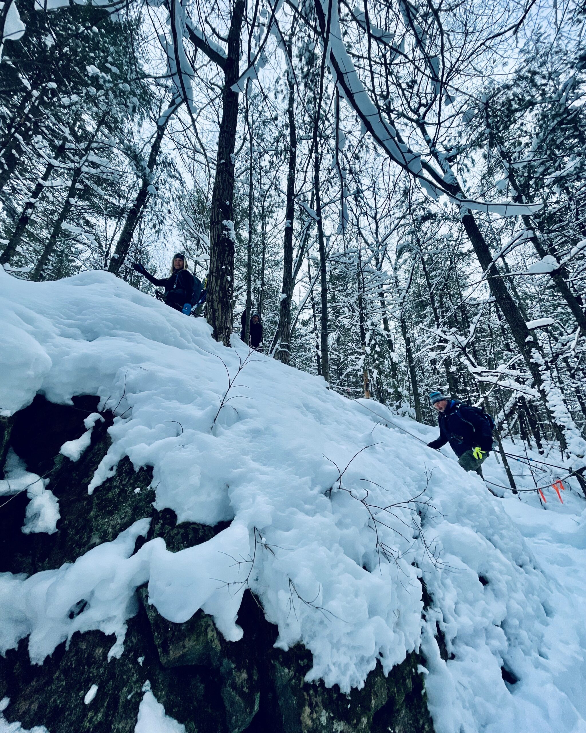
Let’s explore on this advanced hike!We’ll spend 6-8 hrs hiking 16 km, on and off the trail over rugged topography. Time and distance parameters will be flexible based upon the conditions and the group’s ability. We’ll pass through forests, travel over rock barrens and view amazing landscapes. Bring extra socks as our feet may get a little wet as we navigate our way around lakes (we will not be travelling on ice), over ponds (we will cross beaver dams), and creeks (jumping across, travelling over rocks and logs), There will be lots of elevation change and challenges.
Hiking boots, trail crampons, snowshoes and headlamps are MANDATORY. DO NOT show up without these items, you will not be allowed to participate. At the trailhead we will evaluate conditions and determine whether we will wear, carry (bring paracord, bungie cord(s) or your preferred strapping mechanism) or leave behind our snowshoes. Hiking poles and gaiters are highly recommended.
Bring lunch, snacks and water, or a favorite beverage. 2L recommended.
Check the weather in advance and dress in layers accordingly.
There will be no dropouts, and no dogs allowed.
Registered participants are to arrive 15 minutes prior to the hike to be briefed.
Register now, space is limited.
10:00 am Gerry Berkhout Trail in Fenwick
https://hikesstaging.brucetrail.org/event/1100-am-gerry-berkhout-trail-in-fenwick-4/Sorry, the registration cut-off time for this hike has been reached.Not a member? Click here to join today!Hosting Club: Niagara
Category: In and Out
Location (Google Maps):Meet at Centennial Park on Church St in Fenwick. Park in first parking lot. After the hike we can go to the Grill on Canboro for refreshments. This is a flat walk, minimal if any mud. Bring water and dress for the weather.
Hike Leader(s): Lynskie Click here to contact Hike Leader(s)
Pace: Fast
Terrain: Easy
Distance: 10kmsDescription
This will be an in/out hike. We’ll walk for an hour and then turn around. The terrain is flat (this was an old railway line) and in most sections will be dry. If you have any medical condition that you think I should know about, please email me when you register or see me the morning of the hike.
Car Hike: Greenwood Conservation Area: Learn about environment protection and wildlife
https://hikesstaging.brucetrail.org/event/car-hike-greenwood-conservation-area-learn-about-environment-protection-and-wildlife-2/Sorry, the registration cut-off time for this hike has been reached.Not a member? Click here to join today!Hosting Club: Toronto
Category: Car Hike
Location (Google Maps):Greenwood Conservation North Entrance, 5th Concession Rd, Pickering, ON. From Toronto, take Don Valley hwy 404 northbound and get on 401 hwy eastbound towards Pickering. Take exit 399 to hwy 1 Brock Road and head northbound. Take a right at 5th Concession road. If there is no parking in the parking lot, park on the north side of the street.
Hike Leader(s): KJ Chong Click here to contact Hike Leader(s)
Pace: Moderate (3-4 km/hr)
Terrain: Variable
Distance: 6 kmDescription
An educational hike into Greenwood Conservation Area, a beautiful area with forests and creeks. This hike will have multiple stops to share information about environmental protection, wildlife in the area and interesting plants and invasive species. We will also visit a barn ruins and see farm remnants along the way.**NEW REQUIREMENT***: Icers now required to bring due to slippery trail conditions. If you don’t have them you will be turned away.
While we love furry friends, please leave your dogs at home.

Urban Walk; Rouge Park
https://hikesstaging.brucetrail.org/event/urban-walk-rouge-park/Sorry, the registration cut-off time for this hike has been reached.Not a member? Click here to join today!Hosting Club: Toronto
Category: Urban Walk
Location (Google Maps): Toronto, Ontario, CanadaHike Leader(s): Brian Rideout Click here to contact Hike Leader(s)
Pace: Moderate (3-4 km/hr)
Terrain: Level 2 (Intermediate – some hills and uneven surfaces, rocks and roots underfoot)
Distance: 10.17 kmDescription
Please join me for a holiday hike in the Rouge National Urban Park, which has been voted by some members as my best and exhilarating one. On this hike, you can expect rolling hills, and stunning vistas, including the largest remaining wetland in the City of Toronto.The hike starts at the Toronto Zoo entrance. To get there, you can meet me at Kennedy TTC station by 9:55 am for a 42-minute bus ride, or you can take the 85 Sheppard East bus route from Don Mills Station or Rouge Hill GO station. If driving, consider parking for free next to the Rouge Valley Conservation Centre (Pearse House), GPS (43.81780727235202, -79.17176449225887), where the hike ends, and walk over to the Toronto Zoo entrance. This walk is about 10 minutes.
Please bring at least 2 liters of water, a snack and dress for the cold. Hiking poles are recommended. Bring icers just in case.
Apres-hike at The Stone Cottage Pub, to share the holiday season with fellow hikers. Please wear Holiday colors and bring your appetite.
Here is an online map of our route (https://onthegomap.com/s/9mpj477d) Rouge Park Map
Gap and Lindenwood Pond Sidetrails
https://hikesstaging.brucetrail.org/event/gap-and-lindenwood-pond-sidetrails/Sorry, the registration cut-off time for this hike has been reached.Not a member? Click here to join today!Hosting Club: Sydenham
Category: Family Hike
Location (Google Maps): The Owen Sound Galaxy Cinema parking lot. Meet at the tall “Galaxy Centre” sign next to the traffic lights.Hike Leader(s): Danuta Valleau Click here to contact Hike Leader(s)
Pace: Leisurely: 3 km/h or less
Terrain: Moderate: Some hills and/or poor footing
Distance: 4 to 5 kmDescription
Gather at SW corner of Galaxy Cinema parking lot. We will leave at 1:15 sharp to arrive at start of hike BTC Map 33 Gap Side Trail on Conc 14 by approx 1:30 pm. The side trails form a loop with the main trail and wind through mixed forest and along top of escarpment. If there is deep enough snow, this can be a snowshoe hike. Otherwise wear well fitting shoes or boots, walking poles can be an asset, and bring water and snacks.
Moonlit Hike Series - (part 3 of 6) Solstice Moon
https://hikesstaging.brucetrail.org/event/moonlit-hike-series-solstice-moon/Sorry, the registration cut-off time for this hike has been reached.Not a member? Click here to join today!Hosting Club: Peninsula
Category: Moonlit Hike Series
Location (Google Maps): Cemetery Rd and Ilse Hanel Side Trails. Meet at the parking lot at the end of Cemetery RoadHike Leader(s): Beige McIntosh Click here to contact Hike Leader(s)
Pace: Leisurely (2.0 – 3.0 km/h): A relaxed pace with frequent breaks and a focus on enjoyment.
Terrain: Easy: Flat forested sections or lowland trails.
Distance: ~3Description
Join us for hike three of a six part Full Moon Hike Series (October – March).Our hike starts at the Cemetery Road side trail which will take us to the Ilse Hanel side trail. We will hike through a beautiful hardwood forest and if we have a clear night we have lots of moonlight shining in through the trees!
This 3 km hike (out and back) is generally on flat and even terrain. We will find a spot to sit amongst the maples to soak in the moonlight and we plan to share some songs to sing together as a group. They will be uplifting and easy to learn; if you want to simply sit and listen that’s welcome too! We will then return to the parking lot the way we came in.
We will bring warming herbal tea.
Bring a chair or mat to sit on, a mug, sturdy footwear, a headlamp with a red setting if you have it and warm layers.
Sunset is 4:44pm
The moon rises at 4:42 pm from the NE.
Start time is 6:00pm

- Full Moon hike - cold Moon - long night moon
https://hikesstaging.brucetrail.org/event/full-moon-hike-cold-moon-long-night-moon/Sorry, the registration cut-off time for this hike has been reached.Not a member? Click here to join today!Hosting Club: Iroquoia
Category: Afternoon/Evening Hikes
Location (Google Maps): City View Park, BurlingtonHike Leader(s): Madeline Grady Click here to contact Hike Leader(s)
Pace: Leisurely – 3km/hr or less
Terrain: Easy – Mostly flat and usually good footing
Distance: about 8 kmDescription
Please park in the smaller lot (2nd from Hwy 5) if coming from Kerns Road below it’s the 1st driveway once you’ve crested the escarpment)We will start with getting acclimatized to the moonlight before we begin. This is an out and back hike. The trail will be mostly flat starting in the open before entering the wooded area on the other side of Kerns Road. There are some great lookouts to see Burlington and hopefully the moon over the lake. Poles and hiking shoes/boots and head lamps are recommended. Try to dim your headlamp with a red light or covering Please bring water and a snack.
Moonlight Hike - hike in Niagara on the Lake under the Full Moon
https://hikesstaging.brucetrail.org/event/moonlight-hike-hike-in-niagara-on-the-lake-under-the-full-moon/Sorry, the registration cut-off time for this hike has been reached.Not a member? Click here to join today!Hosting Club: Niagara
Category: Night
Location (Google Maps): Veteran’s ParkHike Leader(s): Sheila Massey Click here to contact Hike Leader(s)
Terrain: Easy
Distance: 6 – 7 kmDescription
The December full moon is called many different names, some of which are the Cold Moon, Snow Moon, Moon Before Yule, Little Spirit Moon. If anyone is interested, we could go to one of the local establishments for a beverage after. - 16December 16, 2024
Beamsville Hike
https://hikesstaging.brucetrail.org/event/beamsville-hike-2/Sorry, the registration cut-off time for this hike has been reached.Not a member? Click here to join today!Hosting Club: Niagara
Category: In and Out
Location (Google Maps): Meet in parking lot at Kinsmen Park, BeamsvilleHike Leader(s): Kathleen Manson Click here to contact Hike Leader(s)
Pace: Fast
Terrain: Moderate
Distance: 8 kmDescription
We will head east and visit Cave Springs CA and return.It is mostly level with some hills and a lot of tricky footing.
Hiking poles are highly recommended. Wear supportive hiking boots with good tread. There are a lot of rocks and crevices. Icers will be required if it is icy, they are not very helpful in just snow.
Please arrive 15 minutes early.
If your plans change, please self-cancel as soon as possible so that other members may take your spot.
Hike Leader reserves the right to modify the hike.
Photography Hike in the Bognor Marsh
https://hikesstaging.brucetrail.org/event/photography-hike-in-the-bognor-marsh/Sorry, the registration cut-off time for this hike has been reached.Not a member? Click here to join today!Hosting Club: Sydenham
Category: Photography Hike
Location (Google Maps): Bognor Marsh Conservation Area on Grey Road 18Hike Leader(s): Cindy Paczkowski Click here to contact Hike Leader(s)
Pace: Leisurely: 3 km/h or less
Terrain: Easy: Mostly flat and good footing., There might be icy and slippery sections., There might be muddy sections., There might be sections with water on the trail.
Distance: 5.1 kmDescription
Let’s find beauty in the space between the autumn and beginning of snow season! We will look for lovely things to photograph in the marsh and forest. Bring your iPhone, android or DSLR cameras. We won’t have enough time to set up tripods, unless you happen to be an expert at doing that in a timely manner. There may be muddy sections, and if the ground happens to freeze, icers may be needed. This is a loop hike and there is lots of parking at the marsh.
7pm Festival of Lights Hike
https://hikesstaging.brucetrail.org/event/7pm-festival-of-lights-hike-2/Sorry, the registration cut-off time for this hike has been reached.Not a member? Click here to join today!Hosting Club: Niagara
Category: Night
Location (Google Maps): Meet at the Floral Shophouse, Niagara River Parkway. Paid parking – can use the annual Niagara Parks Parking Pass or pay for parking there. Avoid parking fees by carpooling.Hike Leader(s): Margaret Northfield Click here to contact Hike Leader(s)
Pace: Leisurely
Terrain: Easy
Distance: 4-5kmDescription
Get into the holiday spirit with your hiking buddies as we walk through Niagara Parks and around by the Falls. Wear warmer clothes so you can stop to take photos and enjoy the lights.Share your favourite holiday treat after the hike. Hot apple cider and holiday treats will be shared in the parking lot following the hike.
- 17December 17, 2024
9:00 Long Hike Wiley Road Short Hills
https://hikesstaging.brucetrail.org/event/900-long-hike-wiley-road-short-hills-36/Sorry, the registration cut-off time for this hike has been reached.Not a member? Click here to join today!Hosting Club: Niagara
Location (Google Maps):
Short Hills Wiley Road Entrance
Hike Leader(s): Lynskie Click here to contact Hike Leader(s)
Pace: Medium
Terrain: Moderate
Distance: 10kmDescription
Explore Short Hills and the majestic side trails of Scarlett Tanager, Hemlock. Swayze Falls and Terrace. Register for each hikeBring Poles, Icers, snack, and dress for the weather
9:15 Short hike - Pelham Road, Short Hills
https://hikesstaging.brucetrail.org/event/915-short-hike-pelham-road-short-hills-4/Sorry, the registration cut-off time for this hike has been reached.Not a member? Click here to join today!Hosting Club: Niagara
Location (Google Maps): Short Hills Provincial Park, Pelham Road entrance
Hike Leader(s): janet davey Click here to contact Hike Leader(s)
Pace: Medium
Terrain: Moderate
Distance: 6 kmsDescription
Hike the main and side trails in Short Hills Provincial Park. Bring hiking boots and water. Keep a pair of icers in your car in case of icy conditions.Duncan to Metcalfe Crevice Loop
https://hikesstaging.brucetrail.org/event/duncan-to-metcalfe-crevice-loop-2/Sorry, the registration cut-off time for this hike has been reached.Not a member? Click here to join today!Hosting Club: Beaver Valley
Location (Google Maps): Bruce Trail parking at km 33.3 on 9th Sideroad in the Beaver Valley section, Map 25, Edition 31
*DO NOT APPROACH FROM THE EAST*
Map 25 ED 31Hike Leader(s): Kristina Rettie Click here to contact the hike leader.
Pace: Brisk
Terrain: Some rocky footing, Some steep sections, Strenuous
Length of Hike: 10kmDescription
This is a loop hike that will follow the white blazed trail past Pinnacle Rock to the Metcalfe Crevice where you will have the choice of exploring the rocky gorge or taking a short rest. Once we are all back together we will continue on to the Chuck & Pat Grant side trail. This trail will loop us back to our cars.Be prepared with snowshoes & icers
Please bring snacks and water.
No dogs!
Call or text Kristina for morning of cancelations @ 519-410-9077
COVID-19 Precautions Before, During and After your Hike
- Each hiker joining a Bruce Trail Club organized hike must perform a self-screening check before hiking.
Find Ontario’s self-assessment tool here: https://covid-19.ontario.ca/self-assessment/ - If you are experiencing COVID-19 symptoms, stay home.
- Personal Protective Equipment:
- Hikers may choose to wear masks
Transportation
It is the Bruce Trail Conservancy’s current policy that car shuttles are allowed. It is at the discrepancy of individual hike leaders to make that decision.
Other Guidelines
- Arrive 15 minutes before the start of the hike.
- Wear sturdy footwear and appropriate attire for the weather and the terrain.
Hiking poles are a good idea in any season, especially if the terrain is rocky or slippery. In winter, snowshoes or icers/crampons are needed when conditions dictate.
Wearing appropriate clothing and footwear prevents injuries and shows consideration for a safe and positive group hiking experience. - Always carry I.D. and your health card.
- Bring sufficient water and snacks (or lunch if indicated). A minimum of 1L of water is recommended on all hikes, and 3L is recommended for long, challenging hikes in the heat of the summer.
- Bring sunscreen and insect repellent (for spring and summer hikes).
- Bring your own first aid kit.
- Please leave dogs at home.
Island Lake Loop
https://hikesstaging.brucetrail.org/event/island-lake-loop-6/Sorry, the registration cut-off time for this hike has been reached.Not a member? Click here to join today!Hosting Club: Dufferin Hi-Land
Category: Tuesday Hike
Location (Google Maps):Island Lake Conservation Area. Meet at Vicki Barron Lakeside Trail Parking at south end of Hurontario Street, about 1 km south of 5 Sideroad, Mono. You can access 5 Sideroad from Hockley Rd, about 1 km east of Hwy 10, where Hockley Road bends to the north. Hurontario is the first turn on the right after the gravel pit.
Hike Leader(s): Julie Daley,Les Babbage,Inge Eckerich,Tony Evangelista Click here to contact Hike Leader(s)
Pace: Leisurely
Terrain: Easy
Distance: 8.5 km; Shorter hike: 4 kmDescription
We will hike the Vicki Barron Lakeside Trail loop. The shorter hike will turn back after about 2 km. Optional coffee/lunch stop at the Centre Church Cafe and Gallery on Hansen Blvd, just east of Blind Line, in Orangeville. Dress for the weather and bring icers and poles if we have an early snowfall or icy conditions.Halton Regional Forest
https://hikesstaging.brucetrail.org/event/halton-regional-forest-9/Sorry, the registration cut-off time for this hike has been reached.Not a member? Click here to join today!Hosting Club: Caledon Hills
Category: Tuesday Hikers
Location (Google Maps): Parking at: 10 Side Road and 4th Line Nassagaweya (trail entrance to Halton Regional Forest).
From Highway 401 West, turn right (north) on Guelph Line, right on 10 Side Rd. The road bends northwards and becomes 4th Line Nassagaweya; roadside parking at the bend.Hike Leader(s): Mohammad Shafiq Click here to contact Hike Leader(s)
Pace: Medium – 3 to 4 km/hour
Terrain: Moderate – some hills and/or some poor footing
Distance: 12 kmDescription
Will hike trails in Halton Regional Forest and Hilton Falls Conservation Area; beautiful trails are relatively flat with some rocky parts. Snack break at Hilton Falls, possibly around fire pit.
Bring water, snack and a warm drink of your choice. Dress according to weather, poles are recommended.
Hike leader cell phone: 416-566-0503 (note that reception in hiking area is usually poor, leave a message to callback)
During winter, check your email before leaving about 7:30 am for any last minute update due to weather conditions. - Each hiker joining a Bruce Trail Club organized hike must perform a self-screening check before hiking.
- 18December 18, 2024
CANCELLED: West Rocks and Pottawatomi Conservation followed by an opportunity for a Christmas Pot Luck
https://hikesstaging.brucetrail.org/event/west-rocks-and-pottawatomi-conservation-followed-by-an-opportunity-for-a-christmas-pot-luck/Sorry, the registration cut-off time for this hike has been reached.Not a member? Click here to join today!Hosting Club: Sydenham
Category: Hike & Potluck
Location (Google Maps):Memorial Forest. At the end of Young’s Drive
Hike Leader(s): Sheri Hatcher Click here to contact Hike Leader(s)
Pace: Medium: 3 to 4 km/h
Terrain: Moderate: Some hills and/or poor footing
Distance: Approximately 8 kmDescription
We will meet at km 105.8 and car shuttle to km 100.7. We will hike the main trail along the West Rocks and Springmount Forest, crossover Hwy 21 and head to Jones Falls. We will then take the Merle Gunby Side Trail loop to the main trail. This hike ends with a steep descent back to the parking lot. We will gather for a pot luck lunch following the hike. I will provide hot soup and drinks. Please arrive 15 minutes before the start time. Please contact me through the built in Contact the Hike Leader option if you have any questions or unable to register.Queenston side trails
https://hikesstaging.brucetrail.org/event/queenston-side-trails/Sorry, the registration cut-off time for this hike has been reached.Not a member? Click here to join today!Hosting Club: Niagara
Category: Hike
Location (Google Maps): Corner of Concession 2 and York Road, Queenston, Laura Secord Heritage Trail on Google MapsHike Leader(s): Erin Lyttle Click here to contact Hike Leader(s)
Pace: Brisk
Terrain: Moderate
Distance: 7-8 kmDescription
We will park at Concession 2 and York road in gravel roadside parking with concrete barriers, if necessary there’s more parking across Concession 2. We will head south on the Major Teyoninhokarawen/John Norton Side Trail up the escarpment (poles and boots/trail shoes recommended, especially if there’s mud) and then head east on the main Bruce Trail to Queenston Heights Park. We will take Alfred’s Trot side trail back to the main trail, head down the escarpment (again, very steep-boots/good traction shoes and poles recommended) and then head back to our cars on Upper Canada Heritage Trail. Great opportunity for those looking to check these three side trails off their side trail badge requirement. Along the way we will see barracks ruins, lime kiln ruins and maybe even a cave.Wednesday Walkers: Pretty River
https://hikesstaging.brucetrail.org/event/wednesday-walkers-pretty-river/Sorry, the registration cut-off time for this hike has been reached.Not a member? Click here to join today!Hosting Club: Beaver Valley
Location (Google Maps): Meet in the Snowmobile Parking Lot on Pretty River Road. Near Km 46.8, Edition 31 The Bruce Trail Reference.
Hike Leader(s): Margaret Yaraskavitch Click here to contact the hike leader.
Pace: Medium
Terrain: Moderate, Some rocky footing, Some steep sections
Length of Hike: 6 kmsDescription
We’re hiking in the popular Pretty Valley Provincial Park. Using an access Side Trail, we’ll head to the Main Trail that travels along a moraine with excellent views over the Pretty River Valley. Our return will use the Pretty River Side Trail.
Dufferin Hi-Lands Stained Glass Badge in 4 hikes
https://hikesstaging.brucetrail.org/event/dufferin-hi-lands-stained-glass-badge-in-4-hikes/Sorry, the registration cut-off time for this hike has been reached.Not a member? Click here to join today!This is a Multi-Day Hike
You are signing up for the following dates:
2024-12-18, 2024-12-19, 2025-01-15, 2025-01-16Hosting Club: Dufferin Hi-Land
Category: Special Events
Location (Google Maps): 638003 Prince of Wales Rd W, Honeywood, ON L0N 1H0, Canada. Prince of Wales Road and 20 Sideroad.Hike Leader(s): Susan Bate and Helen Bailey Click here to contact Hike Leader(s)
Pace: Fast
Terrain: Dependent on Conditions, Moderate, Slippery and Steep Sections
Distance: 15kmDescription
Join Helen and Susan for this fundraiser series of 4 hikes for the Dufferin Hi-Land Club. Registered hikers must complete all 4 hikes and will receive the Stained Glass Badge upon completion of the final hike. Registration applies to all 4 days Dec 18, Dec 19, Jan 15 and Jan 16. All participants will take part in the car shuttle. Further information will be made available to participants. Please arrive 15 minutes early (9:15am) and bring icers, 1L water and a snack/lunch. Helen likes Kit-Kat bars best.
Sixteen Mile Creek in the Early Years
https://hikesstaging.brucetrail.org/event/sixteen-mile-creek-in-the-early-years/Sorry, the registration cut-off time for this hike has been reached.Not a member? Click here to join today!Hosting Club: Iroquoia
Category: Good Companions
Location (Google Maps): Sixteen Mile Creek Valley, OakvilleHike Leader(s): Anne Armstrong Click here to contact Hike Leader(s)
Pace: Leisurely – 3km/hr or less
Terrain: Easy – Mostly flat and usually good footing, Moderate – Some hills and/or some poor footing
Distance: 9 km.Description
Sixteen Mile Creek Valley is steeped in the early history of Oakville and provides an insight into the lives of early settlers. Meet at the south east corner of River Glen Blvd. and Neyagawa Blvd. (beside the baseball fields) at 9:45 am. for a 10:00 am. start. Bring water, a snack and poles if using. There are a number of hills and some uneven ground. There will be some interpretative stops along the route. - 19December 19, 2024
Urban Walk: Valley View Park Thornhill
https://hikesstaging.brucetrail.org/event/urban-walk-valley-view-park-thornhill-43/Sorry, the registration cut-off time for this hike has been reached.Not a member? Click here to join today!Hosting Club: Toronto
Location (Google Maps): Parking lot at the corner of Bayview Ave, and Sycamore Dr. South of Highway 7
Sycamore Dr. is 3blocks south of highway 7 and 2 blocks north of John Street, parking lot is across plaza of Dollarama and Star boxHike Leader(s): Mohammad Aghamiri Click here to contact Hike Leader(s)
Pace: Moderate (3-4 km/hr)
Terrain: Level 2 (Intermediate – some hills and uneven surfaces, rocks and roots underfoot)
Distance: 7-8 kmDescription
We will explore Valleyview and Maple View parks, and walk along German Mill Creek, for a distance of 7-8 km. Difficulty Level: 2 (Moderate)9:00 am Long Hike Cave Spring NEW LOCATION
https://hikesstaging.brucetrail.org/event/900-am-long-hike-cave-spring-new-location-3/Sorry, the registration cut-off time for this hike has been reached.Not a member? Click here to join today!Hosting Club: Niagara
Location (Google Maps):
Cave Spring Conservation Area
Hike Leader(s): Suzanne Gourluck Click here to contact Hike Leader(s)
Pace: Medium
Terrain: Moderate
Distance: 10kDescription
From Cave Spring Conservation Area explore the trail network on the escarpment You must register for each hike. Bring Poles, snack and a drink and dress for the weatherHiking Around Jordan
https://hikesstaging.brucetrail.org/event/hiking-around-jordan-13/Sorry, the registration cut-off time for this hike has been reached.Not a member? Click here to join today!Hosting Club: Niagara
Location (Google Maps): Jordan Hollow, across from Boo’s Restaurant (now known as Shoarishon Park)
Hike Leader(s): Bill Russell Click here to contact Hike Leader(s)
Pace: Medium
Terrain: Moderate
Distance: 7 kmDescription
Hiking around Jordan (Balls Falls, Jim Rainforth Trail and Bailey Bridge through the Village of Jordan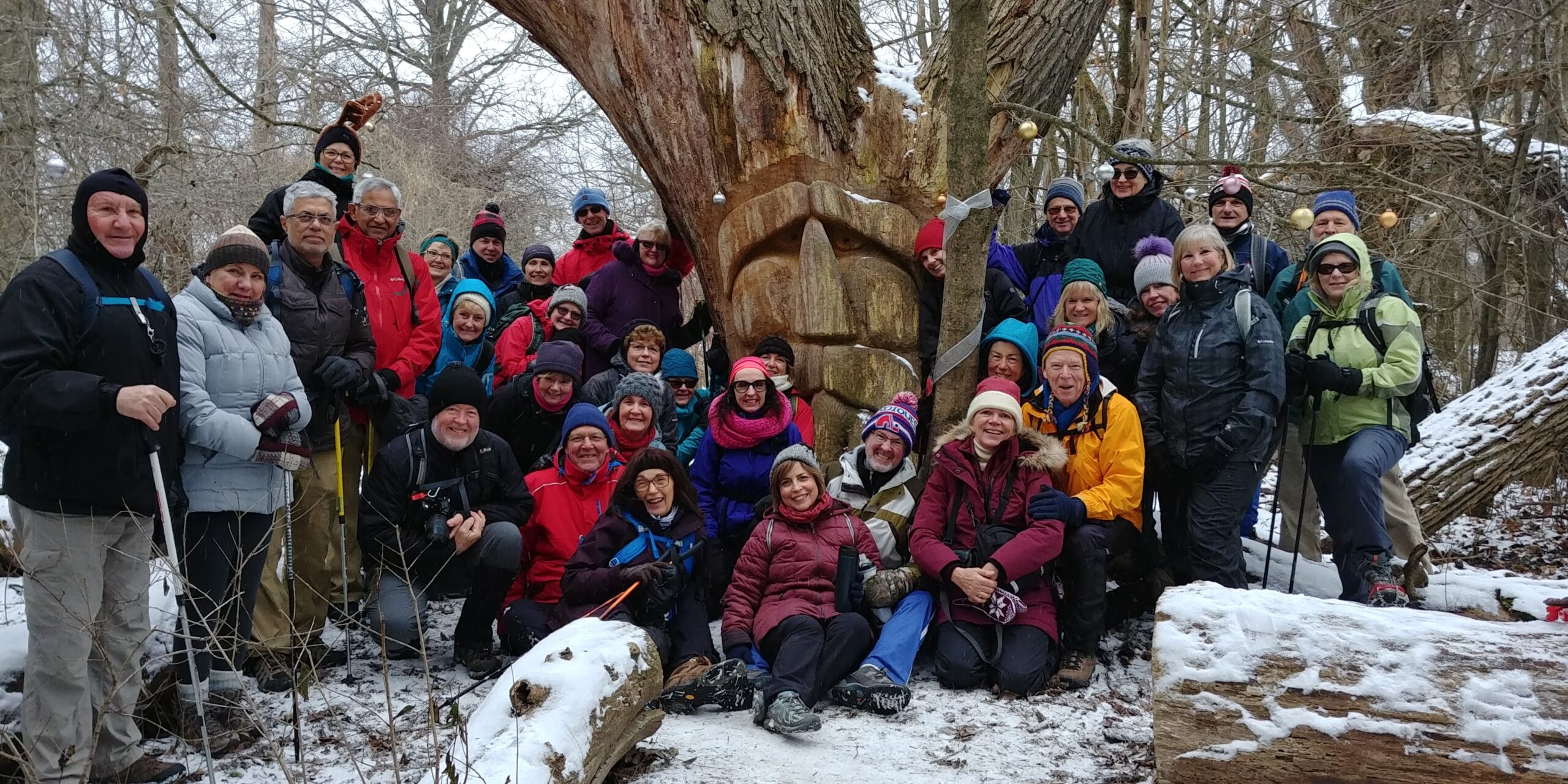
Annual Christmas in the Village Hike - St. Jacob's Ont.
https://hikesstaging.brucetrail.org/event/annual-christmas-in-the-village-hike-st-jacobs-ont/Sorry, the registration cut-off time for this hike has been reached.Not a member? Click here to join today!Hosting Club: Caledon Hills
Category: General
Location (Google Maps): St. Jacob’s OntarioHike Leader(s): Doris Harper Click here to contact Hike Leader(s)
Pace: Medium – 3 to 4 km/hour
Terrain: Easy – mostly flat and usually good footing
Distance: 7 – 8 kmDescription
We will hike the Health Valley Trail there and back along the Conestoga River. This an easy hike along the river and through fields and woods. We can also cross the road and then hike along the Millrace Trail. There are many Chickadees that winter here and are happy to eat seeds right out of your hand. Total: about 7-8 kmsWe can also walk through the Village that will be well decorated for Christmas.
Following the hike, those that are interested, can enjoy lunch at the Harvest Moon Restaurant. RESERVATIONS ARE NEEDED SO PLEASE INDICATE IF YOU WOULD LIKE TO JOIN US FOR LUNCH.
The St Jacobs Farmers market , just a few kms up the road, is open from 7:30 AM to 3 PM.
Mono Cliffs Provincial Park
https://hikesstaging.brucetrail.org/event/mono-cliffs-provincial-park/Sorry, the registration cut-off time for this hike has been reached.Not a member? Click here to join today!Hosting Club: Iroquoia
Category: General Hike
Location (Google Maps): Meet at 9:45 am on Second Line EHSHike Leader(s): Karen Bergmann Click here to contact Hike Leader(s)
Pace: Medium – 3 to 4 km/hr
Terrain: Moderate – Some hills and/or some poor footing
Distance: 9.5 kmsDescription
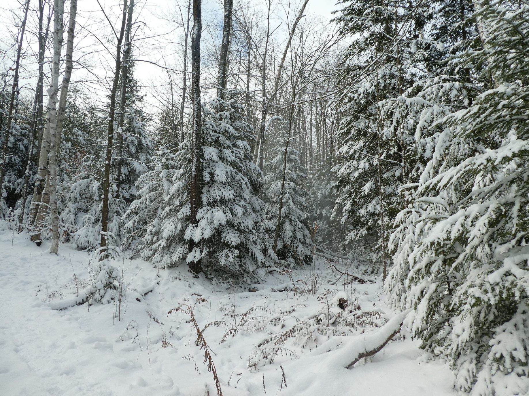
We will hike the main trail, Lookout Side Trail, Walter Tovell Side Trail and back up the main trail for a big loop. Bring icers for your boots and a snack. - 20December 20, 2024

9am NOTL Tour
https://hikesstaging.brucetrail.org/event/9am-notl-tour-3/Sorry, the registration cut-off time for this hike has been reached.Not a member? Click here to join today!Hosting Club: Niagara
Location (Google Maps): Meet on King St and Centre St at the entrance to Veteran’s Memorial Park.
Hike Leader(s): Margaret Northfield Click here to contact Hike Leader(s)
Pace: Medium
Terrain: Easy
Distance: 6-7kmDescription
Each Friday we will explore some history of Niagara-on-the-Lake while getting a moderate paced walk. Discover where the Niagara River meets Lake Ontario. Experience the Heritage District, woods and the Niagara Parkway.Some weeks may be totally on sidewalks and roads while others may include a mix of trail and paved pathways.
Great way to build up endurance for longer more strenuous hikes.
Plan to stay for conversation and a coffee at Sweets & Swirls, Community Centre, Niagara Stone Rd., NOTL
Robin & Margaret

Iroquoia Bruce Trail Club x MEC - Dec 20/24 - 7pm - Registration is not required for this clinic.
https://hikesstaging.brucetrail.org/event/iroquoia-bruce-trail-club-x-mec-2/Sorry, the registration cut-off time for this hike has been reached.Not a member? Click here to join today!Hosting Club: Iroquoia
Location (Google Maps): Mountain Equipment Company – 1030 Brant St Burlington
Hike Leader(s): Ruth Moffatt Click here to contact Hike Leader(s)
Distance: N/A
Description
Please join Ruth Moffatt, Hike Director, Iroquoia Bruce Trail Club at MEC Burlington for a clinic. Topics will include: What to pack in your backpack, what to wear on your hike, weather considerations, tips for hiking and a Q&A where you can ask any questions about the Bruce Trail, membership or what to expect while hiking.Registration is not required for this clinic.
- 21December 21, 2024

Car Hike: Haliburton Exploratory Hike
https://hikesstaging.brucetrail.org/event/car-hike-haliburton-exploratory-hike-2/Sorry, the registration cut-off time for this hike has been reached.Not a member? Click here to join today!Hosting Club: Toronto
Category: Car Hike
Location (Google Maps):Haliburton
Hike Leader(s): Glynn Richardson Click here to contact Hike Leader(s)
Pace: Leisurely (2-3 km/hr), Moderate (3-4 km/hr)
Terrain: Challenging, Hilly, Level 3 (Advanced – steep hills and some scrambling over boulders), Rocky, Variable
Distance: 14 kmDescription
Let’s explore on this advanced hike!We’ll spend 6-8 hrs hiking 14 km, on and off the trail over rugged topography. Time and distance parameters will be flexible based upon the conditions and the group’s ability. We’ll pass through forests, travel over rock barrens and view amazing landscapes. Bring extra socks as our feet may get a little wet as we navigate our way around lakes (we will not be travelling on ice), over ponds (we will cross beaver dams), and creeks (jumping across, travelling over rocks and logs), There will be lots of elevation change and challenges.
Hiking boots, trail crampons, snowshoes and headlamps are MANDATORY. DO NOT show up without these items, you will not be allowed to participate. At the trailhead we will evaluate conditions and determine whether we will wear, carry (bring paracord, bungie cord(s) or your preferred strapping mechanism) or leave behind our snowshoes. Hiking poles and gaiters are highly recommended.
Bring lunch, snacks and water, or a favorite beverage. 2L recommended.
Check the weather in advance and dress in layers accordingly.
There will be no dropouts, and no dogs allowed.
Registered participants are to arrive 15 minutes prior to the hike to be briefed.
Register now, space is limited.
8:30 Merritt Trail Series #3
https://hikesstaging.brucetrail.org/event/830-merritt-trail-series-3/Sorry, the registration cut-off time for this hike has been reached.Not a member? Click here to join today!Hosting Club: Niagara
Category: Car Pool
Location (Google Maps): Meet at Port Dalhousie Parking lot . Carpool to Book Depot Parking lot, 67 Front Street North, Thorold.Hike Leader(s): Lauren Doig Click here to contact Hike Leader(s)
Pace: Brisk
Terrain: Easy
Distance: 15kmDescription
Hike 3 of the Merritt Trail Series. Bring water and a snack. Dress for the weather. If completed all three hikes, bring $10 for the badge.
Wilder Forest Uxbridge
https://hikesstaging.brucetrail.org/event/wilder-forest-uxbridge/Sorry, the registration cut-off time for this hike has been reached.Not a member? Click here to join today!Hosting Club: Toronto
Location (Google Maps): 2499 Brock Road, Uxbridge, ON there is a free parking when you enter the road off brock road beside Horse training facility
Hike Leader(s): Mohammad Aghamiri Click here to contact Hike Leader(s)
Pace: Moderate (3-4 km/hr)
Terrain: Hilly, Variable
Distance: 14-15 kmDescription
We will explore Wilder forest and the beautiful scenery of Uxbridge forests.
9:00 am Welcome the Winter Solstice with Tai Chi at Woodend
https://hikesstaging.brucetrail.org/event/900-am-welcome-the-winter-solstice-with-tai-chi-at-woodend/Sorry, the registration cut-off time for this hike has been reached.Not a member? Click here to join today!Hosting Club: Niagara
Category: Loop
Location (Google Maps):Woodend Conservation Area – km 15.5; Enter from Taylor Rd., 140 north of Warner Rd.
Hike Leader(s): Karen Couch Click here to contact Hike Leader(s)
Pace: Medium
Terrain: Moderate
Distance: 6 kmDescription
Usher in the Winter of 2024/2025 with a hike that includes intermittent simple Tai Chi movement breaks led by Mike VanNatter. Hiking poles and hydration are recommended.Get it on the 1st hike towards your 2024/2025 Winter badge!

Beaver Valley Winter End to End Badge
https://hikesstaging.brucetrail.org/event/beaver-valley-winter-end-to-end-badge/Sorry, the registration cut-off time for this hike has been reached.Not a member? Click here to join today!This is a Multi-Day Hike
You are signing up for the following dates and times:
2024-12-21 at 09:30
2024-12-22 at 09:30
2025-01-11 at 09:30
2025-01-12 at 09:30
2025-01-25 at 09:30
2025-01-26 at 09:30
2025-02-08 at 09:30
2025-02-09 at 09:30
2025-02-22 at 09:30
2025-02-23 at 09:30Hosting Club: Beaver Valley
Location (Google Maps): Meet at the Metcalfe Rock parking lot on 10th Line, just south of km 27.9, Map 25, Edition 30 44.4158524 -80.4434053
Hike Leader(s): Glenda Collings Click here to contact the hike leader.
Pace: Medium
Terrain: Moderate, Some rocky footing, Some steep sections, Strenuous
Length of Hike: 15.6 kmDescription
You are registering for a series of 10 hikes to earn the BV Winter End to End badge. This E2E is intended for strong hikers/experienced snowshoers only. We will be hiking at a steady medium pace with a few short breaks to be sure we keep warm. Deep snow may slow the pace down a bit. As we need to be prepared for variable weather conditions, please have your icers and snowshoes in your car for each hike. Although the snow may seem okay in parts of the hike, there may be deep drifts in other areas. The leader will advise if we need to carry our snowshoes. It may be tough hiking so be sure of your physical ability before signing up for this hike. If the snow is deep, please be prepared to take a turn blazing trail. Please dress accordingly with the weather conditions presented on hike day and bring sufficient water and snacks. This will be a team effort from start to finish!As we all know Mother Nature can throw us curve balls at times. The hike leader may need to adjust our meeting location and possibly postpone the hike in the case of inclement weather or road/parking conditions. The hikes will not all be in sequential order. Hikers will be advised of conditions and possible changes the night before each hike. The hike schedule will be sent to the group upon registration.
All hikes in this series will include a car shuttle and everyone is expected to take a turn at shuttling, so please have your car ready to carry passengers.
If you have any questions feel free to contact me using the Contact Hike Leader option in the hike posting. Let’s have fun in the snow!
For the safety of all, the Beaver Valley Winter E2E is a series that can only be completed with a club leader who is very familiar with the Beaver Valley section.
COVID-19 Precautions Before, During and After your Hike
- Each hiker joining a Bruce Trail Club organized hike must perform a self-screening check before hiking.
Find Ontario’s self-assessment tool here: https://covid-19.ontario.ca/self-assessment/ - If you are experiencing COVID-19 symptoms, stay home.
Other Guidelines
- Arrive 15 minutes before the start of the hike.
- Wear sturdy footwear and appropriate attire for the weather and the terrain.
Hiking poles are a good idea in any season, especially if the terrain is rocky or slippery. In winter, snowshoes or icers/crampons are needed when conditions dictate.
Wearing appropriate clothing and footwear prevents injuries and shows consideration for a safe and positive group hiking experience. - Always carry I.D. and your health card.
- Bring sufficient water and snacks (or lunch if indicated). A minimum of 1L of water is recommended on all hikes, and 3L is recommended for long, challenging hikes in the heat of the summer.
- Bring sunscreen and insect repellent (for spring and summer hikes).
- Bring your own first aid kit.
- Please leave dogs at home.
German Mills Creek
https://hikesstaging.brucetrail.org/event/german-mills-creek/Sorry, the registration cut-off time for this hike has been reached.Not a member? Click here to join today!Hosting Club: Niagara, Toronto
Category: Hike
Location (Google Maps):Willowbrook Public School, 45 Willowbrook Rd, Thornhill, ON L3T 4X6
Hike Leader(s): Mehrnoush Ahmadi Click here to contact Hike Leader(s)
Pace: Medium
Terrain: Moderate
Distance: 8-10 kmDescription
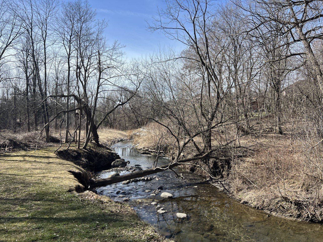
A great place for a short outdoor escape, offering a quiet, natural setting with some gentle elevation changes. The trail connects to the Don River Trail, allowing for extended exploration.
• Please dress appropriately for the weather. Waterproof hiking boots, ice cleats, and trekking poles are required. A windproof jacket and gaiters are recommended.
• We will have short water breaks and a 10-minute snack break.
Everyone is welcome!
See you there!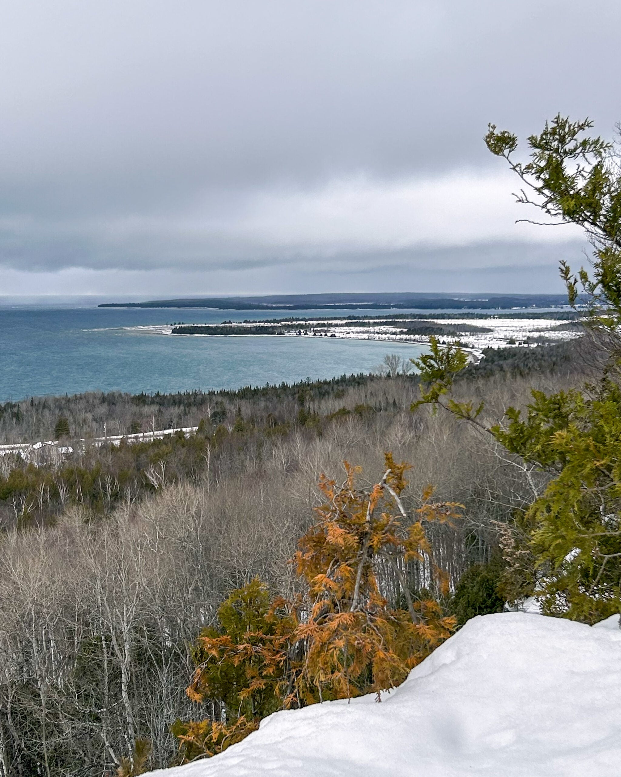
Peninsula Blue Series: Welcoming Winter from the top of Jones Bluff
https://hikesstaging.brucetrail.org/event/peninsula-blue-series-welcoming-winter-from-the-top-of-jones-bluff/Sorry, the registration cut-off time for this hike has been reached.Not a member? Click here to join today!Hosting Club: Peninsula
Category: Peninsula Blue Series
Location (Google Maps): Boundary Road Roadside Parking where the Jones Bluff Side Trail meets the Main TrailHike Leader(s): Kathleen Stahlbaum Click here to contact Hike Leader(s)
Pace: Leisurely (2.0 – 3.0 km/h): A relaxed pace with frequent breaks and a focus on enjoyment., Medium (3.0 – 4.5 km/h): A comfortable pace for most hikers with steady progress.
Terrain: Easy: Flat forested sections or lowland trails., Moderate: Rolling hills, mild slopes and rocky paths.
Distance: 7.12 kmDescription
Join us in celebrating winter solstice with a hike along the beautiful Jones Bluff! This hike offers panoramic views of Neyaashiinigmiing (Cape Croker) and the beautiful sparkling turquoise waters of Sydney Bay and Colpoys Bay. We’ll look over MacGregor Harbour where Cape Croker juts into the water, Sydney Bay Bluff, Cape Dundas, and Barrier Island on the North side, with glimpses of Hay, White Cloud and Griffith Islands on the South side.We’ll be spending most of our hike on the Main Trail as we round the entirety of the Bluff, with a short jaunt along the whole of Jones Bluff Side Trail. While Jones Bluff offers a relatively easy hike with minimal ups and downs, there are still plenty of rocks, roots, and crevices which may or may not be visible if there has been a recent snowfall. We’ll spend some time hiking close to the Escarpment edge, and some time hiking through the woods. There are plenty of incredible lookouts and we’ll be sure to stop for breaks and photo ops! Depending on snow and ground conditions, this hike will take approximately 3-4 hours with no bailout points.
Be prepared for rocky, slippery and potentially snowy conditions. In the event of snowy conditions, icers/crampons are strongly advised for added traction on slippery terrain. Consider bringing along trekking poles or a walking stick to provide additional balance on icy spots and areas with deep snow. Snowshoes may also come in handy depending on conditions. Wear insulated footwear and layer up! Weather conditions change quickly on the Peninsula, particularly during the winter months, so we will have a better idea what to expect as the date draws nearer (stay tuned to your email in the 48 hours prior to the hike for updates!)
Pace will be leisurely to moderate and adjusted for snowy, slushy or icy conditions, if needed. Bring plenty of water, a snack and light lunch.
This ~7 km, 3-4 hour hike counts towards the coveted side trail badge and you can check it out on Map 36 of the newest edition of the Bruce Trail guidebook!
Map 36, Edition 31
Harrison Park Loop
https://hikesstaging.brucetrail.org/event/harrison-park-loop/Sorry, the registration cut-off time for this hike has been reached.Not a member? Click here to join today!Hosting Club: Sydenham
Category: General Hike
Location (Google Maps): Harrison Park past the restaurantHike Leader(s): Ian Mills Click here to contact Hike Leader(s)
Pace: Medium: 3 to 4 km/h
Terrain: Moderate: Some hills and/or poor footing, There might be icy and slippery sections., There might be sections with water on the trail.
Distance: 10kmDescription
We will meet at Harrison Park, Parking Area just past the restaurant (east) and follow the Harrison Park Side Trail north to the Main Trail. We will follow the Main Trail south to Inglis Fall. Pack a light snack to enjoy the amazing view of the falls. We will follow the Main Trail north to Creamery Side Trail and circle back to our parking area. Interesting terrain, lovely views and good exercise will be provided by this loop. BTC Map # 32. A walking stick is recommended and proper footwear is required. Dependant on weather conditions I will advise if icers are recommended. - Each hiker joining a Bruce Trail Club organized hike must perform a self-screening check before hiking.