
Hike Schedule
Join us for a hike! Registration required.
All hikes available to BTC members. Some hikes are open to non-members.
See Refund Policy for Paid Hikes >
TIP: The calendar view displays up to 7 hikes on a day, but often there are more. Click “View more events” to see them all.
Categories
- 22November 22, 2024
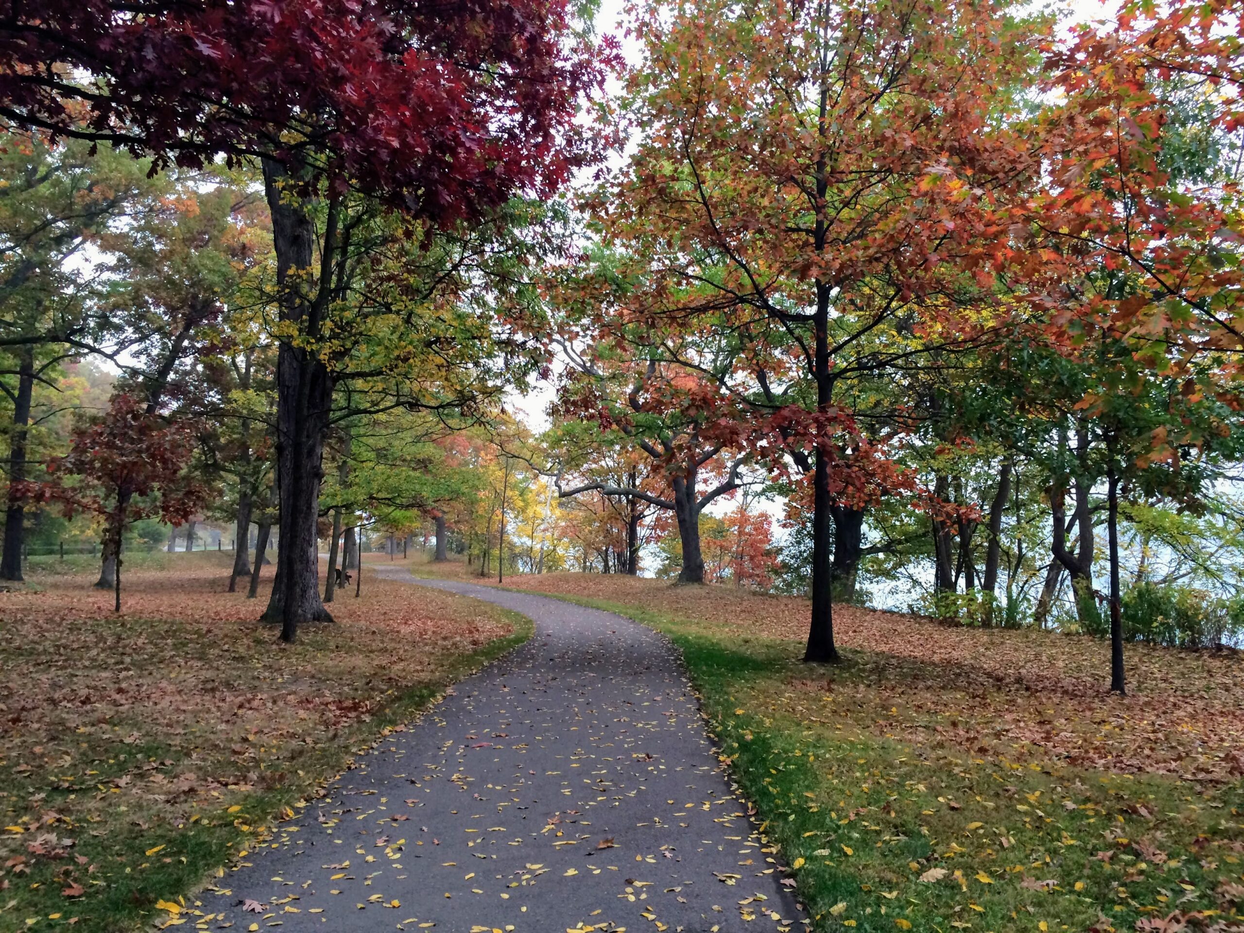
9:00 am Niagara-on-the-Lake Tour
https://hikesstaging.brucetrail.org/event/900-am-niagara-on-the-lake-tour-2/Sorry, the registration cut-off time for this hike has been reached.Not a member? Click here to join today!Hosting Club: Niagara
Location (Google Maps): Veterans Memorial Park, park just outside the park on King Street
Hike Leader(s): Robin Garrett Click here to contact Hike Leader(s)
Pace: Medium
Terrain: Easy
Distance: 6-7 kmDescription
Each Friday we will explore different neighbourhoods, trails and parkland throughout Historic Niagara-on-the-Lake.Moderate pace with some weeks entirely on sidewalks and roads while others may include a mix of trails and paved pathways. Great way to build up endurance for longer more strenuous hikes.
Prepare for cooler windy conditions on open parkland and along Lake Ontario and Niagara River trails.
Plan to stay for conversation and a warm cup of coffee or tea at Sweets & Swirls, Community Centre, Niagara Stone Road, NOTL
Rural Rocks/Obese Side Trail and Rural Rootz tour
https://hikesstaging.brucetrail.org/event/rural-rocks-obese-side-trail-and-rural-rootz-tour/Sorry, the registration cut-off time for this hike has been reached.Not a member? Click here to join today!Hosting Club: Sydenham
Category: General Hike
Location (Google Maps): Bluewater Park in Wiarton by the washrooms. From here we will determine carpool options.Hike Leader(s): Cindy Paczkowski Click here to contact Hike Leader(s)
Pace: Leisurely: 3 km/h or less
Terrain: Strenuous: Hilly with steep climbs and some poor footing., There might be muddy sections.
Distance: 4.3 kmDescription
This gorgeous loop hike passes through a wonderland of enormous rocks left from a time when the area was the shoreline of an ancient glacial lake. It is not located off of the main Bruce Trail but is actually located on the other side of Hwy 6 just on the outskirts of Wiarton ( a short drive from the meeting point). The hiking is short in distance but is rugged and requires sturdy footwear and an adventurous spirit. We have the opportunity to visit Rural Rootz, a lovely nature reserve and craft shop following the hike. - 23November 23, 2024
School Bus Hike: Dufferin Section E2E #4 of 4
https://hikesstaging.brucetrail.org/event/school-bus-hike-dufferin-section-e2e-4-of-4/Sorry, the registration cut-off time for this hike has been reached.Not a member? Click here to join today!Trip Information
Departure Time: 08:30
Return to City Time: 18:00
Departure Point: York Mills Bus PickupOptional Items
Hosting Club: Toronto
Category: Bus Hike
Location (Google Maps):Dufferin Hi-land Section km 40.7 to 55.5
Hike Leader(s): Tom Swales, Celia Ho Click here to contact Hike Leader(s)
Pace: Moderate (3-4 km/hr)
Terrain: Hilly, Level 2 (Intermediate – some hills and uneven surfaces, rocks and roots underfoot), Rocky, Variable
Distance: 14.8 kmDescription
Join us on the first four Saturdays of November on a series of bus hikes to complete the Dufferin Hi-Land section. Hikers who complete all four hikes may apply for the Dufferin Hi-Land Club’s pink rose E2E badge ($10.00 Members, $15.00 Non-Members) or their stained glass fundraiser Yellow Ladies Slipper badge ($30.00 – Members Only). The fourth hike in the series will take us from km 40.4 to the Blue Mountain/Dufferin Hi-Land section boundary at Lavender. The trail goes along Black Bank Creek and there are views across the Nottawasaga Low Lands. Anyone is welcome to join one or more of the hikes even if not working on one of the E2E badges. Long Distance Bus Fare applies for this hike. For drivers who wish to meet us at the trailhead, four spots will be reserved – cost $10 includes return shuttle to meeting location – please email the hike leaders for details on how to register as Car Hike – priority for the four spots will be given to hikers intending to join all 4 hikes.Happy Valley King
https://hikesstaging.brucetrail.org/event/car-hike-hike-of-2-lakes-king-city-13/Sorry, the registration cut-off time for this hike has been reached.Not a member? Click here to join today!Hosting Club: Toronto
Category: Car Hike
Location (Google Maps): Please park along 16th sideroadHike Leader(s): Mohammad Aghamiri Click here to contact Hike Leader(s)
Pace: Moderate (3-4 km/hr)
Terrain: Level 2 (Intermediate – some hills and uneven surfaces, rocks and roots underfoot)
Distance: 14-15 kmDescription
Lets explore beauties of happy valley , the last fall of leaves and the gorgeous look outLaura Secord 1 of 2
https://hikesstaging.brucetrail.org/event/laura-secord-1-of-2/Sorry, the registration cut-off time for this hike has been reached.Not a member? Click here to join today!This is a Multi-Day Hike
You are signing up for the following dates and times:
2024-11-23 at 09:00
at 09:00Hosting Club: Niagara
Category: Car Pool
Location (Google Maps): Meet at the entrance to Woodend Conservation Area, Taylor Rd, Niagara-on-the-Lake. We will carpool to the start which is the Laura Secord Homestead in NOTLHike Leader(s): Lynskie Click here to contact Hike Leader(s)
Pace: Fast
Terrain: Moderate
Distance: 17.5 kmsDescription
This scenic hike takes us along the route that Laura Secord followed. There are some hills to climb and descend and there is the potential for muddy/slippery terrain so hiking poles are recommended. Please bring your lunch, we’ll stop near Firemen’s Park for it. This is a rain or shine hike so dress appropriately.
Dan Welsh Memorial Hike
https://hikesstaging.brucetrail.org/event/dan-welsh-memorial-hike/Sorry, the registration cut-off time for this hike has been reached.Not a member? Click here to join today!Hosting Club: Iroquoia
Category: Special Event
Location (Google Maps):Park behind Kilbride School 6611 Panton St Burlington
in the large parking lot behind the school.Hike Leader(s): Ruth Moffatt Click here to contact Hike Leader(s)
Pace: Medium – 3 to 4 km/hr
Terrain: Dependent on Conditions, Moderate – Some hills and/or some poor footing
Distance: About 8kmDescription
This is the 5th anniversary of Dan’s passing and we will gather to hike in his memory. Our hike will take us around the River and Ruin side Trail, Cleaver Side Trail and Dan Welsh Side Trail. Please wear plaid if you’d like and share your favourite memory. The Dan Welsh memorial badge, donuts and coke will be complimentary/by donation after our hike back at the parking lot, tailgate style, as Dan would’ve liked. Proceeds to the Iroquoia Bruce Trail Conservancy.
Please bring enough water/snacks for a three hour hike and dress for the forecasted weather. Please bring your icers just in case.
If anyone needs a ride from Grimsby, please reach out to me.Feversham Gorge
https://hikesstaging.brucetrail.org/event/feversham-gorge/Sorry, the registration cut-off time for this hike has been reached.Not a member? Click here to join today!Hosting Club: Blue Mountains
Category: Organized Hike
Location (Google Maps): Tim Hortons, First Street, CollingwoodHike Leader(s): David Little Click here to contact Hike Leader(s)
Pace: Leisurely – 3 km/hr. or less
Terrain: Easy – Mostly flat and usually good footing
Distance: 2 hrsDescription
We will drive to the Feversham Gorge parking lot south of the bridge on County Road 2. We will hike on the trail under the bridge and through the village of
Feversham, cross the bridge then proceed on the Gorge trail. Great views of the Beaver River. The trail continues back to the top of the gorge, returning to the cars. The hike will
include historical information. Bring a snack and water.
High Park to Kipling Station: A walk for memories and histories - 18km
https://hikesstaging.brucetrail.org/event/high-park-to-kipling-station-a-walk-for-memories-and-histories-18km/Sorry, the registration cut-off time for this hike has been reached.Not a member? Click here to join today!Hosting Club: Toronto
Category: Urban Walk
Location (Google Maps): High Park North GateHike Leader(s): Alina Lin; Flicia Devaux, Leila Damband
Pace: Brisk (4-5 km/hr)
Terrain: Flat, Level 1 (Easy – mostly on flat, well maintained trails with hard-packed surface)
Distance: 18 KMDescription
Join me for a walk for late fall sceneries, as well as memories of two TBTC hiking friends who have left us, one in November 2022, and the other in August 2024.Starting from the High Park North Gate, we’ll explore some beautiful spots along the way. We’ll pass by Wayne’s bench in High Park and Wayne’s tree in Sir Casimir Gzowski Park before heading west on the Waterfront Trail. Then, we’ll follow the Humber River Trail northward and make our way to the Village of Islington, where we’ll admire over 20 large murals that recreate scenes from decades past. Our hike will conclude at Kipling Station. Most of the route will be on paved and hard surfaces.
A few notes:
- Dress appropriately for the weather
- Bring water and snacks
- Running shoes are recommended over hiking boots.
- No pets.
Georgian Bluffs - top of Kemble Mountain
https://hikesstaging.brucetrail.org/event/georgian-bluffs-top-of-kemble-mountain/Sorry, the registration cut-off time for this hike has been reached.Not a member? Click here to join today!Hosting Club: Sydenham
Category: General Hike
Location (Google Maps): The Owen Sound Galaxy Cinema parking lot. Meet at the tall “Galaxy Centre” sign next to the traffic lights.Hike Leader(s): Ian Mills
Pace: Medium: 3 to 4 km/h
Terrain: Moderate: Some hills and/or poor footing, There might be muddy sections., There might be sections with water on the trail.
Distance: 9 kmDescription
This hike is a great opportunity for fresh air and exercise. Plan for 3 plus hours on the trail. Please pack a snack or lunch as we will be taking a short break at the halfway point. We will start @142.6 BTC Map # 34 and taking the Main Trail south and looping with the following Side Trails (Mystery Cabin, Don Richards, Coles, Maple Cross Ridge & Nels Maher). Proper hiking footwear is highly recommended and a stick could be helpful. - 24November 24, 2024
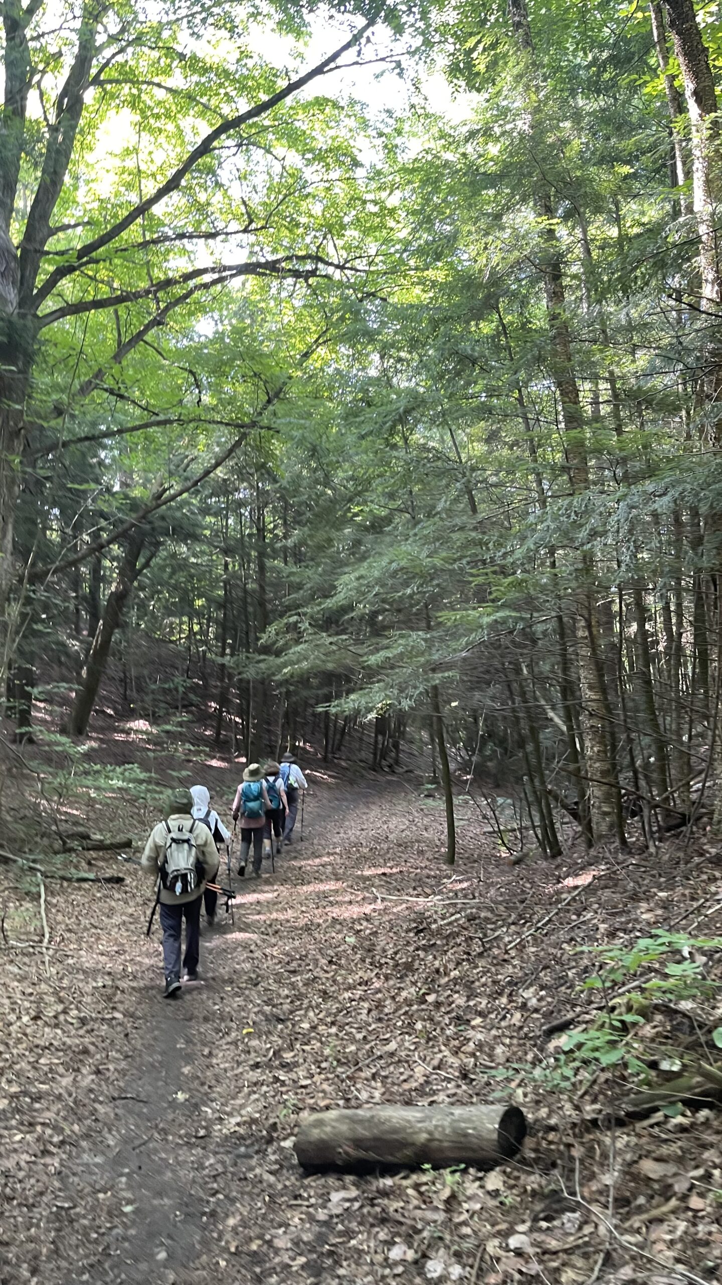
Car Hike: Exploring Uxbridge Trails (Wilder Forest, Walker Woods, and Glen Major Forest)
https://hikesstaging.brucetrail.org/event/exploring-uxbridge-trails-wilder-forest-walker-woods-and-glen-major-forest/Sorry, the registration cut-off time for this hike has been reached.Not a member? Click here to join today!Hosting Club: Toronto
Location (Google Maps):
2499 Brock Rd, Uxbridge, ON L9P 1R4. We will meet at the East Duffins Headwaters parking lot at the WILDER
FOREST trail head. As soon as you got off the Brock Road, passing the horse back riding facility, there is a free designated parking lot 70 meters down the lane to your right. It includes a sign board for East Duffins Headwaters with a map of the trails. Please do not park on the lane or in the horse back riding property.Hike Leader(s): Amir Alemohammad Click here to contact Hike Leader(s)
Pace: Moderate (3-4 km/hr)
Terrain: Hilly, Level 2 (Intermediate – some hills and uneven surfaces, rocks and roots underfoot), Variable
Distance: Approx.14-16 KmDescription
Join us for an enjoyable fall hike in Uxbridge! We’ll explore parts of Wilder Forest, Walker Woods, and Glen Major Forest in a loop starting from Brock Road, passing Concession Road 6, heading west and back. Along the main trail, we’ll also venture onto several side trails.Please stay on the designated trails at all times. Expect beautiful scenic views and lookouts facing south, with a mix of hilly and flat segments. Be prepared for variable weather—chilly and windy conditions are likely this time of year. Boots mandatory, poles recommended.
Bring at least 2 liters of water and your favorite snacks. We’ll have frequent 2-minute breaks for hydration and lookout photos, along with a 20-minute lunch stop at the Aggregate Pit look out. Please pack your own lunch and refreshments for an enjoyable outdoor meal.
Don’t forget your camera and a smile as we explore the beauty of the Uxbridge trails!

9:00 Last chance! - Witch of Cave Spring Hike
https://hikesstaging.brucetrail.org/event/900-last-chance-witch-of-cave-spring-hike/Sorry, the registration cut-off time for this hike has been reached.Not a member? Click here to join today!Hosting Club: Niagara
Category: In and Out
Location (Google Maps):Parking lot Quarry Road Beamsville
Hike Leader(s): Angela Lytle Click here to contact Hike Leader(s)
Pace: Medium
Terrain: Moderate
Distance: 5 – 6 kmDescription
Last chance for 2024 to complete this guided hike and count it towards the Screaming Tunnel Badge, more info on the badge requirements is here: https://niagarabrucetrail.club/badges/Enjoy a beautiful hike through the autumn woods and learn about local historical and mystical lore while searching for the Witch of Cave Spring. We do make some stops along the way so dress warmly/in layers to be comfortable.
Wearing a witch hat, while not required, is highly recommended!
Details:
This hike loops from Quarry Rd in Beamsville (limited parking, carpool if possible) along the Bruce Trail to Cave Spring Conservation area and back.
Note: The path to Cave Spring is quite rocky and has some hills. We recommend using hiking poles and wearing good hiking shoes is a must. Carry water and dress for changeable weather.
We will stop along the way at sites of interest and loop back to the car park on Quarry Rd. The loop is around 5 km. Please arrive by 8:50 to check in with the hike leader for departure at 9.

Kerncliff Park to the BTC seed orchard
https://hikesstaging.brucetrail.org/event/kerncliff-park-to-the-btc-seed-orchard/Sorry, the registration cut-off time for this hike has been reached.Not a member? Click here to join today!Hike open to BTC Members only.
Hosting Club: Iroquoia
Category: General Hike
Location (Google Maps): Meet by 9:15 for a 9:30 start at Kerncliff Park, 2198 Kern’s Road, Burlington (Do not get confused with Cityview Park). Access up Kern’s Road is from the lower city only. We will do a brisk hike out to the BTC Seed Orchard and I will give an introduction to what it is all about. Then return to the parking lot. Optional Coffee or tea at Williams Cafe a short drive away on North Service Road afterwards. Trail has rocky sections. Bring water and layered clothing. Optional snacks. Icers may be required – you never know at this time.Hike Leader(s): Paul Toffoletti Click here to contact Hike Leader(s)
Pace: Brisk – 4 to 5 km/hr
Terrain: Moderate – Some hills and/or some poor footing
Distance: 9.5Description

10:00 Niagara College Brewery Hike, Brewery Tour and Beer tasting experience
https://hikesstaging.brucetrail.org/event/1000-niagara-college-brewery-hike-brewery-tour-and-beer-tasting-experience/Sorry, the registration cut-off time for this hike has been reached.Not a member? Click here to join today!Hosting Club: Niagara
Category: In and Out
Location (Google Maps): Park at Niagara College Greenhouse Nursery, 135 Taylor Road, Niagara-On-The-LakeHike Leader(s): Sam Rutherford Click here to contact Hike Leader(s)
Pace: Medium
Terrain: Moderate
Distance: 6kDescription
We will hike on side trails and the main trail from Niagara College Brewery through Woodend Conservation Area and return back to Niagara College Brewery by 11:30. Upon return we will enjoy a private tour of the teaching brewery and a structured beer tasting of four different brews led by one of the knowledgeable and friendly brewery staff from 11:30 to 12:30. The cost for the tour and tasting experience is $18.00 per person. Please bring your $18.00 with you as I will collect it prior to the tasting to simplify the payment to Niagara College Brewery. Thank you.Exploring Sydenham Hike 20
https://hikesstaging.brucetrail.org/event/exploring-sydenham-hike-20/Sorry, the registration cut-off time for this hike has been reached.Not a member? Click here to join today!Hosting Club: Sydenham
Category: General Hike
Location (Google Maps):Meet in the north-east corner of the parking lot at Home Depot on Highway 26 on the east side of Owen Sound.
Hike Leader(s): Bill Snel Click here to contact Hike Leader(s)
Pace: Leisurely: 3 km/h or less
Terrain: Moderate: Some hills and/or poor footing
Distance: 2.4 kmDescription
We will carpool to do a hike in the Boyd Crevice. This is hike 20 in the book, Exploring Sydenham. There is one secret to locate. If you do not have a book and would like one ($30) let me know by using the “Contact hike leader” link. While this is quite a short hike the variety of the rock formations are amazing to look at. - 25November 25, 2024
Iroquoia Stained Glass End 2 End (Nov25,26,27, Dec 2,3,4)
https://hikesstaging.brucetrail.org/event/iroquoia-stained-glass-end-2-end-nov252627-dec-234/Sorry, the registration cut-off time for this hike has been reached.Not a member? Click here to join today!This is a Multi-Day Hike
You are signing up for the following dates:
2024-11-25, 2024-11-26, 2024-11-27, 2024-12-02, 2024-12-03, 2024-12-04Hosting Club: Iroquoia, Caledon Hills
Category: Iroquoia E2E-in-Six
Location (Google Maps): Calcium Pits roadside parking on Twiss Rd.Hike Leader(s): Steven White Click here to contact Hike Leader(s)
Pace: Brisk – 4 to 5 km/hr
Terrain: Strenuous – Hilly with steep climbs and some poor footing
Distance: 20kmDescription
This is the eighth section in our Cairn to Cairn hike series this fall. Heather Murch and I are co-leading these hikes. Strong hikers are welcome to join for sections or individual hikes, but will need to register for each end to end section series. This series of hikes are 20-24 kms per day and due to parking or hike length, some hikes cover more than one section.
We meet at 7:30 – hikers should arrive early and be ready to shuttle at that time. We will take turns and everyone is expected to participate in the shuttling. Any parking costs will be shared.
There is another End to End hike series posted by Heather for those who want to hike and not receive this special Stained Glass badge.
Hikers should wear layered clothing, bring rainwear, poles, hiking boots, hat, water, snacks, lunch, bug spray, sunblock and be prepared for changing weather this time of year.
Hiking itinerary with parking coordinates will be emailed to registered hikers.Iroquoia E2E
https://hikesstaging.brucetrail.org/event/iroquoia-e2e/Sorry, the registration cut-off time for this hike has been reached.Not a member? Click here to join today!Hike open to BTC Members only.
This is a Multi-Day Hike
You are signing up for the following dates and times:
2024-11-25 at 07:30
2024-11-26 at 07:30
2024-11-27 at 07:30
2024-12-02 at 07:30
2024-12-03 at 07:30
2024-12-04 at 07:30Hosting Club: Iroquoia, Caledon Hills
Category: End-to-End
Location (Google Maps): Calcium Pits, roadside parking on Twiss Rd.Hike Leader(s): Heather Murch Click here to contact Hike Leader(s)
Pace: Brisk – 4 to 5 km/hour
Terrain: Moderate – some hills and/or some poor footing
Distance: 20 kmDescription
This is the eighth section in our Cairn to Cairn hike series this fall. Heather Murch and Steven White are co-leading these hikes. Strong hikers are welcome to join for sections or individual hikes, but will need to register for each end to end section series. This series of hikes are 20-24 kms per day and due to parking or hike length, some hikes cover more than one section.We meet at 7:30 – hikers should be ready to shuttle at that time. We will take turns and everyone is expected to participate in the shuttling. Any parking costs will be shared.
There is another End to End hike series posted by Steven for those who want to hike and receive a special Stained Glass badge.
Hikers should wear layered clothing, bring rainwear, poles, hiking boots, hat, water, snacks, lunch, bug spray, sunblock and be prepared for changing weather this time of year.
Hiking itinerary with parking coordinates will be emailed to registered hikers.
Iroquoia E2E Series 5 of 8
https://hikesstaging.brucetrail.org/event/iroquoia-e2e-series-5-of-8/Sorry, the registration cut-off time for this hike has been reached.Not a member? Click here to join today!Hike open to BTC Members only.
Hosting Club: Iroquoia
Location (Google Maps): Meeting Place: City View Parking Lot
Hike Leader(s): Pati Greenwood, Jeff Dowsett Click here to contact Hike Leader(s)
Pace: Medium – 3 to 4 km/hr
Terrain: Moderate – Some hills and/or some poor footing
Distance: 14.7Description
Join us for this 5th hike of the of 8 hike series to complete the Iroquoia Section of the Bruce Trail. Register for all 8 hikes (to be entitled to the badge) or only the ones you are available for. Car shuffle and other hike details will be emailed to registered hikers a few days prior to the hike. Bring plenty of water and a snack. Wear appropriate clothing for conditions. Hiking boots are mandatory and hiking poles are suggested. Please arrive at the meeting place by 8:15 am as we will leave promptly at 8:30 am to shuffle to our starting point.Toronto E2E (2 days) Stained Glass Fundraiser
https://hikesstaging.brucetrail.org/event/toronto-e2e-2-days-stained-glass-fundraiser/Sorry, the registration cut-off time for this hike has been reached.Not a member? Click here to join today!Hike open to BTC Members only.
This is a Multi-Day Hike
You are signing up for the following dates and times:
2024-11-25 at 08:30
2024-11-26 at 08:30Hosting Club: Toronto, Sydenham
Category: Fundraiser
Location (Google Maps): Roadside parking on west side of 6th Line, south of Highway 7 near Georgetown (43.658281, -79.985371)Hike Leader(s): Karen Buschert Click here to contact Hike Leader(s)
Pace: Brisk: 4 to 5 km/h
Terrain: Moderate: Some hills and/or poor footing, There might be muddy sections.
Distance: Distances range from 23-26 km per dayDescription
Through this fundraising hike, you can complete the Toronto section in 2 days and earn the Stained Glass badge! Registration cost is $30 and goes to the Toronto Bruce Trail Club. We will be hiking at a moderate pace over moderate to difficult terrain. Because of the distance we need to cover each day, please ensure you have the strength and stamina for two long hiking days.Hikers should wear layered clothing, bring rainwear, poles, hiking boots, hat, water, snacks, lunch, and be prepared for changing weather this time of year.
Hiking itinerary with parking coordinates will be emailed to registered hikers.
Limehouse Loop
https://hikesstaging.brucetrail.org/event/limehouse-loop-4/Sorry, the registration cut-off time for this hike has been reached.Not a member? Click here to join today!Hosting Club: Iroquoia
Category: General Hike
Location (Google Maps): Main parking lot at Limehouse Conservation AreaHike Leader(s): Karen Bergmann Click here to contact Hike Leader(s)
Pace: Medium – 3 to 4 km/hr
Terrain: Moderate – Some hills and/or some poor footing
Distance: 8 kmsDescription
We will hike around the historic Limehouse park and then up the road and into another forest, following the main and side trails and looping back to go up the Hole in the Wall. Hike is dependent on weather conditions.Pottawatomi/Jones Falls loop
https://hikesstaging.brucetrail.org/event/pottawatomi-jones-falls-loop/Sorry, the registration cut-off time for this hike has been reached.Not a member? Click here to join today!Hosting Club: Sydenham
Category: General Hike
Location (Google Maps): Parking lot of the Pottawatomi Conservation Area by the Owen Sound Transportation CompanyHike Leader(s): Cindy Paczkowski Click here to contact Hike Leader(s)
Pace: Leisurely: 3 km/h or less
Terrain: Moderate: Some hills and/or poor footing, There might be muddy sections., There might be sections with water on the trail.
Distance: 4.5 kmDescription
This is a loop hike beginning on the Merle Gunby side trail. We head toward the main Bruce trail northward for a short distance. We then pick up the Jones Falls side trail which descends through a crevice with some tricky footing. Depending on the flow of the river and falls, we can investigate the river bed and get some great photos of Jones Falls. From there we join up with the Memorial Forest side trail which skirts the base of the escarpment with dramatic views of the cliff wall. We climb a short but steep trail back up to the main Bruce Trail. Then we head southward and get back onto the Merle Gunby side trail heading back to the parking lot. The hike is short in distance but has some technical sections. Please wear good hiking shoes or boots. Lots of opportunity to take photos.Men's Hike: Fairways Meadow Side Trail
https://hikesstaging.brucetrail.org/event/mens-hike-fairways-meadow-side-trail/Sorry, the registration cut-off time for this hike has been reached.Not a member? Click here to join today!Hosting Club: Peninsula
Location (Google Maps): Fairway Meadows Side Trail, Little Cove, Tobermory
Hike Leader(s): Owen Glendon Click here to contact Hike Leader(s)
Pace: Medium
Terrain: Easy, Moderate
Distance: ~4 kmDescription
Hike the new Fairway Meadows Side Trail at the invitation of the new land owner, which runs between Little Cove and the main trail to Dunk’s Bay. We will take a short side trip down to the beach at Little Cove.The hike should finish by 1:00 pm.
Drive north on Hwy 6 from Ferndale.Turn right (east) on Little Cove Rd and take to the end. Parking will be arranged there.
Dress for possible windy/cold weather, bring water and some snacks and wear sturdy hiking footwear.