
Hike Schedule
Join us for a hike! Registration required.
All hikes available to BTC members. Some hikes are open to non-members.
See Refund Policy for Paid Hikes >
TIP: The calendar view displays up to 7 hikes on a day, but often there are more. Click “View more events” to see them all.
Categories
- 29January 29, 2024
9:00 Welland Canals Hikes #2 and #3 Woodend and Sobey's Parking lot
https://hikesstaging.brucetrail.org/event/900-welland-canals-hikes-2-and-3-woodend-and-sobeys-parking-lot/Sorry, the registration cut-off time for this hike has been reached.Not a member? Click here to join today!Hosting Club: Niagara
Category: In and Out
Location (Google Maps):1. Sobey’s Parking lot, Glendale Ave, St. Catharines N43.136490 W79.216689
2. Woodend Conservation Area, Taylor Rd , NOTL N43.143377 W79.167212Hike Leader(s): Lauren Doig Click here to contact Hike Leader(s)
Pace: Medium
Terrain: Easy
Distance: First hike: 8.5 km Second Hike: 9 kmDescription
We will complete Hikes #2 and #3 of the new Welland Canals Badge series . We will meet at Sobey’s Parking lot at 9:00 and complete the loopish hike. We will then move our vehicles to the start point for the next hike, which is Woodend parking lot on Taylor RdSobey’s Hike: 9 km
Woodend hike 8.5 km
Please refer to the Badge section of the NBTC website for information about all 4 hikes and the required pictures.
Mount Nemo Hiking Trails from Walkers Line
https://hikesstaging.brucetrail.org/event/mount-nemo-hiking-trails-from-walkers-line/Sorry, the registration cut-off time for this hike has been reached.Not a member? Click here to join today!Hike open to BTC Members only.
Hosting Club: Iroquoia
Category: General Hike
Location (Google Maps): Conservation Halton parking area on the west side of Walkers Line.
Directions to meeting place: Drive the QEW-403 to Walkers Line, exit and drive north on Walkers Line for 13.2 km. The Mt. Nemo Conservation parking lot is just beyond the intersection of Walkers Line and Side Rd 2.Hike Leader(s): Victoria Best Click here to contact Hike Leader(s)
Pace: Medium – 3 to 4 km/hr
Terrain: Moderate – Some hills and/or some poor footing, Slippery and Steep Sections, Slippery Sections Likely, Strenuous – Hilly with steep climbs and some poor footing
Distance: 8-9 kmDescription
The hike begins with a strenuous, steep and rocky accent to the top of the escarpment. Expect uneven surfaces which may be slippery. Hiking boots and icers required. No running shoes. Hiking poles are recommended. Bring snack and beverage. No dogs please.
Please arrive at 9:45 for a 10:00AM departure. Register using the hiking schedule.
Cancellations the morning of the hike please call 905-257-6815.
Pre-pay and reserve parking at www.conservationhalton.caLindenwood Loops
https://hikesstaging.brucetrail.org/event/lindenwood-loops-2/Sorry, the registration cut-off time for this hike has been reached.Not a member? Click here to join today!Hosting Club: Sydenham
Category: Snowshoe Hike
Location (Google Maps): The Owen Sound Galaxy Theatre parking lot. Meet at the tall “Galaxy Centre” sign next to the traffic lights, or at the parking lot on Lindenwood Road.Hike Leader(s): Franziska Edney Click here to contact Hike Leader(s)
Pace: Medium: 3 to 4 km/h
Terrain: Easy: Mostly flat and good footing., Moderate: Some hills and/or poor footing
Distance: 8.7 kms, or lessDescription
We will meet at Galaxy Theatre Parking for car pooling at 1:00 pm or at the Lindenwood Road Parking at 1:30 pm. We will hike the Lindenwood Loop plus the Lindenwood Pond Loop, if conditions allow and hikers are interested. There are no hills, but the full distance will make it a 2.5 hr hike or snowshoe hike. Please bring water and snow shoes. If there is not much snow, bring your grippers. Please contact the hike leader if you have any questions at 519 379 2573, or if you are interested in car pooling. Map 33 - 30January 30, 2024
9:00 Long Hike Wiley Road Short Hills
https://hikesstaging.brucetrail.org/event/900-long-hike-wiley-road-short-hills-23/Sorry, the registration cut-off time for this hike has been reached.Not a member? Click here to join today!Hosting Club: Niagara
Location (Google Maps):
Short Hills Wiley Road Entrance
Pace: Medium
Terrain: Moderate
: 10kmDescription
Explore Short Hills and the majestic side trails of Scarlett Tanager, Hemlock. Swayze Falls and Terrace. Register for each hike
Bring Poles water, snack, Icers and dress for the weather
9:15 Short hike, Pelham Road, Short Hills
https://hikesstaging.brucetrail.org/event/915-short-hike-pelham-road-short-hills-74/Sorry, the registration cut-off time for this hike has been reached.Not a member? Click here to join today!Hosting Club: Niagara
Location (Google Maps): Pelham Road entrance, Short Hills Provincial Park
Hike Leader(s): janet davey Click here to contact Hike Leader(s)
Pace: Medium
Terrain: Moderate
Distance: 6 kmsDescription
Hike the main and side trails of Short Hills Provincial Park. Bring hiking boots, icers and water.Mono Cliffs/Laidlaw and South Outlier Side Trails
https://hikesstaging.brucetrail.org/event/mono-cliffs-laidlaw-and-south-outlier-side-trails/Sorry, the registration cut-off time for this hike has been reached.Not a member? Click here to join today!Hosting Club: Dufferin Hi-Land
Category: Tuesday Hike
Location (Google Maps):Dufferin Hi-Land Section, Map 19. Meet at Mono Community Centre hiker parking area off of 2nd Line Mono at south end of Mono Centre village.
Hike Leader(s): Les Babbage, Inge Eckerich, Julie Daley, Tony Evangelista Click here to contact Hike Leader(s)
Pace: Leisurely
Terrain: Slippery Sections Likely, Moderate
Distance: Long hike: 5.6 km; Short: 2 kmDescription
Both hikes will take the west arm of the Laidlaw Side Trail to the Main Trail. The short hike will return by way of the east arm of the Laidlaw Side Trail. The longer hike will continue on to the South Outlier Side Trial, returning by way of the Main Trail and the east arm of the Laidlaw Side Trail. Snowshoes or icers may be required. Bring water and snacksTerra Cotta
https://hikesstaging.brucetrail.org/event/terra-cotta-11/Sorry, the registration cut-off time for this hike has been reached.Not a member? Click here to join today!Hosting Club: Caledon Hills
Category: Tuesday Hikers
Location (Google Maps): Meet at Winston Churchill Blvd., intersection with Caledon Trailway.
Driving direction: North on Highway 410, continue north on Highway 10, left on King Street, right on Winston Churchill Blvd; drive 1 kilometre to roadside parking on either side of the road.Hike Leader(s): Mohammad Shafiq Click here to contact Hike Leader(s)
Pace: Medium – 3 to 4 km/hour
Terrain: Moderate – some hills and/or some poor footing
Distance: 12 kmDescription
Will hike Terra Cotta Side Trail and main Bruce Trail. Bring water, snack, poles, icers
Dress according to weather, in layers.
Hike Leaders phone contact for the day of hike: 416-566-0503. - 31January 31, 2024

Niagara Winter End to End #5 Decew House to Woodend Conservation Area
https://hikesstaging.brucetrail.org/event/niagara-winter-end-to-end-5-decew-house-to-woodend-conservation-area-2/Sorry, the registration cut-off time for this hike has been reached.Not a member? Click here to join today!Hosting Club: Niagara
Category: Car Pool
Location (Google Maps): Meet at Woodend Conservation Area and Carpool to Decew HouseHike Leader(s): Sam Rutherford Click here to contact Hike Leader(s)
Pace: Medium
Terrain: Moderate
Distance: 14.5 kmsDescription
We will be car pooling, Bring Icers and poles. No dogs. To earn your Niagara Winter End to End badge, it must be completed between December 21, 2022 to March 21, 2023.
Because of the potential for bad winter trail conditions we have broken this e2e into 6 hikes rather than 5Wasaga Beach
https://hikesstaging.brucetrail.org/event/hockley-valley-on-the-4th-line-part-2-3/Sorry, the registration cut-off time for this hike has been reached.Not a member? Click here to join today!Hosting Club: Blue Mountains
Category: Register in person the morning of hike.
Location (Google Maps): Hike meets in the parking lot behind Tim Hortons on First St. in Collingwood.Hike Leader(s): David Little Click here to contact Hike Leader(s)
Pace: Medium – 3 to 4 km/hr
Terrain: Moderate – Some hills and/or some poor footing
Distance: 7 kmDescription
This is a loop trail located near Wasaga Beach. Lots of hills and options to
take. This will be an exploration of some new trails to hike. Be prepared to explore the
variety within this hike. Bring a snack or lunch and water.
CHBTC Frosty 5 and 60 for the 60th Anniversary Badge Combo
https://hikesstaging.brucetrail.org/event/chbtc-frosty-five-60th-anniversary-badge-combo-3/Sorry, the registration cut-off time for this hike has been reached.Not a member? Click here to join today!Hosting Club: Caledon Hills
Category: General
Location (Google Maps): Meet at the parking lot on east side of 3rd Line EHS which provides access to Glen Cross Side Trail, 43.992646, -80.047917Directions: From ON-10 head east on Hockley Rd./Dufferin County Rd. 7 for 6.5 km. Turn left onto 3rd Line EHS and drive for 1.0 km. Parking is on the right.
Hike Leader(s): Sandy Green Click here to contact Hike Leader(s)
Pace: Medium – 3 to 4 km/hour
Terrain: Strenuous – hilly with steep climbs and some poor footing
Distance: 12 kilometresDescription
Register individually for one, a few, or all of the Frosty 5 and 60 for the 60th Anniversary Badge Combo hikes. Participants who complete five hikes will be eligible to receive a CHBTC Winter badge and a 60th Anniversary badge. This hike explores main Trail and the Glen Cross and Isabell East Side Trails in the Hockley Valley Provincial Nature Reserve. Bring your choice of hydration and snacks. Hiking boots and icers/crampons are required. Hikes in the series take place on select Wednesdays and Sundays. (Note: If you wish to purchase badges, the cost of each badge is $10.00 for BTC members and $15.00 for non-members.)
Winter Wednesday Walkers - Old Baldy
https://hikesstaging.brucetrail.org/event/winter-wednesday-walkers-old-baldy/Sorry, the registration cut-off time for this hike has been reached.Not a member? Click here to join today!Hosting Club: Beaver Valley
Location (Google Maps): Meet in the Grey Sauble CA parking lot, km 43.9, Map 26, Edition 3, at the end of the small section of road off Sideroad 7B. Do not attempt to drive up 7B from Grey Road 13, there is no winter maintenance. Instead access 7B from south of Kimberley – Grey Road 13 to Artemesia-Euphrasia Townline to 3rd Line A, then 7B.
Hike Leader(s): Glenda Collings Click here to contact the hike leader.
Pace: Medium
Terrain: Moderate, Some steep sections
Length of Hike: Approx. 5 kmDescription
This is a in and out hike with tremendous views from the heights of Old Baldy. On winter hikes we may encounter bare ground, light snow, deep snow, or ice. Please bring snowshoes and icers to our Winter Wednesday Walkers outings. Wear appropriate clothing for the weather plus water and a snack.COVID-19 Precautions Before, During and After your Hike
- Each hiker joining a Bruce Trail Club organized hike must perform a self-screening check before hiking.
Find Ontario’s self-assessment tool here: https://covid-19.ontario.ca/self-assessment/ - If you are experiencing COVID-19 symptoms, stay home.
Other Guidelines
- Arrive 15 minutes before the start of the hike.
- Wear sturdy footwear and appropriate attire for the weather and the terrain.
Hiking poles are a good idea in any season, especially if the terrain is rocky or slippery. In winter, snowshoes or icers/crampons are needed when conditions dictate.
Wearing appropriate clothing and footwear prevents injuries and shows consideration for a safe and positive group hiking experience. - Always carry I.D. and your health card.
- Bring sufficient water and snacks (or lunch if indicated). A minimum of 1L of water is recommended on all hikes, and 3L is recommended for long, challenging hikes in the heat of the summer.
- Bring sunscreen and insect repellent (for spring and summer hikes).
- Bring your own first aid kit.
- Please leave dogs at home.
Good Companions - Eastward and Return from Chedoke Golf Course
https://hikesstaging.brucetrail.org/event/good-companions-eastward-and-return-from-chedoke-golf-course-3/Sorry, the registration cut-off time for this hike has been reached.Not a member? Click here to join today!Hosting Club: Iroquoia
Category: Good Companions
Location (Google Maps):Chedoke Golf Course Parking Lot, Hamilton (See map below)
Hike Leader(s): Ted Bossence Click here to contact Hike Leader(s)
Pace: Medium – 3 to 4 km/hr
Terrain: Dependent on Conditions, Moderate – Some hills and/or some poor footing, Slippery and Steep Sections, Slippery Sections Likely
Distance: 7.5 kmDescription
We will head east from the Chedoke Golf Course parking lot along the radial line and then onto the Bruce Trail (with some hills and one steep section) up the escarpment. We will need to cross busy Beckett’s Drive/Queen Street Hill. We will then follow the Bruce Trail to the top of the escarpment and then descending to the city streets and return via the tree lined streets to the radial trail and the golf course parking lot.Bring icers, water and a snack. Walk will be cancelled in case of poor weather/driving conditions (please check your email the evening before).
Please arrive 10 minutes before the start time and we will start walking at 10:00 am sharp! Please inform me by email at tedbossence@sympatico.ca if you cancel after the 4:00pm registration cut-off time on the Tuesday and by text at 905 334-8752 if you cancel the morning of the hike.
- Each hiker joining a Bruce Trail Club organized hike must perform a self-screening check before hiking.
- 01February 1, 2024
9:00 am Long Hike Jordan to Moyer / Louth
https://hikesstaging.brucetrail.org/event/900-am-long-hike-jordan-to-moyer-louth-55/Sorry, the registration cut-off time for this hike has been reached.Not a member? Click here to join today!Hosting Club: Niagara
Location (Google Maps):
Jordan Hollow Park 3039 King St Jordan
Pace: Medium
Terrain: Moderate
: 10kDescription
From Jordan Hollow Hike the main trail to Upper and Lower Balls Falls, Moyer Road or Louth and Return. You must register for each hike. Bring Poles, sunscreen, bug spray , snack and a drink and dress for the weather
9:15 Short Hike, Jordan Hollow
https://hikesstaging.brucetrail.org/event/915-short-hike-jordan-hollow-94/Sorry, the registration cut-off time for this hike has been reached.Not a member? Click here to join today!Hosting Club: Niagara
Category: Loop
Location (Google Maps): Jordan Hollow Park, Jordan StationHike Leader(s): Bill Russell Click here to contact Hike Leader(s)
Pace: Medium
Terrain: Moderate
Distance: ~ 6kmsDescription
Hike the main and side trails around Jordan and Ball’s Falls. Bring hiking boots, water and icers. This hike qualifies for the Winter hiking badge. See the website for details. https://niagarabrucetrail.club/badges/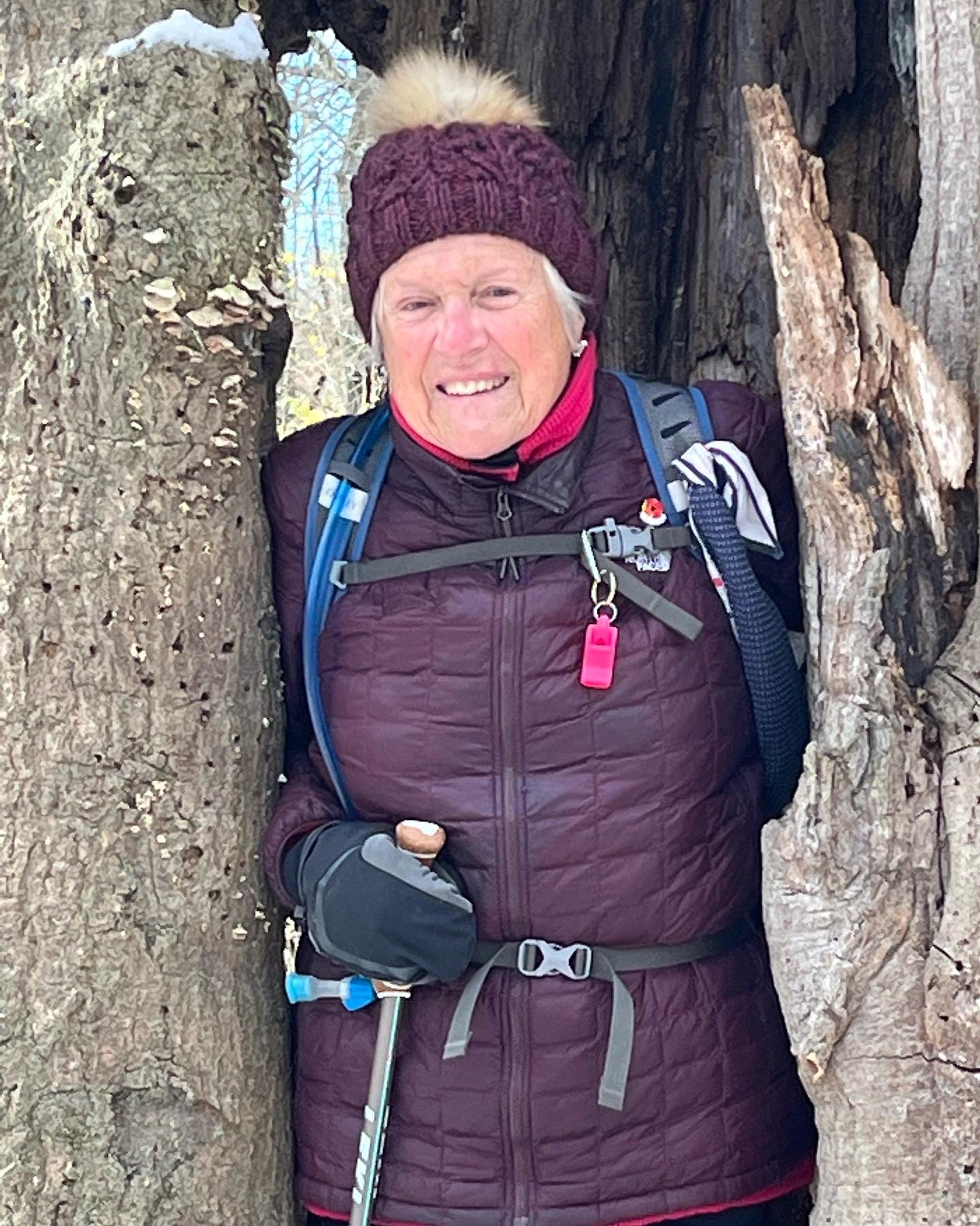
Rattlesnake Point Loop
https://hikesstaging.brucetrail.org/event/rattlesnake-point-loop-6/Sorry, the registration cut-off time for this hike has been reached.Not a member? Click here to join today!Hosting Club: Iroquoia
Category: Thursday Group
Location (Google Maps): Rattlesnake Point Conservation Area, 7200 Appleby LineHike Leader(s): Anne Armstrong Click here to contact Hike Leader(s)
Pace: Leisurely – 3km/hr or less
Terrain: Moderate – Some hills and/or some poor footing
Distance: Approx. 9 km.Description
Join in this hike which will have us hiking along the escarpment and down into Nassagaweya Canyon. We will get great views across the canyon to Crawford Lake CA and from in the canyon we will see the escarpment above us. Expect some poor footing with the possibility of snow and ice. Bring water, a snack, icers and poles if using. If you cancel the morning of the hike please text me at 905 617 3937. You will need to make a reservation with Rattlesnake Point CA.
Leader: Anne Armstrong 905 617 3937 hikingrandma@gmail.com