
Hike Schedule
Join us for a hike! Registration required.
All hikes available to BTC members. Some hikes are open to non-members.
See Refund Policy for Paid Hikes >
TIP: The calendar view displays up to 7 hikes on a day, but often there are more. Click “View more events” to see them all.
Categories
- 25June 25, 2023

Car Hike: Strawberries and a Stroll
https://hikesstaging.brucetrail.org/event/car-hike-strawberries-and-a-stroll/Sorry, the registration cut-off time for this hike has been reached.Not a member? Click here to join today!Hosting Club: Toronto
Category: Car Hike
Location (Google Maps): We will meet at the parking lot of Rattlesnake Point Conservation Area (7200 Appleby Line, Milton).Hike Leader(s): Monica Pasquali Click here to contact Hike Leader(s)
Pace: Leisurely
Terrain: Variable
Distance: 5 KMDescription
Enjoy two wonderful things in one day: a stroll along the Bruce Trail at Rattlesnake Point Conservation Area followed by a visit to Springridge Farm for lunch and to pick up some strawberries to take home. First we’ll do an out-and-back hike of the Rattlesnake Point Side Trail, enjoying the scenic southerly views along the way. After returning to our cars, those who would like to join me in extending their day of fun will make the 5-minute drive to reach Springridge Farm where kids can play in the “Fun Farmyard”, or if you’re looking for something more leisurely you can simply buy a delicious lunch or treat from the farmhouse bakery and enjoy it in the great outdoors. Before heading home, you might also want to purchase some freshly-picked strawberries since June is strawberry season here in Ontario!Children under 13 years of age are encouraged to join their parents/guardians on this hike so they can fulfill the requirements for the Iroquoia Bruce Trail Club’s Summer Junior Hiker Badge (https://www.iroquoia.on.ca/index.php/hiking/junior-hiker-program/) – all family members who are planning on joining us should register for the hike, including children. You should bring enough water and food for a 3-hour hike, comfortable hiking shoes, sun and bug protection, appropriate clothing for the weather, and money if you intend to join us at Springridge Farm after the hike to play or eat.
Note that you must book and pay for a 3-hour time slot for parking at Rattlesnake Point Conservation Area (https://www.conservationhalton.ca/parks/rattlesnake-point/). When you make this reservation, please choose the 9:00 am – 12:00 pm time slot. Time slots may fill up fast so you should make this reservation as soon as you register for this hike.
Also note that there is a $12 fee for people aged 2-92 who visit the “Fun Farmyard” at Springridge Farm (https://www.springridgefarm.com/). These fees can be paid upon entering this area of the farm. There is no fee associated with visiting the farm market, bakery, or gift shop – you only pay for what you purchase in these areas of the farm.
Beaver Valley E2E #3 - Old Baldy and Eugenia
https://hikesstaging.brucetrail.org/event/beaver-valley-e2e-3-old-baldy/Sorry, the registration cut-off time for this hike has been reached.Not a member? Click here to join today!Hike open to BTC Members only.
Hosting Club: Dufferin Hi-Land
Category: General Hike
Location (Google Maps): West end of North Street at the north end of the village of Eugenia. 44.319895, -80.528232. km 58.3 BTC map 26.Hike Leader(s): Stuart Law, Helen Bailey, Susan Bate Click here to contact Hike Leader(s)
Pace: Medium
Terrain: Slippery and Steep Sections, Strenuous
Distance: 16.5 kmDescription
Join us in our third of a series of Humane Hiking hikes of the Beaver Valley on the east side of the valley taking in famous Old Baldy and the strange hydro penstocks. Please bring bug spray for the bugs and ticks, sun screen, 3L of water, a snack, a lunch, an appreciation of nature and a smile. Please be ready to shuttle at 9 am.
Discovery Badge Series 2/5 Shuttle Hike
https://hikesstaging.brucetrail.org/event/discovery-badge-series-2-5-shuttle-hike/Sorry, the registration cut-off time for this hike has been reached.Not a member? Click here to join today!Hosting Club: Caledon Hills
Category: General
Location (Google Maps): Meet at Roadside Parking (km 31.6) on Innis Lake Road, north of Finnerty Sideroad (43.918917, -79.909387).Directions to Meeting Location: From Airport Road, turn east onto Finnerty Side Road for 1.4 km. Turn left onto Innis Lake Road. Limited parking is on the right hand side. For additional roadside parking, park on the north side of Finnerty, east of Innis Lake Road.
Shuttle to St. Andrew’s Road (km 24.5) north of
Escarpment Sideroad. Park along the east shoulder of the road by St. Andrew’s Stone Church, 17621 St. Andrew’s Road, Caledon ON L7K 2E1Note: Dogs are not permitted on sections of the trail in this area. Please respect the wishes of our landowners.
Hike Leader(s): Sandy Green and Dominique Garceau Click here to contact Hike Leader(s)
Pace: Medium – 3 to 4 km/hour
Terrain: Easy – mostly flat and usually good footing
Distance: 10.6 kilometresDescription
Register individually for one, a few, or all of the five Discovery Badge Series hikes. Participants who complete all five hikes will be eligible to receive a CHBTC Discovery Hike Badge. Hike Two explores main Trail and the Mountainview Road and Songbird Side Trails in the Caledon East area. Bring your choice of hydration and snacks. Hiking boots are highly recommended. See June 18, July, 2, July 16, and July 23 for details pertaining to the other hikes in the series. (Note: If you wish to purchase badges, the cost of each badge is $10.00 for BTC members and $15.00 for non-members.)

Neilson Park to Marie Curtis Park - Etobicoke Creek Trail (make-up hike from June 11th)
https://hikesstaging.brucetrail.org/event/urban-walk-neilson-park-to-marie-curtis-park-etobicoke-creek-trail/Sorry, the registration cut-off time for this hike has been reached.Not a member? Click here to join today!Hosting Club: Toronto
Category: Urban Walk
Location (Google Maps): Transit users meet us at Kipling Subway upper floor bus platforms near the washrooms by 9:05 am. We will be boarding the 49 Bloor West TTC bus for a 9:16 departure. Coming directly to the hike, meet us by 9:35 am at Neilson Park Creative Centre, 56 Neilson Drive, Toronto. Neilson Drive runs north off of Dundas St. W, west of the 427 HWY and The West Mall.Hike Leader(s): Andrew Proczek; Thomas Swales Click here to contact Hike Leader(s)
Pace: Moderate
Terrain: Flat, Other (Refer to Description), Variable
Distance: 11.5 kmDescription
Join Tom Swales and me for a scenic romp along Etobicoke Creek to the Waterfront. Starting from Bloor St. & Markland Dr. to the Neilson Park Creative Centre, the route will be entirely in nature along a winding, up and down, dirt path until the Middle Road Bridge at around 4.5 km, after which we will be mostly on paved path with a few off path dirt trails near the creek. Please be advised that the trail is uneven in places with a short sloping section near the start where hikers will need to exert caution. Once we arrive at Marie Curtis Park we will do a short loop on the west side of the creek through a wooded area and then cross back over to meet up with the beach boardwalk before finishing the hike at Long Branch TTC loop. Hiking shoes are a necessity and hiking poles will be an asset. Public washrooms at either end of the hike, at Neilson Park and at Marie Curtis Park. There will be an optional pub stop at the end of the hike. Anyone coming to the Neilson Park Creative Centre by car, I will accompany you by transit and make sure you make it back to your car at the end of the hike. Bring a Presto Card or change for the bus. Transit users will be able to catch a Go Train from Long Branch Station or a bus from the Long Branch Loop back to the Subway.The route: https://onthegomap.com/s/fhamqdi1
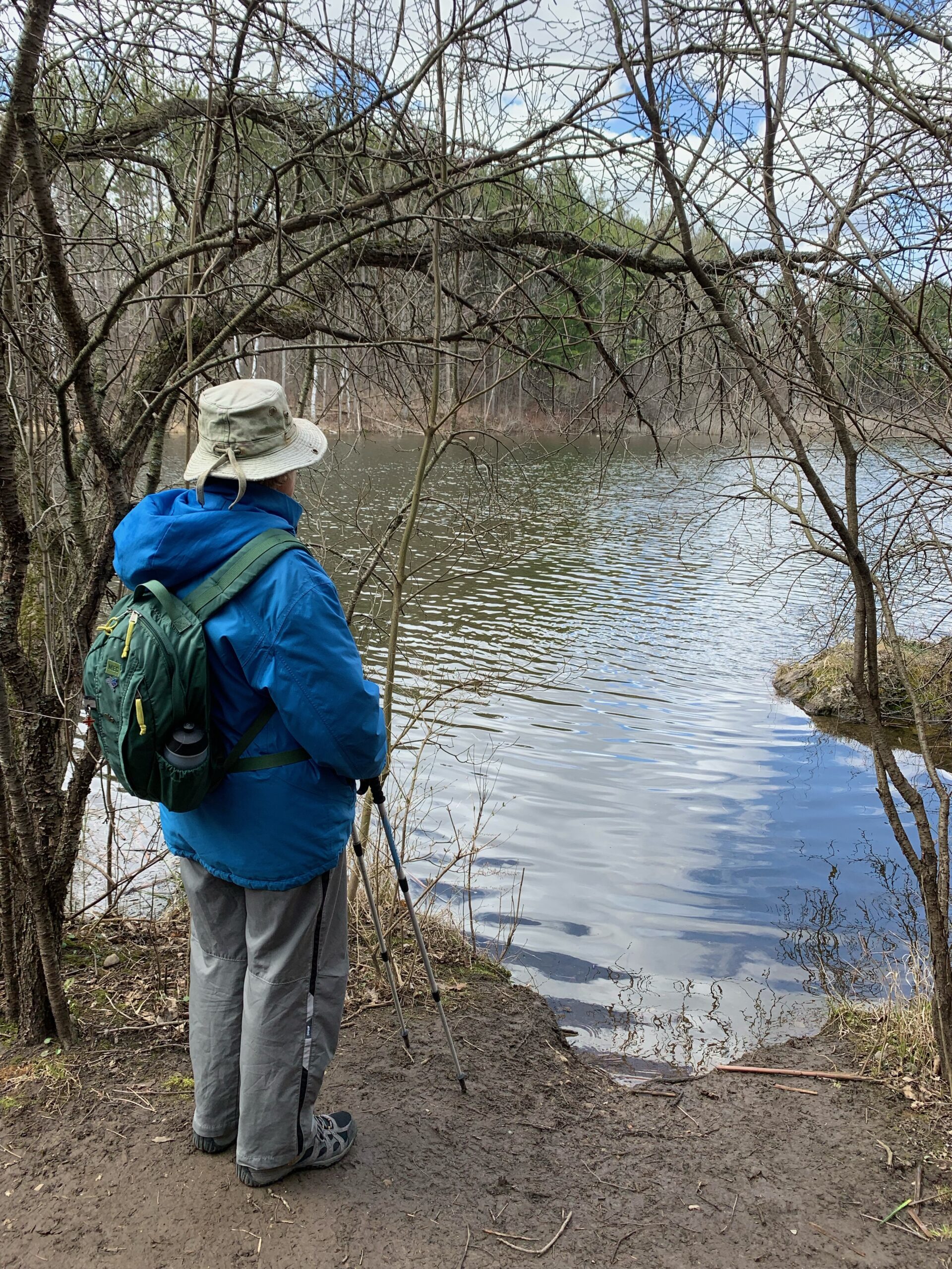
Hiking in the Forest
https://hikesstaging.brucetrail.org/event/hiking-in-the-forest/Sorry, the registration cut-off time for this hike has been reached.Not a member? Click here to join today!Hosting Club: Iroquoia
Category: General Hike
Location (Google Maps): Halton Agreement Forest, Guelph Line N. Across from the Mohawk/Woodbine Casino and Raceway.Hike Leader(s): Anne Armstrong Click here to contact Hike Leader(s)
Pace: Leisurely – 3km/hr or less
Terrain: Easy – Mostly flat and usually good footing
Distance: Approx. 9 km.Description
Please join me in hiking in this incredible forest with its numerous trails, from flat to rocky, rooty and twisty, twiny terrain. Our route today will be mostly flat, with one section that is rocky. We will pass through some marshy areas. Please meet in the north east corner of the Mohawk/Woodbine Casino parking lot at 9:45 am. for a 10:00 am. start. Bring water, a snack or lunch, sunscreen and insect repellent.
Urban Walk: Ajax to Whitby
https://hikesstaging.brucetrail.org/event/urban-walk-ajax-to-whitby/Sorry, the registration cut-off time for this hike has been reached.Not a member? Click here to join today!Hosting Club: Toronto
Category: Urban Walk
Location (Google Maps): Durham Waterfront TrailHike Leader(s): Brian Rideout Click here to contact Hike Leader(s)
Pace: Moderate
Terrain: Flat
Distance: 17 kmDescription
On Sunday June 25, 2023, please join me by 9:00 am under the clock in the Great Hall of Union Station. We will take the 9:20 am eastbound train to Whitby, arriving 10:06 am. We will hike south to Lake Ontario and then east to Whitby for a distance of 17.1 km. There are washrooms at Union Station, Ajax GO and on the train as well as at km 4, km 13 and km 15. Bring at least two liters of water, lunch, bug spray and sunscreen. Our pub stop will be The Royal Oak – Whitby Shores at km 15.Here is an online map of our route: Whitby Shores and Lynde ShoresYou can buy a GO Transit day pass for $10.Sunday Social Hike - Loop hike in the KOA area
https://hikesstaging.brucetrail.org/event/sunday-social-hike-loop-hike-in-the-koa-area/Sorry, the registration cut-off time for this hike has been reached.Not a member? Click here to join today!Hosting Club: Sydenham
Category: General Hike
Location (Google Maps):Parking on Meaford Sideroad 15 below the escarpment, at km 82.1 (Map 31)
Hike Leader(s): Bill Snel Click here to contact Hike Leader(s)
Pace: Leisurely: 3 km/h or less
Terrain: Moderate: Some hills and/or poor footing
Distance: 4 kmDescription
We will hike up the escarpment on the Sideroad 15 road allowance and then do a loop to the KOA and back to our cars using KOA and Rock Springs Side trails. For more information contact Bill Snel at w.snel2@gmail.com or call landline (519) 470-0584. If you are unable to register, please contact the leader to let him know you will be attending.