
Hike Schedule
Join us for a hike! Registration required.
All hikes available to BTC members. Some hikes are open to non-members.
See Refund Policy for Paid Hikes >
TIP: The calendar view displays up to 7 hikes on a day, but often there are more. Click “View more events” to see them all.
Categories
- 16June 16, 2023
Car Hike: 20th Annual Excellent Orchid Adventure – Chi-Cheemaun Weekend
https://hikesstaging.brucetrail.org/event/car-hike-20th-annual-excellent-orchid-adventure-chi-cheemaun-weekend/Sorry, the registration cut-off time for this hike has been reached.Not a member? Click here to join today!This is a Multi-Day Hike
You are signing up for the following dates:
2023-06-16, 2023-06-17, 2023-06-18Hosting Club: Toronto
Category: Car Hike
Location (Google Maps): Princess Hotel
34 Bay St, Tobermory, ON N0H 2R0Hike Leader(s): Jeanette Vincent. Brenda Menezes. David Royle. Click here to contact Hike Leader(s)
Pace: Leisurely
Terrain: Rocky, Variable
Distance: 10 KmDescription
We continue Greg Vincent’s legacy of weekends away. Please join Jeanette Vincent, Brenda and David Royle as we explore the Tip o’ the Bruce, Tobermory in search of orchids and other flowers. Our search will extend to Flowerpot Island (cost approx. $60.00 for the glass bottom ferry and Parks Canada fee). The wildflowers in the Tobermory area at this time of year are wonderful and our slow paced walks will focus on these flowers and the area’s great views. We stay and have our meals at a comfortable hotel overlooking Little Tub Harbour. Approximately 10km/day.
This outing is restricted to those staying with us at the Princess Hotel in Tobermory for the weekend – the hotel fills quickly. You will need a car to access this outing. Please contact the Princess Hotel for a reservation.1-519-592-8282 or info@tobermoryprincesshotel.com and mention Vincent/Royle Excellent Orchid weekend.
Before registering at the hotel please contact Jeanette: vincentjeanette1604@gmail.com | 519-588-5916 For prices and more details.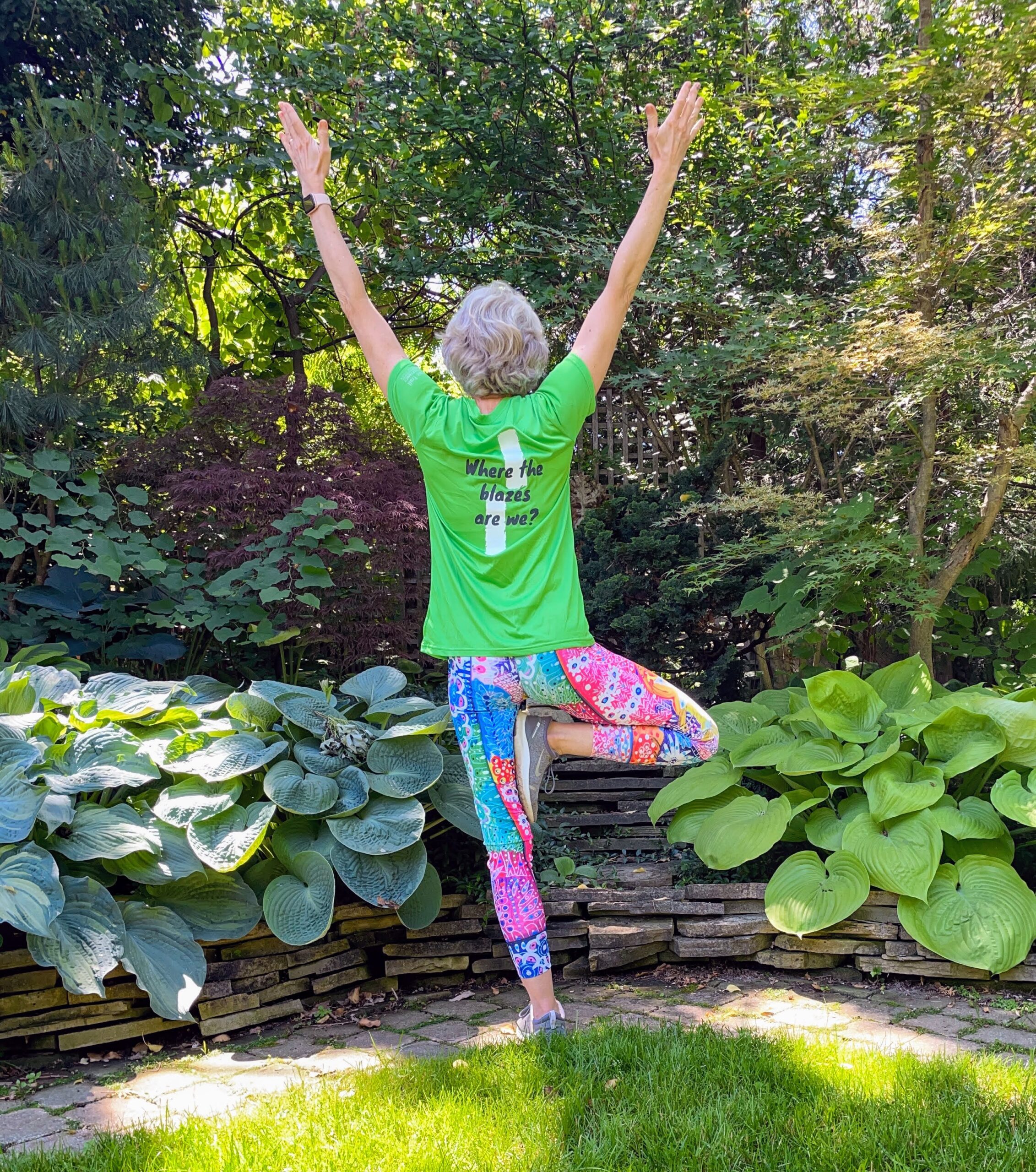
9:00 am Niagara on the Lake Tour & Some Yoga
https://hikesstaging.brucetrail.org/event/900-am-niagara-on-the-lake-tour-some-yoga-9/Sorry, the registration cut-off time for this hike has been reached.Not a member? Click here to join today!Hosting Club: Niagara
Location (Google Maps):
Veteran’s Memorial Park, park just outside the park on King St.
Hike Leader(s): Robin Garrett Click here to contact Hike Leader(s)
Pace: Medium
Terrain: Easy
Distance: 6 kmDescription
Enjoy the benefits of pausing for a yoga practice as we tour through the trails, parkland and Historic Niagara-on-the-Lake. No mat required. Movement will focus on a flow of standing poses designed especially for hikers. Plan to stay for conversation and a warm cup of coffee or tea at Sweets & Swirls, Community Centre, Niagara Stone Road, NOTL. - 17June 17, 2023

Cancelled: One Day End to End
https://hikesstaging.brucetrail.org/event/one-day-end-to-end/Sorry, the registration cut-off time for this hike has been reached.Not a member? Click here to join today!Hosting Club: Dufferin Hi-Land
Category: Cancelled
Location (Google Maps): Mono Community Centre, 754483 Mono Centre Rd, Mono, ON L9W 5W9Map Reference: 19
Directions to Parking Location:
If coming by Hwy 10 from Orangeville
– follow 10 north to Dufferin County Rd 8/Mono Centre Rd
– turn right onto Dufferin County Road 8/Mono Centre Rd f
– follow this road for 6 km and turn right into the Community Centre parking lotHike Leader(s): Tom Thayer, Susan Bate, Les Babbage Click here to contact Hike Leader(s)
Pace: Brisk
Terrain: Dependent on Conditions, Moderate, Strenuous
Distance: 56kmDescription
Celebrate the coming summer season on one of the longest days of the year and hike 56km in one day! Earn your White Trillium Badge while experiencing the beauty of the Dufferin Hi-Land Bruce Trail section. There will be checkpoints along the way with volunteers offering assistance, snacks and refreshments, which will keep you fuelled to finish this one-day End-to-End challenge.The bus leaves at 6:30am from the Mono Community Centre parking lot in Mono Centre. Registration is $55 for members, $65 for non-members and includes shuttle bus service, checkpoint snacks and refreshments, White Trillium Badge (must complete full hike to earn badge), and post-hike refreshments.Barrow Bay Staircase, Peninsula
https://hikesstaging.brucetrail.org/event/barrow-bay-staircase-peninsula-2/Sorry, the registration cut-off time for this hike has been reached.Not a member? Click here to join today!Hosting Club: Blue Mountains
Category: Register in person the morning of hike.
Location (Google Maps): Hike meets in the parking lot behind Tim Hortons on First St. in Collingwood.Hike Leader(s): Dick Edwards Click here to contact Hike Leader(s)
Pace: Medium – 3 to 4 km/hr
Terrain: Strenuous – Hilly with steep climbs and some poor footing
Distance: 7kmDescription
This has a short shuttle. We will drive from Collingwood to Lions Head (2 hours) and follow Cty. Rd. 9 to km 67.9 at the junction of the Barrow Bay Side Trail which has now become the white blazed trail after printing edition 30. We follow this NEW trail to a very steep descent down the Escarpment to the Georgian Bay shore. We then follow a moderately rugged path just inside the treeline for 2km along an unspoiled rocky shoreline. We then head back up via a steep zig zag among huge boulders until we meet a formerly impassable cliff, now conquered by a spectacular wooden staircase built in 2020 by volunteers from the Peninsula BTC. We will take a moment to appreciate the hard work and beautiful views before continuing on an easy peasy walk to our end point. The trail features cliffs, spectacular lookouts, and dense forests. A long drive home but what a spectacular new section of our fabulous footpath to have experienced. Bring snacks, lunch and water. Available parking: S Shore Rd.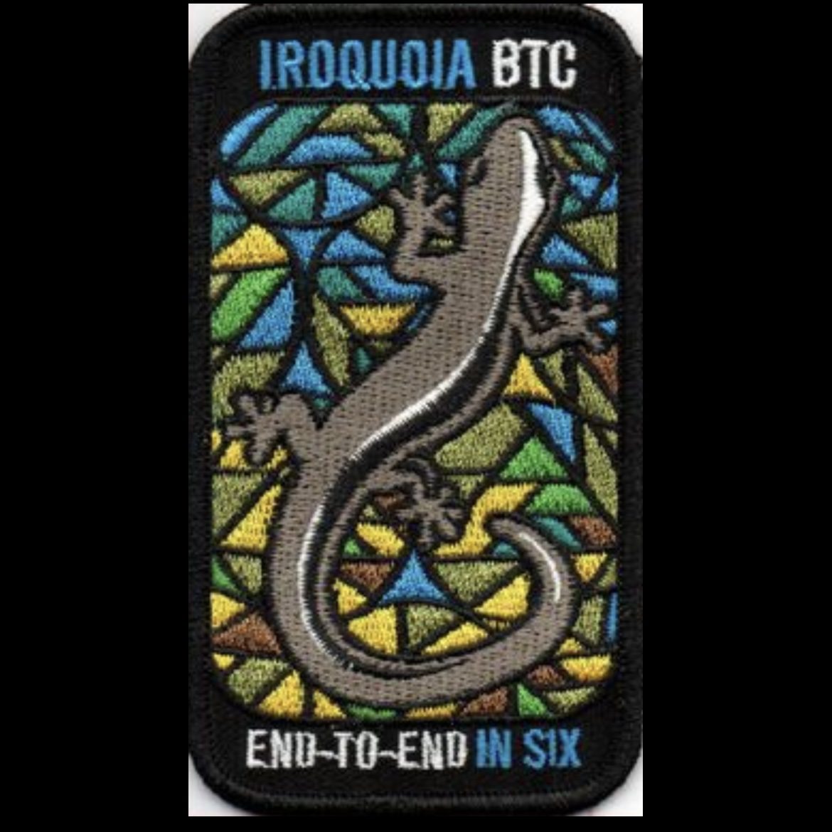
REVISED DATES - Iroquoia E2E in 6 - Jun 17-18, July 8-9, July 22-23 (Meet time 7:30 AM)
https://hikesstaging.brucetrail.org/event/iroquoia-e2e-in-6-may-27-28-jun-17-18-july-8-9-meet-time-730-am/Sorry, the registration cut-off time for this hike has been reached.Not a member? Click here to join today!This is a Multi-Day Hike
You are signing up for the following dates:
2023-06-17, 2023-06-17, 2023-06-18, 2023-07-08, 2023-07-09, 2023-07-22, 2023-07-23Hosting Club: Iroquoia
Category: Iroquoia E2E-in-Six
Location (Google Maps): Various – Schedule will be emailed to registered hikersHike Leader(s): Freddy Wang Click here to contact Hike Leader(s)
Pace: Brisk – 4 to 5 km/hr
Terrain: Dependent on Conditions, Moderate – Some hills and/or some poor footing, Strenuous – Hilly with steep climbs and some poor footing
Distance: Varies – 18-23 km per dayDescription
This is a special series of 6 hikes to complete the entire Iroquoia section of the Bruce Trail over three weekends. There is an accomplishment badge, included in the registration fee – which was designed by Joe Borges and features the endangered Jefferson Salamander. https://www.ontario.ca/document/five-year-review-progress-towards-protection-and-recovery-ontarios-species-risk-2015-0/jefferson-salamander.For this E2E in 6, we will be following the main trail northbound eventually finishing in Kelso near Milton. Please note that you are signing up for the entire series of six hikes as a Group Hike. The Iroquoia in 6 series is geared to experienced long distance hikers with the expectation of a 3.5 to 5.0 km/hr pace maintained over an 18 to 23 km day. No dropout points have been established and therefore hikers who must drop out, will be responsible for their own transportation. Please be honest about your hiking abilities.
Hikers will be expected to wear proper hiking footwear with the expectation of hot and possibly wet weather, with trail conditions varying from dry to muddy. Please being bug spray/repellant and sunscreen if you use it. Sufficient food and min 2l of water for a full day of hiking is also required. Hiking poles and wet weather gear (if necessary) are recommended. A 10-15 minute on-trail lunch break will be scheduled.
The fee goes towards supporting the Iroquoia Bruce Trail Club, which in turn supports the mission of the Bruce Trail Conservancy, which is: “Preserving a ribbon of wilderness, for everyone, forever.”
A maximum of 1 (of the 6) hikes can be self-completed as a result of scheduling challenges, but it is intended that this badge be earned while hiking as part of a group led by a certified hike leader. Car shuttles are shared amongst the hikers.
Please note there are no refunds!
This particular set of 6 hikes is intended to be BRISK. Please be honest about your degree of physical fitness prior to registration.
TRANSPORTATION
This series will be through hikes and will require car shuttling, you must be willing to drive or to be a passenger. Masks are strongly recommended. Some parking locations require paid parking, and hikes that enter Halton Conservation Areas will require reservations. The fee for the E2E-in-Six does not cover any parking/entry fees for hikers who are not members of the Halton CA and/or Hamilton CA. If the group has enough hikers who are members of a CA, those will be the cars chosen to park in those areas so as to minimize costs but since conservation passes are not free, please consider nominal compensation to the pass holder. At least one hike starts at one CA and possibly ends at another, so parking fees are unavoidable for non-CA members.
Please remember, like all hikes, this is a Leave No Trace hike. Pack out whatever you pack in. Do not throw anything onto or into any sections of the trail.
Remember, you can only miss one hike to qualify for this special Jefferson Salamander badge. You must still complete the one day distance you have missed. If you miss more than one but still complete the distances on your own, you may apply for the regular club End to End badge.
8:30 Rockway Short Hills Return
https://hikesstaging.brucetrail.org/event/830-rockway-short-hills-return-2/Sorry, the registration cut-off time for this hike has been reached.Not a member? Click here to join today!Hosting Club: Niagara
Category: In and Out
Location (Google Maps): Rockway Conservation Area, Pelham Road Map 3.Hike Leader(s): Sam Rutherford Click here to contact Hike Leader(s)
Pace: Medium
Terrain: Moderate
Distance: 15kDescription
Hike from Rockway Falls to the main trail through Short Hills Provincial Park returning along the Swayze Falls TrailCar Hike: Rouge National Park Toronto
https://hikesstaging.brucetrail.org/event/car-hike-rouge-national-park-toronto-4/Sorry, the registration cut-off time for this hike has been reached.Not a member? Click here to join today!Hosting Club: Toronto
Category: Car Hike
Location (Google Maps): Please park at free parking lot in Zoo Road beside the trail headHike Leader(s): Mohammad Aghamiri Click here to contact Hike Leader(s)
Pace: Moderate
Terrain: Hilly, Variable
Distance: 14-15KMDescription
Will explore Toronto part of Rouge park along Rouge river and Little Rouge Creek,Some safety procedures during the hike:
1-Hikers must stay between the leader and the sweep.
2-Hikers must advise the leader or the sweep if they wish to leave the group.
3- Hikers must follow the whistle instructions: 1 blast- stay where you are; 2 blasts come to the leader; 3 blasts – come to the leader quickly.
4-Hike leader may request volunteers to stop at trail intersections, they need to help hikers to the direction the group walk and wait till they see the sweep .
5-Hikers have to make sure they can see the persons behind and in front of them.
Bus Hike: Mount Nemo, Iroquoia
https://hikesstaging.brucetrail.org/event/bus-hike-mount-nemo-iroquoia/Sorry, the registration cut-off time for this hike has been reached.Not a member? Click here to join today!Trip Information
Departure Time: 08:30
Return to City Time: 17:30
Departure Point: York Mills Bus PickupOptional Items
Hosting Club: Toronto
Category: Bus Hike
Location (Google Maps): Mount Nemo Conservation Area, Map 9/10Hike Leader(s): Miriam Stevens, Tom Swales Click here to contact Hike Leader(s)
Pace: Moderate
Terrain: Hilly, Rocky
Distance: 10 KMDescription
Join us for a hike with magnificent views along the Niagara Escarpment. A few short hills and one “mini canyon” accessible by wooden steps. We will have lots of water breaks and stops for look outpoints. Pace 3 km/hour, hilly/rocky. Dropouts at 3 km and 6km. Fit beginners and families are welcome. Refreshments at Tim Hortons and Longo’s on Hwy 5. Hiking Boots are required.
#5/5 Loop of Toronto Hike for Urban Hiking Badge - 16km
https://hikesstaging.brucetrail.org/event/5-5-loop-of-toronto-hike-for-urban-hiking-badge-16km/Sorry, the registration cut-off time for this hike has been reached.Not a member? Click here to join today!Hosting Club: Toronto
Category: Urban Walk
Location (Google Maps): Parking Lot #2 Wilket Creek Park, south of the intersection of Leslie Street & Eglinton Ave EHike Leader(s): Alina Lin Click here to contact Hike Leader(s)
Pace: Moderate
Terrain: Flat
Distance: 16kmDescription
Embark on a captivating journey through Toronto’s remarkable urban trail systems. From the scenic Don River in the east to the captivating Waterfront in the south, the tranquil Humber River in the west, and the enchanting Finch Corridor in the north, this diverse collection of trails offers an unforgettable opportunity to explore the city’s longest trails on foot.By interconnecting these four trail systems, which weave through more than ten parks and trails, we are creating an awe-inspiring loop spanning approximately 74 kilometers: https://onthegomap.com/s/c2c1hf3n . As a testament to your accomplishment, completing the entire loop will earn you the Toronto Urban Hiking Badge—the first ever urban hiking badge launched by the Toronto Bruce Trail Club.
Distance: 16km. Start from Leslie St .& Eglinton Ave (Parking Lot #2 Wilket Creek Park) and end at Yonge St & Queens Quay.
Pace: 4kph
Trail condition: mostly flat and paved. Running shoes are recommended.
Bring water and snacks. Dress and prepare for the weather.
Dropouts are available anytime.
We will have 10 people finishing the entire loop of 74 KM and qualifying the badge. Badges will be presented at the hike to those qualified hikers.

Grindstone Creek to Smokey Hollow
https://hikesstaging.brucetrail.org/event/grindstone-creek-to-smokey-hollow/Sorry, the registration cut-off time for this hike has been reached.Not a member? Click here to join today!Hosting Club: Toronto
Category: Car Hike
Location (Google Maps): Meeting location: Roadside parking along Snake Rd where it meets Main Bruce Trail. BTC Map 9.
N43.317174, W79.892363Hike Leader(s): Ross Estrella, Peter Leeney Click here to contact Hike Leader(s)
Pace: Moderate
Terrain: Hilly, Rocky, Variable
Distance: Approximately 12 kmsDescription
From Trailhead, will follow Main Trail along the scenic beauty of Grindstone Creek, make a loop at Norman Pearson Side Trail, McNallys Side Trail and Eric Bests Side Trail leading to Smokey Hollow Waterfall. While it’s not one of the tallest of Hamilton’s 150 + waterfalls, it is one of the most spectacular. Water plunge and the creek’s rushing water is a calming sound to your senses. There’s a viewing platform over the Great Falls and great location for photo shoot. No dropouts, were pacing 3.5 to 4 km/hr through rocky, hilly with some steep climb and wooden steps. From Smokey Hollow will trace back the Main Trail to parking lot. Refreshment after the hike.Wear appropriate clothing, hiking shoes/boots and a recommendation of hiking poles. Pack snacks, lunch, enough water (at least 2 liters) sunhat, sunscreen and bug repellent.
Please arrive 15 minutes early due to limited parking spaces and 9:15 start. Consider car pooling.
How to get there: From Toronto/Mississauga area, follow QEW (Niagara) then take Hwy 403 (Hamilton), take exit 74 to Hwy 6 North, then take exit to York Rd. (Plainsroad/Burlington). At the end of the off-ramp turn left to Old York Rd. Follow 2 km to Snake Rd and turn left. Meeting location is approximately 900 meters ahead. From Hamilton area take Hwy 6 North and follow description above.
Toronto Urban Badge Hike - 2 of 7
https://hikesstaging.brucetrail.org/event/toronto-urban-badge-hike-2-of-7/Sorry, the registration cut-off time for this hike has been reached.Not a member? Click here to join today!Hosting Club: Toronto
Category: Urban Walk
Location (Google Maps): Toronto, Ontario, CanadaHike Leader(s): Brian Rideout Click here to contact Hike Leader(s)
Pace: Moderate
Terrain: Flat
Distance: 10.9 kmDescription
Please join me at the south east corner of Eglinton and Scarlett by 10 AM. We will hike south on the Humber Recreational Trail to Lakeshore Blvd and Ellis (km 19.2 to km 8.3). Here is an online map with km markings of our route for all 7 hikes for the Toronto Urban Badge.Please make sure you bring at least 2 liters of water, a lunch, bug spray and sunscreen.
Car Hike; Mono Cliffs
https://hikesstaging.brucetrail.org/event/car-hike-mono-cliffs-3/Sorry, the registration cut-off time for this hike has been reached.Not a member? Click here to join today!Hosting Club: Toronto
Category: Cancelled
Location (Google Maps): Mono Cliffs Provincial Park and environs, Map 19Hike Leader(s): Al Brown Click here to contact Hike Leader(s)
Pace: Brisk
Terrain: Variable
Distance: 14 kmDescription
We will hike the main and side trails through Mono Cliffs Provincial Park and northerly loop side trail. About half the route in under forest cover and a section is on a country road. The trail is mostly rolling to flat allowing for a brisk pace.Those interested may meet at the Hockley Valley Resort (or alternate TBA) to replace electrolytes.
To get to the meeting point drive north on Hwy 10 past Orangeville to 15 Sideroad. Turn left and take the road into the village of Mono Centre. The meeting point is the parking lot about 200 meters south of the T intersection in the village.
- 18June 18, 2023

Toronto section E2E 4/4
https://hikesstaging.brucetrail.org/event/toronto-section-e2e-4-4/Sorry, the registration cut-off time for this hike has been reached.Not a member? Click here to join today!Hosting Club: Niagara, Toronto
Category: Car Pool
Location (Google Maps): We meet each other at the roadside parking on Boston Mills Rd, just west of the Mississauga Rd intersection. Please note that the driveway is private property.Hike Leader(s): Mehrnoush Ahmadi Click here to contact Hike Leader(s)
Pace: Medium
Terrain: Moderate
Distance: 17kmDescription
This is the last leg of the Toronto section E2E hike, which is divided into four parts. Each part requires separate registration.In the last part, we will also be hiking some side trails during the hike. At the end of the hike, there is a 4-kilometer out-and-back stretch from the parking area to reach the endpoint of the Toronto section.
If you would like to receive the badge for completing the
E2E, there is a fee of ten dollars.IF THE HIKERS WOULD LIKE TO OBTAIN THE NEW FOUND RAISING BADGE, they have the option to e-transfer the fee (The fee is $30.00 for BTC members and $40.00 for non-members) to the TBTC treasurer’s email at tbtctreasurer211@gmail.com and receive it when you complete the section.
Please note that this is a carpool hike, so it’s important to come with an empty car and be prepared for carpooling and sharing rides.
On Badge day, there will be an option for a gathering during lunchtime. We can all come together to celebrate and enjoy a meal.
Dress appropriately for the weather conditions. Make sure to bring snacks, lunch, and a minimum of 2 liters of water.
During the hike, we will take short water breaks, as well as a 30-minute lunch break.
Every body is welcome! See you there!
Guelph Line to Old Guelph Road Parking - 17.5 KM
https://hikesstaging.brucetrail.org/event/gueph-line-to-old-guelph-road-parking-17-5-km/Sorry, the registration cut-off time for this hike has been reached.Not a member? Click here to join today!Hosting Club: Toronto
Category: Car Hike
Location (Google Maps): Roadside parking on the north end of Old Guelph Road (Map 9, 65.8 KM)Hike Leader(s): Fayyaz Mahmood Click here to contact Hike Leader(s)
Pace: Brisk
Terrain: Challenging, Rocky, Variable
Distance: 17.5 KMDescription
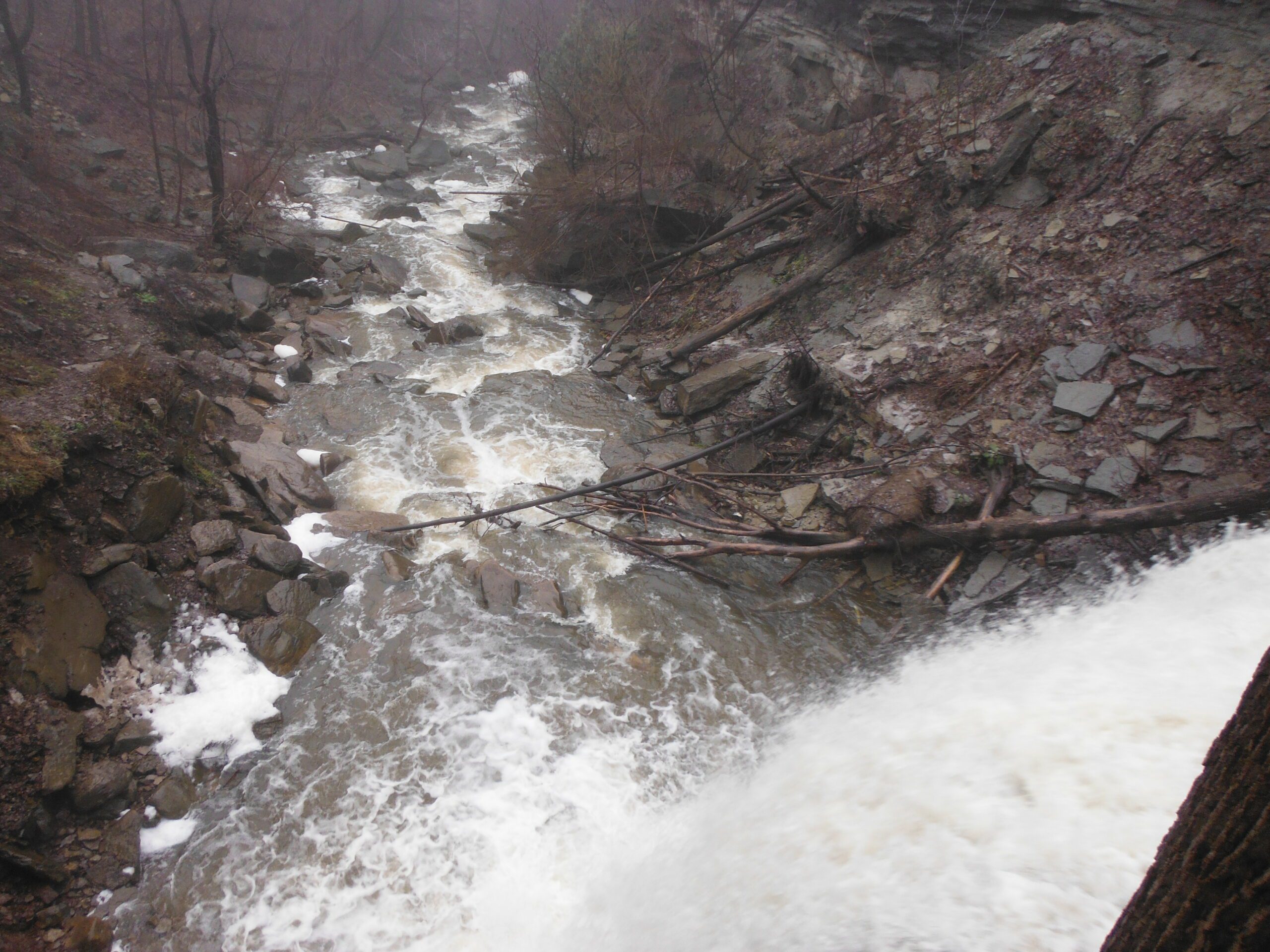
We will meet at the roadside parking at the north end of Old Guelph Road (Map 9, 65.8KM). We will carpool to Guelph Line (Map 10, 82.6KM). We will go South passing Fisher Pond, then cross Dundas Road at Signal Hill, going past City View Park, through Waterdown Woods to the Great Falls in Grindstone Creek Valley. We continue on crossing Snake Road going through Clappson Woods to complete the hike.Special Instructions:
Bring at least 2.5 litres of water and your lunch.
Bring bug spray – you will need it.
Hiking shoes required.Urban Walk: Forest Hill/Cedarvale Ravine/Beltline Sunday morning walk
https://hikesstaging.brucetrail.org/event/urban-walk-forest-hill-cedarvale-ravine-beltline-sunday-morning-walk/Sorry, the registration cut-off time for this hike has been reached.Not a member? Click here to join today!Hosting Club: Toronto
Category: Urban Walk
Location (Google Maps): Yonge and St. ClairHike Leader(s): Danny Pivnick Click here to contact Hike Leader(s)
Pace: Moderate
Terrain: Flat
Distance: 10kmsDescription
Please join us for a nice relaxing walk through some beautiful parts of Forest Hill into Forest Hill Village before entering the Cedarvale Ravine up towards Eglinton and the Beltline Trail. Following the Beltline Trail back to Yonge St., we will briefly enter Mt. Pleasant Cemetery where we will look at the gravestone of Canada’s longest serving Prime Minister (Mackenzie King). This walk will begin and end at Yonge and St. Clair. For walk route, you can copy and paste the following link into your browser: https://onthegomap.com/s/6arbgc51
Discovery Badge Series 1/5
https://hikesstaging.brucetrail.org/event/discovery-badge-series-1-5/Sorry, the registration cut-off time for this hike has been reached.Not a member? Click here to join today!Hosting Club: Caledon Hills
Category: General
Location (Google Maps): Intersection of Cataract Road and Mississauga Road at the Elora Cataract Trailway Trail Head, 43.813120, -80.028656Directions: From Hurontario St./ON-10 head west on Peel Regional Rd. 24 for 5.6 km. Turn left onto Mississauga Rd. and drive for approx. 1 km. Park on the west side of the road near the Trail Head. Be cognizant of parking signage in the area.
Hike Leader(s): Sandy Green & Dominique Garceau Click here to contact Hike Leader(s)
Pace: Medium – 3 to 4 km/hour
Terrain: Moderate – some hills and/or some poor footing
Distance: 11 kilometresDescription
Register individually for one, a few, or all of the five Discovery Badge Series hikes. Participants who complete all five hikes will be eligible to receive a CHBTC Discovery Hike Badge. Hike One explores the main Trail, and the Mill Pond Side Trail and Cataract Side Trails in Forks of the Credit Provincial Park. Bring your choice of hydration and snacks. Hiking boots are highly recommended. See June 25, July 2, July 16, and July 23 for details pertaining to the other hikes in the series. (Note: If you wish to purchase badges, the cost of each badge is $10.00 for BTC members and $15.00 for non-members.)
Chi-CheeMaun Festival Hike
https://hikesstaging.brucetrail.org/event/chi-cheemaun-festival-hike/Sorry, the registration cut-off time for this hike has been reached.Not a member? Click here to join today!Hosting Club: Peninsula
Location (Google Maps): PBTC tent in Little Harbour, Tobermory,
Hike Leader(s): Saabir Sohrab Click here to contact Hike Leader(s)
Pace: Leisurely
Terrain: Moderate
Distance: ~9kmDescription
Celebrate Chi-Cheemaun’s 48 th year at the Chi-Cheemaun Festival in Tobermory.Join the festivities by hiking with a Peninsula Bruce Trail Hike Leader on the Bruce Trail. Starting at the PBTC tent in Little Tub Harbour, Tobermory, we will hike through the quaint village of
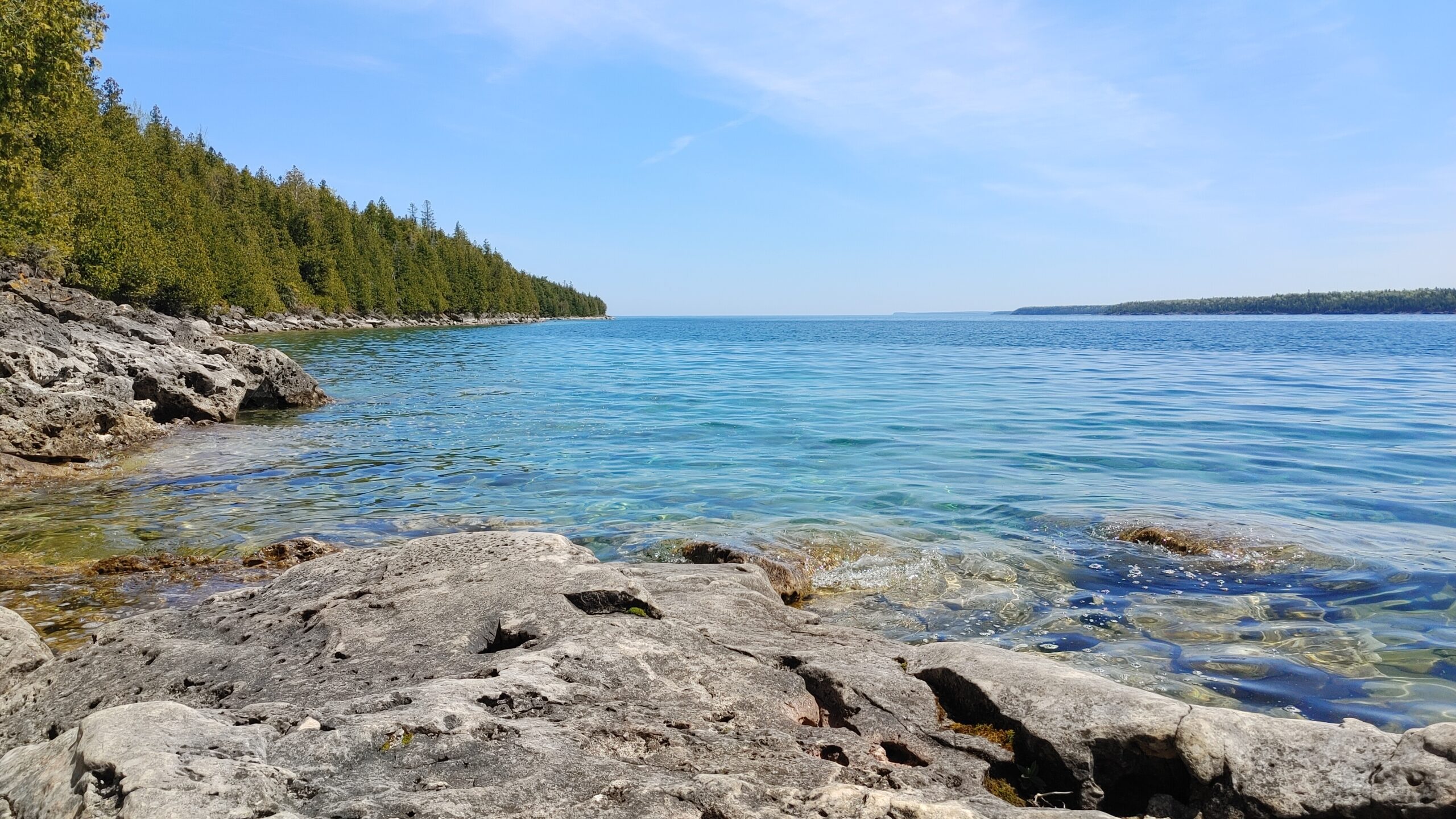
Tobermory, to the main trail. At the Northern Cairn, you will begin hiking on the historic Bruce Trail, including the picturesque Burnt Loop Side Trail with lovely water views of Georgian Bay
and Flower Pot Island. Then, we retrace our steps to rejoin the festival activities.What to bring: Wear sturdy walking shoes, hat and dress according to the weather. Bring a light backpack with water, sunscreen and insect repellent.
Pace and Terrain: This is a moderately paced hike which traverses a mixed hiking surface –asphalt sidewalks, dirt walking paths and irregular terrain including tree roots and rocks.
Toronto Urban Badge Hike - 1 of 7
https://hikesstaging.brucetrail.org/event/toronto-urban-badge-hike-1-of-7-2/Sorry, the registration cut-off time for this hike has been reached.Not a member? Click here to join today!Hosting Club: Toronto
Location (Google Maps): Toronto, Ontario, Canada
Hike Leader(s): Brian Rideout Click here to contact Hike Leader(s)
Pace: Moderate
Terrain: Flat
Distance: 11 kmDescription
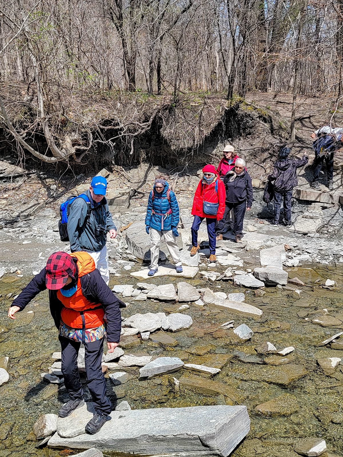
Please join me at the south west corner of Finch and Weston by 10 AM. We will hike south on the Humber Recreational Trail to Scarlet and Eglinton (km 30.2 to km 19.2). Here is an online map with km markings of our route for all 7 hikes for the Toronto Urban Badge.Please make sure you bring at least 2 liters of water, a lunch, bug spray and sunscreen.
Social/Family Hike - Rural Rocks & Obese Side Trails
https://hikesstaging.brucetrail.org/event/rural-rocks-obese-side-trail-loops-2/Sorry, the registration cut-off time for this hike has been reached.Not a member? Click here to join today!Hosting Club: Sydenham
Category: Family Hike
Location (Google Maps): The Owen Sound Galaxy Theatre parking lot. Meet at the tall “Galaxy Centre” sign next to the traffic lights.Hike Leader(s): Maureen McFarland Click here to contact Hike Leader(s)
Pace: Leisurely: 3 km/h or less
Terrain: Moderate: Some hills and/or poor footing, Strenuous: Hilly with steep climbs and some poor footing.
Distance: 4 kmDescription
We will carpool to the start of the hike on the northwest side of Wiarton. The hike starts with a spectacular, rugged section of large boulders and crevices leading into a forest and then on to a beaver pond. The trail winds along a ridge as we return to the parking area. Children will enjoy clambering on the rocks and finding the figurines that others have placed along the trail. Good footwear is needed and walking poles may be helpful. Please register each family member individually. If you are unable to register, please call or text the hike leader at 647-918-4180. - 19June 19, 2023

Car Hike: Toronto in 3 (New Fundraising Badge)
https://hikesstaging.brucetrail.org/event/car-hike-toronto-in-3-new-fundraising-badge/Sorry, the registration cut-off time for this hike has been reached.Not a member? Click here to join today!Hike open to BTC Members only.
This is a Multi-Day Hike
You are signing up for the following dates:
2023-06-19, 2023-06-21, 2023-06-22Hosting Club: Toronto
Category: Car Hike
Location (Google Maps): km 17.4 on 4th Line.Hike Leader(s): Jacquie Van Dyke Click here to contact Hike Leader(s)
Pace: Moderate
Terrain: Challenging, Variable
Distance: 17kmDescription
Registered hikers will earn the new Toronto stained glass badge!!!
You are registering for the three days – June 19, 21, and 22.
Hikers need to complete all three hikes with the leader. Hikers may miss one hike and if so, will make up the hike on their own to still qualify for the badge. Please keep a log of the missed hike and give it to the leader on the last day. Hike 2 on June 21, we’ll again meet at km 17.4 and for hike 3, we’ll meet at km 48.3 (GPS N43.750866, W79.951452). Because these hikes are so close together, a missed hike may be made up ahead of time.
The fee goes towards supporting the Toronto Bruce Trail Club, which in turn supports the mission of the Bruce Trail Conservancy “preserving a ribbon of wilderness, for everyone, forever”.
This hike is intended to be MODERATE (3-4 km per hour). Please, register only if you are capable of sustaining this pace for the day over varied/rocky terrain.
Hikers are expected to follow the COVID 19 guideline and stay home if they have symptoms.
Hikers may choose to wear masks during the car shuttle. Hike 1 will involve $$ unless you have a Halton Conservation Pass. The cost will be shared equally by participants.
Please arrive 15 minutes early to ready for an 8:30 departure, wear sturdy footwear, always carry ID cards, bring a minimum of 2 litres of water, bug repellent, and your own first aid kit.
Rockway Louth Return
https://hikesstaging.brucetrail.org/event/rockway-louth-return/Sorry, the registration cut-off time for this hike has been reached.Not a member? Click here to join today!Hosting Club: Niagara
Category: Loop
Location (Google Maps): Rockway Conservation Area, Pelham RoadHike Leader(s): Sam Rutherford Click here to contact Hike Leader(s)
Pace: Medium
Terrain: Strenuous
Distance: 8 kmsDescription
Hike from Rockway Conservation Area to Louth Conservation Area and return. Rocky hike through woodland with hills and spectacular water falls.