
Hike Schedule
Join us for a hike! Registration required.
All hikes available to BTC members. Some hikes are open to non-members.
See Refund Policy for Paid Hikes >
TIP: The calendar view displays up to 7 hikes on a day, but often there are more. Click “View more events” to see them all.
Categories
- 15May 15, 2023
Caledon Hills end to end 4 of 4
https://hikesstaging.brucetrail.org/event/caledon-hills-end-to-end-4-of-4/Sorry, the registration cut-off time for this hike has been reached.Not a member? Click here to join today!Hike open to BTC Members only.
Hosting Club: Niagara
Category: Car Pool
Location (Google Maps): Meet on 3rd Line EHS (km 71.3) south of Duferincounty Rd 8, carpool to 4th Line EHS (km 55.1)Hike Leader(s): Vince Zvonar Click here to contact Hike Leader(s)
Pace: Brisk
Terrain: ModerateDescription

Sherman Falls , Tiffany Falls and Canterbury Falls CANCELLED
https://hikesstaging.brucetrail.org/event/sherman-falls-tiffany-falls-and-canterbury-falls/Sorry, the registration cut-off time for this hike has been reached.Not a member? Click here to join today!Hosting Club: Iroquoia
Category: Happy Wanderers
Location (Google Maps):Dundas Valley Trail Centre
Hike Leader(s): Wayne Riley Click here to contact Hike Leader(s)
Pace: Medium – 3 to 4 km/hr
Terrain: Moderate – Some hills and/or some poor footing
Distance: 14 – 16 kDescription
We will meet at the parking lot of the Dundas Valley Trail Centre 43.248410 79.993747, fee appliesWe will take the Artaban side trail to Sherman and Tiffany Falls and return on the main trail to Canterbury Falls then back to the parking lot ( 14-16K )
Bring water, lunch, insect spray, hiking boots and no dogs please
RSVP using the Bruce Trail site
Cancellations the morning of the hike call 289 456 3498
May 15-19, 2023: Kingston area multi-events adventure!
https://hikesstaging.brucetrail.org/event/may-15-19-2023-kingston-area-multi-events-adventure/Sorry, the registration cut-off time for this hike has been reached.Not a member? Click here to join today!Hike open to BTC Members only.
This is a Multi-Day Hike
You are signing up for the following dates and times:
2023-05-15 at 09:00
2023-05-19 atHosting Club: Iroquoia
Category: Special Event
Location (Google Maps): Kingston areaHike Leader(s): Louise Langlais Click here to contact Hike Leader(s)
Pace: Brisk – 4 to 5 km/hr
Terrain: Strenuous – Hilly with steep climbs and some poor footing
Distance: 12-40 km, depending on type of activityDescription
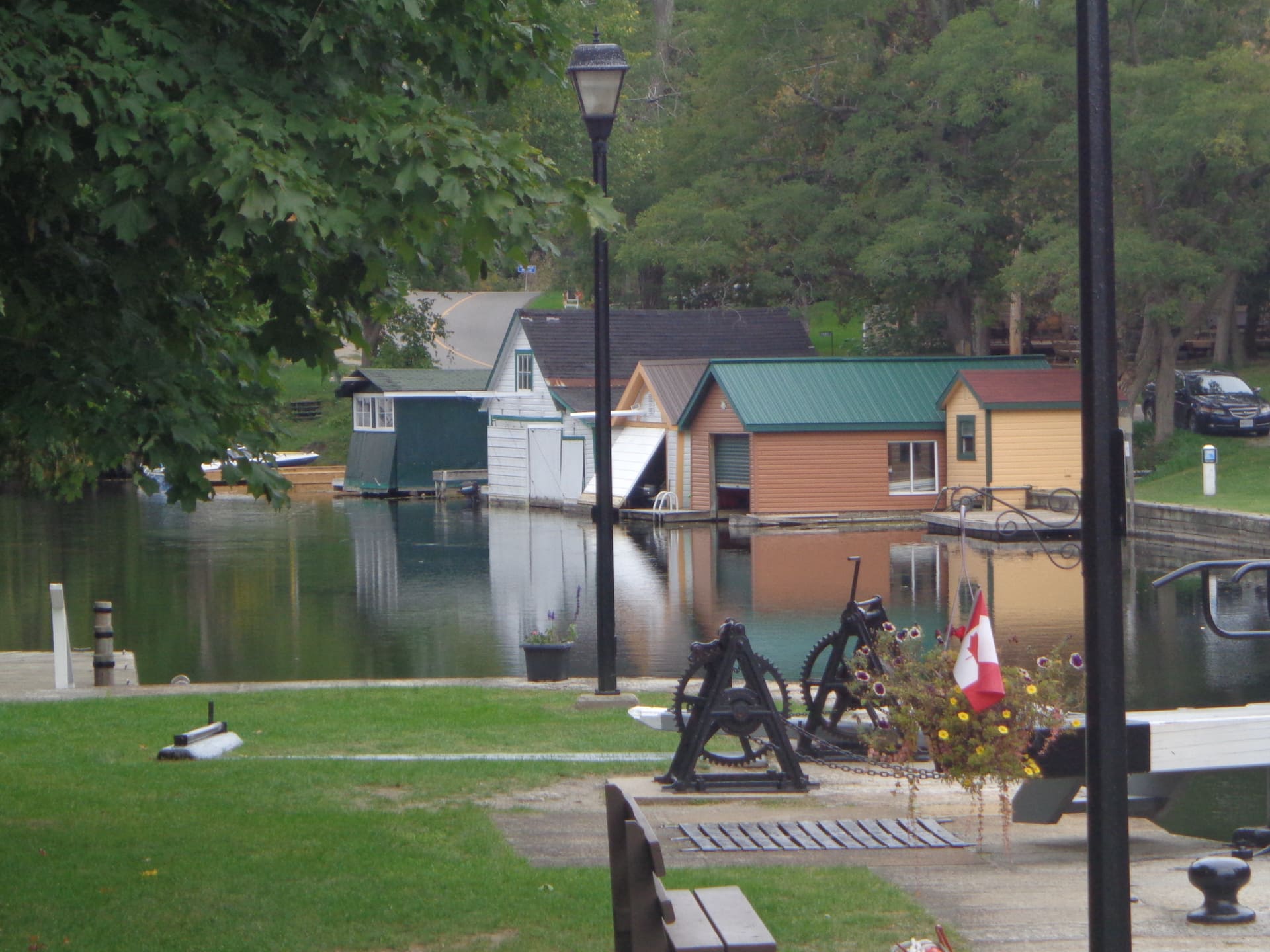
Come explore the Kingston area with Louise, who now lives there.Activities will include:
1/ Cycling on the Cataraqui Rail Trail from Perth Road to Chaffey’s Lock and back. If it’s open, we will visit the historical Opinicon Resort for their famous homemade ice cream. We will be cycling through some lovely Canadian Shield area, 20 km each way. You will need a mountain bike because there is some loose gravel on this trail.
2/ Hiking in Frontenac Provincial Park, likely from Perth Road to Flagpole Hill or the Little Slide loop. Both are rugged and stunning. The distance will be approximately 12-14 km.
3/ Cycling on the Waterfront Trail (off road), from Gananoque to Ivy Lea and back. Approx 40-50 km. After our ride, we will try to squeeze in a Thousand Islands dinner or sunset cruise. Individual participants will be expected to look after their own cruise booking and paying, but we will go as a group.
4/ Paddling a canoe or kayak on Elbow Lake, located close to Frontenac Outfitters.
5/ Hike to a spectacular lookout on Blue Mountain, with views of the Appalachian Mountains and Charleston Lake.
6/ A walking tour of downtown Kingston, perhaps one of the evening haunted tours after dinner at a local restaurant.Participants will be responsible for arranging their own accommodations and paying for any rentals and tours.
Webinar: TBTC Hiker Initiation Program
https://hikesstaging.brucetrail.org/event/webinar-tbtc-hiker-initiation-program/Sorry, the registration cut-off time for this hike has been reached.Not a member? Click here to join today!Hosting Club: Toronto
Category: TBTC Special Events
Location (Google Maps): Zoom Conference CallHike Leader(s): Juliet Williams, Martina Furrer, George Lennon, Louise Kent, Tom Swales
Distance: N/A
Description
Join experienced Toronto Bruce Trail Club Hike Leaders for an introductory Zoom conference call, the first part of our Hiker Initiation Program (H.I.P), who will discuss the ins-and-outs of hiking, the benefits of hiking, hiking the trail responsibly, appreciating biodiversity, the Bruce Trail, the Toronto Bruce Trail Club hiking program and the benefits of becoming a member. This popular program has introduced over 1000 people to hiking since its inception in 2009. This presentation is open to both members and non-members. On Saturday May 20th join us for a Bus Hike or Car Hike at Scotsdale Heritage Farm near Georgetown or an Urban Walk in High Park Toronto preceded by a workshop on hiking tips and basic survival skills. Please refer to the entries on the Hike Calendar on May 20th for details and to register for these hikes. The progam is free of charge, other than the $20 Bus Fare if you select that hike.Register for the introductory hiking information session webinar at:
https://us02web.zoom.us/webinar/register/WN_fc7gzs0DQNaKZBLT4iod6w#/registration
If you are not a current member of the Bruce Trail Conservancy just leave the membership number field blank
- 16May 16, 2023
8:00 NEW TIME Long Hike Wiley Road Short Hills
https://hikesstaging.brucetrail.org/event/800-new-time-long-hike-wiley-road-short-hills-3/Sorry, the registration cut-off time for this hike has been reached.Not a member? Click here to join today!Hosting Club: Niagara
Location (Google Maps):
Short Hills Wiley Road Entrance
Pace: Medium
Terrain: Moderate
: 10kmDescription
Explore Short Hills and the majestic side trails of Scarlett Tanager, Hemlock. Swayze Falls and Terrace. Register for each hike
Bring Poles water, snack, sunscreen and bug spray and dress for the weather
Fairmount - Siegerman Loop
https://hikesstaging.brucetrail.org/event/fairmount-siegerman-loop/Sorry, the registration cut-off time for this hike has been reached.Not a member? Click here to join today!Hosting Club: Sydenham
Category: General Hike
Location (Google Maps): Roadside parking on Sideroad 22B just east of Grey Road 7 at Km 98.3 (Map 27). We will meet at the Blue sign for the Fairmount side trail.Hike Leader(s): Fran Turner Click here to contact Hike Leader(s)
Pace: Brisk: 4 to 5 km/h
Terrain: Strenuous: Hilly with steep climbs and some poor footing., There might be muddy sections.
Distance: 14.6 kmDescription
This is a beautiful hike with scenic lookouts over the Beaver Valley. We’ll hike down the escarpment into the Beaver Valley and along the sides of two babbling brooks as we climb back up again. We’ll stop to admire beautiful Webwood Falls. The most spectacular scenery comes at the end as we enjoy panoramic vistas of the Beaver Valley from the Fairmount Side Trail. Pack a light lunch or a substantial snack as we will have a nourishment break. This hike has long steep sections and is recommended for fit hikers. If you are unable to register, please call or text the leader at 519-590-0706.9:15 Short hike - Pelham Road, Short Hills
https://hikesstaging.brucetrail.org/event/915-short-hike-pelham-road-short-hills-43/Sorry, the registration cut-off time for this hike has been reached.Not a member? Click here to join today!Hosting Club: Niagara
Location (Google Maps): Pelham Road entrance, Short Hills Provincial Park
Hike Leader(s): janet davey Click here to contact Hike Leader(s)
Pace: Medium
Terrain: Moderate
Distance: 6 kmsDescription
Hike the main and side trails in Short Hills Provincial Park. Bring hiking boots, water and bug spray.South Boyne Valley/North Mono Cliffs
https://hikesstaging.brucetrail.org/event/south-boyne-valley-north-mono-cliffs/Sorry, the registration cut-off time for this hike has been reached.Not a member? Click here to join today!Hosting Club: Dufferin Hi-Land
Category: Tuesday Hike
Location (Google Maps): Map 20, 13.3,
30th Sideroad, 1km East of #10 Hwy
Dufferin Hi-Land, south of Boyne ValleyHike Leader(s): Julie Daley, Les Babbage, Inge Eckerich, Tony Evangelista Click here to contact Hike Leader(s)
Pace: Medium
Terrain: Easy
Distance: 6km, short hike 3kmDescription
Hike will begin at roadside parking on 30th Sideroad (map 20, 13.3). We will hike south along the main trail through a mix of forests and fields to 1st Line EHS (map 19, 10.0). We will then return along the same trail. Terrain is mostly flat with a few moderate hills. Please bring water and snack.Short hike will return earlier, 3km

BTC Ecology Hike - Two for One Hike!
https://hikesstaging.brucetrail.org/event/btc-ecology-hike-two-for-one-hike/Sorry, the registration cut-off time for this hike has been reached.Not a member? Click here to join today!Hosting Club: Peninsula
Location (Google Maps): 388 Cape Chin Road North, Lion’s Head.
Hike Leader(s): Marg Glendon Click here to contact Hike Leader(s)
Pace: Leisurely, Medium
Terrain: Easy, Moderate
Distance: ~4 KM totalDescription
This is a two-part nature-themed hike with a visit to Otter Lake Nature Reserve and its neighbour, Maple Cross Nature Reserve at Cape Chin. Join Brian Popelier, BTC Ecologist as he introduces us to the wonders of Otter Lake’s Spring birding season and then guides us for a car- hike and walk at MCNRCC to learn more about current habitat restoration here.The Otter Lake property is part of a larger provincially significant wetland complex. It is comprised of a variety of wetland habitats including meadow marsh, thicket swamp, deciduous treed swamp, Graminoid fen and the properties namesake, the shallow calcareous Otter Lake. The wetlands support water loving plants and host a variety of wetland and marsh birds, fish, amphibians and reptiles. introduce you to the wonders of Otter Lake’s spring birding season.
Habitat restoration is important where human activity has degraded the natural environment. Brian will lead us on a hike and chat as we discuss the many ways the Bruce Trail Conservancy works towards protecting and restoring the ecology and sensitive lands of the Niagara Escarpment. With 523 acres of iconic Saugeen (Bruce) Peninsula landscape, a breathtaking 270-degree view of Georgian Bay, and 1.8 kilometers of the Bruce Trail’s Optimum Route, the Maple Cross Nature Reserve at Cape Chin is a natural masterpiece and a true conservation gem.
In total, this hike will take about 4 hours. Bring binoculars, insect repellent, lunch, water and snacks. Wear sunscreen, hat, and sun protective clothing. We encounter some wet spots on the hike, so wear water proof hiking boots and bring gators, if you have them.
Two Loops and Lunch in Beaver Valley
https://hikesstaging.brucetrail.org/event/two-loops-and-lunch-in-beaver-valley-3/Sorry, the registration cut-off time for this hike has been reached.Not a member? Click here to join today!Hosting Club: Caledon Hills
Category: Tuesday Hikers
Location (Google Maps): Km 13.7 on Map 24. From Shelburne, take Rd. 124 north. Turn left on Grey Rd. 4, then right on Grey Rd. 2. In Ravenna, turn right on Rd. 119, then left to dead end of 6th Line.Hike Leader(s): Barbara Euler Click here to contact Hike Leader(s)
Pace: Medium – 3 to 4 km/hour
Terrain: Moderate – some hills and/or some poor footing
Distance: 14 kmDescription
We will hike a loop using the Main Trail and the Margaret Paull Side Trail through forest and fields featuring small flowerpots formed by ancient seas and some waterfalls. Then we will drive into Ravenna where we can pick up the famous Country Market sandwiches (or bring your own lunch if you prefer). We’ll drive to the Loree Forest to have our lunch and hike a loop (some options for distance) with beautiful views over Georgian Bay. - 17May 17, 2023
Blue Mountains E2E Hike #5 in a series of 6 hikes
https://hikesstaging.brucetrail.org/event/blue-mountains-e2e-hike-5-in-a-series-of-6-hikes/Sorry, the registration cut-off time for this hike has been reached.Not a member? Click here to join today!Hosting Club: Blue Mountains
Category: Organized Hike
Location (Google Maps): Hike meets in the parking lot behind Tim Hortons on First St. in Collingwood.Hike Leader(s): Hart Fischer Click here to contact Hike Leader(s)
Pace: Medium – 3 to 4 km/hr
Terrain: Moderate – Some hills and/or some poor footing
Distance: 11.6kmDescription
We will park the cars at km 55.7 on the 2nd Line and car shuttle to km 44.5 where we will begin the hike. The trail follows the Pretty River and heads through a cedar forest. We climb steeply up and over a moraine with excellent views to the south over the Pretty River Valley. The trail leads from a mature forest to the Petun Conservation Area where lichen-encrusted granite boulders can be seen. Bring a snack or lunch and water. Don’t forget to log your hike! Map 23 Edition 30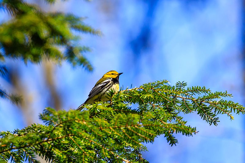
The Birds of Hemlock Ridges
https://hikesstaging.brucetrail.org/event/the-birds-of-hemlock-ridges/Sorry, the registration cut-off time for this hike has been reached.Not a member? Click here to join today!Hosting Club: Caledon Hills
Category: Nature Walks
Location (Google Maps): Hemlock Ridges – 5th Line E Mono just south of Hockley RoadHike Leader(s): Gary Hall Click here to contact Hike Leader(s)
Pace: Leisurely – 3 km/hour or less
Terrain: Moderate – some hills and/or some poor footing
Distance: 3-4 km.Description
The middle of May is an excellent time to look for migrating birds. On this walk, we will look and listen for signs of bird activity. We’ll see how many species of birds we can discover on the Hemlock Ridges Nature Reserve. Bring binoculars and a camera if you have them. Downloading the Merlin app on your cell phone will greatly enhance your enjoyment of this activity. As an added bonus, enjoy the many species of wild flowers present on Hemlock Ridges.Kemble Sidetrails
https://hikesstaging.brucetrail.org/event/kemble-sidetrails/Sorry, the registration cut-off time for this hike has been reached.Not a member? Click here to join today!Hosting Club: Sydenham
Category: General Hike
Location (Google Maps): Roadside parking at the corner of Coles and Taylor Side Roads, south of km 140.7 (Map 34)Hike Leader(s): Sheri Hatcher Click here to contact Hike Leader(s)
Pace: Medium: 3 to 4 km/h
Terrain: Moderate: Some hills and/or poor footing, There might be muddy sections.
Distance: 10 kmDescription
We will do a loop starting at the Don Richards Side Trail. We will hike the Mystery Cabin Side Trail, the Main Trail, Cedar Point Side Trail and the Kemble Wetland Side Trail (if not too wet) then head back to our vehicles. This loop hike follows crevices and passes through mature cedar and hardwood forests. If you are unable to register, please call or text Sheri Hatcher at 519-270-5068 to let her know you are coming.
9:30 Spring Blooms: Centennial Lilac & Botanical Gardens
https://hikesstaging.brucetrail.org/event/930-spring-blooms-centennial-lilac-botanical-gardens/Sorry, the registration cut-off time for this hike has been reached.Not a member? Click here to join today!Hosting Club: Niagara
Category: In and Out
Location (Google Maps): Centennial Lilac Gardens parking, 14004 Niagara River Parkway, Niagara Falls, ON; north of Floral Clock parking.Hike Leader(s): Karen Couch Click here to contact Hike Leader(s)
Pace: Medium
Terrain: Easy
Distance: 6 kmsDescription
Experience the colours and scents of this unique garden on the north side of the Floral Clock, featuring over 200 varieties. Then walk along the Niagara River Parkway to loop through the Botanical Gardens while enjoying the spring blossoms.Good Companions - Spring Valley - Ancaster
https://hikesstaging.brucetrail.org/event/good-companions-spring-valley-ancaster-2/Sorry, the registration cut-off time for this hike has been reached.Not a member? Click here to join today!Hosting Club: Iroquoia
Category: Good Companions
Location (Google Maps):Ancaster Little League Ball Park – Jerseyville Rd (across from the Ancaster Lions Outdoor Pool) – See map below
Hike Leader(s): Ted Bossence Click here to contact Hike Leader(s)
Pace: Medium – 3 to 4 km/hr
Terrain: Dependent on Conditions, Strenuous – Hilly with steep climbs and some poor footing
Distance: 8 – 10 km depending on whether we follow the Headwaters Trail to the end or notDescription
We will follow the Spring Valley Trail, Martins Road, Headwaters Trail etc. in the western part of the Dundas Valley . Bring sunscreen, bug repellant, water and a snack (poles would also be useful). If I cancel due to rain I will notify you by email no later than the night before, so please check your emails before you leave for the hike. Please arrive a few minutes before the 10:00am time since I will be leaving promptly at 10:00.If you need to cancel after the 4:00pm cut-off time, please inform me by email the day before the hike at tedbossence@sympatico.ca , or by text at (905) 334-8752 the morning of the hike.
10:00 GARLIC MUSTARD HIKE - HELP US FILL THE CRIB!
https://hikesstaging.brucetrail.org/event/1000-garlic-mustard-hike-help-us-fill-the-crib-5/Sorry, the registration cut-off time for this hike has been reached.Not a member? Click here to join today!Hosting Club: Niagara
Category: Leisurely
Location (Google Maps):We will meet at gravel parking lot on Park Road South, Grimsby just down the hill from Ridge Road.
Hike Leader(s): Alicia Aitchison Click here to contact Hike Leader(s)
Pace: Leisurely
Terrain: Easy
Distance: ~4 kmDescription
GARLIC MUSTARD HIKES – Join us & HELP US FILL THE CRIB! We will hike in from Ridge Road – picking the invasive garlic mustard & greater celandine along the trail side along the way – bring a bag to fill (reusable grocery bag or garbage bag work well). Once we hike into the crib location we will dump our bags into the crib and pick garlic mustard in that area for a while & then hike back out. There are lots of spring ephemerals along the way to admire – mayapples, trout lilies, wild ginger and many others – reducing the invasive species will give these natives a chance to thrive!Long sleeves are recommended & don’t forget your work gloves.
If parking fills up at the bottom of the hill there is room for a couple of cars to park at the trail head at Ridge Road.
- 18May 18, 2023
8:00 am Long Hike Jordan to Moyer / Louth NEW TIME
https://hikesstaging.brucetrail.org/event/800-am-long-hike-jordan-to-moyer-louth-new-time-3/Sorry, the registration cut-off time for this hike has been reached.Not a member? Click here to join today!Hosting Club: Niagara
Location (Google Maps):
Jordan Hollow Park 3039 King St Jordan
Pace: Medium
Terrain: Moderate
: 10kDescription
From Jordan Hollow Hike the main trail to Upper and Lower Balls Falls, Moyer Road or Louth and Return. You must register for each hike. Bring Poles, sunscreen, bug spray , snack and a drink ices and dress for the weather
9:15 Short hike - Jordan Hollow
https://hikesstaging.brucetrail.org/event/915-short-hike-jordan-hollow-57/Sorry, the registration cut-off time for this hike has been reached.Not a member? Click here to join today!Hosting Club: Niagara
Location (Google Maps): Jordan Hollow Park
Hike Leader(s): Bill Russell Click here to contact Hike Leader(s)
Pace: Medium
Terrain: Strenuous
Distance: 6 kmsDescription
Hike the main trail and side trails around Jordan and Balls Falls. Bring hiking boots, water and bug spray.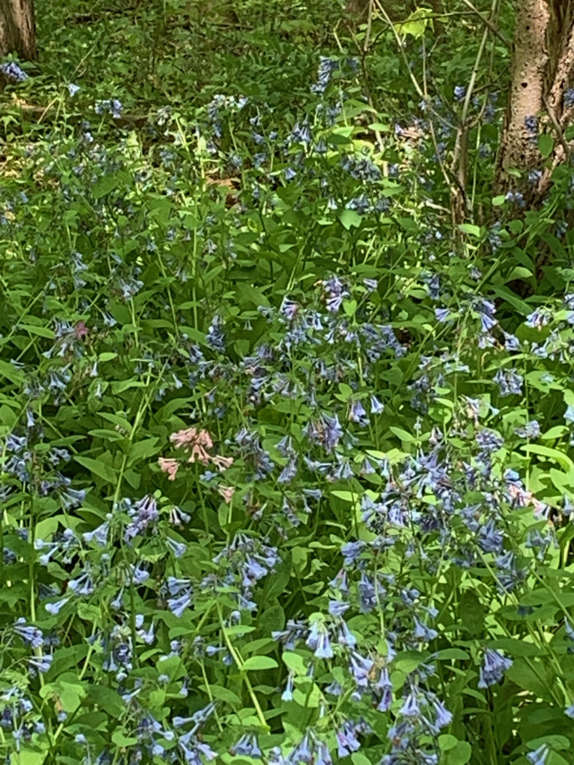
Annual Bluebell Walk
https://hikesstaging.brucetrail.org/event/annual-bluebell-walk/Sorry, the registration cut-off time for this hike has been reached.Not a member? Click here to join today!Hosting Club: Iroquoia
Category: Thursday Group
Location (Google Maps): Sixteen Mile Creek Valley, OakvilleHike Leader(s): Anne Armstrong Click here to contact Hike Leader(s)
Pace: Leisurely – 3km/hr or less
Terrain: Moderate – Some hills and/or some poor footing
Distance: Approx. 9 km.Description
Not only is the Sixteen Mile Creek Valley rich in history, it is rich in flora, especially in the Spring and Summer months. Although our main objective today is to find the gorgeous Bluebells which grow here, we will be on the lookout for other species as well. Please meet in the parking lot next to the baseball fields on the south east corner of Neyagawa Blvd. and River Glen Blvd. at 9:45 am. for a 10:00 am. start. Sixteen Mile Creek valley is an oasis in the centre of Oakville. Bring water, a snack, sunscreen and insect repellent and poles if using.
Leader: Anne Armstrong 905 617 2927
Toronto, Toronto Islands
https://hikesstaging.brucetrail.org/event/toronto-toronto-islands-15/Sorry, the registration cut-off time for this hike has been reached.Not a member? Click here to join today!Hosting Club: Toronto
Location (Google Maps): Meet inside the Jack Layton Ferry Terminal, foot of Bay Street, beyond the cashiers selling the ferry tickets, in the open area with the benches and Muskoka chairs. From Union Station take the LRT one stop to “Ferry Docks” or take bus number #19 or #72 on Bay Street southbound to the Queens Quay. Walk across Queen Quay south through the park to the ferry terminal.
Hike Leader(s): Miriam Stevens, Tom Swales Click here to contact Hike Leader(s)
Pace: Leisurely
Terrain: Flat
Distance: 8-12 kmDescription
After a day’s work, come and “cool off” on the Toronto Islands free of fumes and traffic to enjoy the view of the city skyline and Toronto’s own beautiful island parkland oasis away from the city. Pack a dinner for a sit-down picnic. Note that food is not available for purchase on the islands early in the season. Bring a warm jacket and flashlight. Return ticket for the ferry is approximately $8.70, $5.60 for seniors. The hike will take place rain or shine. Toronto Island Evening Hikes will take place every Thursday in May and June, same time and meeting place. The route and time we return to the city may vary depending if the ferries are running on the Spring or Summer (starts in May) schedule. Contact Hike Leaders via the Contact form for further information or to confirm the current ferry schedule that will be in place the week of the hike. Registration is not required for this hike – just meet the Hike Leader at the above location.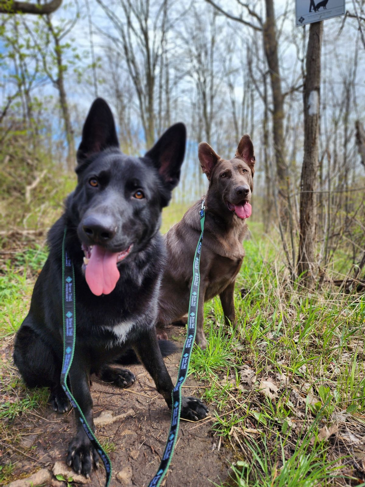
CANCELLED - Hamilton Waterfront Dog Walk
https://hikesstaging.brucetrail.org/event/hamilton-waterfront-dog-walk/Sorry, the registration cut-off time for this hike has been reached.Not a member? Click here to join today!Hosting Club: Iroquoia
Category: General Hike
Location (Google Maps): Bayfront Park, 200 Harbour Front Drive HamiltonHike Leader(s): Bronwen Tregunno Click here to contact Hike Leader(s)
Pace: Leisurely – 3km/hr or less
Terrain: Easy – Mostly flat and usually good footing
Distance: 7 kmDescription
Cancelled. We will have other dog walks so keep an eye out! Many of us love to exercise with our ‘best friends’ along trails and pathways! Join Kathrin Konig, PR Director of Iroquoia Bruce Trail Club and dedicated dog ‘owner’, as she shares dog walking safety tips and trail etiquette. We’ll walk along a section of the popular Waterfront Trail starting at Bayfront Park and walking to Princess Point and back and perhaps do the loop at Bayfront as well. This is a wide paved path that we’ll be sharing it with cyclists, rollerbladers and other walkers and 4 legged friends. Kathrin has walked many sections of the Bruce Trail and area with her two pals Jethro and Juniper but she will bring only one to this walk. We are limiting this walk to 10 participants and request that you bring only one dog with you. NOTE: Dogs mush be leashed at ALL times. Please have a 6 foot leash and not the long retractable leashes that can be dangerous for cyclists and pedestrians. Please make sure your dog is well behaved, doesn’t jump on or threaten other participants and doesn’t constantly bark. We want to be able to chat with each other and hear Kathrin! Also bring ‘scoop’ bags. As always bring snacks, water and personal first aid for you and your pet. Be prepared for biting insects like ticks. More information is at https://conservationhamilton.ca/ticks-and-lyme-disease/ If you have a ‘human’ friend or partner that wants to come, please email me and I will add them on my list brontreg@cogeco.ca Questions can be sent via text 905-334-4013. You may also contact Kathrin for dog etiquette/safety questions at kathrinkoniga@gmail.com