
Hike Schedule
Join us for a hike! Registration required:
All hikes available to BTC members. Some hikes are open to non-members.
TIP: The calendar view displays up to 7 hikes on a day, but often there are more. Click “More events” to see them all.
Categories
- 23October 23, 2023
Dufferin Hi-Land 3 of 3
https://hikesstaging.brucetrail.org/event/dufferin-hi-land-3-of-3/Sorry, the registration cut-off time for this hike has been reached.Not a member? Click here to join today!Hike open to BTC Members only.
Hosting Club: Niagara
Category: Car Pool
Location (Google Maps): Meet at Mono Centre, off 2nd Line EHS, south of Reg Rd. 8 and carpool to km 20.5 on 1st Line E. south of 5 Sideroad.Hike Leader(s): Lauren Doig Click here to contact Hike Leader(s)
Pace: Brisk
Terrain: Moderate
Distance: 20Description
- 24October 24, 2023
8:00 Long Hike Wiley Road Short Hills
https://hikesstaging.brucetrail.org/event/800-long-hike-wiley-road-short-hills-37/Sorry, the registration cut-off time for this hike has been reached.Not a member? Click here to join today!Hosting Club: Niagara
Location (Google Maps):
Short Hills Wiley Road Entrance
Pace: Medium
Terrain: Moderate
: 10kmDescription
Explore Short Hills and the majestic side trails of Scarlett Tanager, Hemlock. Swayze Falls and Terrace. Register for each hike
Bring Poles water, snack, sunscreen and bug spray and dress for the weather
Skinner’s Bluff and Bruce’s Caves
https://hikesstaging.brucetrail.org/event/skinners-bluff-and-bruces-caves-2/Sorry, the registration cut-off time for this hike has been reached.Not a member? Click here to join today!Hosting Club: Sydenham
Category: General Hike
Location (Google Maps): The Owen Sound Galaxy Theatre parking lot. Meet at the tall “Galaxy Centre” sign next to the traffic lights.Hike Leader(s): Maureen McFarland Click here to contact Hike Leader(s)
Pace: Medium: 3 to 4 km/h
Terrain: Moderate: Some hills and/or poor footing, Strenuous: Hilly with steep climbs and some poor footing.
Distance: 14 kmsDescription
We will carpool to the start of the Len Holley Side Trail. We hike the Len Holley Side Trail to the Skinners Woods Side Trail then follow the Skinners Woods Side Trail to the main trail. We then hike west along the escarpment edge to the Bruce’s Caves Access Trail. We follow the Bruce’s Caves Side Trail down to the caves, then continue east to the new Colpoy’s Cavern Side Trail. The Colpoy’s Cavern Side Trail involves climbing around big part way up the escarpment. If you like this sort of thing, it is a of fun, but it is optional. Those who wish to skip it, can wait at the picnic area at Bruce’s Caves where will stop for an early lunch or snack. We return via the Bruce’s Caves Access Trail to the main trail, then take the Curly Harnden Side Trail back to the cars. There are beautiful view from the top of the escarpment overlooking Colpoy’s Bay. Bring a lunch. Map 359:15 Short Hike - Pelham Road, Short Hills
https://hikesstaging.brucetrail.org/event/915-short-hike-pelham-road-short-hills-65/Sorry, the registration cut-off time for this hike has been reached.Not a member? Click here to join today!Hosting Club: Niagara
Location (Google Maps): Pelham Road entrance, Short Hills Provincial Park
Hike Leader(s): janet davey Click here to contact Hike Leader(s)
Pace: Medium
Terrain: Moderate
Distance: 6 kmsDescription
Hike the main and side trails of Short Hills Provincial Park. Bring water.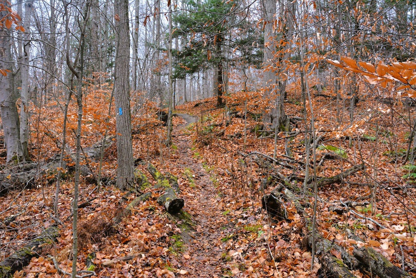
Hockley Valley Nature Reserve
https://hikesstaging.brucetrail.org/event/hockley-valley-nature-reserve-2/Sorry, the registration cut-off time for this hike has been reached.Not a member? Click here to join today!Hosting Club: Dufferin Hi-Land
Category: Tuesday Hike
Location (Google Maps): (Google Maps)Caledon Hills Section, Map 18. Meet at the parking area on 3rd Line EHS about 2 km north of Hockley Rd. for a 9:30 am start.Hike Leader(s): Tony Evangelista, Les Babbage, Inge Eckerich, Julie Daley Click here to contact Hike Leader(s)
Pace: Medium
Terrain: Moderate, Slippery and Steep Sections
Distance: Long Hike 7.5 km Short Hike 4 kmDescription
We will experience the wonderful fall colour burst at its peak as we travel the Isabel East Side Trail, the Main Trail, The Cam Snell Side Trail, and the Glen Cross Side Trail.The short hike will comprise the Isabel East Side Trail, and the Main Trail returning to the parking area by the Glen Cross Side Trail.
Bring water and snacks. Hiking poles are recommended.
Optional refreshment stop after the hike at The Hockley General Store in the village of Hockley.

Sydenham Chipper (km128.4-km115.5)
https://hikesstaging.brucetrail.org/event/sydenham-chipper-km128-4-km115-5/Sorry, the registration cut-off time for this hike has been reached.Not a member? Click here to join today!Hosting Club: Beaver Valley
Location (Google Maps): Bruce Trail parking area on Lindenwood Rd.
Map 33 ED 30
Km 128.4Hike Leader(s): Kristina Rettie Click here to contact the hike leader.
Pace: Brisk
Terrain: Some rocky footing, Some steep sections, Strenuous
Length of Hike: 12.9kmDescription
Please join us as we chip away through the Sydenham section. This will be a series of 11 hikes that range between 13-19kms with one longer hike of 24km. We will begin our journey at the northern end of Sydenham and work our way south to try and avoid the dangers the falling leaves and snow will bring.If you complete the 11 hikes in this series you will qualify for Sydenham’s new independent badge. Please keep track of your hikes as each hiker will be submitting their own badge request.
All hikes in this series will include a car shuttle and everyone will take a turn as a shuttle driver. Please have your vehicle passenger ready.
Oct 24 hike – meet@km128.4 carpool to 115.5
If you have any questions please text me @ 519-410-9077 (this is the most efficient way)
Please bring plenty of water and snacks/lunch
No dogs
Please text Kristina @ 519-410-9077 for morning of cancelations
COVID-19 Precautions Before, During and After your Hike
- Each hiker joining a Bruce Trail Club organized hike must perform a self-screening check before hiking.
Find Ontario’s self-assessment tool here: https://covid-19.ontario.ca/self-assessment/ - If you are experiencing COVID-19 symptoms, stay home.
Transportation
It is the Bruce Trail Conservancy’s current policy that car shuttles are allowed. It is at the discrepancy of individual hike leaders to make that decision.
Other Guidelines
- Arrive 15 minutes before the start of the hike.
- Wear sturdy footwear and appropriate attire for the weather and the terrain.
Hiking poles are a good idea in any season, especially if the terrain is rocky or slippery. In winter, snowshoes or icers/crampons are needed when conditions dictate.
Wearing appropriate clothing and footwear prevents injuries and shows consideration for a safe and positive group hiking experience. - Always carry I.D. and your health card.
- Bring sufficient water and snacks (or lunch if indicated). A minimum of 1L of water is recommended on all hikes, and 3L is recommended for long, challenging hikes in the heat of the summer.
- Bring sunscreen and insect repellent (for spring and summer hikes).
- Bring your own first aid kit.
- Please leave dogs at home.
Dufferin - Honeywood reroute, Black Bank
https://hikesstaging.brucetrail.org/event/dufferin-honeywood-reroute-black-bank/Sorry, the registration cut-off time for this hike has been reached.Not a member? Click here to join today!Hosting Club: Caledon Hills
Category: Car Hike
Location (Google Maps): Meet at the BTC parking lot at Map 21 km 53.1. Take Hwy 10 north and turn left at Primrose. In 4 km turn right on Road 124. Follow for 15 km to Road 21 (Honeywood) and turn right. In 5 km turn left onto Centre Road. Follow Centre Rd for 4 km to 30 Sideroad. Turn right at 30 Sideroad and go 1.5 km to parking lot at 1st Line EHS. Leader’s phone no. 905-301-4091.Hike Leader(s): Peter Leeney Click here to contact Hike Leader(s)
Pace: Moderate
Terrain: Hilly, Rocky
Distance: 11 kmDescription
We will do a car shuffle south to Sideroad 20 and hike back through scenic terrain with striking views to the north-east. - Each hiker joining a Bruce Trail Club organized hike must perform a self-screening check before hiking.
- 25October 25, 2023

Dufferin Hi-Land End to End in Six Hikes - Fundraiser Hike for the new stained glass badge
https://hikesstaging.brucetrail.org/event/dufferin-hi-land-end-to-end-in-six-hikes-fundraiser-hike-for-the-new-stained-glass-badge/Sorry, the registration cut-off time for this hike has been reached.Not a member? Click here to join today!This is a Multi-Day Hike
You are signing up for the following dates:
2023-10-25, 2023-10-26, 2023-10-27, 2023-10-28, 2023-10-29, 2023-10-30Hosting Club: Iroquoia, Dufferin Hi-Land
Category: General Hike
Location (Google Maps): Mono Community CentreHike Leader(s): Ruth Moffatt Click here to contact Hike Leader(s)
Pace: Leisurely – 3km/hr or less, Medium – 3 to 4 km/hr
Terrain: Easy – Mostly flat and usually good footing, Moderate – Some hills and/or some poor footing, Strenuous – Hilly with steep climbs and some poor footing
Distance: Approx 10km per day over 6 concurrent daysDescription
Please join hike leaders Les Babbage from Dufferin Hi-Land Club and Ruth Moffatt from Iroquoia Club for this special event, six day, end to end, group hike of the Dufferin Hi-Land Club for the newest and latest stained-glass-designed badge.
This is a leisurely to medium paced hike for up to 15 people. 3-4km an hour; about 10km per day. We should finish by about noon each day and will take time to enjoy the flora and fauna of this section, perhaps even enjoy the fall colours.
Please meet at Mono Community Centre by at least 8:45am on October 25/23, our first day. A hiking schedule will be emailed to all who are registered prior to our start date.
Please bring enough water and snacks for each hike as well as any other necessities you may need. First aid kit, camera, rain gear if it’s forecast, etc. Since this is a group hike, please prepare to attend each day for this special badge and participate in the car shuttles. Your fee will include the new yellow lady slipper orchid stained glass badge designed by Joe Borges. If your schedule does not permit attending each day and you have to miss one day, you can make this day up another time and still qualify for this badge. If you have to miss more than one day, you can still make the days up and qualify for the regular Dufferin ETE trillium badge.Badges will be presented on our last day.
Please, no dogs.
Duncan Crevice - Pinnacle Rock
https://hikesstaging.brucetrail.org/event/duncan-crevice-pinnacle-rock/Sorry, the registration cut-off time for this hike has been reached.Not a member? Click here to join today!Hosting Club: Blue Mountains
Category: Register in person the morning of hike.
Location (Google Maps): Hike meets in the parking lot behind Tim Hortons on First St. in Collingwood.Hike Leader(s): Frank Huggins Click here to contact Hike Leader(s)
Pace: Brisk – 4 to 5 km/hr, Fast – 5+ km/hr
Terrain: Moderate – Some hills and/or some poor footing
Distance: 11kmDescription
We will carpool to Duncan parking lot on 9th Sideroad at km 33.3 in the Beaver Valley section. This is a loop hike and we will get fine views from Pinnacle Rock and Metcalfe Rock. We will hike first along the white blazed trail and then along the Chuck Grant Sidetrail, eventually returning to the parking lot via the white blazed trail. Bring water and lunch. Please note: the PACE is Brisk-Fast, ensure you are able to maintain this pace. This hike is not for Leisurely hikers.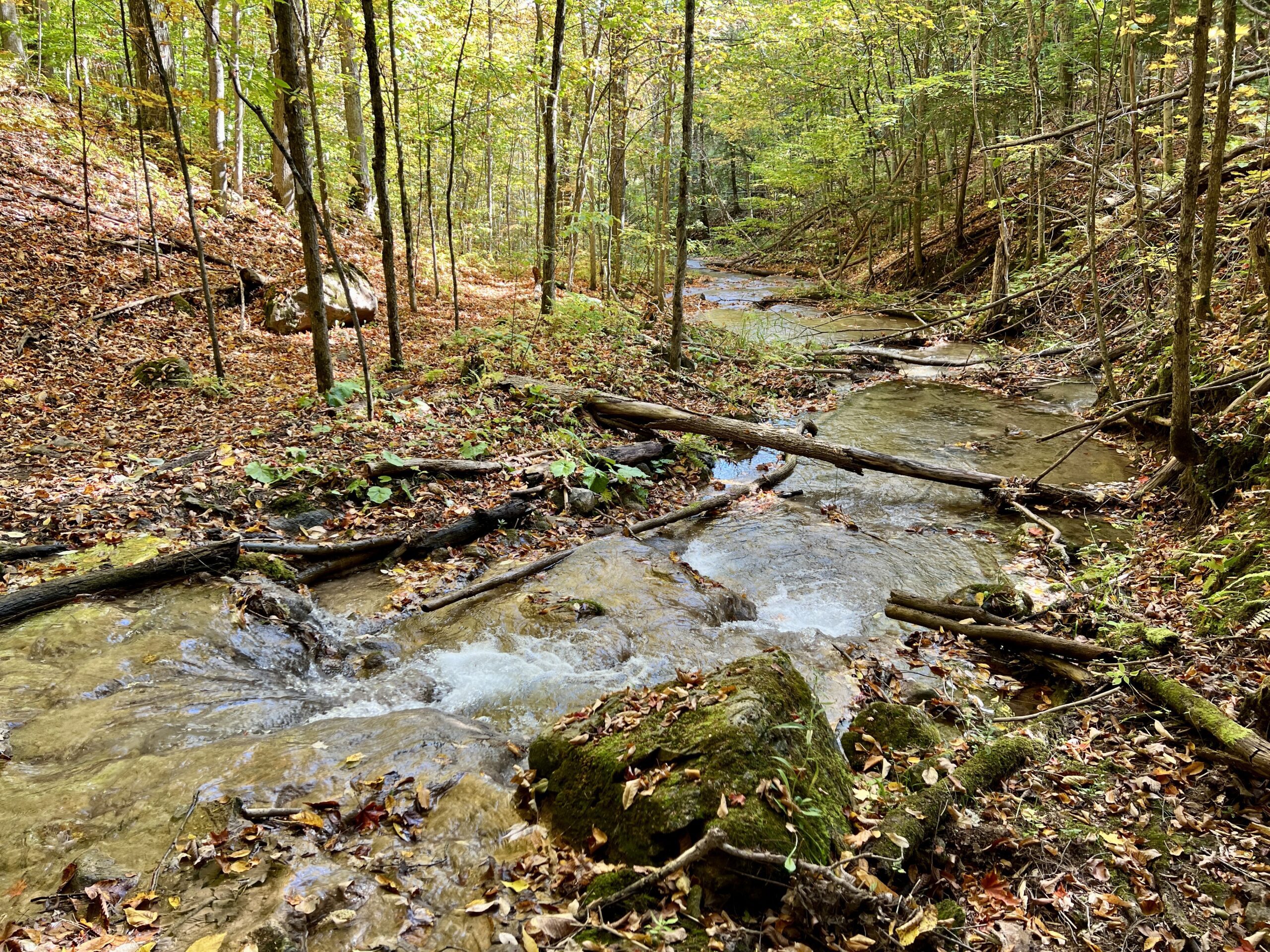
WEDNESDAY WALKERS - Kimberley Forest
https://hikesstaging.brucetrail.org/event/wednesday-walkers-kimberley-forest/Sorry, the registration cut-off time for this hike has been reached.Not a member? Click here to join today!Hosting Club: Beaver Valley
Location (Google Maps): Park in the lower parking lot of the Beaver Valley Ski Club, near the Valley Crossover Side Trail. From there, a few vehicles will be needed to shuttle to our starting point on Sideroad 7A.
Hike Leader(s): Margaret Yaraskavitch Click here to contact the hike leader.
Pace: Medium
Terrain: Moderate
Length of Hike: 5 kmDescription
After shuttling to Sideroad 7A, our hike begins as we walk through the BTC’s Kimberley Springs Nature Reserve, which includes beautiful Bill’s Creek. We also see the Stone Foundation Side Trail. After returning to the Main Trail, we then take the Kimberley Forest Side Trail. The Kimberley Forest is a beautiful multi-use and multi-trail area. Much of the walk is downhill as it finishes at the base of Beaver Valley Ski Club. - 26October 26, 2023
8:00 am Long Hike Jordan to Moyer / Louth
https://hikesstaging.brucetrail.org/event/800-am-long-hike-jordan-to-moyer-louth-64/Sorry, the registration cut-off time for this hike has been reached.Not a member? Click here to join today!Hosting Club: Niagara
Location (Google Maps):
Jordan Hollow Park 3039 King St Jordan
Pace: Medium
Terrain: Moderate
: 10kDescription
From Jordan Hollow Hike the main trail to Upper and Lower Balls Falls, Moyer Road or Louth and Return. You must register for each hike. Bring Poles, sunscreen, bug spray , snack and a drink and dress for the weather
9:15 Short Hike - Jordan Hollow
https://hikesstaging.brucetrail.org/event/915-short-hike-jordan-hollow-80/Sorry, the registration cut-off time for this hike has been reached.Not a member? Click here to join today!Hosting Club: Niagara
Location (Google Maps): Jordan Hollow Park, Jordan Station
Hike Leader(s): Bill Russell Click here to contact Hike Leader(s)
Pace: Medium
Terrain: Strenuous
Distance: 6 kmsDescription
Hike the main and side trails around Jordan Hollow and Ball’s Falls. Bring water and hiking boots.Iroquoia End-to-End Hike 8 of 10
https://hikesstaging.brucetrail.org/event/iroquoia-end-to-end-hike-8-of-10/Sorry, the registration cut-off time for this hike has been reached.Not a member? Click here to join today!Hosting Club: Caledon Hills
Category: End-to-End
Location (Google Maps): Meet at Greenhill Ave. at Cortina Cres., km 28.7. Shuttle to start at Scenic Dr.Hike Leader(s): Nancy Mooney Click here to contact Hike Leader(s)
Pace: Medium – 3 to 4 km/hour
Terrain: Moderate – some hills and/or some poor footing, Strenuous – hilly with steep climbs and some poor footing
Distance: From 40.5 to 28.7, 11.8 km Map 7.Description
This is the eighth hike of ten and the trail begins along the Chedoke Radial Trail through Chedoke Park. It then goes through the woods to the Dundurn steps, the James St. steps, along “the Mountain”, down the Wentworth Steps, across a railway bridge before returning to vehicles.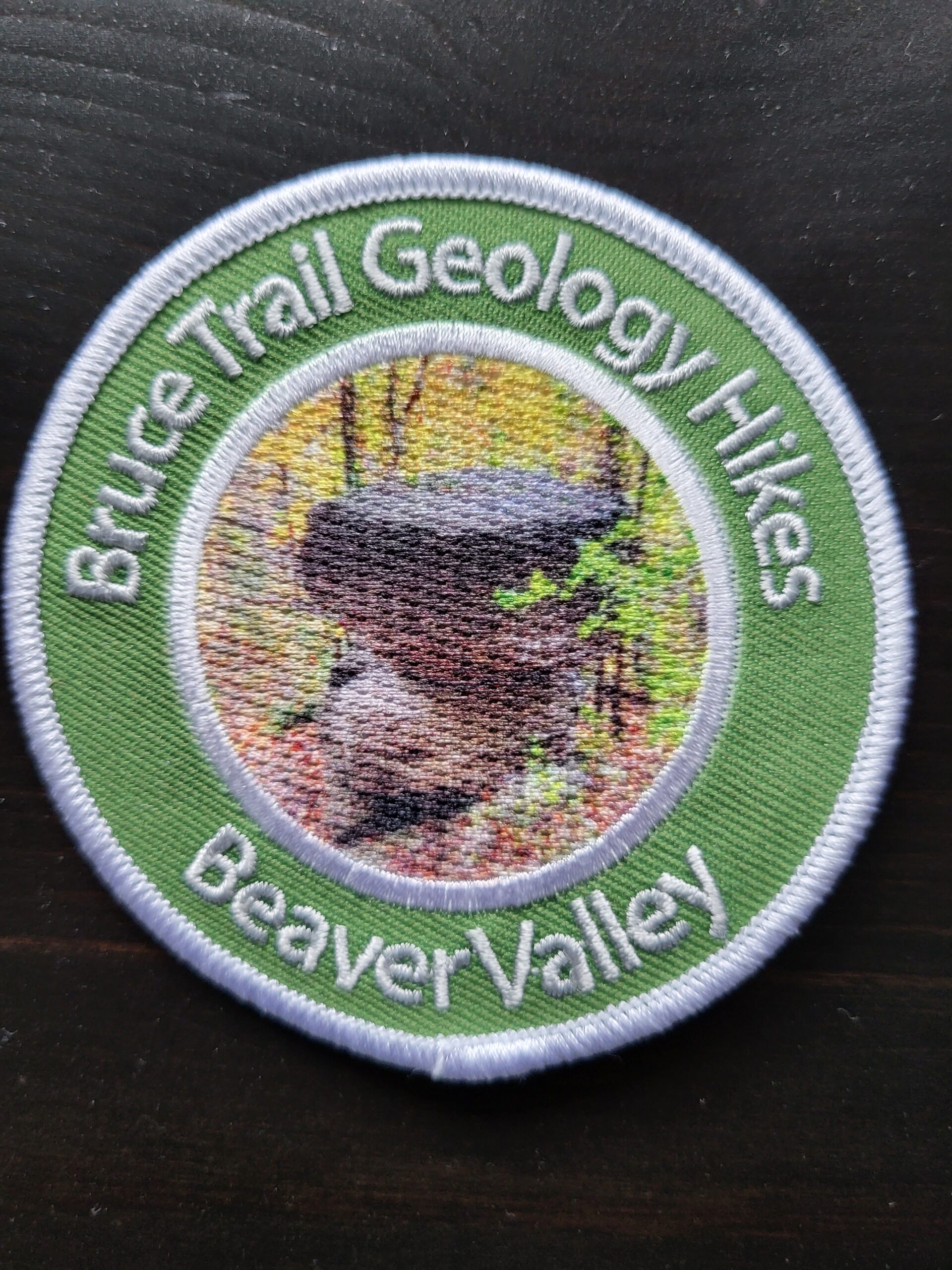
New Badge! Beaver Valley Geology Hike #6
https://hikesstaging.brucetrail.org/event/new-badge-beaver-valley-geology-hike-6/Sorry, the registration cut-off time for this hike has been reached.Not a member? Click here to join today!Hosting Club: Beaver Valley
Location (Google Maps): Meet in the Beaver Valley Ski Club lower parking lot, on the Valley Crossover side Trail to shuttle to sideroad 13A, km 85.0
Hike Leader(s): Glenda Collings Click here to contact the hike leader.
Pace: Medium
Terrain: Moderate, Some rocky footing, Some steep sections, Strenuous
Length of Hike: Approx. 13.5 kmDescription
This is a series of 7 hikes to earn the Beaver Valley Geology badge. We will use the criteria listed in Beth Gilhespy’s book, Walking Through Time, Exploring Niagara Escarpment Geology in the Beaver Valley Bruce Trail Section. We’ll boost our knowledge of the local geology along the way as we take the required photos. Hikers are welcome to join any or all of the hikes, however, they must complete all 7 hikes to earn the badge. Bring sufficient water and snacks.Hike Five: Wodehouse Karst – Southern & Northern Route
COVID-19 Precautions Before, During and After your Hike
- Each hiker joining a Bruce Trail Club organized hike must perform a self-screening check before hiking.
Find Ontario’s self-assessment tool here: https://covid-19.ontario.ca/self-assessment/ - If you are experiencing COVID-19 symptoms, stay home.
- Personal Protective Equipment:
- Hikers may choose to wear masks
Transportation
It is the Bruce Trail Conservancy’s current policy that car shuttles are allowed. It is at the discrepancy of individual hike leaders to make that decision.
Other Guidelines
- Arrive 15 minutes before the start of the hike.
- Wear sturdy footwear and appropriate attire for the weather and the terrain.
Hiking poles are a good idea in any season, especially if the terrain is rocky or slippery. In winter, snowshoes or icers/crampons are needed when conditions dictate.
Wearing appropriate clothing and footwear prevents injuries and shows consideration for a safe and positive group hiking experience. - Always carry I.D. and your health card.
- Bring sufficient water and snacks (or lunch if indicated). A minimum of 1L of water is recommended on all hikes, and 3L is recommended for long, challenging hikes in the heat of the summer.
- Bring sunscreen and insect repellent (for spring and summer hikes).
- Bring your own first aid kit.
- Please leave dogs at home.

Easy Does It on the Sixteen
https://hikesstaging.brucetrail.org/event/easy-does-it-on-the-sixteen/Sorry, the registration cut-off time for this hike has been reached.Not a member? Click here to join today!Hosting Club: Iroquoia
Category: Easy Does It Hikes
Location (Google Maps): Oakville – Southeast Corner of River Glen Blvd. and Neyagawa Blvd.Hike Leader(s): Anne Armstrong Click here to contact Hike Leader(s)
Pace: Leisurely – 3km/hr or less
Terrain: Easy – Mostly flat and usually good footing
Distance: Approx. 9 km.Description
Please join us for a hike in this jewel of a valley, rich in history and natural features. Mostly flat with easy footing there are two hills to descend and ascend. Meet in the southeast parking lot at the intersection of River Glen and Neyagawa Blvd. at 9:45 am. for a 10:00 am. start. Bring a snack and water. Leader: Anne Armstrong 905 617 3937 hikingrandma@gmail.com - Each hiker joining a Bruce Trail Club organized hike must perform a self-screening check before hiking.