
Hike Schedule
Join us for a hike! Registration required:
All hikes available to BTC members. Some hikes are open to non-members.
TIP: The calendar view displays up to 7 hikes on a day, but often there are more. Click “More events” to see them all.
Categories
- 22October 22, 2023
Whippoorwill Bay to Cape Chin South
https://hikesstaging.brucetrail.org/event/whippoorwill-bay-to-cape-chin-south/Sorry, the registration cut-off time for this hike has been reached.Not a member? Click here to join today!Hike open to BTC Members only.
Hosting Club: Dufferin Hi-Land
Category: General Hike
Location (Google Maps): North side of the curved shoulder of Cape Chin South Road. km 99.3 BTC Map 39. GPS coordinates and address only approximate.Hike Leader(s): Stuart Law Click here to contact Hike Leader(s)
Pace: Medium
Terrain: Dependent on Conditions, Slippery and Steep Sections, Slippery Sections Likely, Strenuous
Distance: 12 kms.Description
Join us for this series of Peninsula shuttle hikes from Jackson’s Cove to Cape Chin South on the Bruce Peninsula. The terrain is as demanding as it gets but stunning. Hikes range from 12 to 19.5 km. See individual hike descriptions for details. Please be ready for slippery rocks, cliff tops, poison ivy, bugs and ticks. Hiking boots and poles mandatory. Lots of climbing, some mud and a lot of laughs. Please arrive 15 minutes ahead of time because our departure times are firm. Please bring your own first aid kit with moleskin, 2.5L water, lunch, snack and a change of footwear and a garbage bag (for the shuttle). Please be prepared to use your vehicle for the shuttle. No dogs and no dropouts. Km references are to 31st Edition Bruce Trail Reference.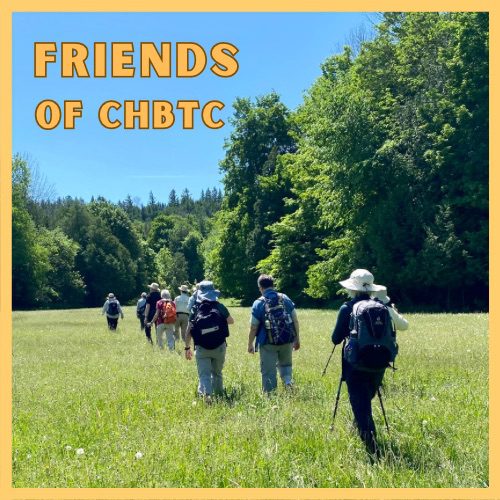
Just For Fun - Friends of CHBTC
https://hikesstaging.brucetrail.org/event/just-for-fun-friends-of-chbtc/Sorry, the registration cut-off time for this hike has been reached.Not a member? Click here to join today!Hosting Club: Caledon Hills
Category: General
Location (Google Maps): Meet at the Hockley Road Parking Lot: Located on the north side of Hockley Road at the Hockley Road Side Trail. Google Map Coordinates: 43.972857, -80.056330
Directions: From ON-10, turn east onto Hockley Road/Dufferin County Road 7. Drive for 5 kilometres. The parking lot is on the lefthand side.Hike Leader(s): Sandy Green and Roopa Dindigal Click here to contact Hike Leader(s)
Pace: Medium – 3 to 4 km/hour
Terrain: Moderate – some hills and/or some poor footing
Distance: 11.5 kmDescription
Plan to enjoy the fall colours and explore a section of the Hockley Valley Provincial Nature Reserve. Our route will take us along the Hockley Road Side Trail, sections of the main Trail, and the Glen Cross, Isabel East, and Tom East Side Trails. Bring your choice of hydration and snacks. Sturdy footwear is highly recommended.Fall Colours in Toronto Parks & Ravines: High Park
https://hikesstaging.brucetrail.org/event/fall-colours-in-toronto-parks-ravines-high-park/Sorry, the registration cut-off time for this hike has been reached.Not a member? Click here to join today!Hosting Club: Toronto
Category: Urban Walk
Location (Google Maps): High Park – Meet in front of the Nature CentreHike Leader(s): Sajedeh Zahraei Click here to contact Hike Leader(s)
Pace: Leisurely, Moderate
Terrain: Flat
Distance: 5.1 KMDescription
This is the last walk in a 4 part series of fall colour walks in Toronto Parks and Ravines. Come enjoy a walk in beautiful High Park! We will start at the Nature Centre and do a loop around the park exploring different habitats and gardens within the park and discussing different nature initiatives led by the Nature Centre. Wear comfortable shoes, bring water, snacks, and lunch.
Car Hike: Promenading plus Pumpkin-picking
https://hikesstaging.brucetrail.org/event/car-hike-promenading-and-pumpkin-picking/Sorry, the registration cut-off time for this hike has been reached.Not a member? Click here to join today!Hosting Club: Toronto
Category: Car Hike
Location (Google Maps): We will meet at the Artaban Road parking lot of the Dundas Valley Conservation Area – coordinates are 43.240974, -79.975582. (Map 8 of the Bruce Trail Reference Guide, Edition 30).Hike Leader(s): Monica Pasquali Click here to contact Hike Leader(s)
Pace: Leisurely
Terrain: Variable
Distance: 5 kmDescription
Enjoy two terrific things in one day: promenading along the beautiful trails within the Dundas Valley Conservation Area followed by a visit to Dyment’s Glen Drummond Farm for lunch and to pick out the perfect pumpkin for Halloween! First we’ll do a loop hike that incorporates Artaban Road Side Trail, Canterbury Falls Side Trail, and the main Bruce Trail within the Dundas Valley Conservation Area, stopping to admire a couple of waterfalls along the way. After returning to our cars, those who would like to join me in extending their day of fun will make the 15-minute drive to reach Dyment’s Glen Drummond Farm for their annual “Pumpkin Patch Festival.” Before departing the farm, you might also want to purchase some delicious baked goods to enjoy at home.Children under 13 years of age are encouraged to join their parents/guardians on this hike so they can fulfill the requirements for the Iroquoia Bruce Trail Club’s Fall Junior Hiker Badge (https://www.iroquoia.on.ca/index.php/hiking/junior-hiker-program/) – all family members who are planning on joining us should register for the hike, including children. You should bring enough water and food for a 2-hour hike, comfortable hiking shoes, sun and bug protection, appropriate clothing for the weather, and money if you intend to join us at Dyment’s Glen Drummond Farm after the hike (please note that the farm only accepts cash as a form of payment).
Note that there is a pay-and-display cost associated with parking at the Artaban Road parking lot within the Dundas Valley Conservation Area. The cost is $11 per vehicle.
Also note that there is a fee to visit the “Pumpkin Patch Festival” at Dyment’s Glen Drummond Farm (http://www.dyments.com/pumpkin-patch/pumpkins.aspx). This year’s entrance fee has not yet been advertised, but last year’s entrance fee was $16 (HST included) per person aged 2 years and older. These fees can only be paid in cash upon entering the farm.
Urban Walk: Mississauga: Meadowvale - Churchville Pumpkin Pie Hike/Tour
https://hikesstaging.brucetrail.org/event/urban-walk-mississauga-meadowvale-churchville-pumpkin-pie-hike-tour/Sorry, the registration cut-off time for this hike has been reached.Not a member? Click here to join today!Hosting Club: Toronto
Category: Urban Walk
Location (Google Maps): Meet me Kipling Terminal for a 9:02 am departure on MiWay bus #11. Or drive direct to Credit Valley Conservation Authority Parking.Hike Leader(s): Andrew Proczek Click here to contact Hike Leader(s)
Pace: Leisurely, Moderate
Terrain: Flat
Distance: 12.5 kmDescription
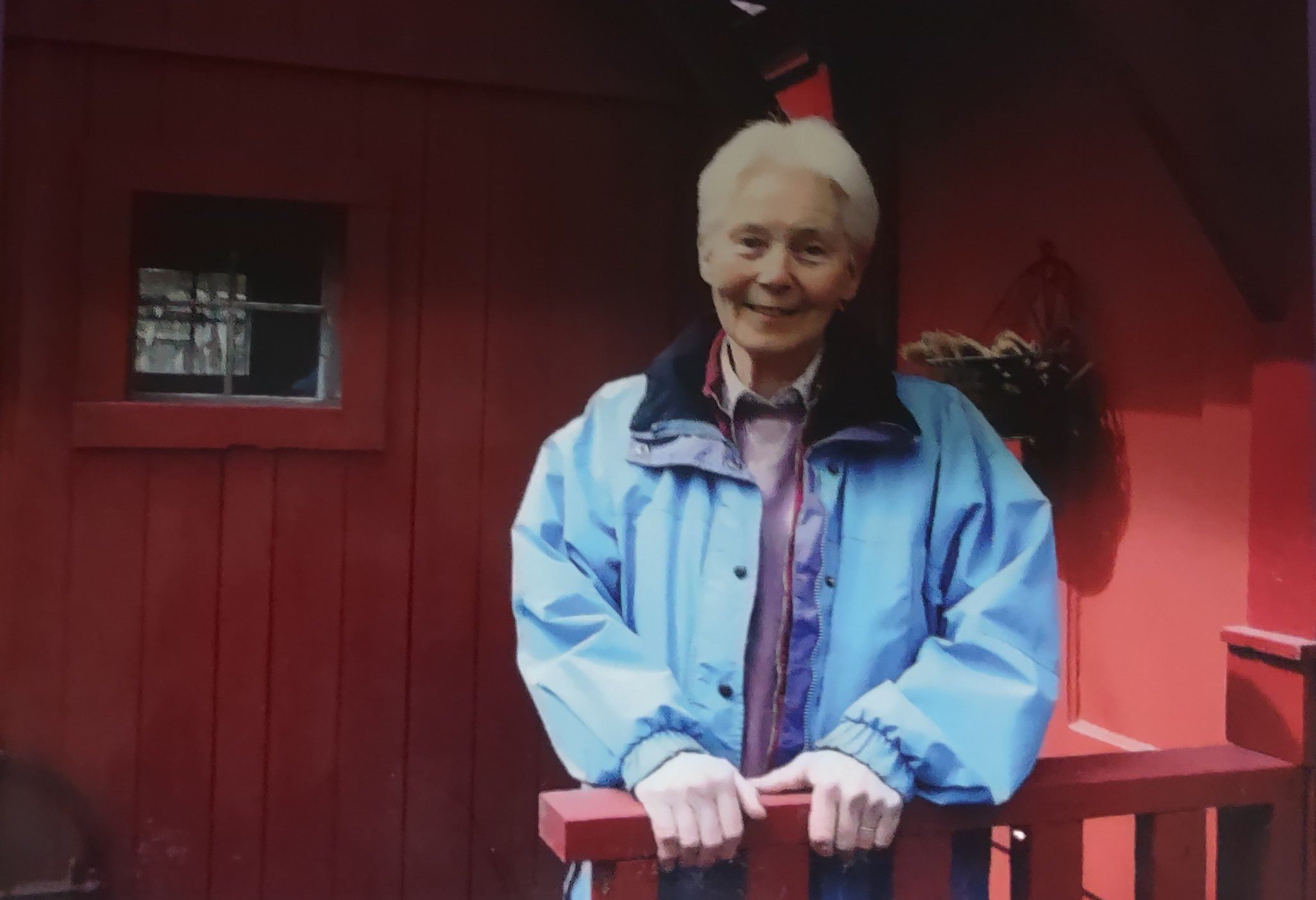
Come join me for our annual pumpkin pie hike/tour with gifted storyteller, Terry Wilson. Take in the fall colors and be charmed by Terry’s stories. This year we will once again visit Terry’s little pioneer village that he constructed with his mother, Rosemary, over two decades. This will be followed with a highlights tour of Meadowvale Village and a trek to the pioneer cemetery of Churchville to the north. Pumpkin pie and hot chocolate will be offered at the cemetery where we will stop for lunch. Copies of Terry’s latest book of short stories will be raffled for 1 dollar a ticket. Bring your loonies or better yet a fiver for a greater chance to win. Most importantly we will honor the memory of Rosemary Wilson. You will get to know this gentle soul, who had such a welcoming heart.
POSTONED FROM Sept 20 to Oct 22 Courtcliff Park Restoration over the Years
https://hikesstaging.brucetrail.org/event/courtcliff-park-restoration-over-the-years/Sorry, the registration cut-off time for this hike has been reached.Not a member? Click here to join today!Hosting Club: Iroquoia
Category: Education Hike
Location (Google Maps): Courtcliff Park CarlisleHike Leader(s): Bronwen Tregunno Click here to contact Hike Leader(s)
Pace: Leisurely – 3km/hr or less
Terrain: Easy – Mostly flat and usually good footing
Distance: 2-3 kmDescription
Postponed as per guest leader. Join Logan Mercier, Conservation Halton, Landowner Outreach & Restoration Team member for an informative tour of Courtcliffe Park – a City of Hamilton park that was once farmland then a trailer park, and now a public park. More information, including an interactive story map is available at https://www.conservationhalton.ca/restoration/courtcliffe-park-restoration/ Much as been done to restore Mountsberg Creek and Bronte Creek back to cold water creeks suitable for species like Brook Trout. As an education walk there will be several stops where Logan will explain the restoration processes that have taken place over the years to restore this park. There will be lots of opportunities for questions. *Note there are no facilities. Closest public restroom is the Tim Hortons at the Corner of Carlisle Road and Highway 6. Bring snacks, water, bug repellent and personal first aid kit. Hike boots recommended. Note ticks are still active. More information on ticks https://conservationhamilton.ca/ticks-and-lyme-disease/ Registration is not required but I would appreciate an email or text with your name saying you are coming. Please arrive before at 12:15 pm so we can get started on our walk promptly at 12:30 pm. You will need to sign a waiver on arrival and have contact information. Bring binoculars if you have them because this is a great birding area. Thank you!Bron brontreg@cogeco.ca text 905-334-4013
2:00 Merrit island loop
https://hikesstaging.brucetrail.org/event/200-merrit-island-loop/Sorry, the registration cut-off time for this hike has been reached.Not a member? Click here to join today!Hosting Club: Niagara
Category: Loop
Location (Google Maps): Merritt Island ParkHike Leader(s): Sylvia Wheeler Click here to contact Hike Leader(s)
Pace: Medium
Terrain: Easy
Distance: 10 kmDescription
Hike from Merritt Island along the East Side of the Welland Canal returning on the West side