
Hike Schedule
Join us for a hike! Registration required.
All hikes available to BTC members. Some hikes are open to non-members.
See Refund Policy for Paid Hikes >
TIP: The calendar view displays up to 7 hikes on a day, but often there are more. Click “View more events” to see them all.
Categories
- 09January 9, 2023
Iroquoia E2Ein10 - Hikes 2, 4, 6, 8 & 10 NEW YEAR led by Bryon Robertson | Weekdays, Brisk
https://hikesstaging.brucetrail.org/event/iroquoia-e2ein10-hikes-2-4-6-8-10-new-year-led-by-bryon-robertson-weekdays-brisk/Sorry, the registration cut-off time for this hike has been reached.Not a member? Click here to join today!Hike open to BTC Members only.
This is a Multi-Day Hike
You are signing up for the following dates:
2023-01-09, 2023-01-11, 2023-01-13, 2023-01-16, 2023-01-17Hosting Club: Iroquoia
Location (Google Maps): Various locations throughout the Iroquoia section of the Bruce Trail
Hike Leader(s): Bryon Robertson Click here to contact Hike Leader(s)
Pace: Brisk – 4 to 5 km/hr
Terrain: Dependent on Conditions, Slippery and Steep Sections, Slippery Sections Likely, Strenuous – Hilly with steep climbs and some poor footing
Distance: Varies by hike, 10 – 16kmDescription
This series of hikes is geared toward the experienced hiker capable of maintaining an average hourly pace of at least 3.5 km./ hr.Please first register for Bryon’s odd-numbered hikes here.
And then join the waitlist on this hike listing. Only those who have registered for Bryon’s odd-numbered E2E in 10 hikes will be moved off the waitlist and registered into an even-numbered series.
If you prefer to do these hikes on the same day as the odd-numbered hikes, please register for Bryon’s “same day” even-numbered E2E in 10 hikes.
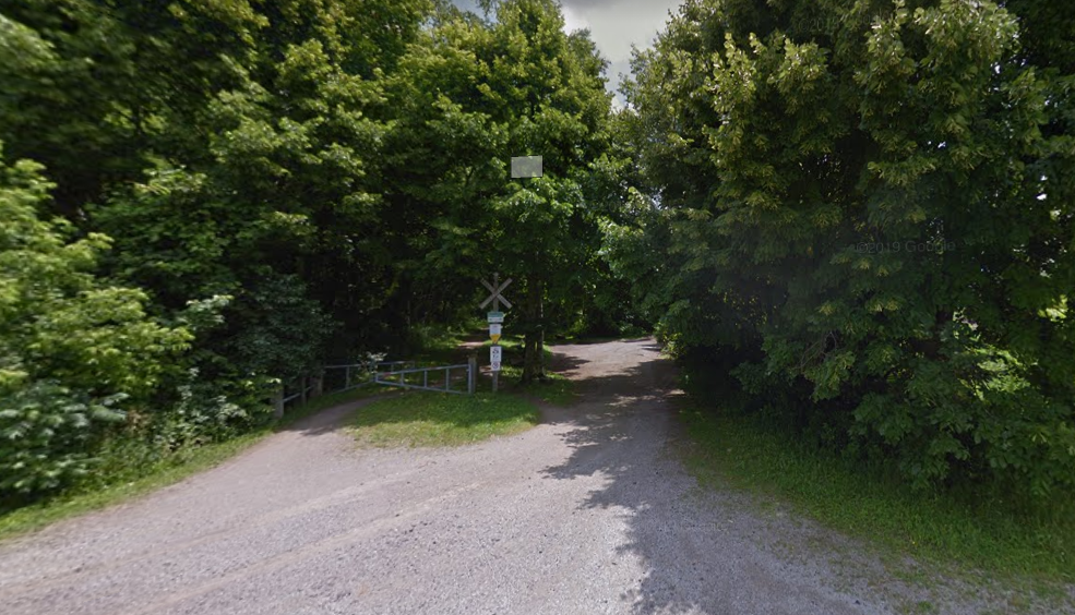
Dundas Rail Trail to DVCA - RESCHEDULED to MONDAY JAN 9
https://hikesstaging.brucetrail.org/event/dundas-rail-trail-to-dvca-2/Sorry, the registration cut-off time for this hike has been reached.Not a member? Click here to join today!Hosting Club: Iroquoia
Category: General Hike
Location (Google Maps): MEET at Hamilton Rail Trail -Binkley Road parking lot
To find Binkley Road parking lot -Take Governor’s road heading west past the main entrance of DVCA to Binkley Road
Turn left onto Binkley road and quick right turn onto Old Highway 99
The parking lot is beside the rail trail entrance on the leftHike Leader(s): Cathie Green Click here to contact Hike Leader(s)
Pace: Medium – 3 to 4 km/hr
Terrain: Moderate – Some hills and/or some poor footing
Distance: Approximately 12 kmsDescription
Winter hike on trails leading into Dundas Valley Conservation area. We will start on the Hamilton Rail Trail from the Binkley Road parking lot and follow that to Gravel Pit Road and onto the Headwaters trail We will hike to the Lookout trail, have a break/lunch and head back via the Reforestation Trail, Mineral Springs Road and back onto the rail trail to our parked cars. Suitable trail for dogs as long as leashed and friendly. Please have water to hike and wear suitable clothing for the weather- Bring a snack/lunch, hiking boots, poles and ICERS -Dundas Valley trails can be quite icy depending on the weatherAny questions or concerns, please email me at cathiekygreen@gmail.com or text 416-931-2095 - 10January 10, 2023
9:15 Short hike, Pelham Road, Short Hills
https://hikesstaging.brucetrail.org/event/915-short-hike-pelham-road-short-hills-33/Sorry, the registration cut-off time for this hike has been reached.Not a member? Click here to join today!Hosting Club: Niagara
Location (Google Maps): Pelham Road entrance, Short Hills Provincial Park
Hike Leader(s): janet davey Click here to contact Hike Leader(s)
Pace: Medium
Terrain: Moderate
Distance: 6 kilometresDescription
Hike the main and side trails in Short Hills. Bring hiking boots, icers and water.City View Park, Burlington
https://hikesstaging.brucetrail.org/event/city-view-park-burlington/Sorry, the registration cut-off time for this hike has been reached.Not a member? Click here to join today!Hosting Club: Caledon Hills
Category: Tuesday Hikers
Location (Google Maps): City View Park parking, Burlington.
From Highway 403 going west, turn right on Brant Street, left on Dundas Street, left on Kerns Rd., take second turn left into City View Park to the parking lot.Hike Leader(s): Mohammad Shafiq Click here to contact Hike Leader(s)
Pace: Medium – 3 to 4 km/hour
Terrain: Moderate – some hills and/or some poor footing
Distance: 12 kmDescription
From City View Park will connect with main Bruce Trail and hike to Smokey Hollow waterfall, also hike Kings ST and Upper Grindstone ST on the way. After snack break will trace back our steps and return to parking.
It’s an opportunity to start shedding some weight may have gained during holiday partying and get back to shape.
Bring icers, gaiters, water and snack. Dress according to weather.Check your email at 7:30 am in case there is change due to weather conditions, a message will be sent.
Hike leader phone No. 416-566-0503.
Humber Valley Heritage Trail
https://hikesstaging.brucetrail.org/event/humber-valley-heritage-trail-7/Sorry, the registration cut-off time for this hike has been reached.Not a member? Click here to join today!Hosting Club: Dufferin Hi-Land
Category: Tuesday Hike
Location (Google Maps): Dick’s Dam Park in Bolton. For car pooling, meet at parking on east side of Party City/Winners building, Hwy10 and 4th Ave. in Orangeville at 8:30 am. Or from King Street and Hwy 50 (Queen St.) in downtown Bolton, drive north on Queen St. (Hwy 50) and in 0.5 km cross the bridge over the Humber River. Turn left on Hickman St., then right on Glasgow Rd. Follow Glasgow Rd. around the bend to parking on your left at Dick’s Dam Park for a 9:30 am start.Hike Leader(s): Tony Evangelista, Les Babbage, Inge Eckerich, Julie Daley Click here to contact Hike Leader(s)
Pace: Medium
Terrain: Moderate, Slippery and Steep Sections
Distance: Long Hike 9 km Short Hike 4.5kmDescription
We will hike about 4.5 km along the Humber River to the parking lot at Duffy’s Lane and Emil Kolb Pkwy and then return by the same route for a total of 9 km. The short hike will end at the parking lot at Duffy’s Lane and Emil Kolb Pkwy for a car shuttle back to Dick’s Dam.Icers are recommended. Bring lunch , water and snacks. If the snow is deep, snow shoes may be required.
Fairmount and Siegerman loop
https://hikesstaging.brucetrail.org/event/fairmount-and-siegerman-loop/Sorry, the registration cut-off time for this hike has been reached.Not a member? Click here to join today!Hosting Club: Beaver Valley
Location (Google Maps): Park @ km 98.3 of Beaver Valley section on Sideroad 22B (west of Fairmount Side Trail) Access from Grey Rd 7 only.
Map 28 E 30Hike Leader(s): Kristina Rettie Click here to contact the hike leader.
Pace: Brisk
Terrain: Moderate, Some steep sections, Strenuous
Length of Hike: 12kmDescription
This hike will take us in a clockwise loop beginning with the Fairmount Side Trail leading us to Beaver Valleys hidden treasure, Webwood Falls. After we take in the beauty of the Falls there is some road hiking before we begin our decent. And with a decent you know what comes next. Yup…you guessed it, UP, UP, UP and maybe even more UP along the Siegerman Side Trail. We will then hit the main trail until we get back to our cars.Please be prepared with icers/snowshoes
Bring plenty of water and snacks
No dogs!
Text or call Kristina @ 519-410-9077 for morning of cancelations
COVID-19 Precautions Before, During and After your Hike
- Each hiker joining a Bruce Trail Club organized hike must perform a self-screening check before hiking.
Find Ontario’s self-assessment tool here: https://covid-19.ontario.ca/self-assessment/ - If you are experiencing COVID-19 symptoms, stay home.
- Personal Protective Equipment:
- Hikers may choose to wear masks
Transportation
It is the Bruce Trail Conservancy’s current policy that car shuttles are allowed. It is at the discrepancy of individual hike leaders to make that decision.
Other Guidelines
- Arrive 15 minutes before the start of the hike.
- Wear sturdy footwear and appropriate attire for the weather and the terrain.
Hiking poles are a good idea in any season, especially if the terrain is rocky or slippery. In winter, snowshoes or icers/crampons are needed when conditions dictate.
Wearing appropriate clothing and footwear prevents injuries and shows consideration for a safe and positive group hiking experience. - Always carry I.D. and your health card.
- Bring sufficient water and snacks (or lunch if indicated). A minimum of 1L of water is recommended on all hikes, and 3L is recommended for long, challenging hikes in the heat of the summer.
- Bring sunscreen and insect repellent (for spring and summer hikes).
- Bring your own first aid kit.
- Please leave dogs at home.
- Each hiker joining a Bruce Trail Club organized hike must perform a self-screening check before hiking.
- 11January 11, 2023
8:30 Niagara Winter End to End #2 Kinsman Park to Glen Road
https://hikesstaging.brucetrail.org/event/830-niagara-winter-end-to-end-2-kinsman-park-to-glen-road-2/Sorry, the registration cut-off time for this hike has been reached.Not a member? Click here to join today!Hosting Club: Niagara
Category: Car Pool
Location (Google Maps): Meet Parking Area Glen Road Carpool to Kinsmen Park Frost Rd Beamsville.Hike Leader(s): Sam Rutherford Click here to contact Hike Leader(s)
Pace: Medium
Terrain: Moderate
Distance: 13.2 kmsDescription
We will be car pooling, Bring Icers and poles. No dogs. To earn your Niagara Winter End to End badge, it must be completed between December 21, 2022 to March 21, 2023.
Because of the potential for bad winter trail conditions we have broken this e2e into 6 hikes rather than 5Mono Cliffs Provincial Park
https://hikesstaging.brucetrail.org/event/mono-cliffs-provincial-park-4/Sorry, the registration cut-off time for this hike has been reached.Not a member? Click here to join today!Hosting Club: Blue Mountains
Category: Register on-line or sign-in morning of hike
Location (Google Maps): Hike meets in the parking lot behind Tim Hortons on First St. in Collingwood.Hike Leader(s): AnHong MacNeil Click here to contact Hike Leader(s)
Pace: Brisk – 4 to 5 km/hr, Medium – 3 to 4 km/hr
Terrain: Moderate – Some hills and/or some poor footing
Distance: 9kmDescription
Please be prepared with icers’s or snowshoes.We will drive to Mono Centre (about 45 minutes from Collingwood south on Airport Road) and park in the village parking lot. We will enter the park and pick up the white blazed trail at km 1.2 of the Dufferin Hi-Lands section. Climbing up the escarpment, we continue along the white blazed trail past McCarston’s Lake to km 5.1. From here, we proceed up the Lookout Side Trail where we will have our lunch while enjoying the amazing view. We then return down the Spillway Trail and along the valley bottom to exit the park, having completed our circuit. Bring beverages and lunch. Map 19 Ed. 30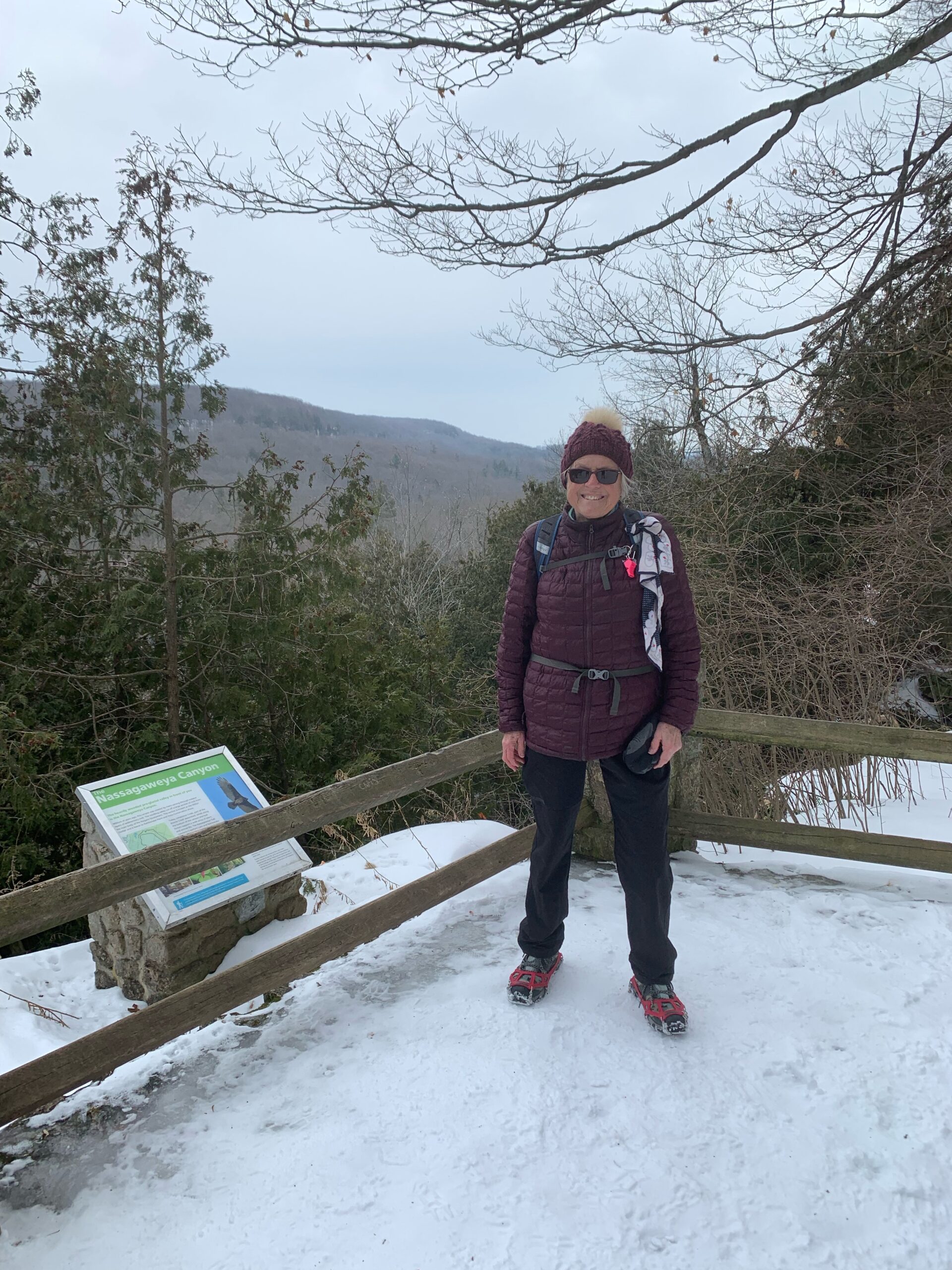
To the Falls and Back
https://hikesstaging.brucetrail.org/event/to-the-falls-and-back-4/Sorry, the registration cut-off time for this hike has been reached.Not a member? Click here to join today!Hosting Club: Iroquoia
Category: Good Companions
Location (Google Maps): Halton Agreement Forest. Intersection of 10th Sideroad East and Fourth Line NassagaweyaHike Leader(s): Anne Armstrong Click here to contact Hike Leader(s)
Pace: Leisurely – 3km/hr or less
Terrain: Moderate – Some hills and/or some poor footing
Distance: 9-10 km.Description
Today’s hike takes place in the Halton Agreement Forest which offers a myriad of trails, both hiking and biking. We will use a combination of both to hike to Hilton Falls and return. Hopefully we will have enough snow to make the trails easy to navigate. Meet at 9:45 am. for a 10:00 am. start at the intersection of 10th Sideroad (east of Guelph Line) and Fourth Line Nassagaweya. Bring water, a snack, icers and poles if using. If cancelling after 4:00 pm. on the day before the hike please text or email the leader.Leader: Anne Armstrong 905 617 3937 hikingrandma@gmail.com
- 12January 12, 2023
9:00 am Long Hike Jordan to Moyer / Louth
https://hikesstaging.brucetrail.org/event/900-am-long-hike-jordan-to-moyer-louth-32/Sorry, the registration cut-off time for this hike has been reached.Not a member? Click here to join today!Hosting Club: Niagara
Location (Google Maps):
Jordan Hollow Park 3039 King St Jordan
Pace: Medium
Terrain: Moderate
: 10kDescription
From Jordan Hollow Hike the main trail to Upper and Lower Balls Falls, Moyer Road or Louth and Return. You must register for each hike. Dress for the weatherBring Poles, snack a drink and icers
9:15 Short hike, Jordan Hollow
https://hikesstaging.brucetrail.org/event/915-short-hike-jordan-hollow-45/Sorry, the registration cut-off time for this hike has been reached.Not a member? Click here to join today!Hosting Club: Niagara
Location (Google Maps): Jordan Hollow Park Jordan
Hike Leader(s): Bill Russell Click here to contact Hike Leader(s)
Pace: Medium
Terrain: Moderate
Distance: 6 kilometresDescription
Hike the main trail and side trails around Jordan and Balls Falls. Bring hiking boots, icers and water.