
Hike Schedule
Join us for a hike! Registration required.
All hikes available to BTC members. Some hikes are open to non-members.
See Refund Policy for Paid Hikes >
TIP: The calendar view displays up to 7 hikes on a day, but often there are more. Click “View more events” to see them all.
Categories
- 28January 28, 2023
Toronto End-to-End January 28, 29 & Feb 5
https://hikesstaging.brucetrail.org/event/toronto-end-to-end-january-28-29-feb-5/Sorry, the registration cut-off time for this hike has been reached.Not a member? Click here to join today!Hike open to BTC Members only.
This is a Multi-Day Hike
You are signing up for the following dates and times:
2023-01-28 at 07:45
2023-01-29 at
2023-02-05 atHosting Club: Iroquoia
Category: Special Event
Location (Google Maps): On the east side of Fourth Line where the trail crosses the road. Do not park in front of the junkyard.Hike Leader(s): Ruth Moffatt Click here to contact Hike Leader(s)
Pace: Brisk – 4 to 5 km/hr
Terrain: Moderate – Some hills and/or some poor footing, Dependent on Conditions, Slippery Sections Likely, Slippery and Steep Sections
Distance: 17.5Description
This is a multi-day Toronto ETE for those who wish to complete the whole section over 3 days. January 28, 29 and Feb 5. Meet time is 7:45. Please do not sign up for this hike unless you are able to attend all three days.Sunday, January 29 we will meet in the same location as January 28 and car shuttle to roadside parking on the east shoulder of Eighth Line at the southernmost intersection of 27th Sideroad. 43.686276, -79-975578 16.5km
Sunday, February 5 we will meet at roadside parking at Boston Mills Rd just west of the Mississauga Rd intersection. Note: driveway is private property. 43.750866, -79.951452 17km.
Please bring poles, if you use them, icers/crampons, enough food and drink for the entire day and any other necessities you require. Please be prepared to share in the car shuttling in a fair manner.
This group hike is marked as Brisk which means an average of 4-5km per hour depending on conditions. Please be honest about your physical capabilities before signing up for this hike. Everyone is expected to keep pace with the person in front of them and within view of the hike leader.
If there is inclement weather, please save Feb 11 & 12 as potential alternate dates.
Winter Coach Trip: Arrowhead Provincial Park
https://hikesstaging.brucetrail.org/event/winter-coach-trip-arrowhead-provincial-park/Sorry, the registration cut-off time for this hike has been reached.Not a member? Click here to join today!Trip Information
Departure Time: 08:00
Return to City Time: 18:30
Departure Point: York Mills Bus PickupTrip Activities
I would like to be picked up at 10 York Mills Rd ($0.01)
I would like to be picked up at the Major Mackenzie Dr and HWY 400 Park and Ride ($0.01)
Optional ItemsHosting Club: Toronto
Category: Coach Trips
Location (Google Maps): Arrowhead Provincial ParkHike Leader(s): Martina Furrer, Marie-Josée Roy, Janet Patterson Click here to contact Hike Leader(s)
Description
No trail fees at Arrowhead! Bus cost includes park admission.Bus departs 10 York Mills Rd at 8:00 AM and Major Mackenzie Dr and HWY 400 Park and Ride at 8:20 AM. If you wish to be picked up at the Major Mackenzie Dr and HWY 400 Park and Ride, select that option when you register. Please arrive 15 minutes before departure. The bus waits for no one.
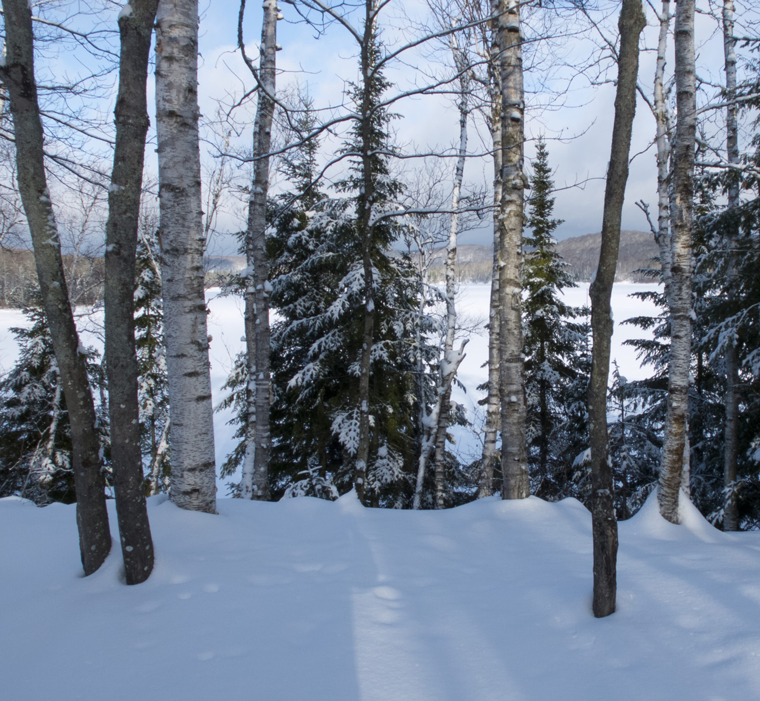
Join us for an awesome day of winter fun at Arrowhead Provincial Park. For information about trail conditions visit: https://www.ontarioparks.com/skireport. For information about the park visit: https://www.ontarioparks.com/park/arrowhead. Join Marie-Josée and Janet for a guided snowshoe hike, or enjoy self-guided skiing on trails groomed for classic and skate skiing. After skiing or snowshoeing spend some time snow tubing (if open) or ice skating in the forest.
There are no food services in the park. Pack water/tea and lunch.
Ski and snowshoe rentals available.
Coach fares and park admission must be paid online when you register. Masks are mandatory on the bus.
Car Hike: Bethesda Trail Richmond Hill
https://hikesstaging.brucetrail.org/event/car-hike-bethesda-trail-richmond-hill-5/Sorry, the registration cut-off time for this hike has been reached.Not a member? Click here to join today!Hosting Club: Toronto
Location (Google Maps): Oak Ridges Trail head Bethesda parking
Hike Leader(s): Mohammad Aghamiri Click here to contact Hike Leader(s)
Pace: Brisk
Terrain: Hilly, Variable
Distance: 14-15KMDescription
We will explore Oak Ridges Corridor in Richmond Hill, Hike around Bond lake .To reach there turn right to Bethesda side road from Bayview Ave. Then drive around 500 meter and park in Oak Ridges trail head parking.
It is winter time please bring your icers, hiking poles, proper closing and shoes and hot drinks,
Please carefully read safety procedures during the hike:
1-Hikers must stay between the leader and the sweep.
2-Hikers must advise the leader or the sweep if they wish to leave the group.
3- Hikers must follow the whistle instructions: 1 blast- stay where you are; 2 blasts come to the leader; 3 blasts – come to the leader quickly.
4-Hike leader may request volunteers to stop at trail intersections, they need to help hikers to the direction the group walk and wait till they see the sweep .
5-Hikers have to make sure they can see the persons behind and in front of them.
8:30 Niagara Winter End to End #2 Kinsman Park to Glen Road
https://hikesstaging.brucetrail.org/event/830-niagara-winter-end-to-end-2-kinsman-park-to-glen-road/Sorry, the registration cut-off time for this hike has been reached.Not a member? Click here to join today!Hosting Club: Niagara
Category: Car Pool
Location (Google Maps): Meet Parking Area Glen Road Carpool to Kinsmen Park Frost Rd Beamsville.Hike Leader(s): Alan Laver Click here to contact Hike Leader(s)
Pace: Medium
Terrain: Moderate
Distance: 13.2Description
We will be car pooling, Bring Icers and poles. No dogs. To earn your Niagara Winter End to End badge, it must be completed between December 21, 2022 to March 21, 2023.
Because of the potential for bad winter trail conditions we have broken this e2e into 6 hikes rather than 5
9:00 Queenston Loop
https://hikesstaging.brucetrail.org/event/900-queenston-loop-2/Sorry, the registration cut-off time for this hike has been reached.Not a member? Click here to join today!Hosting Club: Niagara
Category: Loop
Location (Google Maps): Meet at Locust Grove, opposite the cairn, on the Niagara Parkway, Queenston.Hike Leader(s): Margaret Northfield Click here to contact Hike Leader(s)
Pace: Medium
Terrain: Moderate
Distance: 8kmDescription
Explore Queenston Heights. We will be taking Sheaffe Pass and coming up the escarpment at the switchback. Hiking poles and ices may be needed depending upon the weather. Bring water and a snack.Exploring Mono Cliffs Provincial Park in Winter
https://hikesstaging.brucetrail.org/event/exploring-mono-cliffs-provincial-park-in-winter/Sorry, the registration cut-off time for this hike has been reached.Not a member? Click here to join today!Hosting Club: Dufferin Hi-Land
Category: General Hike
Location (Google Maps): Dufferin Hi-Land, Map 19, Km 7.9. Mono Cliffs Provincial Park.
Directions: Heading north on Hwy 10, turn right on 25 Sideroad (approx. 14 km north of Orangeville) turn right on 1st Line EHS, follow to the end.Hike Leader(s): Bryan and Carol Foley Click here to contact Hike Leader(s)
Pace: Medium
Terrain: Dependent on Conditions
Distance: 8 kmDescription
Meet 9:15 am. We will explore Mono Cliffs Provincial Park as it can only be explored in winter. Bring water, snacks, dress for the conditions, snowshoes are essential. CAREFUL OF THE DITCHES WHEN PARKING. Parking is limited, car pool if you can.The Bluffs in Reverse
https://hikesstaging.brucetrail.org/event/the-bluffs-in-reverse/Sorry, the registration cut-off time for this hike has been reached.Not a member? Click here to join today!Hosting Club: Blue Mountains
Category: Register on-line or sign-in morning of hike
Location (Google Maps): Hike meets in the parking lot behind Tim Hortons on First St. in Collingwood.Hike Leader(s): Allison Thomas Click here to contact Hike Leader(s)
Pace: Medium – 3 to 4 km/hr
Terrain: Moderate – Some hills and/or some poor footing
Distance: 5.5km / 8kmDescription
Please be prepared with icers’s or snowshoes.We will park in the Nottawasaga Bluffs parking. We will start our hike km21.9 heading in”reverse” of our traditional direction. We will head to the Keyhole ST and make our way down and through keyhole coming up and out onto the Nottawasaga Lookout ST. We will loop around and back to the cars via the white blazed trail (5.5km). Here you can opt out at the cars or or carry on with the group down the Hamilton Bros. ST to the Betty Carter ST. Once we reach the MainTrail we will take the direct route back to cars once again (8km). Bring water and a snack. Map 22 Ed. 30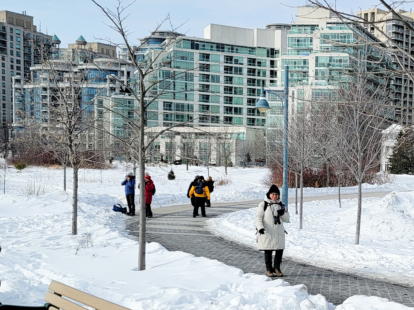
Urban Walk: Waterfront Trail 4/8 - Parklawn
https://hikesstaging.brucetrail.org/event/urban-walk-waterfront-trail-4-8-parklawn/Sorry, the registration cut-off time for this hike has been reached.Not a member? Click here to join today!Hosting Club: Toronto
Category: Urban Walk
Location (Google Maps): Toronto Waterfront TrailHike Leader(s): Brian Rideout Click here to contact Hike Leader(s)
Pace: Moderate
Terrain: Flat
Distance: 9.1Description
Please join me at Old Mill Station no later than 9:12 am. We will take the 66 bus departing 9:27 am, arriving 9:40 am. If you want to meet us at Parklawn and Lakeshore, please be there by 9:40 am. We start hiking at 9:50 am.We will hike east along the lake to Spadina. The estimated distance is 9.1 km. Here is an online map of our route Parklawn to SpadinaBring a snack, at least 2 liters of water, and icers. Dress for cold weather.Urban Walk: Cootes Paradise (By GO Transit)
https://hikesstaging.brucetrail.org/event/urban-walk-cootes-paradise-by-go-transit/Sorry, the registration cut-off time for this hike has been reached.Not a member? Click here to join today!Hosting Club: Toronto
Category: Urban Walk
Location (Google Maps): McMaster University GO Bus Terminal. Transit riders may meet at the Great Hall in Union Station at 8:30 to take the 8:45 AM Westbound Lakeshore Line train to Aldershot (or join us at stations on the way). At Aldershot we connect with the GO bus to McMaster University.Hike Leader(s): Tom Swales Click here to contact Hike Leader(s)
Pace: Moderate
Terrain: Hilly, Variable
Distance: 9Description
Join us for a Winter visit to the scenic trails of Cootes Paradise by McMaster University to Princess Point where a fire pit, skaters, and hot chocolate await. Icers are a must for the trails and hills. From Princess Point we’ll proceed to West Hamilton for GO Bus connections to Aldershot or the express bus to Union Station. You may also return to McMaster. Cootes Paradise is a beautiful nature getaway and the largest, most diverse sanctuary in the Royal Botanical Gardens spanning over 600 hectares. On the trails and their lookouts you may spot wildlife, even in Winter. Princess Point has local bus service if you don’t wish to walk further. Dress warmly for the weather and bring icers and hot drinks.Car Hike: Mono Cliffs Winter Hike
https://hikesstaging.brucetrail.org/event/car-hike-mono-cliffs-winter-hike/Sorry, the registration cut-off time for this hike has been reached.Not a member? Click here to join today!Hosting Club: Toronto
Category: Car Hike
Location (Google Maps): Mono Cliffs Provincial Park, Map 19Hike Leader(s): Al Brown
Pace: Moderate
Terrain: Flat
Distance: 6-8 kmDescription
We will hike through the Mono Cliffs Provincial Park completing a loop of 6 to 8 km. Actual distance will be weather dependent. Trail conditions may include significant snow. Icers are recommended. Snowshoes are optional (and, I hope, needed).After the hike we will stop in the Mono Cliffs Inn, near the parking area, for refreshments.
To get to the meeting point go north on Hwy 10, past Orangeville to County Road 8 (at Camilla). Turn right and go about 5-5 km to Mono Centre. The parking area is on the right just before you get to the village centre.

Saunter around the valley
https://hikesstaging.brucetrail.org/event/saunter-around-the-valley/Sorry, the registration cut-off time for this hike has been reached.Not a member? Click here to join today!Hosting Club: Iroquoia
Category: General Hike
Location (Google Maps): Dundas Valley Conservation AreaHike Leader(s): Robert House Click here to contact Hike Leader(s)
Pace: Medium – 3 to 4 km/hr
Terrain: Moderate – Some hills and/or some poor footing
Distance: 10KMDescription
Dundas Valley Conservation Area is a magnificent outdoor area consisting of over 40km (about 24.85 mi) of trails located minutes from the downtown core of Hamilton.Join me this Saturday, January 28th at 11:00 AM as we saunter around the valley. We will explore the deer run loop, homestead trail loop (I saw 3 deer on my pre-hike), Canterbury falls and the main loop.
This will be a moderately paced hike totalling about 10KM. The hike should finish within 3 hours.
We will meet at the picnic tables at the trail centre.
The gatehouse may be open, entry is free if you have your HCA card or $11 if you do not have a membership. Only credit cards are accepted at the gate if there is no attendant.
The trail is gravel or grass with some roots and rocks and some steep hills. Depending on the weather the trail may be snow covered or muddy.
Bring snacks, a warm beverage, and weather-appropriate clothing. Icers may be needed depending on the weather.
Please arrive at 10:45 so we can start promptly at 11:00
If the weather is stormy I will send out an email the morning of the hike letting you know if it’s canceled. If you need to cancel please send an email letting me know.
Slough of Despond Side Trail to Esthers Bluff
https://hikesstaging.brucetrail.org/event/slough-of-despond-side-trail-to-esthers-bluff/Sorry, the registration cut-off time for this hike has been reached.Not a member? Click here to join today!Hosting Club: Sydenham
Category: Snowshoe Hike
Location (Google Maps): Parking lot at Kemble Arena on the east side of Kemble Rock Road, south of Concession 20Hike Leader(s): Maureen McFarland Click here to contact Hike Leader(s)
Pace: Leisurely: 3 km/h or less
Terrain: Moderate: Some hills and/or poor footing
Distance: approx 5 kmDescription
We will carpool to start of hike on Burgess Side Road, north side of Conc 24, and hike along access road and cart track to farm property, crossing the field to enter forest along rocky trail to lookouts over the Slough. Return to cars along same trail. Map 34. Conact number 647-918-4180. - 29January 29, 2023
HIKE LEADER CERTIFICATION COURSE
https://hikesstaging.brucetrail.org/event/hike-leader-certification-course/Sorry, the registration cut-off time for this hike has been reached.Not a member? Click here to join today!Hosting Club: Niagara
Category: Event Hikes
Location (Google Maps): Room WH207
Welch Hall Brock University. Parking free Zone 1Hike Leader(s): Alan Laver Click here to contact Hike Leader(s)
Description
This is a 2 session course for “Hike Ontario” Certified Hike Leader. The first session will take place on Zoom at 6:30 to 8:30 on January 27th and will be an opportunity to introduce yourself, get an insight to the course content and share your hiking experiences. The main session on Sunday at Brock University will start at 8:30 and will be in class learning until the afternoon when practical hike leading scenarios will take place. You must bring a backpack with items you would carry on a hike as a leader as we will be sharing this. Dress for the weather and bring a packed lunch.Most BTC members will be reimbursed by their individual clubs subject to participating in leading hikes
Course Literature will be provided
9:00 Hike from Rotary Park along 12 mile creek
https://hikesstaging.brucetrail.org/event/900-hike-from-rotary-park-along-12-mile-creek/Sorry, the registration cut-off time for this hike has been reached.Not a member? Click here to join today!Hosting Club: Niagara
Category: In and Out
Location (Google Maps): Park at Rotary Park off Pelham RoadHike Leader(s): Mark Casburn Click here to contact Hike Leader(s)
Pace: Medium
Terrain: Moderate
Distance: 6kDescription
This will be an in and out hike. We will start at Rotary park and hike along 12 Mile Creek. Please bring hiking boots, water and icers due to slippery conditions.Mono Cliffs Provincial Park -CANCELLED DUE TO WEATHER TRAVEL ADVISORY
https://hikesstaging.brucetrail.org/event/mono-cliffs-provincial-park-5/Sorry, the registration cut-off time for this hike has been reached.Not a member? Click here to join today!Hosting Club: Iroquoia
Category: General Hike
Location (Google Maps): Mono Cliffs Provincial ParkHike Leader(s): Pati Greenwood, Jeff Dowsett Click here to contact Hike Leader(s)
Pace: Medium – 3 to 4 km/hr
Terrain: Moderate – Some hills and/or some poor footing
Distance: 11 KmDescription
THE HIKE IS CANCELLED DUE TO A WINTER WEATHER TRAVEL ADVISORY.
We will hike through the Mono Cliffs Provincial Park on the main Bruce Trail and several side trails. Bring water and snacks. Wear clothing and footwear appropriate to conditions; icers and/or snowshoes may be required depending on conditions.
Park in the gravel lot at the Mono Community Centre, Mono Centre Road (County Road 8). Please arrive by 9:15 am as we will leave promptly at 9:30 am.
There will be an optional pub stop following the hike – details will be provided several days before the hike.

Sunday Rambles - Beamer Falls
https://hikesstaging.brucetrail.org/event/sunday-rambles-beamer-falls/Sorry, the registration cut-off time for this hike has been reached.Not a member? Click here to join today!Hike open to BTC Members only.
Hosting Club: Iroquoia
Category: General Hike
Location (Google Maps): Meet at Grimsby Lions Pool (1 Elm St) to hike Beamer Memorial Conservation AreaHike Leader(s): Colleen Mabalay, Carol Swanson Click here to contact Hike Leader(s)
Pace: Medium – 3 to 4 km/hr
Terrain: Moderate – Some hills and/or some poor footing
Distance: Approx 6kmDescription
Beamer Memorial Conservation Area offers one of Niagara’s most breath-taking and panoramic views of the Niagara Escarpment and Lake Ontario. Hike up the escarpment to the falls, walk along the scenic lookout and Bruce Trails and soak up the picturesque views of the 40 Mile Creek Valley, the Lake Ontario shoreline and the escarpment ridge from one of the viewing platforms. Bring water and snack. Poles and/icers may be needed depending on weather and trail conditions.
UrbanWalk: Waterfront Trail 3/8 - Long Branch
https://hikesstaging.brucetrail.org/event/urbanwalk-waterfront-trail-3-8-long-branch/Sorry, the registration cut-off time for this hike has been reached.Not a member? Click here to join today!Hosting Club: Toronto
Location (Google Maps): Etobicoke Waterfront Trail
Hike Leader(s): Brian Rideout Click here to contact Hike Leader(s)
Pace: Moderate
Terrain: Flat
Distance: 9 kmDescription
Please join me at Kipling Station by 9:15 am. We will take the 123 bus departing 9:30 am, arriving 9:53 am. If you want to meet us at the Long Branch loop, be there by 9:53 am. We start hiking at 10:00 am.We will hike to the lake and then east to Parklawn. There we can catch a bus to Old Mill Station or take the Lakeshore bus / streetcar. The estimated distance is 9 km. Here is an online map of our route – Long Branch to Parklawn
Bring a snack, at least 2 liters of water, and icers. Dress for cold weather.
- 30January 30, 2023
Bass Lake and Ross McLean Side Trail
https://hikesstaging.brucetrail.org/event/bass-lake-and-ross-mclean-side-trail/Sorry, the registration cut-off time for this hike has been reached.Not a member? Click here to join today!Hosting Club: Sydenham
Category: Snowshoe Hike
Location (Google Maps): The Galaxy Theatre parking lot. Meet in the parking lot at the tall “Galaxy Centre” sign next to the traffic lights.
1020 10th St. W., Owen SoundHike Leader(s): Maureen McFarland Click here to contact Hike Leader(s)
Pace: Medium: 3 to 4 km/h
Terrain: Moderate: Some hills and/or poor footing, There might be icy and slippery sections.
Distance: 7.5 kmsDescription
We’ll take the long way to Bass Lake on this hike. Starting at the Dawson Road Side Trail, we head north to the Ross McLean Side Trail, follow it to the main trail, then hike south to return. Map 34. Hiking poles are helpful.Please contact the leader if you wish to meet at the start of the hike at 647-918-4180.
- 31January 31, 2023
9:00 Long Hike Wiley Road Short Hills
https://hikesstaging.brucetrail.org/event/900-long-hike-wiley-road-short-hills-10/Sorry, the registration cut-off time for this hike has been reached.Not a member? Click here to join today!Hosting Club: Niagara
Location (Google Maps):
Short Hills Wiley Road Entrance
Pace: Medium
Terrain: Moderate
: 10kmDescription
Explore Short Hills and the majestic side trails of Scarlett Tanager, Hemlock. Swayze Falls and Terrace. Register for each hike
Bring Poles water, snack and dress for the weather
9:15 Short hike, Rotary Park, St. Catharines
https://hikesstaging.brucetrail.org/event/915-short-hike-pelham-road-short-hills-36/Sorry, the registration cut-off time for this hike has been reached.Not a member? Click here to join today!Hosting Club: Niagara
Location (Google Maps): Rotary Park, St. Catharines
Hike Leader(s): janet davey Click here to contact Hike Leader(s)
Pace: Medium
Terrain: Moderate
Distance: 6 kilometresDescription
Hike the trails in Rotary Park. Bring hiking boots, icers and water.Sligo, Beaver, Epping snowshoe hike (shuttle hike)
https://hikesstaging.brucetrail.org/event/sligo-beaver-epping-snowshoe-hike-shuttle-hike/Sorry, the registration cut-off time for this hike has been reached.Not a member? Click here to join today!Hosting Club: Beaver Valley
Location (Google Maps): Meet at John Muir Lookout parking lot on Grey Rd 7, near km 96.9. From here we will shuttle to start at Sideroad13A (km89.5)
Map 27, Edition 30Hike Leader(s): Kristina Rettie Click here to contact the hike leader.
Pace: Brisk
Terrain: Moderate
Length of Hike: 10kmDescription
This Linear hike will include 3 side trails. Sligo Side Trail, Beaver Pond Lookout Side Trail and ending with the Epping Lookout Side Trail that will lead us to the John Muir Lookout area.This hike will require snowshoes as we go through fields and the snow can be thigh high making for a strenuous hike. Don’t let the flat terrain fool you.
Bring a snack and water!
Please no dogs
Text Kristina @ 519-410-9077 for morning of cancellations.
COVID-19 Precautions Before, During and After your Hike
- Each hiker joining a Bruce Trail Club organized hike must perform a self-screening check before hiking.
Find Ontario’s self-assessment tool here: https://covid-19.ontario.ca/self-assessment/ - If you are experiencing COVID-19 symptoms, stay home.
- Personal Protective Equipment:
- Hikers may choose to wear masks
Transportation
It is the Bruce Trail Conservancy’s current policy that car shuttles are allowed. It is at the discrepancy of individual hike leaders to make that decision.
Other Guidelines
- Arrive 15 minutes before the start of the hike.
- Wear sturdy footwear and appropriate attire for the weather and the terrain.
Hiking poles are a good idea in any season, especially if the terrain is rocky or slippery. In winter, snowshoes or icers/crampons are needed when conditions dictate.
Wearing appropriate clothing and footwear prevents injuries and shows consideration for a safe and positive group hiking experience. - Always carry I.D. and your health card.
- Bring sufficient water and snacks (or lunch if indicated). A minimum of 1L of water is recommended on all hikes, and 3L is recommended for long, challenging hikes in the heat of the summer.
- Bring sunscreen and insect repellent (for spring and summer hikes).
- Bring your own first aid kit.
- Please leave dogs at home.

Frosty Five Winter Blues Badge Series 3/5 Weekday
https://hikesstaging.brucetrail.org/event/frosty-five-winter-blues-badge-series-3-5-weekday/Sorry, the registration cut-off time for this hike has been reached.Not a member? Click here to join today!Hosting Club: Caledon Hills
Category: Tuesday Hikers
Location (Google Maps): Meet at the BTC parking lot on the east side of 5th Line EHS, just south of Hockley Road. 43.993572, -80.014057 (Map 18, Edition 30)Directions: From ON-10 turn east onto Hockley Rd/Dufferin County Rd 7. Drive for 9.4 kilometres. Turn south/right onto 5 Line E. Drive for 100 metres.
Hike Leader(s): Sandy Green Click here to contact Hike Leader(s)
Pace: Medium – 3 to 4 km/hour
Terrain: Strenuous – hilly with steep climbs and some poor footing
Distance: 9.5 kilometresDescription
Beat the winter blues! Register individually for one, a few, or all of our Frosty Five Winter Blues Weekday Badge hikes. Participants who complete all five hikes will be eligible to receive a CHBTC Winter badge and a Sideways badge on the final hike. Hike three explores parts of the main Trail and Hemlock Ridge, Griffith Ravine and Glacier Valley Side Trails in the south Hockley Valley area. Bring your choice of hydration and snacks. Hiking boots and icers/crampons are required. See January 3, January 17, February 14, and February 28 for details pertaining to the other hikes in the series. (Note: If you wish to purchase badges, the cost of each badge is $10.00 for BTC members and $15.00 for non-members.)
Glen Haffy Conservation Area
https://hikesstaging.brucetrail.org/event/glen-haffy-conservation-area-3/Sorry, the registration cut-off time for this hike has been reached.Not a member? Click here to join today!Hosting Club: Dufferin Hi-Land
Category: Tuesday Hike
Location (Google Maps): Caledon Hills Section, Map 17. Meet at roadside parking on Coolihans Sideroad at Glen Haffy Rd (Km 35.2).Hike Leader(s): Les Babbage, Inge Eckerich, Julie Daley, Tony Evangelista Click here to contact Hike Leader(s)
Pace: Leisurely
Terrain: Moderate, Slippery and Steep Sections
Distance: 6.1 km; Shorter hike: 4 kmDescription
We will hike north through Glen Haffy Conservation Area on the Main Trail, returning by way of several Park trails. The shorter hike will take a shorter loop back on Park trails. Bring water and snacks. Snowshoes and/or icers may be required.Exploring Lowville Park, River and Ruin Side Trail and Maple Cross Nature Reserve. An option to explore Walt Rickli interactive, sculpture garden.
https://hikesstaging.brucetrail.org/event/exploring-lowville-park-river-and-ruin-side-trail-and-maple-cross-nature-reserve-an-option-to-explore-walt-rickli-interactive-sculpture-garden/Sorry, the registration cut-off time for this hike has been reached.Not a member? Click here to join today!Hosting Club: Iroquoia, Caledon Hills, Dufferin Hi-Land
Category: Tuesday Hikers
Location (Google Maps): Iroquoia, Map 10 – Mount Nemo
Meet in Lowville Park, 6207 Lowville Park Rd. Burlington. Meet in the parking lot. NOTE: The parking lot is gated, but there is no charge to park here. Just drive up to the gate and the arm will rise automatically.Hike Leader(s): Doris Harper Click here to contact Hike Leader(s)
Pace: Medium – 3 to 4 km/hour
Terrain: Moderate – some hills and/or some poor footing
Distance: 12 kmDescription
We will hike the trails through Lowville Park, then cross Guelph Line to access the River and Ruin Side Trail and Maple Cross Nature Reserve. The trail connects to the main trail; so we will also hike the main trail there and back between No. 8 Sideroad and Britannia Rd. At the end of the hike, there is the option to take about 1/2 hour and wander through the sculpture garden.Bring, water and snacks, Poles, icers and gators recommended.
**Please check email before leaving home. Hike may be cancelled if unfavourable weather conditions occur**
Doris Harper
harpt7c@gmail.com
cell # 519-589-4114
- Each hiker joining a Bruce Trail Club organized hike must perform a self-screening check before hiking.