
Hike Schedule
Join us for a hike! Registration required:
All hikes available to BTC members. Some hikes are open to non-members.
TIP: The calendar view displays up to 7 hikes on a day, but often there are more. Click “More events” to see them all.
Categories
- 12January 12, 2023
9:00 am Long Hike Jordan to Moyer / Louth
https://hikesstaging.brucetrail.org/event/900-am-long-hike-jordan-to-moyer-louth-32/Sorry, the registration cut-off time for this hike has been reached.Not a member? Click here to join today!Hosting Club: Niagara
Location (Google Maps):
Jordan Hollow Park 3039 King St Jordan
Pace: Medium
Terrain: Moderate
: 10kDescription
From Jordan Hollow Hike the main trail to Upper and Lower Balls Falls, Moyer Road or Louth and Return. You must register for each hike. Dress for the weatherBring Poles, snack a drink and icers
9:15 Short hike, Jordan Hollow
https://hikesstaging.brucetrail.org/event/915-short-hike-jordan-hollow-45/Sorry, the registration cut-off time for this hike has been reached.Not a member? Click here to join today!Hosting Club: Niagara
Location (Google Maps): Jordan Hollow Park Jordan
Hike Leader(s): Bill Russell Click here to contact Hike Leader(s)
Pace: Medium
Terrain: Moderate
Distance: 6 kilometresDescription
Hike the main trail and side trails around Jordan and Balls Falls. Bring hiking boots, icers and water. - 13January 13, 2023
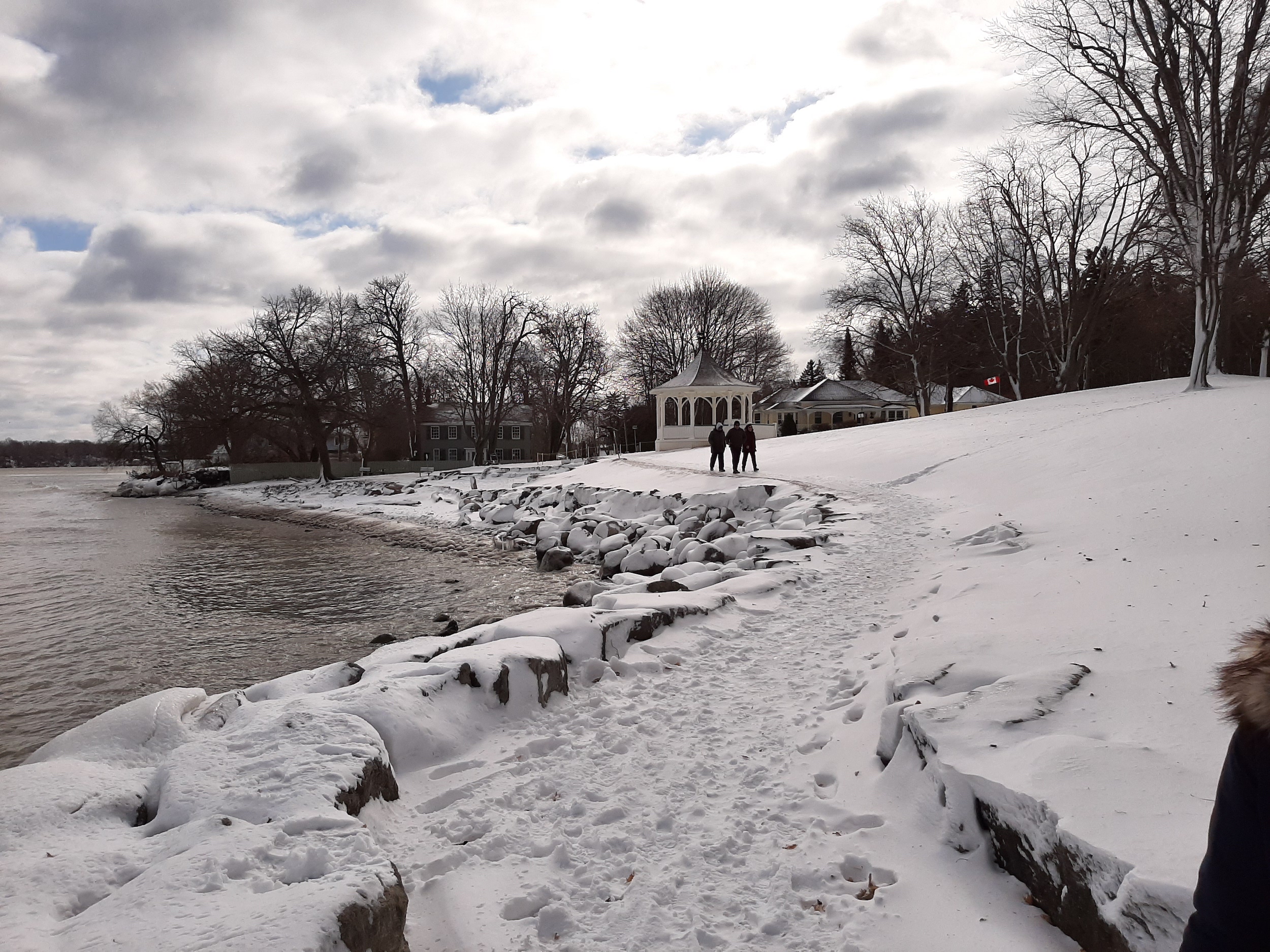
9:00 Niagara-on-the-Lake Tour
https://hikesstaging.brucetrail.org/event/900-niagara-on-the-lake-tour-8/Sorry, the registration cut-off time for this hike has been reached.Not a member? Click here to join today!Hosting Club: Niagara
Category: Urban
Location (Google Maps): Park on King St near the entrance to Veteran’s Memorial Park, King & Centre St., Niagara-on-the-LakeHike Leader(s): Margaret Northfield Click here to contact Hike Leader(s)
Pace: Medium
Terrain: Easy
Distance: 6-8kmDescription
Each Friday we will explore different neighbourhoods, trails and parkland throughout Historic Niagara-on-the-Lake.
Moderate pace with some weeks entirely on sidewalks and roads while others may include a mix of trails and paved pathways. Great way to build up endurance for longer more strenuous hikes.
Prepare for cooler windy conditions on open parkland and along Lake Ontario and Niagara River trails.
Plan to stay for conversation and a warm cup of coffee or tea at Sweets & Swirls, Community Centre, Niagara Stone Road, NOTL
Field Trip! Pretty River Workout Blue Mountains BTC
https://hikesstaging.brucetrail.org/event/field-trip-pretty-river-workout-blue-mountains-btc/Sorry, the registration cut-off time for this hike has been reached.Not a member? Click here to join today!Hosting Club: Beaver Valley
Location (Google Maps): Meet in the Snowdrifters parking lot northeast of km 46.8 on Pretty River Road. Map 23, Edition 30. 44.430927 -80.275390
Hike Leader(s): Glenda Collings Click here to contact the hike leader.
Pace: Medium
Terrain: Moderate, Strenuous, Some steep sections
Length of Hike: Approx. 8.8 km with a short in and out to the highest point on the Bruce TrailDescription
We will be working on our cardio as we climb up and down some main and side trails in Pretty River Provincial Park. We’ll be looping through the area then returning to our cars. Please bring snowshoes and icers and we’ll decide what we need on the day. - 14January 14, 2023
Car Hike: Happy Valley King City
https://hikesstaging.brucetrail.org/event/car-hike-happy-valley-king-city-2/Sorry, the registration cut-off time for this hike has been reached.Not a member? Click here to join today!Hosting Club: Toronto
Category: Car Hike
Location (Google Maps): 14510 Weston Road, King City, King, Ontario, park along 16th side roadHike Leader(s): Mohammad Aghamiri Click here to contact Hike Leader(s)
Pace: Moderate
Terrain: Variable
Distance: 14-15KMDescription
It is winter time please bring your icers, hiking poles, proper closing and shoes and hot drinks,Please carefully read safety procedures during the hike:
1-Hikers must stay between the leader and the sweep.
2-Hikers must advise the leader or the sweep if they wish to leave the group.
3- Hikers must follow the whistle instructions: 1 blast- stay where you are; 2 blasts come to the leader; 3 blasts – come to the leader quickly.
4-Hike leader may request volunteers to stop at trail intersections, they need to help hikers to the direction the group walk and wait till they see the sweep .
5-Hikers have to make sure they can see the persons behind and in front of them.
8:30 Iroquoia E2E #7
https://hikesstaging.brucetrail.org/event/830-iroquoia-e2e-7/Sorry, the registration cut-off time for this hike has been reached.Not a member? Click here to join today!Hosting Club: Niagara
Category: Car Pool
Location (Google Maps): 16.9 to 0.0 Grimsby Lions Community Pool, 3 Elm St Car Pool to 38 Millen Road. Roadside Parking N 43.210114 w79.727058Hike Leader(s): Alan Laver Click here to contact Hike Leader(s)
Pace: Medium
Terrain: Moderate
Distance: 16.9Description
This is the 7th of 7 hikes to complete the Iroquoia section of the Bruce Trail. Dress for the weather and bring icers, gators, snacks and water
Bring $10 for the badge
Cancelled -Winter Coach Trip: Wasaga Beach Provincial Park
https://hikesstaging.brucetrail.org/event/winter-coach-trip-wasaga-beach-provincial-park/Sorry, the registration cut-off time for this hike has been reached.Not a member? Click here to join today!Hosting Club: Toronto
Category: Cancelled
Location (Google Maps): Wasaga NordicHike Leader(s): Martina Furrer, Duro Vukman Click here to contact Hike Leader(s)
Description
Due to the contuing warm temperatures and lack of snow this trip has been cancelled.Bus departs 10 York Mills Rd at 8:30 AM and Major Mackenzie Dr and HWY 400 Park and Ride at 8:50 AM. If you wish to be picked up at the Major Mackenzie Dr and HWY 400 Park and Ride, select that option when you register. Please arrive 15 minutes before departure. The bus waits for no one.
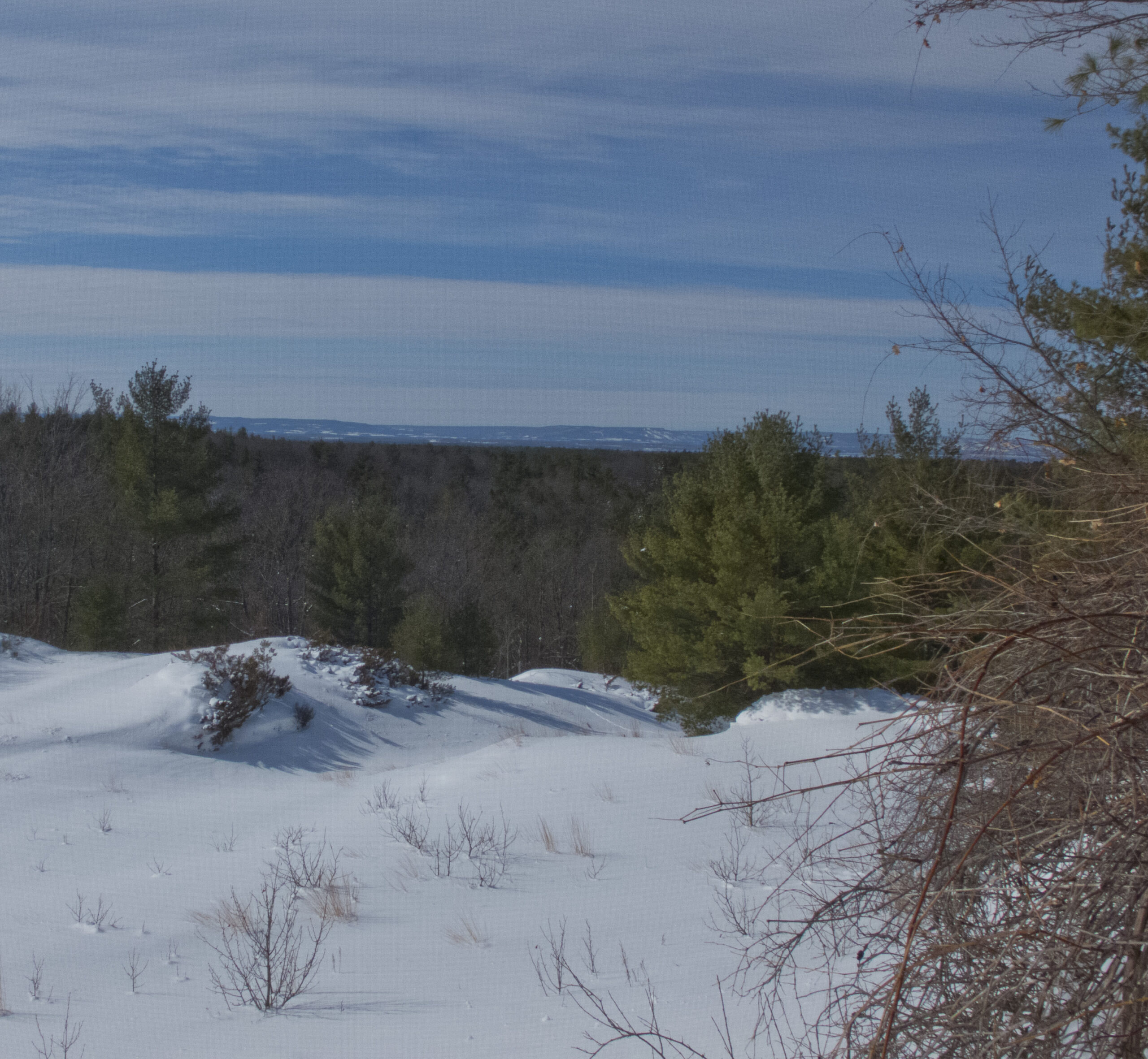
Join us for an awesome day of cross-country skiing and snowshoeing in the forests and dunes of Wasaga Beach Provincial Park. Enjoy self-guided tours on trails groomed for classic and skate skiing, or join Duro for a fun guided snowshoe hike.
There are no food services in the park. Pack water/tea and lunch.
Coach fares must be paid online when you register. Trail fees will be collected in cash on the bus. Masks are mandatory while on the bus.
9:00 International Hike
https://hikesstaging.brucetrail.org/event/900-international-hike-2/Sorry, the registration cut-off time for this hike has been reached.Not a member? Click here to join today!Hosting Club: Niagara
Category: Urban
Location (Google Maps): Park at the Floral Showhouse, Niagara Parkway, just south of the Falls. Paid parking. Niagara Parks Parking passes suggested.Hike Leader(s): Margaret Northfield Click here to contact Hike Leader(s)
Pace: Medium
Terrain: Easy
Distance: 15kmDescription
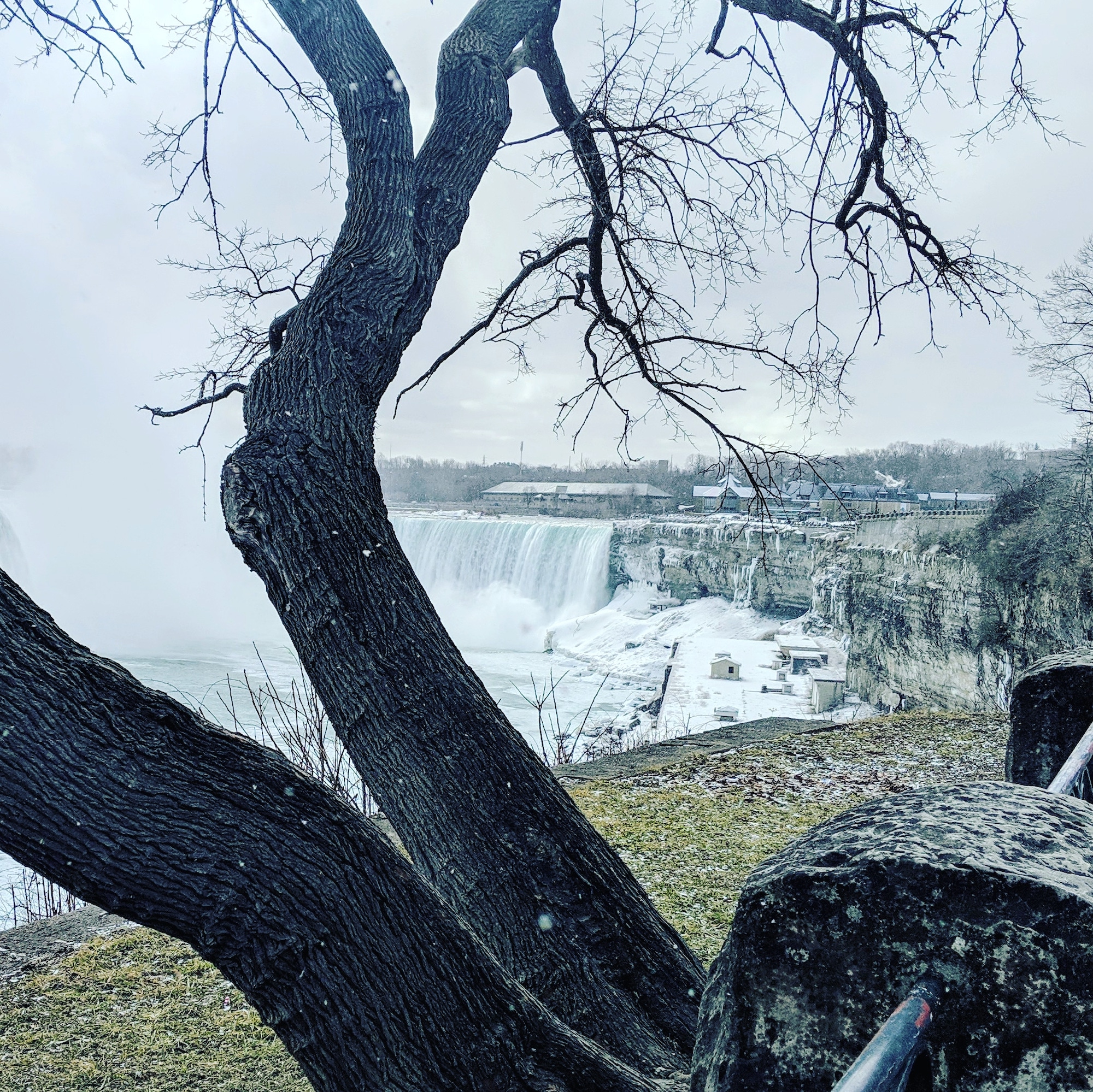
See the Falls from every angle except overhead! Hike to the Rainbow bridge, tour the American side and return to the Canadian Side of the Falls. Bring your passport/Nexus card to cross the bridge and $1 fee. You may have to present your vaccination status.Allow extra time for going through customs.
***CANCELLED** Walters Falls
https://hikesstaging.brucetrail.org/event/walters-falls-4/Sorry, the registration cut-off time for this hike has been reached.Not a member? Click here to join today!Hosting Club: Blue Mountains
Category: Cancelled
Location (Google Maps): Hike meets in the parking lot behind Tim Hortons on First St. in Collingwood.Hike Leader(s): Michael Treuman Click here to contact Hike Leader(s)
Pace: Medium – 3 to 4 km/hr
Terrain: Easy – Mostly flat and usually good footing, Moderate – Some hills and/or some poor footing
Distance: 5kmDescription
Please be prepared with icers’s or snowshoes.The 5km snowshoe loop provides an interesting blend of the scenic and the historic along the river and surrounding woods. There are some steep, but short ascents. The second half of the 19th century saw the area develop into a thriving community, built around the water power of
Walter Creek. At the start, take in the view of the falls and valley from the observation platform. Near the hike’s end, the steepness of the bank makes the strenuous climb up worthwhile especially if you plan to stay for lunch at the Inn. Bring water and a snack. Map 29 Ed. 30Memorial Forest
https://hikesstaging.brucetrail.org/event/memorial-forest-3/Sorry, the registration cut-off time for this hike has been reached.Not a member? Click here to join today!Hosting Club: Sydenham
Category: Snowshoe Hike
Location (Google Maps): Parking area at the west end of Young’s Drive, off of Nichol’s Gully Road, Springmount, south of km 106.7 (Map 32)Hike Leader(s): Maureen McFarland Click here to contact Hike Leader(s)
Pace: Medium: 3 to 4 km/h
Terrain: Moderate: Some hills and/or poor footing, There might be icy and slippery sections.
Distance: 5 kmsDescription
We will explore the Memorial Forest and Merle Gunby Side Trails, including a visit to Jones Falls and a climb up through a crevice. Depending upon the conditions, snowshoes or icers may be needed. Poles would be helpful.
Urban Walk; Waterfront Trail 2/8 - Mississauga Waterfront
https://hikesstaging.brucetrail.org/event/urban-walk-waterfront-trail-2-8-mississauga-waterfront/Sorry, the registration cut-off time for this hike has been reached.Not a member? Click here to join today!Hosting Club: Toronto
Category: Urban Walk
Location (Google Maps): Mississauga Waterfront TrailHike Leader(s): Brian Rideout Click here to contact Hike Leader(s)
Pace: Moderate
Terrain: Flat
Distance: 8.9 kmDescription
Please join me at Union Station under the clock inside the Great Hall no later than 9:00 am. We will take the Lakeshore West train departing 9:14 am, arriving 9:42 am (subject to GO Transit schedule changes). If you want to meet us in Port Credit, please be there by 9:42 am. We start hiking no later than 10:00 am. Consider purchasing the $10 day pass for the GO train for use with your smart phone. Some of you may find the regular senior rate is cheaper. Purchase your ticket / pass in advance.We will hike from Port Credit to Long Branch along the shoreline. The estimated distance is 8.9 km. Here is an online map of our route – Port Credit to Long Branch
Bring a snack, at least 2 liters of water, and icers. Dress for cold weather.
Pine River Discovery Hike
https://hikesstaging.brucetrail.org/event/pine-river-discovery-hike/Sorry, the registration cut-off time for this hike has been reached.Not a member? Click here to join today!Hosting Club: Dufferin Hi-Land
Category: General Hike
Location (Google Maps):Second Line and 15 Sideroad in Mulmur Ontario. From Orangeville, head north on hwy #10 to hwy #89. Turn left and head west to county road #124. Turn right and head north to 15 Sideroad. Turn right and follow to 2nd line. Parking is on the east side of 2nd Line, just north of 15 Sideroad
Hike Leader(s): Tom Thayer and Susan Bate Click here to contact Hike Leader(s)
Pace: Medium
Terrain: Dependent on Conditions, Moderate, Strenuous
Distance: 6 kmDescription
We will be exploring the winter wonders that the Pine River Nature Reserve offers.This is a snowshoe hike so please be sure to bring your snowshoes. Should the weather not behave and snow is not in abundance, we will still do the hike but icer’s would be recommended in this case as there is sure to still be icy patches within the reserve.
Bring snowshoes, icers, mitts, hats, food, and dress according to the weather. To see the current conditions on the day of the hike, click here to access a weather station that is 5 minutes from the reserve.
10:00 Winter Nature Hike
https://hikesstaging.brucetrail.org/event/1000-winter-nature-hike/Sorry, the registration cut-off time for this hike has been reached.Not a member? Click here to join today!Hosting Club: Niagara
Category: Loop
Location (Google Maps): Louth Conservation AreaHike Leader(s): Alicia Aitchison Click here to contact Hike Leader(s)
Pace: Leisurely
Terrain: Moderate
Distance: ~5kmDescription
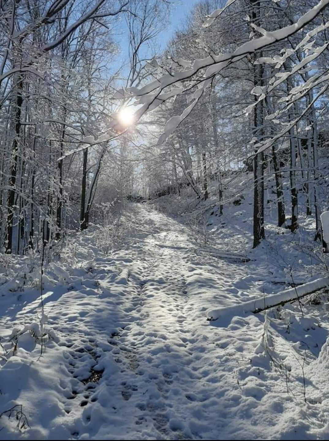
NBTC WINTER NATURE HIKEJoin us for this first of four 2023 NBTC Nature Hikes to learn more about the biodiversity along the Niagara Escarpment. We will explore the trails throughout Louth Conservation area which offer beauty in all four seasons. Hikes will be held January, April, July & October – it will be amazing to see all the changes throughout the seasons. Your hike leaders, members of the NBTC Biodiversity Committee, will share their knowledge of the amazing flora & fauna along the trail as well as any biodiversity projects in the works for this year.
Be sure to register in advance as space is limited & the hike will be rescheduled in the event of heavy rains or heavy snow.
Contact Alicia Aitchison, aliciaaitchison1@gmail.com, with any questions.
Car Hike: Forks of the Credit
https://hikesstaging.brucetrail.org/event/car-hike-forks-of-the-credit/Sorry, the registration cut-off time for this hike has been reached.Not a member? Click here to join today!Hosting Club: Toronto
Category: Car Hike
Location (Google Maps): Elora-Cataract Trailway and Forks of the Credit Provincial Park, Map 15Hike Leader(s): Al Brown Click here to contact Hike Leader(s)
Pace: Moderate
Terrain: Hilly
Distance: 8 kmDescription
We will start at the roadside parking where the Elora-Cataract Trailway crosses Mississauga Road, about 3 km north of Belfountain. From there we will hike along the Trailway to the PP and complete a loop around Kettle Lake. The route includes some of the smaller hills in the Park. We will get a view of the Cataract Falls from the Trailway.Based on current conditions the route will probably not have much snow cover (not much in the forecast). Icers may be needed so bring yours.
To get to the meeting point take Mississauga Road north from Brampton, passing through Belfountain. Continue north about 3 km to where the Trailway crosses Mississauga Road. Parking is available at the side of the road on both sides.
After the hike those interested may join me for light refreshments at a location TBA.
- 15January 15, 2023
Dundas Valley Conservation Area
https://hikesstaging.brucetrail.org/event/dundas-valley-conservation-area-6/Sorry, the registration cut-off time for this hike has been reached.Not a member? Click here to join today!Hosting Club: Iroquoia
Category: General Hike
Location (Google Maps): Dundas Valley Conservation AreaHike Leader(s): Pati Greenwood, Jeff Dowsett Click here to contact Hike Leader(s)
Pace: Medium – 3 to 4 km/hr
Terrain: Moderate – Some hills and/or some poor footing
Distance: 10 kmDescription
We will hike through the Dundas Valley Conservation Area on the main Bruce Trail, the Canterbury Side Trail and Artaban Road Side Trail. Bring water and snacks. Be sure to wear appropriate clothing and footwear, including icers, for the weather conditions.Park in the main Parking lot located at 650 Governor’s Road. Parking fees will be required. See the Hamilton Conservation Authority for more information: https://conservationhamilton.ca/admissions-fees/
Please arrive at 9:15 am as we will leave promptly at 9:30 am.
An optional pub stop will follow the hike – details will be provided prior to the day of the hike.
Urban Walk; Waterfront Trail 1/8 - Rattray Marsh
https://hikesstaging.brucetrail.org/event/urban-walk-waterfront-trail-1-8-rattray-marsh-2/Sorry, the registration cut-off time for this hike has been reached.Not a member? Click here to join today!Hosting Club: Toronto
Location (Google Maps): Mississauga Waterfront Trail
Hike Leader(s): Brian Rideout Click here to contact Hike Leader(s)
Pace: Moderate
Terrain: Flat
Distance: 9.3 kmDescription
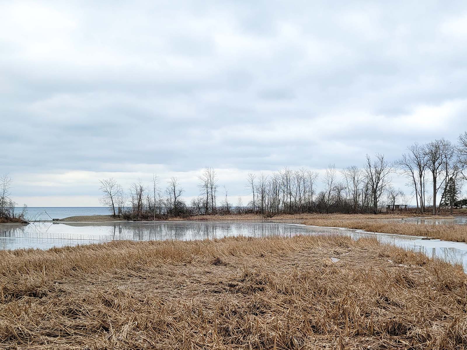
Please join me at Union Station under the clock inside the Great Hall no later than 9:00 am. We will take the 9:14 train to Clarkson, arriving 9 :49 am. If you want to meet us in Clarkson be there at that time. We start hiking at 10:00 am. Consider purchasing the $10 day pass for the GO train for use with your smart phone. Some of you may find the regular senior rate is cheaper.We will hike from Clarkson to Port Credit through Rattray Marsh and along the shoreline. Our pace will be a moderate 4km / hour. The estimated distance is 9.9 km. Here is an online map of our route Rattray Marsh to Port CreditBring a snack, at least 2 liters of water, and icers. Dress for cold weather.Urban Walk: Downtown Toronto PATH Network
https://hikesstaging.brucetrail.org/event/urban-walk-downtown-toronto-path-network/Sorry, the registration cut-off time for this hike has been reached.Not a member? Click here to join today!Hosting Club: Toronto, Blue Mountains
Category: Urban Walk
Location (Google Maps): Union Station – Meet in the Great Hall off of Front Street by the information desk with the clock over it.Hike Leader(s): Tom Swales Click here to contact Hike Leader(s)
Pace: Leisurely
Terrain: Flat, Other (Refer to Description)
Distance: 5 kmDescription
Join us for an exploration of Toronto’s underground PATH Network that connects office buildings, subway stations, shops, and sports and entertainment venues across downtown Toronto. While mostly outdoors we’ll venture outside briefly to see the “Labyrinth” in Trinity Square and City Hall and Nathan Phillips Square. Inside we’ll see the vault of the Bank of Toronto, artwork, and even a waterfall. After the walk we will end with beverages and lunch at Corks Beer & Wine Bar in the Longo’s across from the Scotiabank Arena, a short walk back to Union Station. Note that some escalators are not powered on the weekend so expect some stair climbs.