
Hike Schedule
Join us for a hike! Registration required.
All hikes available to BTC members. Some hikes are open to non-members.
See Refund Policy for Paid Hikes >
TIP: The calendar view displays up to 7 hikes on a day, but often there are more. Click “View more events” to see them all.
Categories
- 29October 29, 2022

9:00 Cave Spring Witch Hunt
https://hikesstaging.brucetrail.org/event/900-cave-spring-witch-hunt-5/Sorry, the registration cut-off time for this hike has been reached.Not a member? Click here to join today!Hosting Club: Niagara
Location (Google Maps):
Parking lot Quarry Road Beamsville
Hike Leader(s): Bill Russell Click here to contact Hike Leader(s)
Pace: Leisurely
Terrain: Moderate
Distance: 6kDescription
Discover the history of the 19th Century Quarry Pioneers and the Cave Spring Witch.

#3/3 Toronto Bruce Trail Club 60th Anniversary Badge Hike - 18km
https://hikesstaging.brucetrail.org/event/3-3-toronto-bruce-trail-club-60th-anniversary-badge-hike-18km/Sorry, the registration cut-off time for this hike has been reached.Not a member? Click here to join today!Hosting Club: Toronto
Category: Car Hike
Location (Google Maps):Scotsdale Farm -North of km29.7.Enter from Trafalgar Rd, 1.7 km nothwest of Highway 7. PS: 43.687772, -79.990300
Hike Leader(s): Alina Lin
Pace: Moderate
Terrain: Challenging, Hilly, Rocky, Variable
Distance: 18kmDescription
Founded in 1962, Toronto Bruce Trail Club is 60 years young ! To celebrate its birth year and the first blaze painted on the Bruce Trail, the Club has launched the 60th Anniversary badge. We are going to do a series of three hikes for a total of 60+ km to earn this badge. If you are a badge hunter, or simply just want to enjoy a long hike along the Niagara Escarpment during this golden season, join us!Depart 9:30 am. Please arrive a bit early to give yourself enough time to get ready. Prepare to walk for around 6 hours with only a 15-minute lunch break. Hiking poles are highly recommended.
Terrain: hilly, rocky, variable and challenging
Difficulty – intermediate to advanced
Pace – 4km/hour
Bring lunch and at least 1.5L water
No dropouts
No dogs
Hiking boots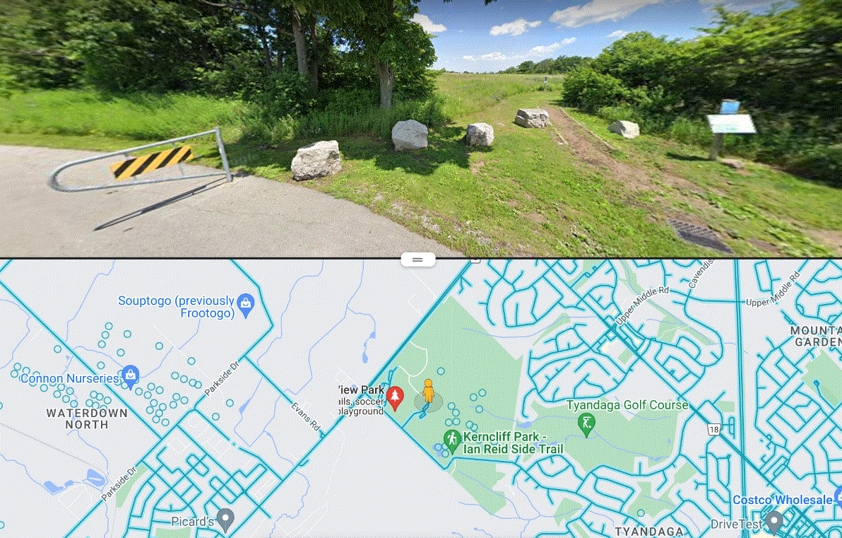
City View Park to Smokey Hollow (Waterdown Woods) MAP 9
https://hikesstaging.brucetrail.org/event/city-view-park-to-smokey-hollow-waterdown-woods-map-9/Sorry, the registration cut-off time for this hike has been reached.Not a member? Click here to join today!Hosting Club: Iroquoia
Category: General Hike
Location (Google Maps): We will meet at City View Park, 2500 Kerns Rd, Burlington (SOUTH ENTRANCE-2nd entrance south of Dundas) and start from the blue side trail off parking lotHike Leader(s): Cathie Green Click here to contact Hike Leader(s)
Pace: Medium – 3 to 4 km/hr
Terrain: Moderate – Some hills and/or some poor footing
Distance: Approx 12kmDescription
MEET at City View Park at the SECOND parking lot going south from Dundas St.- We will start at blue side trail from parking lot and cross Kerns Rd and hike Main trail through the well established trails of Waterdown Woods over King St.(Salamander alley in Spring) to Mountain Brow Rd.
We will take blue side trail to Smokey Hollow to view falls and have a snack/lunch break- We will go back mostly the same way towards Kerncliff Park . Bring water, snack/lunch, appropriate clothing-rain or shine unless storm conditions prevail.
Any questions or concerns, please text or call 416-931-2095 Cathie
- 30October 30, 2022
Dundas Valley
https://hikesstaging.brucetrail.org/event/dundas-valley-9/Sorry, the registration cut-off time for this hike has been reached.Not a member? Click here to join today!Hosting Club: Iroquoia
Category: General Hike
Location (Google Maps): Please meet at the main Dundas Valley Conservation Area parking lot off Governors Road about half a km northeast of km 51.8, BTC Map 8.Hike Leader(s): Stuart Law Click here to contact Hike Leader(s)
Pace: Medium – 3 to 4 km/hr
Terrain: Moderate – Some hills and/or some poor footing
Distance: 17 kmDescription
Join us for a loop hike of the Dundas Valley taking in Canterbury and Sherman Falls. Easy trail so you can afford to look up and relax. Please bring water, a warm drink, snack, lunch, an appreciation of nature and a smile. Fee payable on entering the Conservation Area. Hamilton Conservation pass recommended. Possible optional pub stop after.
Urban Walk: Ajax GO to Pickering GO
https://hikesstaging.brucetrail.org/event/urban-walk-ajax-go-to-pickering-go/Sorry, the registration cut-off time for this hike has been reached.Not a member? Click here to join today!Hosting Club: Toronto
Category: Urban Walk
Location (Google Maps): Great Lakes Waterfront Trail, Ajax/PickeringHike Leader(s): Brian Rideout Click here to contact Hike Leader(s)
Pace: Moderate
Terrain: Flat
Distance: 11 kmDescription
Please join me under the clock in the Great Hall at Union Station by 9:05 am. We will take the eastbound Lakeshore Train departing Union Station GO at 9:20 am, arriving Ajax GO at 10:06 am. You may choose to join the group at Ajax GO Station.We will hike south to Lake Ontario, west to Sandy Beach Rd, and north to Bayly St with a pub stop at Irish Times adjacent to Pickering GO.
Here is an online map of our route (please click on the link): Ajax to Pickering
- 31October 31, 2022
Sherman Falls and Tiffany Falls
https://hikesstaging.brucetrail.org/event/sherman-falls-and-tiffany-falls-2/Sorry, the registration cut-off time for this hike has been reached.Not a member? Click here to join today!Hosting Club: Iroquoia
Category: Happy Wanderers
Location (Google Maps): Dundas Valley Trail CentreHike Leader(s): Wayne Riley Click here to contact Hike Leader(s)
Pace: Brisk – 4 to 5 km/hr, Medium – 3 to 4 km/hr
Terrain: Moderate – Some hills and/or some poor footing
Distance: 14 – 16 kDescription
We will meet at the parking lot of the Dundas Valley Trail Centre 43.248410 79.993747, fee appliesWe will take the Artaban side trail to Sherman and Tiffany Falls and return on the main trail to Canterbury Falls then back to the parking lot ( 14-16K )
Bring water, lunch, insect spray, hiking boots and no dogs please
RSVP using the Bruce Trail site
Cancellations the morning of the hike call 289 456 3498
- 01November 1, 2022
8:00 Long Hike Wiley Road Short Hills
https://hikesstaging.brucetrail.org/event/800-long-hike-wiley-road-short-hills-20/Sorry, the registration cut-off time for this hike has been reached.Not a member? Click here to join today!Hosting Club: Niagara
Category: Loop
Location (Google Maps):Short Hills Wiley Road Entrance
Hike Leader(s): Alan Laver Click here to contact Hike Leader(s)
Pace: Medium
Terrain: Moderate
Distance: 10kmDescription
Explore Short Hills and the majestic side trails of Scarlett Tanager, Hemlock. Swayze Falls and Terrace. Register for each hike
Bring Poles water, snack and dress for the weather
Blue Mountains - Duntroon
https://hikesstaging.brucetrail.org/event/blue-mountains-duntroon/Sorry, the registration cut-off time for this hike has been reached.Not a member? Click here to join today!Hosting Club: Caledon Hills
Category: Car Hike
Location (Google Maps): Parking lot at km 31.7 Map 22.Take Hwy 10 North. At Primrose turn left then in 5 km turn right on County Rd. 124. Follow for 30 km. In village of Singhampton turn right and follow #124 for 4 km to Devil’s Glen parking on the right. Leader’s cell phone 905-301-4091.Hike Leader(s): Peter Leeney Click here to contact Hike Leader(s)
Pace: Moderate
Terrain: Variable
Distance: 14 kmDescription
We will hike north from the Devil’s Glen parking lot as far as Simcoe Rd 91 where we will visit Frank’s Lime Kiln. (The Main Trail no longer follows Conc. 10). Return by the same route, possibly following 2 km of road on Conc. 10 (now a side trail) to shorten the distance.